Hargatewall
Settlement in Derbyshire High Peak
England
Hargatewall
Hargatewall is a small village located in the county of Derbyshire, England. Situated in the picturesque Peak District National Park, it is surrounded by stunning natural beauty and offers a peaceful and idyllic setting for residents and visitors alike.
The village is known for its charming stone cottages, which are a testament to its rich history. Hargatewall has a population of approximately 500 residents, creating a close-knit and friendly community atmosphere. The village is well-connected, with good transport links to nearby towns and cities, making it a popular choice for those seeking a rural retreat with easy access to urban amenities.
Nature enthusiasts will be delighted by the abundance of outdoor activities in the area. Hargatewall is surrounded by rolling hills, verdant valleys, and breathtaking landscapes, making it an ideal location for hiking, cycling, and exploring the great outdoors. The nearby Hargatewall Forest offers a tranquil escape, with its ancient woodlands and diverse wildlife.
Despite its small size, Hargatewall boasts a number of amenities to cater to its residents. These include a village hall, a local pub, and a convenience store, ensuring that basic needs are met within the community. Additionally, the village is within reach of larger towns, providing access to a wider range of services and facilities.
In summary, Hargatewall is a charming village nestled within the stunning Derbyshire countryside. Its rich history, friendly community, and breathtaking natural surroundings make it an appealing destination for those seeking a peaceful retreat in a picturesque setting.
If you have any feedback on the listing, please let us know in the comments section below.
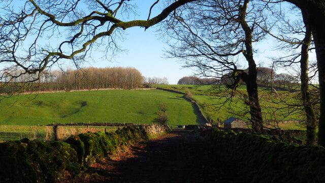
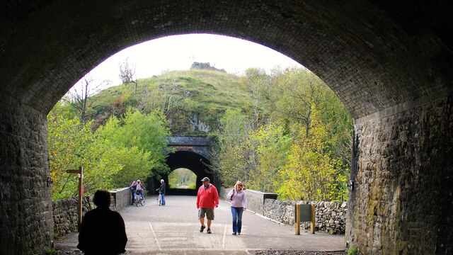
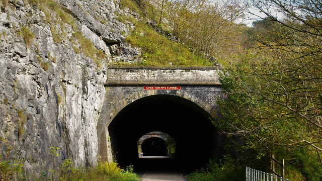
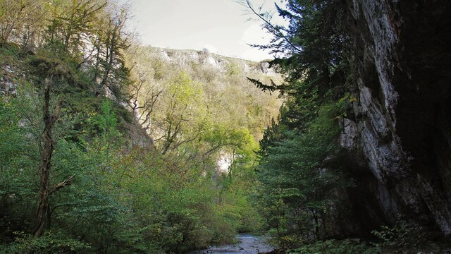
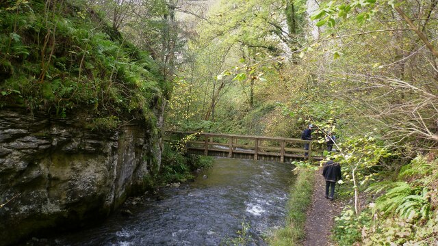
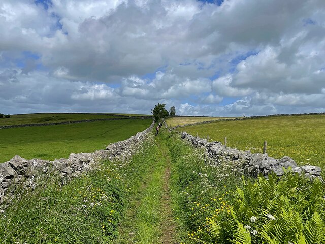
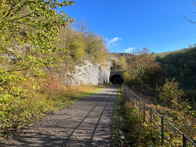
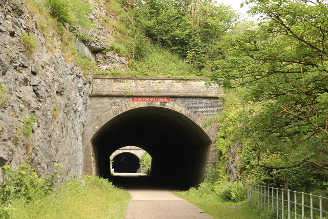
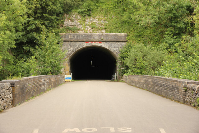
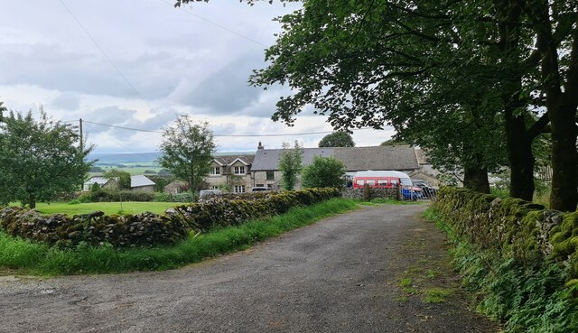
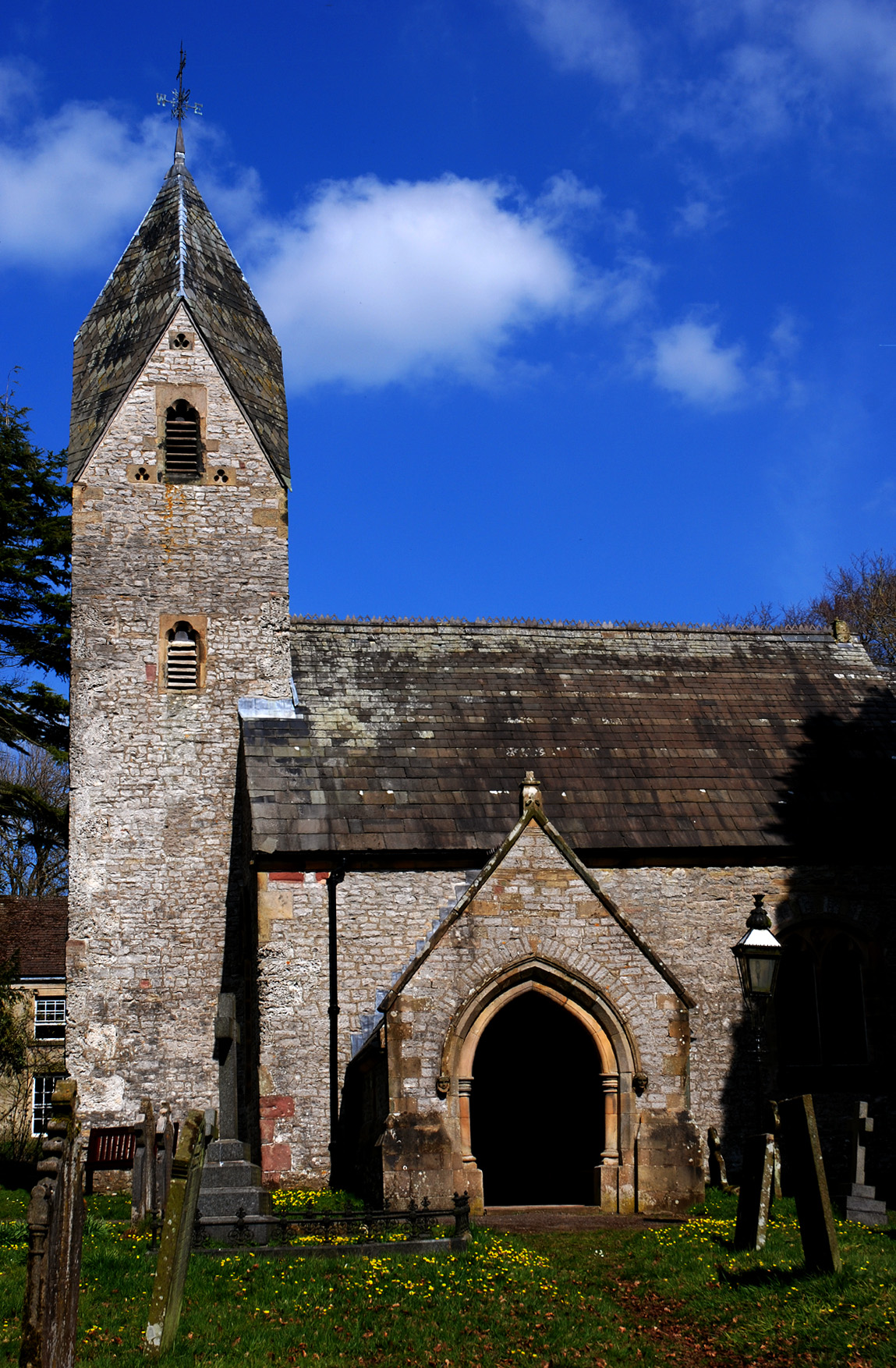
Hargatewall Images
Images are sourced within 2km of 53.27214/-1.820232 or Grid Reference SK1275. Thanks to Geograph Open Source API. All images are credited.


Hargatewall is located at Grid Ref: SK1275 (Lat: 53.27214, Lng: -1.820232)
Administrative County: Derbyshire
District: High Peak
Police Authority: Derbyshire
What 3 Words
///speaking.nylon.remission. Near Tideswell, Derbyshire
Nearby Locations
Related Wikis
Wormhill
Wormhill is a village and civil parish in the High Peak district of Derbyshire, England, situated east by north of Buxton. The population of the civil...

Hargate Wall
Hargate Wall is a hamlet in Derbyshire, England, situated northeast of Buxton and now part of Wormhill. The name Hargate Wall derives from Old English...
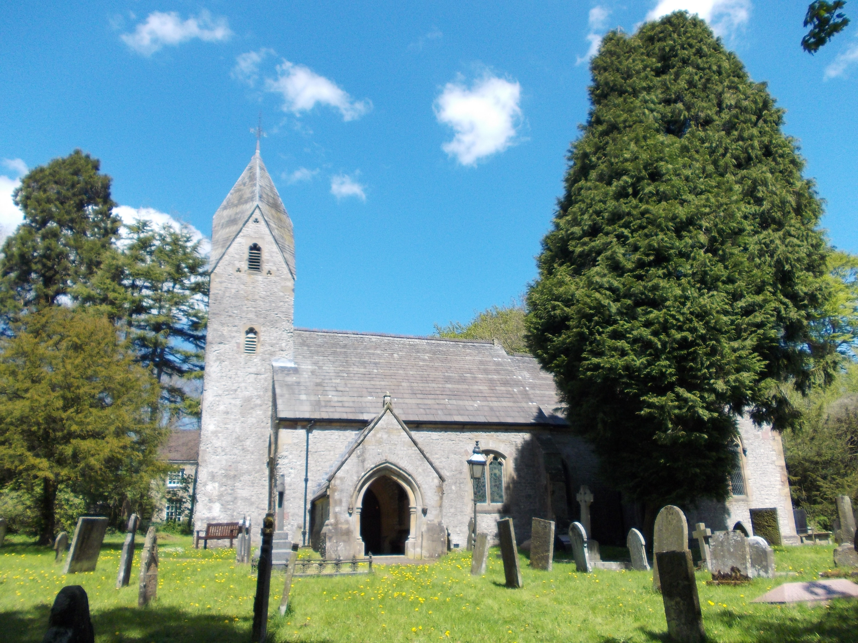
St Margaret's Church, Wormhill
St Margaret's Church, Wormhill is a Grade II* listed parish church in the Church of England in Wormhill, Derbyshire. == History == The medieval chapel...

Peter Dale (Derbyshire)
Peter Dale is a short dry crag-sided valley near Buxton, Derbyshire, in the Peak District of England. There is a farmland plateau on either side. The northern...
Related Videos
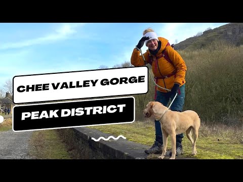
Chee Dale Stepping Stones - Peak District #peakdistrict #hiking
Chee Dale Stepping Stones - Peak District #shorts #peakdistrict #hiking You'll love Chee Dale Stepping Stones, a thrilling ...

A Short Family Hike - Monsal Trail #peakdistrict #peakdistrictwalks #peakdistrictproud #hiking
peakdistrict #hiking #peakdistrictwalks #nationalpark #peakdistrictproud #littleexplorer #monsaltrail #walking.
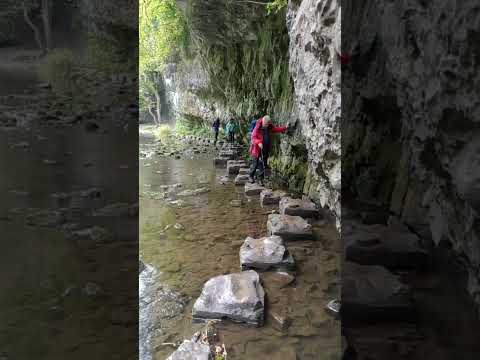

Chee Dale Stepping Stone Walk | Peak District
Down in the Peak Districts secluded Chee Dale, you can find not 1 but 2 sets of stepping stones. In my opinion these are the best ...
Nearby Amenities
Located within 500m of 53.27214,-1.820232Have you been to Hargatewall?
Leave your review of Hargatewall below (or comments, questions and feedback).