Hare Street
Settlement in Essex Epping Forest
England
Hare Street
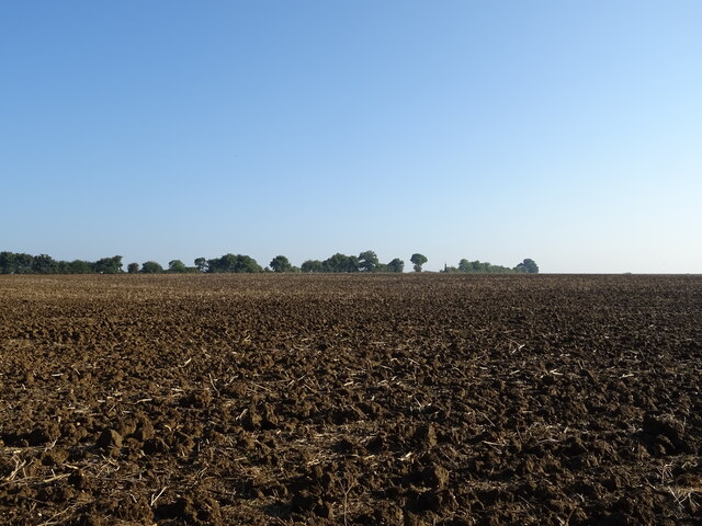
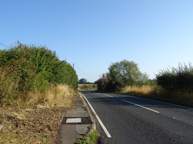
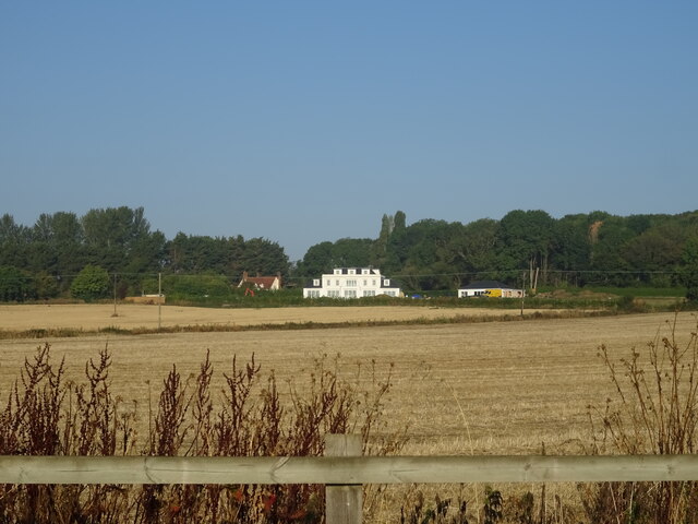
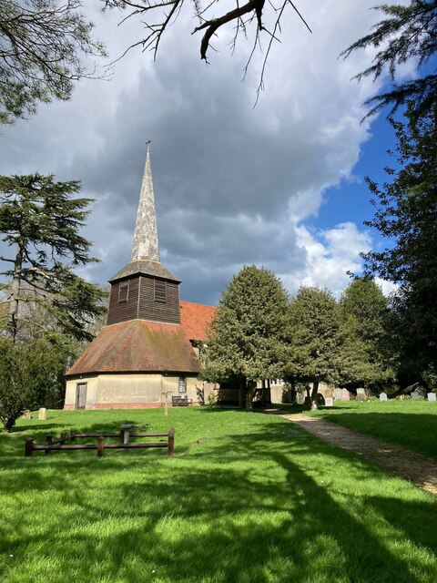
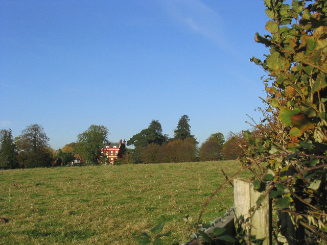
Hare Street is a small rural village located in the county of Essex, England. Situated approximately 3 miles northeast of the town of Buntingford, it lies in the district of East Hertfordshire. The village is nestled in the picturesque countryside, surrounded by fields and farmland, offering a tranquil and peaceful atmosphere.
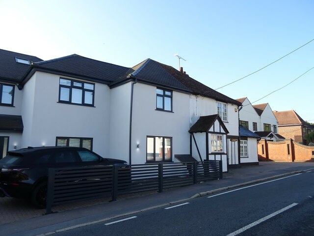
Hare Street is characterized by its traditional English charm, with a scattering of quaint cottages and period houses lining its streets. The village is home to a close-knit community, with a population of around 300 residents. It has managed to retain its rural character and remains relatively untouched by modern development.
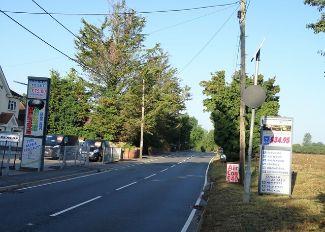
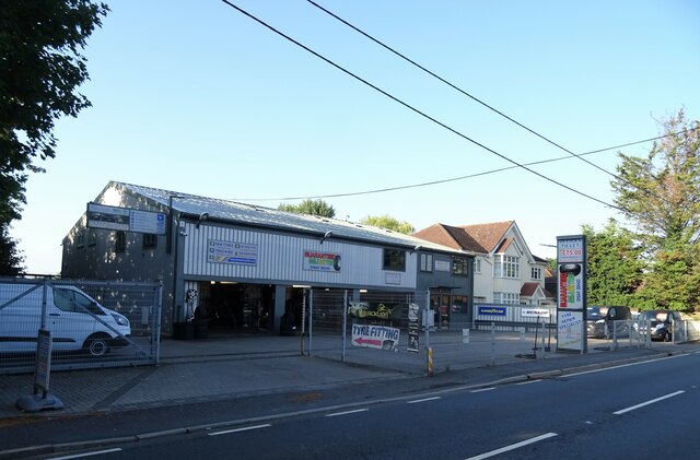
The village benefits from its proximity to nearby amenities and transport links, making it a desirable location for those seeking a rural lifestyle without being too far from urban conveniences. The neighboring town of Buntingford offers a range of services, including shops, schools, and leisure facilities.
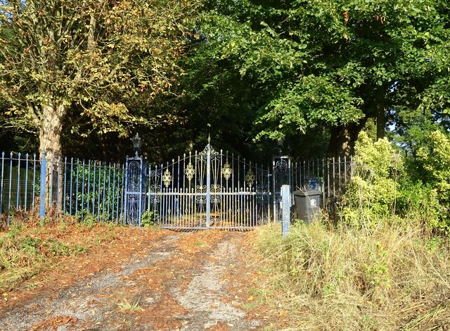
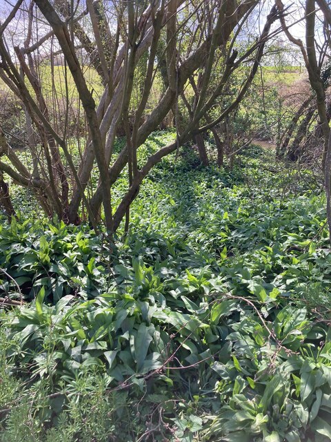
For nature lovers, Hare Street provides ample opportunities for outdoor activities. The surrounding countryside boasts scenic walking and cycling routes, with several public footpaths and bridleways leading to beautiful vistas and local landmarks.
Overall, Hare Street offers a peaceful and idyllic setting for residents who appreciate the beauty of the English countryside. Its rural charm, community spirit, and convenient location make it a desirable place to live for those seeking a slower-paced, village lifestyle.
If you have any feedback on the listing, please let us know in the comments section below.
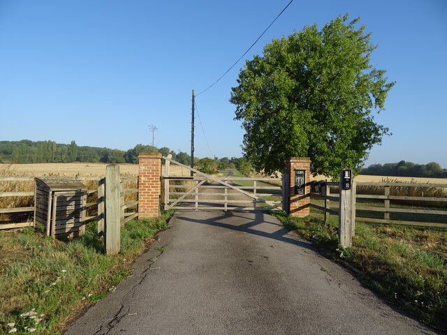
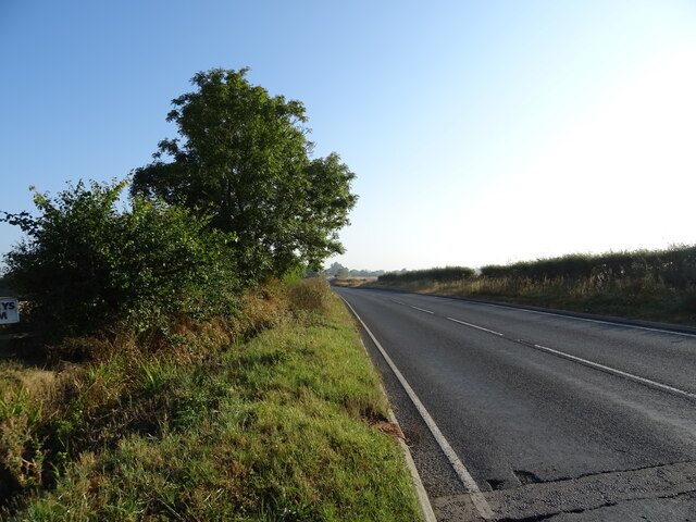
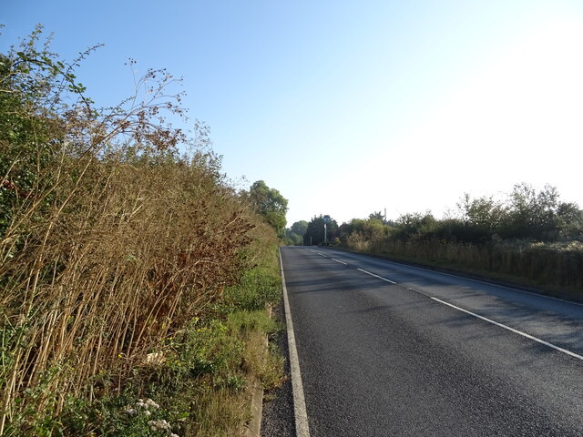
Hare Street Images
Images are sourced within 2km of 51.678414/0.22212303 or Grid Reference TL5300. Thanks to Geograph Open Source API. All images are credited.


Hare Street is located at Grid Ref: TL5300 (Lat: 51.678414, Lng: 0.22212303)
Administrative County: Essex
District: Epping Forest
Police Authority: Essex
What 3 Words
///shape.origin.trick. Near Chipping Ongar, Essex
Nearby Locations
Related Wikis

Brentwood and Ongar (UK Parliament constituency)
Brentwood and Ongar is a constituency in Essex represented in the House of Commons of the UK Parliament since 2017 by Alex Burghart, a Conservative, serving...

Stanford Rivers
Stanford Rivers is a village and civil parish in the Epping Forest district of Essex, England. The parish, which is approximately 11 miles (18 km) west...

Kelvedon Hall
Kelvedon Hall is a country house in the village of Kelvedon Hatch, near Brentwood, Essex, England. Originally the site of an important medieval manor,...

Clatterford End, Stanford Rivers
Clatterford End is hamlet in the civil parish of Stanford Rivers, and in the Epping Forest district of Essex, England. The hamlet is situated between the...
Nearby Amenities
Located within 500m of 51.678414,0.22212303Have you been to Hare Street?
Leave your review of Hare Street below (or comments, questions and feedback).