Hare Runs

Settlement in Lancashire Lancaster

England

Hare Runs

Lancaster Station Originally built in 1846, extended in 1906 and remodelled with electrification in 1973, Lancaster is one of the principal stations on the West Coast Main Line between London and Glasgow.  It serves as an interchange for trains to Morecambe, Leeds (via Skipton), Barrow and the Cumbrian Coast, and Windermere.
Lancaster Station Credit: N Chadwick

Hare Runs is a small village located in the county of Lancashire, in the northwest of England. Situated about 5 miles east of the city of Preston, Hare Runs is part of the larger civil parish of Longton.

The village is known for its picturesque countryside setting, surrounded by rolling hills and lush green fields. It has a population of around 500 residents, making it a close-knit and tight community. Hare Runs boasts a peaceful and tranquil atmosphere, making it an ideal place for those seeking a quieter lifestyle away from the hustle and bustle of city living.

Despite its small size, Hare Runs offers a range of amenities to its residents. The village has a local primary school, providing education for children in the area. There is also a village hall, which serves as a hub for community events and gatherings. The hall hosts various activities such as craft fairs, social clubs, and fitness classes, fostering a strong sense of community spirit.

For those who enjoy outdoor activities, Hare Runs provides ample opportunities for walking, cycling, and exploring the countryside. The village is surrounded by several nature reserves and parks, offering beautiful trails and scenic spots for outdoor enthusiasts.

Although Hare Runs may be small, its charm and idyllic setting make it a delightful place to live or visit, offering a peaceful retreat from urban life.

If you have any feedback on the listing, please let us know in the comments section below.
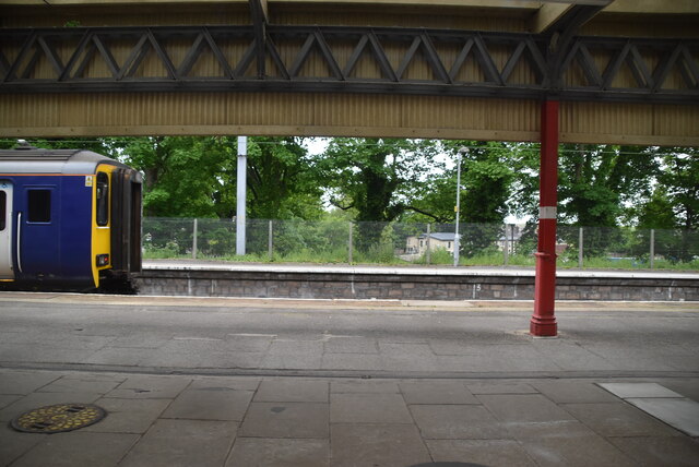
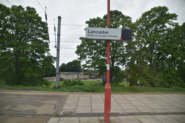
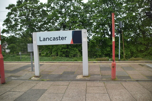
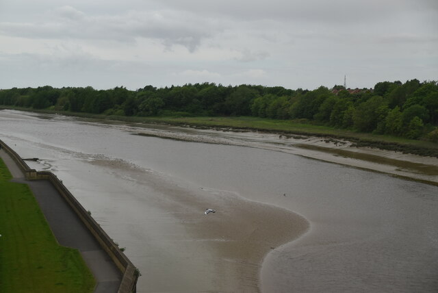
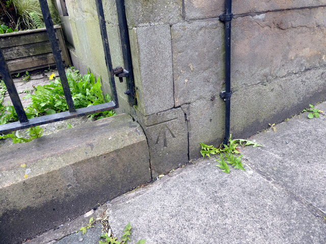
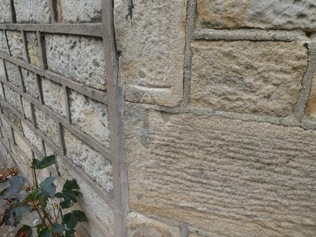
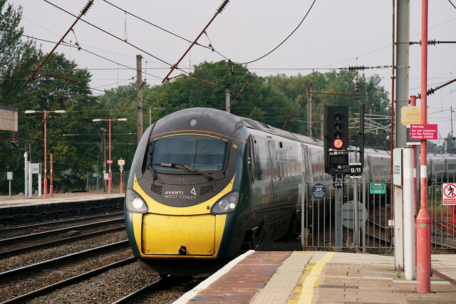
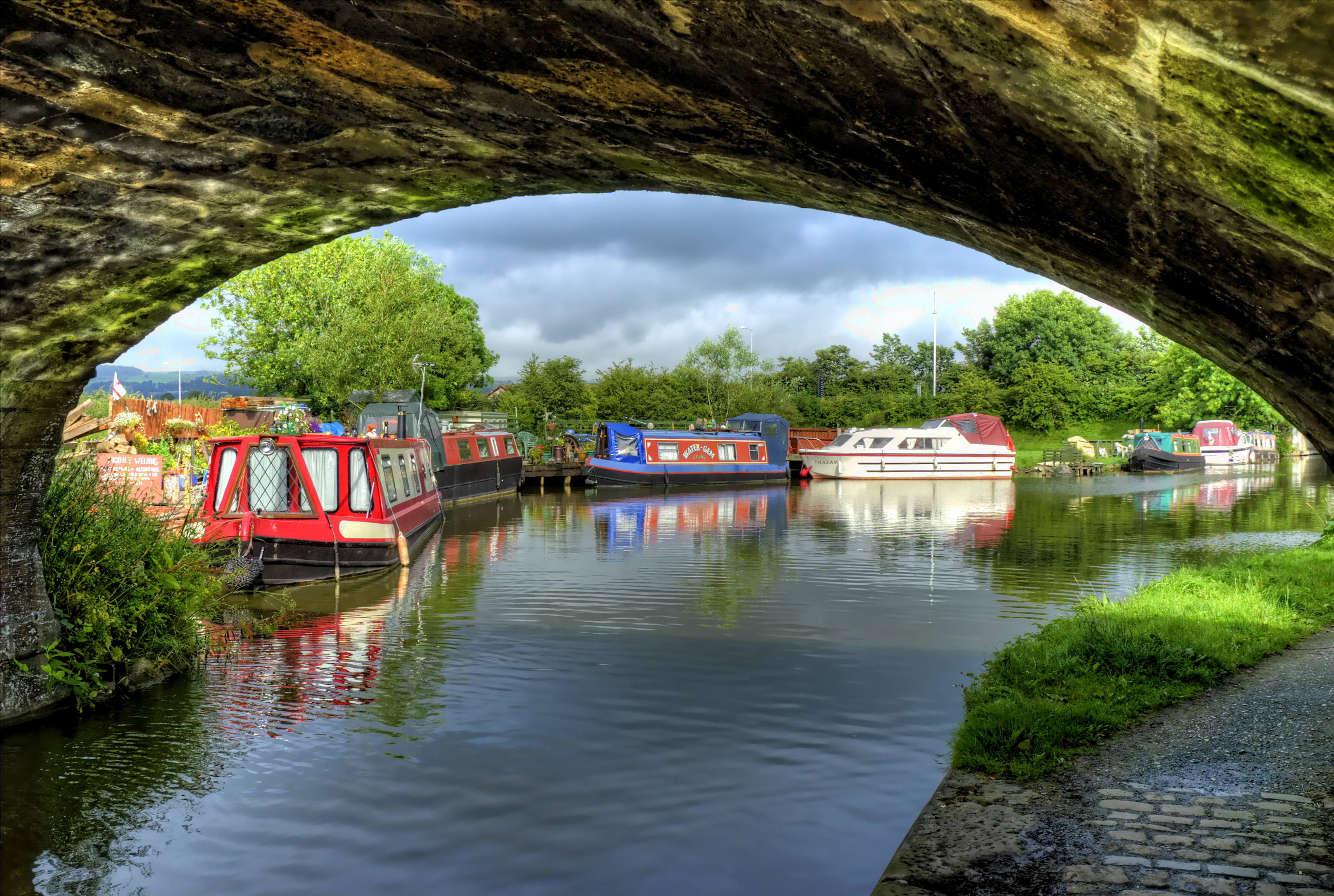
Hare Runs Images

Images are sourced within 2km of 54.064859/-2.8105667 or Grid Reference SD4763. Thanks to Geograph Open Source API. All images are credited.

Lancaster Station Originally built in 1846, extended in 1906 and remodelled with electrification in 1973, Lancaster is one of the principal stations on the West Coast Main Line between London and Glasgow.  It serves as an interchange for trains to Morecambe, Leeds (via Skipton), Barrow and the Cumbrian Coast, and Windermere.
Lancaster Station
Originally built in 1846, extended in 1906 and remodelled with electrification in 1973, Lancaster is one of the principal stations on the West Coast Main Line between London and Glasgow. It serves as an interchange for trains to Morecambe, Leeds (via Skipton), Barrow and the Cumbrian Coast, and Windermere.
River Lune The River Lune rises in the North Pennines and flows generally westward to its mouth just west of Lancaster, a total length of 44 miles.
Wikipedia: <span class="nowrap"><a title="http://en.wikipedia.org/wiki/River_Lune" rel="nofollow ugc noopener" href="http://en.wikipedia.org/wiki/River_Lune">Link</a><img style="margin-left:2px;" alt="External link" title="External link - shift click to open in new window" src="https://s1.geograph.org.uk/img/external.png" width="10" height="10"/></span>
River Lune
The River Lune rises in the North Pennines and flows generally westward to its mouth just west of Lancaster, a total length of 44 miles. Wikipedia: LinkExternal link
Field by the Lancaster bypass
Farmland
Farmland
In the railway triangle
OS Bench Mark OS cut bench mark from the 19th century levelling, on the corner of the Reform Club building. 33.3 feet above old datum.
OS Bench Mark
OS cut bench mark from the 19th century levelling, on the corner of the Reform Club building. 33.3 feet above old datum.
OS Bench Mark OS cut bench mark from the 19th century levelling, on an angle of De Vitre Street. Somewhat weathered. 59.2 feet above old datum.
OS Bench Mark
OS cut bench mark from the 19th century levelling, on an angle of De Vitre Street. Somewhat weathered. 59.2 feet above old datum.
OS Bench Mark (remains) OS cut bench mark from the 19th century levelling, on the corner of Phoenix Street and St Leonard's Gate. 43.7 feet above old datum. Due to spalling of the sandstone, only the horizontal bar and right-hand diagonal are still visible.
OS Bench Mark (remains)
OS cut bench mark from the 19th century levelling, on the corner of Phoenix Street and St Leonard's Gate. 43.7 feet above old datum. Due to spalling of the sandstone, only the horizontal bar and right-hand diagonal are still visible.
OS Bench Mark OS cut bench mark from the first, 19th century, levelling, at corner of Phoenix Street and Parliament Street. 26.8 feet above old datum. Rather weathered.
OS Bench Mark
OS cut bench mark from the first, 19th century, levelling, at corner of Phoenix Street and Parliament Street. 26.8 feet above old datum. Rather weathered.
Lancaster TransPennine Express, with a service to Edinburgh.
Lancaster
TransPennine Express, with a service to Edinburgh.
Lancaster TransPennine Express, with a service to Manchester Airport.
Lancaster
TransPennine Express, with a service to Manchester Airport.
Lancaster TransPennine Express, with a service to Manchester Airport.
Lancaster
TransPennine Express, with a service to Manchester Airport.
Lancaster Northern service departing from platform 5.
Lancaster
Northern service departing from platform 5.
Lancaster Avanti train, with a service bound for London.
Lancaster
Avanti train, with a service bound for London.
Roman Milestone, Lancaster Museum Not on general display. This milestone was found  at Burrow Heights, Aston with Stodday in a similar location to <a href="https://www.geograph.org.uk/photo/6034654">SD4761 : Old Roman Milestone in Lancaster City Museum, Lancaster Parish</a>. (during ploughing or during canal works). It dates to 244-249 and the period of Emperor Caesar Marcus Julius Philippus (Philip 1) The companion milestone on display comes from the following emperor, Decius, suggesting the earlier was succeeded by the newer one in the same location.
Records imply it was probably displayed at Lunecliffe (Stodday Lodge) before it came to the museum in 1936 from the donor. For more on the Museum - their website <span class="nowrap"><a title="https://www.lancastermoah.org/" rel="nofollow ugc noopener" href="https://www.lancastermoah.org/">Link</a><img style="margin-left:2px;" alt="External link" title="External link - shift click to open in new window" src="https://s1.geograph.org.uk/img/external.png" width="10" height="10"/></span>

Inscription: IMP C M INL IO / PHILIPPO / PIO FEL AVG / N
(to the Emperor Marcus Julius Pilippus, pious, fortunate august reigned)

Milestone Society National ID: LA_XROMAN03
Roman Milestone, Lancaster Museum
Not on general display. This milestone was found at Burrow Heights, Aston with Stodday in a similar location to SD4761 : Old Roman Milestone in Lancaster City Museum, Lancaster Parish. (during ploughing or during canal works). It dates to 244-249 and the period of Emperor Caesar Marcus Julius Philippus (Philip 1) The companion milestone on display comes from the following emperor, Decius, suggesting the earlier was succeeded by the newer one in the same location. Records imply it was probably displayed at Lunecliffe (Stodday Lodge) before it came to the museum in 1936 from the donor. For more on the Museum - their website LinkExternal link Inscription: IMP C M INL IO / PHILIPPO / PIO FEL AVG / N (to the Emperor Marcus Julius Pilippus, pious, fortunate august reigned) Milestone Society National ID: LA_XROMAN03
Farmhouse at Belmount View from West Coast Main Line
Farmhouse at Belmount
View from West Coast Main Line
Show me another place!

Hare Runs is located at Grid Ref: SD4763 (Lat: 54.064859, Lng: -2.8105667)

Administrative County: Lancashire

District: Lancaster

Police Authority: Lancashire

What 3 Words

///adjust.arts.ranch. Near Lancaster, Lancashire

Nearby Locations

Skerton Hare Runs

Related Wikis

Lancaster Canal

The Lancaster Canal is a canal in North West England, originally planned to run from Westhoughton in Lancashire to Kendal in south Cumbria (historically...

Lancaster John O' Gaunt Rowing Club

Lancaster John O'Gaunt Rowing Club (JOG) is an English rowing club based at Lancaster on the River Lune. Its origins date back to 1842 making it the fifth...

Scale Hall railway station

Scale Hall railway station served the suburb of Scale Hall in Lancaster, Lancashire, England. The station was located near Scale Hall Lane on Morecambe...

Carlisle Bridge, Lancaster

The Carlisle Bridge is the main railway bridge crossing the River Lune at Lancaster, Lancashire, England, carrying the West Coast Main Line over three...

Skerton Community High School

Skerton Community High School was a secondary school in Skerton, Lancaster, England. == Foundation == Skerton Community High School was built by the Corporation...

Lancaster and Morecambe College

Lancaster and Morecambe College is a further education College situated on Torrisholme Road, between Lancaster and Morecambe, Lancashire, England. The...

Heart North Lancashire & Cumbria

Heart North Lancashire & Cumbria (formerly The Bay) was an Independent Local Radio station owned and operated by Global Radio as part of the Heart network...

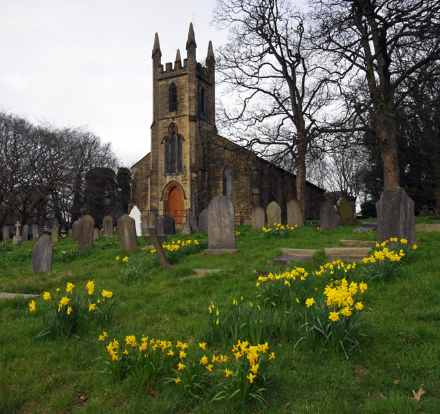
St Luke's Church, Skerton

St Luke's Church is an active Anglican church in the suburb of Skerton in Lancaster, Lancashire, England. It is a grade II listed building. It was built...

Nearby Amenities

Located within 500m of 54.064859,-2.8105667
Ainsdale Close
Bench: no
Bus: yes
Naptan AtcoCode: 2500LAA16531
Naptan Bearing: S
Naptan BusStopType: HAR
Naptan CommonName: Ainsdale Close
Naptan Indicator: opp
Naptan Landmark: Ainsdale Close
Naptan LocalityCode: N0078706
Naptan Street: St Chads Drive
Naptan Verified: yes
Physically Present: no
Public Transport: stop_position
Shelter: no
Lat/Long: 54.0626317/-2.8115848
Direction: both
Surface: asphalt
Traffic Calming: hump
Lat/Long: 54.0626902/-2.8064381
Direction: both
Surface: asphalt
Traffic Calming: hump
Lat/Long: 54.0617845/-2.8077852
Direction: both
Surface: asphalt
Traffic Calming: hump
Lat/Long: 54.061446/-2.8085777
Direction: both
Surface: asphalt
Traffic Calming: hump
Lat/Long: 54.0611366/-2.8094498
Post Office
Vale Post Office
Addr City: Lancaster
Addr Housenumber: 21
Addr Postcode: LA1 2LS
Addr Street: Noel Road
Brand: Post Office
Brand Wikidata: Q1783168
Check Date: 2023-09-27
Level: 0
Ref Pol Id: 136002
Website: https://www.postoffice.co.uk/branch-finder/3494187/the-vale
Lat/Long: 54.0610062/-2.8068192
Bus Stop
Fairhope Avenue
Bench: no
Bin: no
Bus: yes
Lit: yes
Naptan AtcoCode: 2500LA00227
Naptan Bearing: SW
Naptan CommonName: Fairhope Avenue
Naptan Indicator: by
Naptan Landmark: Noel Road
Naptan LocalityCode: N0078730
Naptan NaptanCode: langpgwg
Naptan Street: Noel Road
Naptan Verified: no
Public Transport: platform
Ref: langpgwg
Shelter: no
Tactile Paving: no
Lat/Long: 54.0617057/-2.8051884
Bus Stop
Noel Road
Bench: no
Bin: no
Bus: yes
Lit: yes
Naptan AtcoCode: 2500DCL4074
Naptan Bearing: NW
Naptan CommonName: Noel Road
Naptan Indicator: by
Naptan Landmark: Noel Road
Naptan LocalityCode: N0078730
Naptan NaptanCode: landjtmj
Naptan Street: Barley Cop Lane
Naptan Verified: no
Public Transport: platform
Ref: landjtmj
Shelter: no
Tactile Paving: no
Lat/Long: 54.0622435/-2.8053975
Noexit: yes
Lat/Long: 54.0609711/-2.8083702
Turning Circle
Lat/Long: 54.0621794/-2.806077
Turning Circle
Lat/Long: 54.0623806/-2.8047216
Turning Circle
Lat/Long: 54.0650956/-2.8079291
Fixme: End of path needs surveying
Lat/Long: 54.0649417/-2.8079155
Post Box
Collection Times: Mo-Fr 09:00; Sa 07:00
Ref: LA1 233
Royal Cypher: EIIR
Royal Cypher Wikidata: Q33102113
Lat/Long: 54.0664599/-2.8089666
Turning Circle
Lat/Long: 54.0665882/-2.8111721
Direction: both
Surface: asphalt
Traffic Calming: cushion
Lat/Long: 54.0651976/-2.8110014
Post Box
Post Box Type: pillar
Ref: LA1 171
Royal Cypher: EIIR
Royal Cypher Wikidata: Q33102113
Lat/Long: 54.0634938/-2.8079776
Noel Road Bakery
Addr City: Lancaster
Addr Housenumber: 19
Addr Postcode: LA1 2LS
Addr Street: Noel Road
Fhrs Id: 114061
Level: 0
Shop: bakery
Lat/Long: 54.0609566/-2.8069133
Londis
Addr City: Lancaster
Addr Housenumber: 21
Addr Postcode: LA1 2LS
Addr Street: Noel Road
Brand: Londis
Brand Wikidata: Q21008564
Brand Wikipedia: en:Londis (United Kingdom)
Fhrs Id: 116663
Level: 0
Shop: convenience
Source Addr: FHRS Open Data
Lat/Long: 54.0609897/-2.8068505
Waste Basket
Lat/Long: 54.0610016/-2.8066694
BMC Hair & Beauty
Addr City: Lancaster
Addr Housenumber: 25
Addr Postcode: LA1 2LZ
Addr Street: Noel Road
Female: yes
Level: 0
Shop: hairdresser
Lat/Long: 54.0611162/-2.8066419
Post Box
Ref: LA1 236
Lat/Long: 54.0619247/-2.8121802
Parking
Access: yes
Fee: no
Parking: lane
Surface: asphalt
Lat/Long: 54.0685372/-2.8129599
Bus Stop
Ryelands Road
Bench: no
Bus: yes
Naptan AtcoCode: 2500LAA07517
Naptan Bearing: S
Naptan BusStopType: CUS
Naptan CommonName: Ryelands Road
Naptan Indicator: by
Naptan Landmark: Torrisholme Road
Naptan LocalityCode: N0078705
Naptan NaptanCode: lanjpjdm
Naptan Street: Ryelands Road
Naptan Verified: yes
Public Transport: platform
Ref: lanjpjdm
Shelter: no
Lat/Long: 54.0604586/-2.8115352
Whernside Road
Bench: no
Bus: yes
Naptan AtcoCode: 2500LAA16530
Naptan Bearing: N
Naptan BusStopType: HAR
Naptan CommonName: Whernside Road
Naptan Indicator: by
Naptan Landmark: Whernside Road
Naptan LocalityCode: N0078706
Naptan Street: Watery Lane
Naptan Verified: yes
Physically Present: no
Public Transport: stop_position
Shelter: no
Lat/Long: 54.0619972/-2.814715
Bus Stop
Hathaway Road
Bench: yes
Bin: no
Bus: yes
Naptan AtcoCode: 2500DCL4075
Naptan Bearing: SE
Naptan CommonName: Hathaway Road
Naptan Indicator: by
Naptan Landmark: Hathaway Road
Naptan LocalityCode: N0078730
Naptan NaptanCode: landjtmp
Naptan Street: Barley Cop Lane
Naptan Verified: no
Public Transport: platform
Ref: landjtmp
Shelter: yes
Lat/Long: 54.0632321/-2.8067459
Bus Stop
Morley Road
Bench: yes
Bin: no
Bus: yes
Lit: yes
Naptan AtcoCode: 2500DCL4077
Naptan Bearing: SE
Naptan CommonName: Morley Road
Naptan Indicator: opp
Naptan Landmark: Morley Road
Naptan LocalityCode: N0078730
Naptan NaptanCode: landjtmw
Naptan Street: Barley Cop Lane
Naptan Verified: no
Public Transport: platform
Ref: landjtmw
Shelter: yes
Tactile Paving: no
Lat/Long: 54.0637874/-2.8083762
Bus Stop
Shakespeare Road
Bus: yes
Naptan AtcoCode: 2500993
Naptan Bearing: SE
Naptan CommonName: Shakespeare Road
Naptan Indicator: by
Naptan Landmark: Shakespeare Road
Naptan LocalityCode: N0078730
Naptan NaptanCode: landamjw
Naptan Street: Barley Cop Lane
Naptan Verified: no
Public Transport: platform
Ref: landamjw
Lat/Long: 54.0655987/-2.8116812
Bus Stop
Co-Op Store
Bench: no
Bin: no
Bus: yes
Naptan AtcoCode: 2500DCL4076
Naptan Bearing: NW
Naptan CommonName: Co-Op Store
Naptan Indicator: by
Naptan Landmark: Co-Op Store
Naptan LocalityCode: N0078730
Naptan NaptanCode: landjtmt
Naptan Street: Barley Cop Lane
Naptan Verified: no
Public Transport: platform
Ref: landjtmt
Shelter: no
Lat/Long: 54.0633709/-2.8074972
Ryelands Road
Bus: yes
Public Transport: stop_position
Lat/Long: 54.0604578/-2.8115946
Bus Stop
ST Chads Church
Bench: yes
Bus: yes
Naptan AtcoCode: 2500910
Naptan Bearing: W
Naptan BusStopType: MKD
Naptan CommonName: ST Chads Church
Naptan Indicator: o/s
Naptan Landmark: ST Chads Church
Naptan LocalityCode: N0078706
Naptan NaptanCode: landagtp
Naptan Street: Torrisholme Road
Naptan Verified: yes
Public Transport: platform
Ref: landagtp
Shelter: yes
Lat/Long: 54.0606277/-2.8126267
Bus Stop
Ryelands Road
Bench: no
Bus: yes
Naptan AtcoCode: 2500DCL4103
Naptan Bearing: E
Naptan BusStopType: MKD
Naptan CommonName: Ryelands Road
Naptan Indicator: opp
Naptan Landmark: Ryelands Road
Naptan LocalityCode: N0078706
Naptan NaptanCode: landjwdp
Naptan Street: Torrisholme Road
Naptan Verified: yes
Public Transport: platform
Ref: landjwdp
Shelter: yes
Lat/Long: 54.0607462/-2.8115021
ST Chads Church
Bus: yes
Public Transport: stop_position
Lat/Long: 54.0606854/-2.812633
Ryelands Road
Bus: yes
Public Transport: stop_position
Lat/Long: 54.0607124/-2.8115044
Give Way
Direction: backward
Lat/Long: 54.0605985/-2.8091817
Direction: both
Surface: asphalt
Traffic Calming: hump
Lat/Long: 54.0605086/-2.8092498
Direction: both
Surface: asphalt
Traffic Calming: hump
Lat/Long: 54.060885/-2.8095725
Give Way
Direction: forward
Lat/Long: 54.0619519/-2.8048934
Generator Method: photovoltaic
Generator Output Electricity: yes
Generator Source: solar
Generator Type: solar_photovoltaic_panel
Location: roof
Power: generator
Lat/Long: 54.0640639/-2.8087786
Generator Method: photovoltaic
Generator Orientation: south_west
Generator Output Electricity: yes
Generator Solar Modules: 7
Generator Source: solar
Generator Type: solar_photovoltaic_panel
Location: roof
Power: generator
Lat/Long: 54.0650675/-2.8105141
Generator Method: photovoltaic
Generator Orientation: south
Generator Output Electricity: yes
Generator Solar Modules: 16
Generator Source: solar
Generator Type: solar_photovoltaic_panel
Location: roof
Power: generator
Lat/Long: 54.062125/-2.8138429
Generator Method: photovoltaic
Generator Orientation: west
Generator Output Electricity: yes
Generator Solar Modules: 10
Generator Source: solar
Generator Type: solar_photovoltaic_panel
Location: roof
Power: generator
Lat/Long: 54.0624232/-2.8141531
Generator Method: photovoltaic
Generator Orientation: east
Generator Output Electricity: yes
Generator Solar Modules: 5
Generator Source: solar
Generator Type: solar_photovoltaic_panel
Location: roof
Power: generator
Lat/Long: 54.0624245/-2.8140901
Generator Method: photovoltaic
Generator Orientation: west
Generator Output Electricity: yes
Generator Solar Modules: 16
Generator Source: solar
Generator Type: solar_photovoltaic_panel
Location: roof
Power: generator
Lat/Long: 54.062224/-2.8141283
Generator Method: photovoltaic
Generator Orientation: south
Generator Output Electricity: yes
Generator Solar Modules: 13
Generator Source: solar
Generator Type: solar_photovoltaic_panel
Location: roof
Power: generator
Lat/Long: 54.0634416/-2.8142834
Generator Method: photovoltaic
Generator Orientation: south
Generator Output Electricity: yes
Generator Solar Modules: 13
Generator Source: solar
Generator Type: solar_photovoltaic_panel
Location: roof
Power: generator
Lat/Long: 54.0634416/-2.8140272
Generator Method: photovoltaic
Generator Orientation: south
Generator Output Electricity: yes
Generator Solar Modules: 16
Generator Source: solar
Generator Type: solar_photovoltaic_panel
Location: roof
Power: generator
Lat/Long: 54.0642898/-2.8136091
Generator Method: photovoltaic
Generator Orientation: south
Generator Output Electricity: yes
Generator Solar Modules: 13
Generator Source: solar
Generator Type: solar_photovoltaic_panel
Location: roof
Power: generator
Lat/Long: 54.064303/-2.8135057
Generator Method: photovoltaic
Generator Orientation: west
Generator Output Electricity: yes
Generator Solar Modules: 10
Generator Source: solar
Generator Type: solar_photovoltaic_panel
Location: roof
Power: generator
Lat/Long: 54.0623493/-2.8128426
Give Way
Direction: backward
Lat/Long: 54.061423/-2.8057202
Atm
Drive Through: no
Lat/Long: 54.0609995/-2.8067947
Savie's Barbers
Addr City: Lancaster
Addr Housenumber: 23
Addr Postcode: LA1 2LZ
Addr Street: Noel Road
Shop: hairdresser
Lat/Long: 54.0610788/-2.8067111
Direction: both
Surface: asphalt
Traffic Calming: hump
Lat/Long: 54.061237/-2.8061201
Direction: both
Surface: asphalt
Traffic Calming: hump
Lat/Long: 54.061687/-2.8053466
Noexit: yes
Lat/Long: 54.0650915/-2.8055696
Direction: 270
Maxspeed: 30 mph
Traffic Sign: maxspeed
Lat/Long: 54.060688/-2.8133995
Man Made: street_cabinet
Lat/Long: 54.060688/-2.8134351
Turning Circle
Lat/Long: 54.0654047/-2.8067526
Direction: both
Traffic Calming: hump
Lat/Long: 54.0622703/-2.8081868
Direction: both
Traffic Calming: hump
Lat/Long: 54.0618864/-2.8090365
Give Way
Direction: backward
Lat/Long: 54.0620463/-2.8085518
Man Made: street_cabinet
Lat/Long: 54.06163/-2.8099609
Man Made: street_cabinet
Lat/Long: 54.0628579/-2.8074751
Man Made: street_cabinet
Lat/Long: 54.062975/-2.8080261
Direction: both
Traffic Calming: hump
Lat/Long: 54.0627147/-2.8085284
Direction: both
Traffic Calming: hump
Lat/Long: 54.0621972/-2.8096807
Waste Basket
Waste: dog_excrement
Lat/Long: 54.0663582/-2.8103351
Entrance: staircase
Lat/Long: 54.066792/-2.8110288
Entrance: staircase
Lat/Long: 54.066836/-2.8110974
Give Way
Direction: forward
Lat/Long: 54.0663429/-2.8104365
Entrance: staircase
Lat/Long: 54.0666143/-2.8107587
Man Made: street_cabinet
Lat/Long: 54.0663466/-2.8107497
Entrance: staircase
Lat/Long: 54.0664656/-2.8109938
Entrance: home
Lat/Long: 54.0664726/-2.8113818
Entrance: home
Lat/Long: 54.0665045/-2.8112842
Give Way
Direction: backward
Lat/Long: 54.0660725/-2.8126791
Entrance: home
Lat/Long: 54.0664068/-2.8121973
Entrance: home
Lat/Long: 54.0664394/-2.8120976
Entrance: home
Lat/Long: 54.0664421/-2.8119008
Entrance: home
Lat/Long: 54.066488/-2.8118096
Entrance: home
Lat/Long: 54.0665795/-2.811624
Entrance: home
Lat/Long: 54.0665335/-2.811715
Entrance: staircase
Lat/Long: 54.0662651/-2.8126746
Man Made: street_cabinet
Lat/Long: 54.0661329/-2.8127256
Direction: both
Surface: asphalt
Traffic Calming: cushion
Lat/Long: 54.0663121/-2.8121307
Direction: both
Surface: asphalt
Traffic Calming: hump
Lat/Long: 54.0661852/-2.8129561
Give Way
Direction: forward
Lat/Long: 54.066376/-2.8130918
Man Made: street_cabinet
Lat/Long: 54.0663064/-2.8129517
Noexit: yes
Lat/Long: 54.0655961/-2.806179
Give Way
Direction: backward
Lat/Long: 54.0643393/-2.8082551
Give Way
Direction: forward
Lat/Long: 54.0639332/-2.8087187
Give Way
Direction: backward
Lat/Long: 54.0657224/-2.8082924
Give Way
Direction: backward
Lat/Long: 54.0664327/-2.8088295
Crossing
Crossing: unmarked
Crossing Island: no
Tactile Paving: yes
Lat/Long: 54.0663852/-2.8087178
Give Way
Direction: backward
Lat/Long: 54.0652789/-2.8085644
Man Made: street_cabinet
Lat/Long: 54.0649367/-2.8088174
Direction: both
Surface: asphalt
Traffic Calming: hump
Lat/Long: 54.0649752/-2.8088707
Entrance: home
Lat/Long: 54.0653748/-2.8080743
Entrance: home
Lat/Long: 54.0653298/-2.8081752
Entrance: home
Lat/Long: 54.0653598/-2.808315
Entrance: home
Lat/Long: 54.065461/-2.8079821
Entrance: home
Lat/Long: 54.0654828/-2.808614
Entrance: home
Lat/Long: 54.0655444/-2.8085562
Entrance: home
Lat/Long: 54.0654064/-2.8086879
Entrance: home
Lat/Long: 54.0653443/-2.8087393
Entrance: home
Lat/Long: 54.0652807/-2.8087889
Entrance: home
Lat/Long: 54.0652188/-2.8088399
Entrance: home
Lat/Long: 54.0651483/-2.8089363
Entrance: home
Lat/Long: 54.0650862/-2.8089844
Entrance: home
Lat/Long: 54.0650256/-2.8090279
Entrance: home
Lat/Long: 54.0649627/-2.8090766
Entrance: home
Lat/Long: 54.064897/-2.8091803
Entrance: home
Lat/Long: 54.0648346/-2.8092275
Entrance: home
Lat/Long: 54.0647709/-2.8092727
Entrance: home
Lat/Long: 54.0647089/-2.8093193
Entrance: home
Lat/Long: 54.0646055/-2.8092814
Entrance: home
Lat/Long: 54.0645662/-2.8091331
Entrance: home
Lat/Long: 54.0643822/-2.8087022
Entrance: home
Lat/Long: 54.0643416/-2.8085489
Entrance: home
Lat/Long: 54.0644852/-2.8089702
Entrance: home
Lat/Long: 54.0644461/-2.8088229
Entrance: home
Lat/Long: 54.0645674/-2.8084762
Entrance: home
Lat/Long: 54.0646085/-2.8086113
Entrance: home
Lat/Long: 54.0646591/-2.8087442
Entrance: home
Lat/Long: 54.0647114/-2.8088686
Entrance: home
Lat/Long: 54.064926/-2.8085956
Entrance: home
Lat/Long: 54.0648952/-2.8084491
Entrance: home
Lat/Long: 54.064857/-2.8082956
Entrance: home
Lat/Long: 54.0648261/-2.8081544
Entrance: home
Lat/Long: 54.0649707/-2.8081134
Entrance: home
Lat/Long: 54.0650216/-2.8082439
Entrance: home
Lat/Long: 54.0650694/-2.8083748
Entrance: home
Lat/Long: 54.0651219/-2.8085044
Entrance: home
Lat/Long: 54.0655491/-2.80777
Entrance: home
Lat/Long: 54.065517/-2.8076236
Direction: both
Surface: asphalt
Traffic Calming: hump
Lat/Long: 54.065612/-2.8083415
Turning Circle
Lat/Long: 54.0622931/-2.8046074
Generator Method: photovoltaic
Generator Orientation: south
Generator Output Electricity: yes
Generator Solar Modules: 11
Generator Source: solar
Generator Type: solar_photovoltaic_panel
Location: roof
Power: generator
Lat/Long: 54.0628214/-2.8047275
Generator Method: photovoltaic
Generator Orientation: south_west
Generator Output Electricity: yes
Generator Solar Modules: 16
Generator Source: solar
Generator Type: solar_photovoltaic_panel
Location: roof
Power: generator
Lat/Long: 54.0629517/-2.8053555
Give Way
Direction: backward
Lat/Long: 54.0624439/-2.8066771
Man Made: street_cabinet
Lat/Long: 54.0623922/-2.8066556
Give Way
Direction: forward
Lat/Long: 54.0629907/-2.8061461
Give Way
Direction: forward
Lat/Long: 54.0629193/-2.8062091
Man Made: street_cabinet
Lat/Long: 54.0628209/-2.8062353
Direction: both
Surface: asphalt
Traffic Calming: hump
Lat/Long: 54.0621752/-2.8071151
Give Way
Direction: forward
Lat/Long: 54.0616734/-2.8080983
Give Way
Direction: backward
Lat/Long: 54.0616167/-2.8080278
Waste Basket
Lat/Long: 54.06197/-2.8073385
Generator Method: photovoltaic
Generator Orientation: south
Generator Output Electricity: yes
Generator Solar Modules: 6
Generator Source: solar
Generator Type: solar_photovoltaic_panel
Location: roof
Power: generator
Lat/Long: 54.0624335/-2.8041649
Direction: both
Surface: asphalt
Traffic Calming: hump
Lat/Long: 54.062934/-2.8044621
Turning Circle
Lat/Long: 54.0629961/-2.8048443
Direction: both
Surface: asphalt
Traffic Calming: cushion
Lat/Long: 54.062652/-2.8057354
Direction: both
Surface: asphalt
Traffic Calming: cushion
Lat/Long: 54.0620757/-2.805017
Waste Basket
Lat/Long: 54.0629901/-2.806076
Man Made: street_cabinet
Lat/Long: 54.0629863/-2.8060299
Direction: both
Surface: asphalt
Traffic Calming: cushion
Lat/Long: 54.0630855/-2.8064759
Waste Basket
Lat/Long: 54.0671576/-2.80816
Noexit: yes
Lat/Long: 54.0669325/-2.8101074
Noexit: yes
Lat/Long: 54.0669872/-2.8097038
Direction: both
Surface: asphalt
Traffic Calming: cushion
Lat/Long: 54.0664114/-2.8089795
Direction: both
Surface: asphalt
Traffic Calming: cushion
Lat/Long: 54.0663287/-2.810256
Direction: both
Surface: asphalt
Traffic Calming: cushion
Lat/Long: 54.0663422/-2.811138
Noexit: yes
Lat/Long: 54.0669917/-2.8102277
Noexit: yes
Lat/Long: 54.0669902/-2.8100867
Man Made: street_cabinet
Lat/Long: 54.066474/-2.8090324
Entrance: home
Lat/Long: 54.0670092/-2.809015
Entrance: home
Lat/Long: 54.0669409/-2.8089921
Entrance: home
Lat/Long: 54.0668733/-2.8090064
Recycling
Recycling Type: container
Lat/Long: 54.0668862/-2.808493
Direction: both
Surface: paving_stones
Traffic Calming: bump
Lat/Long: 54.0671609/-2.8079737
Entrance: main
Lat/Long: 54.0665226/-2.8086292
Crossing
Crossing: unmarked
Crossing Island: no
Tactile Paving: yes
Lat/Long: 54.066523/-2.8088285
Direction: backward
Surface: paving_stones
Traffic Calming: table
Lat/Long: 54.0657388/-2.8032499
Direction: forward
Surface: paving_stones
Traffic Calming: table
Lat/Long: 54.0655633/-2.8030146
Direction: forward
Surface: paving_stones
Traffic Calming: table
Lat/Long: 54.0660327/-2.8043653
Direction: backward
Surface: paving_stones
Traffic Calming: table
Lat/Long: 54.0660398/-2.8046487
Entrance: yes
Lat/Long: 54.0612979/-2.8086638
Man Made: street_cabinet
Lat/Long: 54.0632373/-2.8067192
Give Way
Direction: backward
Lat/Long: 54.0631736/-2.8065885
Man Made: street_cabinet
Lat/Long: 54.0639396/-2.8085951
Man Made: street_cabinet
Lat/Long: 54.063926/-2.8086052
Man Made: street_cabinet
Lat/Long: 54.0639083/-2.8085943
Crossing
Crossing: unmarked
Crossing Island: no
Crossing Markings: no
Tactile Paving: yes
Lat/Long: 54.0639631/-2.8086823
Give Way
Direction: forward
Lat/Long: 54.0639009/-2.8088552
Direction: both
Surface: asphalt
Traffic Calming: cushion
Lat/Long: 54.0640007/-2.8089721
Direction: both
Surface: asphalt
Traffic Calming: cushion
Lat/Long: 54.0636287/-2.8080825
Direction: both
Surface: asphalt
Traffic Calming: cushion
Lat/Long: 54.0633632/-2.8072838
Direction: both
Surface: asphalt
Traffic Calming: cushion
Lat/Long: 54.064308/-2.8096332
Direction: both
Surface: asphalt
Traffic Calming: cushion
Lat/Long: 54.0646739/-2.8103121
Give Way
Direction: forward
Lat/Long: 54.0648539/-2.8106345
Give Way
Direction: forward
Lat/Long: 54.0654574/-2.811371
Direction: both
Surface: asphalt
Traffic Calming: cushion
Lat/Long: 54.0655235/-2.8115889
Give Way
Direction: backward
Lat/Long: 54.0657537/-2.8121925
Direction: both
Surface: asphalt
Traffic Calming: cushion
Lat/Long: 54.0658695/-2.8123469
Bench
Backrest: yes
Material: plastic
Lat/Long: 54.0671669/-2.8080116
Barrier: kissing_gate
Lat/Long: 54.0669521/-2.8149492
Access: private
Addr City: Lancaster
Addr Housenumber: 25A
Addr Postcode: LA1 2LZ
Addr Street: Noel Road
Entrance: home
Level: 0
Lat/Long: 54.0611215/-2.8065791
Access: yes
Addr City: Lancaster
Addr Housenumber: 23A
Addr Postcode: LA1 2LZ
Addr Street: Noel Road
Entrance: main
Level: 0
Lat/Long: 54.0610741/-2.8066614
Access: private
Entrance: home
Level: 0
Lat/Long: 54.0610499/-2.8067034
Access: yes
Addr City: Lancaster
Addr Postcode: LA1 2LZ
Addr Street: Noel Road
Entrance: main
Level: 0
Lat/Long: 54.0610938/-2.8066271
Bench
Backrest: yes
Material: wood
Lat/Long: 54.0683646/-2.8125588
The data included in this document is from www.openstreetmap.org. The data is made available under ODbL.

Have you been to Hare Runs?

Leave your review of Hare Runs below (or comments, questions and feedback).