Gutch Common
Settlement in Wiltshire
England
Gutch Common
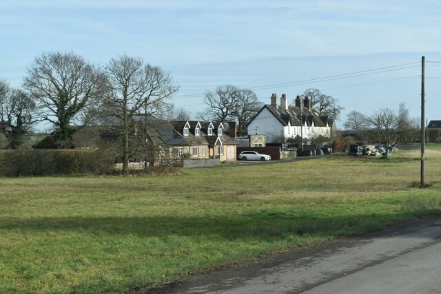
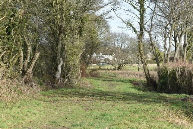
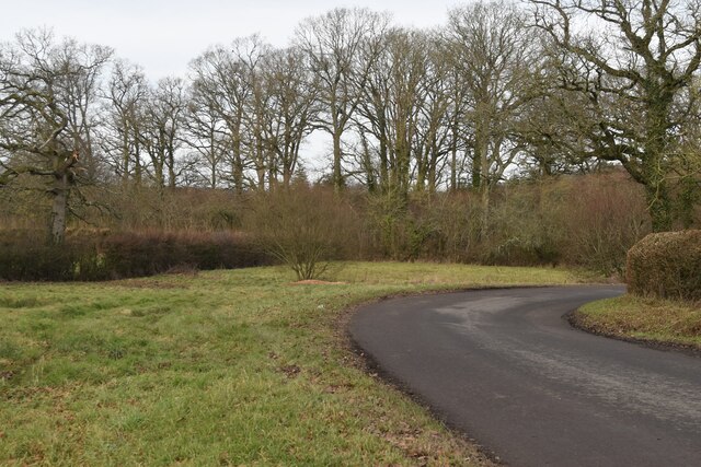
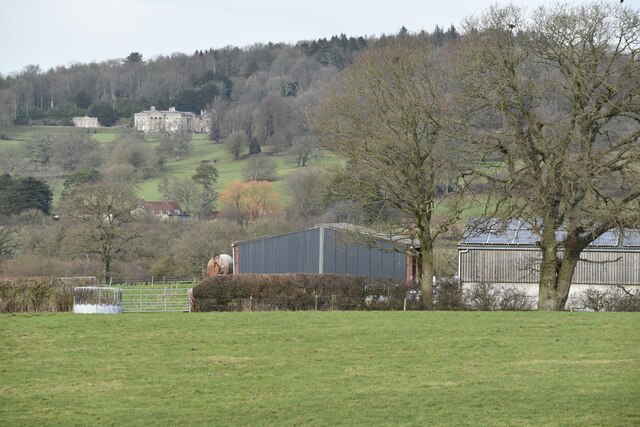
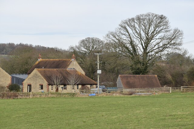
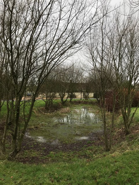
Gutch Common is located in the county of Wiltshire, in the southern region of England. It is a small area of open land situated between the villages of Shrewton and Tilshead. Covering approximately 20 hectares, Gutch Common is a designated Site of Special Scientific Interest (SSSI) due to its ecological significance.
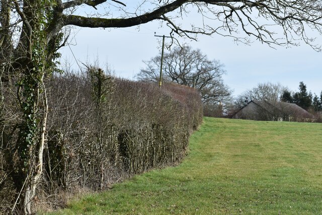
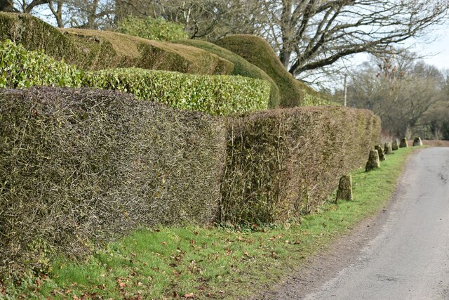
The landscape of Gutch Common is characterized by its mix of heathland and grassland habitats. It is home to a diverse range of flora and fauna, including several rare and protected species. The common is particularly known for its abundance of heather, gorse, and bilberry plants, which provide a rich food source for many insects and birds.
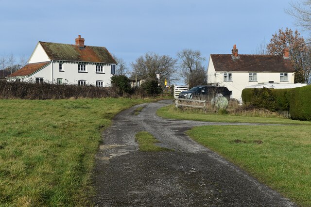
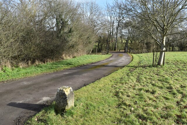
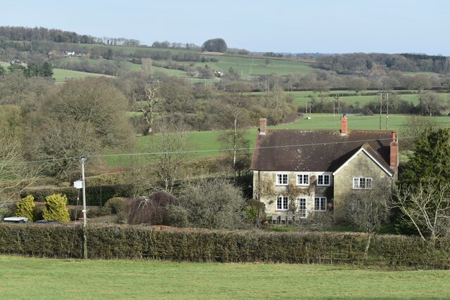
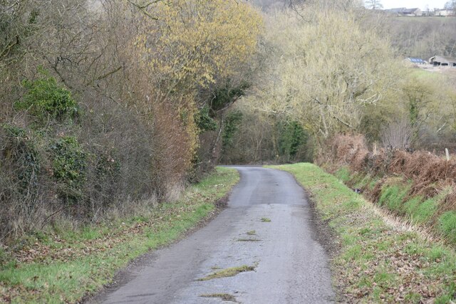
The local community values Gutch Common for its recreational opportunities. It offers peaceful walking trails, allowing visitors to explore and appreciate the natural beauty of the area. The common also provides a habitat for numerous bird species, making it a popular spot for birdwatching enthusiasts.
The management of Gutch Common is overseen by the local conservation authority, ensuring the preservation and protection of its unique biodiversity. Regular monitoring and conservation efforts take place to maintain the delicate balance of the ecosystem.
Overall, Gutch Common is a cherished natural treasure in Wiltshire, offering a chance to experience the beauty of untouched heathland and grassland habitats, while providing an important haven for wildlife.
If you have any feedback on the listing, please let us know in the comments section below.
Gutch Common Images
Images are sourced within 2km of 51.031223/-2.1507096 or Grid Reference ST8925. Thanks to Geograph Open Source API. All images are credited.


Gutch Common is located at Grid Ref: ST8925 (Lat: 51.031223, Lng: -2.1507096)
Unitary Authority: Wiltshire
Police Authority: Wiltshire
What 3 Words
///barrel.incurring.hatter. Near Shaftesbury, Dorset
Nearby Locations
Related Wikis

Gutch Common
Gutch Common (grid reference ST896259) is a 35.1 hectare biological Site of Special Scientific Interest in Wiltshire, notified in 1951. == Sources == Natural...

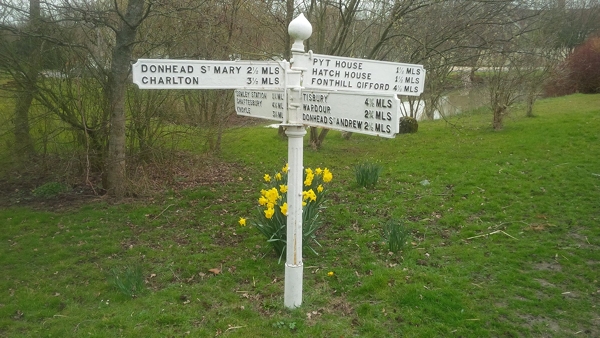
Semley
Semley is a village and former civil parish, now in the parish of Sedgehill and Semley, in Wiltshire, England, about 3 miles (4.8 km) north-east of Shaftesbury...
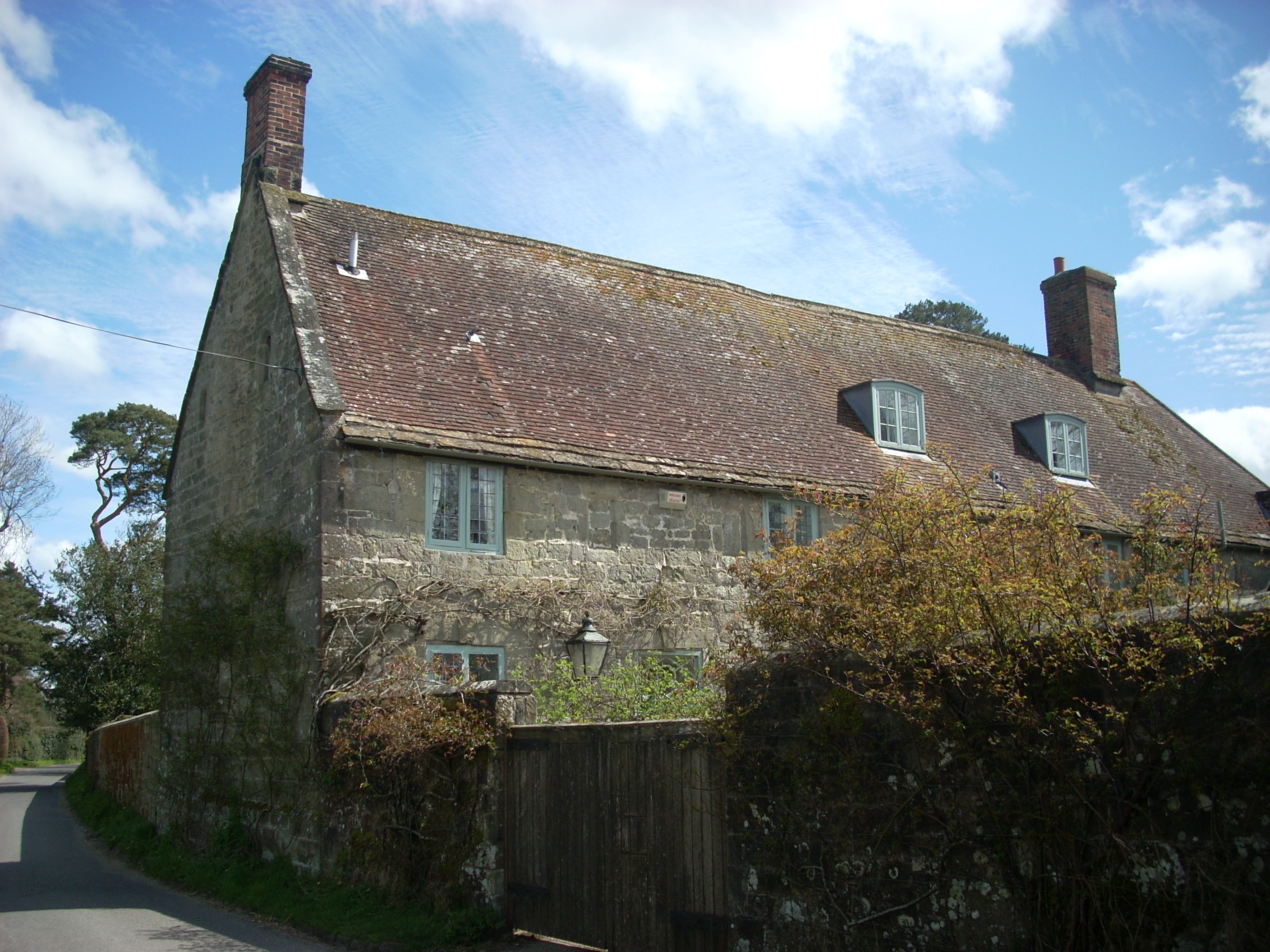
Shute House, Donhead St Mary
Shute House, Donhead St Mary, Wiltshire, England is a former rectory, now a private home, notable for its gardens designed by Geoffrey Jellicoe. About...

Donhead St Mary
Donhead St Mary is a village and civil parish in southwest Wiltshire, England, on the county border with Dorset. The village lies about 2+1⁄2 miles (4...

Donhead St Andrew
Donhead St Andrew is a village and civil parish in Wiltshire, England, on the River Nadder. It lies 4 miles (6.4 km) east of the Dorset market town of...

Semley railway station
Semley was a railway station in Wiltshire, England. It was served by trains on the West of England Main Line and was the railhead for the town of Shaftesbury...

Sedgehill and Semley
Sedgehill and Semley is a civil parish in the English county of Wiltshire, about 3 miles (4.8 km) north of the town of Shaftesbury on the main A350 road...

Higher Wincombe
Higher Wincombe is a farm and small hamlet in the parish of Donhead St Mary, Wiltshire, England. It lies at the head of the Nadder Valley, just beyond...
Nearby Amenities
Located within 500m of 51.031223,-2.1507096Have you been to Gutch Common?
Leave your review of Gutch Common below (or comments, questions and feedback).