Griggs
Settlement in Cornwall
England
Griggs
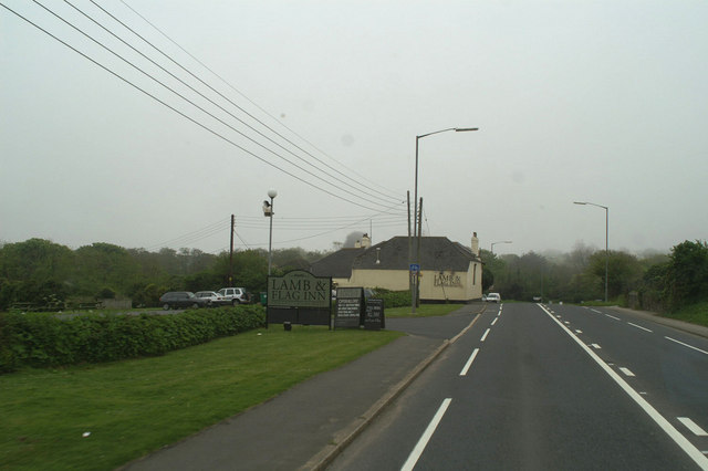
Griggs is a small village located in the county of Cornwall in southwest England. Situated near the town of Bodmin, Griggs is known for its picturesque countryside and charming rural setting. The village is surrounded by rolling hills, lush green fields, and winding country lanes, making it an ideal destination for those seeking a peaceful retreat away from the hustle and bustle of city life.
Griggs is home to a close-knit community of residents who take pride in maintaining the village's traditional character and preserving its historic buildings. Visitors to Griggs can explore the quaint streets lined with stone cottages, visit the local pub for a taste of traditional Cornish cuisine, or take a leisurely stroll through the nearby woodlands and meadows.
The village is also conveniently located near a number of popular tourist attractions, including the Bodmin Moor and the Camel Trail, making it a great base for exploring the surrounding area. Whether you're looking for a relaxing getaway or an outdoor adventure, Griggs offers a peaceful and idyllic setting for visitors to enjoy.
If you have any feedback on the listing, please let us know in the comments section below.
Griggs Images
Images are sourced within 2km of 50.176364/-5.4427415 or Grid Reference SW5436. Thanks to Geograph Open Source API. All images are credited.


Griggs is located at Grid Ref: SW5436 (Lat: 50.176364, Lng: -5.4427415)
Unitary Authority: Cornwall
Police Authority: Devon and Cornwall
What 3 Words
///admiringly.musically.query. Near Uny Lelant, Cornwall
Nearby Locations
Related Wikis

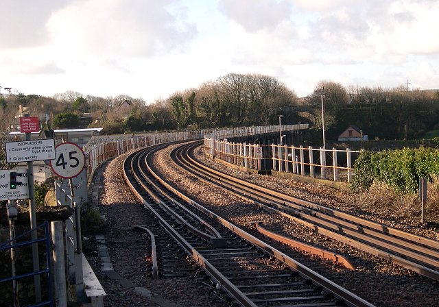
Lelant Saltings railway station
Lelant Saltings railway station (Cornish: Holanek Lannanta) was opened on 27 May 1978 to provide a park and ride facility for visitors to St Ives, Cornwall...
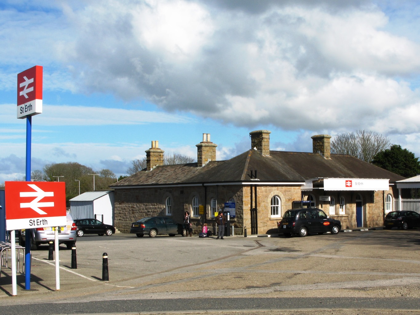
St Erth railway station
St Erth railway station (Cornish: Lannudhno) is a Grade II listed station situated at Rose-an-Grouse in Cornwall, United Kingdom. It serves the nearby...
Rose-an-Grouse
Rose-an-Grouse is a hamlet in the civil parish of St Erth in west Cornwall, England. It is on the A30 road, east of Canon's Town, and St Erth railway station...

Lelant
Lelant (Cornish: Lannanta) is a village in west Cornwall, England, UK. It is on the west side of the Hayle Estuary, about 2+1⁄2 miles (4.0 km) southeast...
Nearby Amenities
Located within 500m of 50.176364,-5.4427415Have you been to Griggs?
Leave your review of Griggs below (or comments, questions and feedback).