Marbhig
Settlement in Ross-shire
Scotland
Marbhig
The requested URL returned error: 429 Too Many Requests
If you have any feedback on the listing, please let us know in the comments section below.
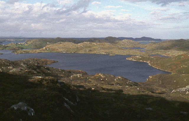
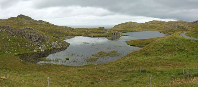
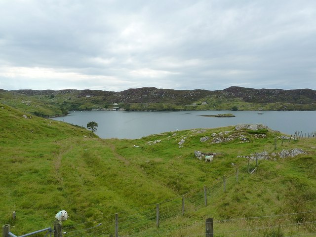
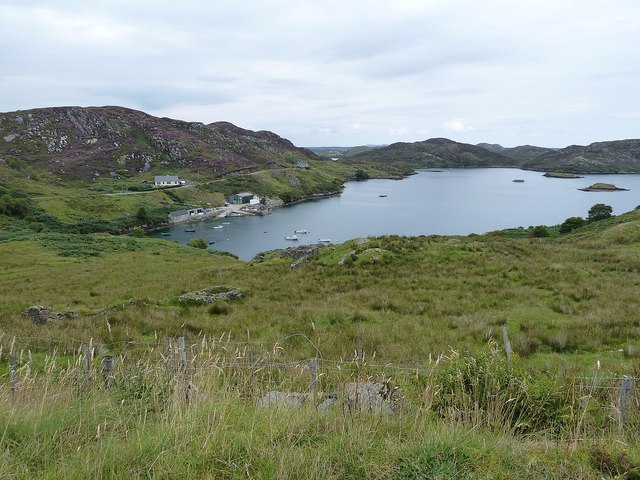
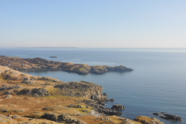
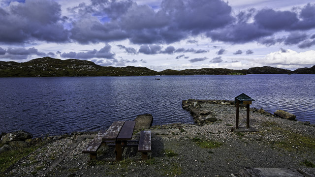
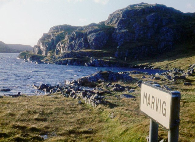
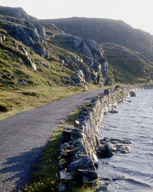
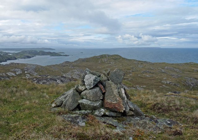
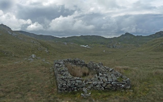
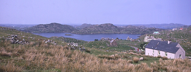
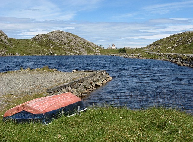
Marbhig Images
Images are sourced within 2km of 58.083697/-6.3886044 or Grid Reference NB4118. Thanks to Geograph Open Source API. All images are credited.

![Islet with purple flowers I thought at first that the purple flowers adding a dash of colour to this tiny islet in the middle of Loch a' Ghruagaich just south of Marvig (Marbhig) were rhododendrons - but on closer inspection I'm not so sure. They almost look like giant heather ... [Edit] Now confirmed - they are heather ... very healthy specimens !](https://s3.geograph.org.uk/geophotos/02/62/36/2623603_86f34e1f.jpg)


Marbhig is located at Grid Ref: NB4118 (Lat: 58.083697, Lng: -6.3886044)
Unitary Authority: Na h-Eileanan an Iar
Police Authority: Highlands and Islands
Also known as: Marvig
What 3 Words
///somewhere.orange.itself. Near Leurbost, Na h-Eileanan Siar
Nearby Locations
Related Wikis

Calbost
Calbost (Scottish Gaelic: Calabost) is a village on the Isle of Lewis in the Outer Hebrides, Scotland. Calbost is within the parish of Lochs, and within...

Cromore
Cromore (Scottish Gaelic: Crò Mòr) is a crofting township on the Isle of Lewis in the district of Pairc, in the Outer Hebrides, Scotland. The settlement...

Eilean Chaluim Chille
Eilean Chaluim Chille (Gaelic: island of Saint Columba, Calum Cille) is an unpopulated island in the Outer Hebrides. It lies off the east coast of Lewis...

Cabharstadh
Cabharstadh or Caversta (Scottish Gaelic: Cabharstaigh) is a village on the Isle of Lewis in the Outer Hebrides, Scotland. Caversta is situated in the...
Nearby Amenities
Located within 500m of 58.083697,-6.3886044Have you been to Marbhig?
Leave your review of Marbhig below (or comments, questions and feedback).