Green Lane

Settlement in Lancashire

England

Green Lane

Ewood Park, Blackburn The corner of the Blackburn End (left) and Jack Walker Stand (right) at Ewood Park, home of Blackburn Rovers Football Club.
Ewood Park, Blackburn Credit: Greum

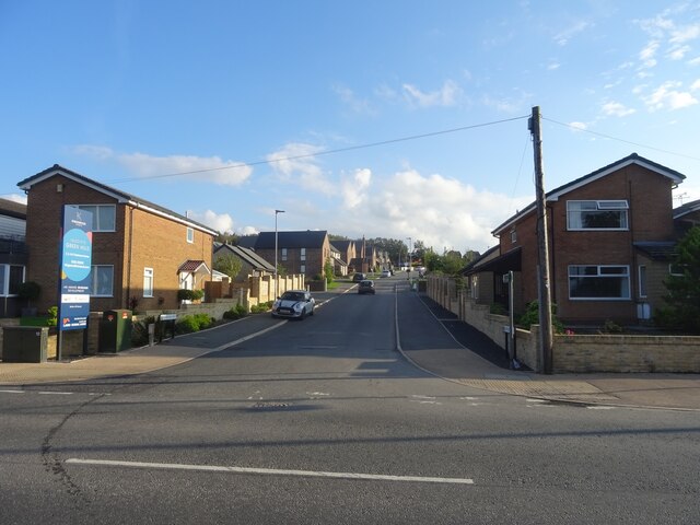
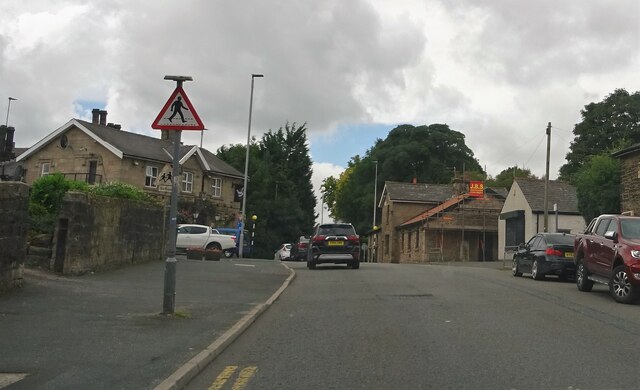
Green Lane is a small village located in the county of Lancashire, England. Situated approximately 3 miles west of the market town of Garstang, Green Lane is nestled amidst picturesque countryside, offering a tranquil and scenic setting for its residents.

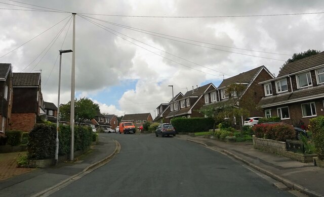
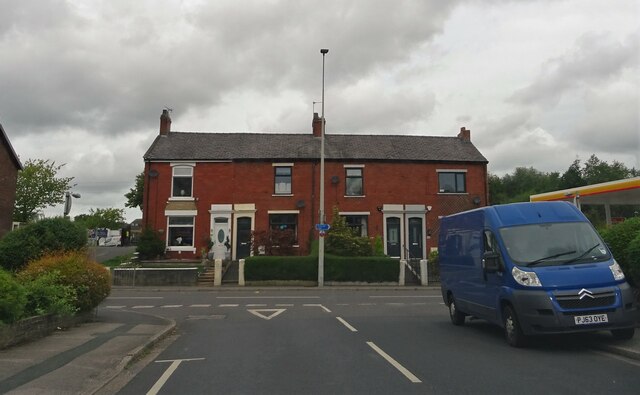
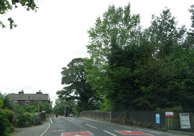
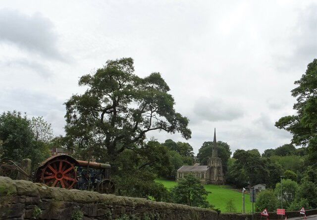
The village is known for its charming rural character, with a collection of traditional stone-built cottages and farmhouses dotting the landscape. The surrounding fields and farmland contribute to the village's agricultural heritage, and many residents are involved in farming or other rural industries.

Green Lane boasts a close-knit community, with a population of around 500 residents. The village is served by a primary school, providing education for the local children. Additionally, there is a village hall which serves as a hub for social activities and community events.

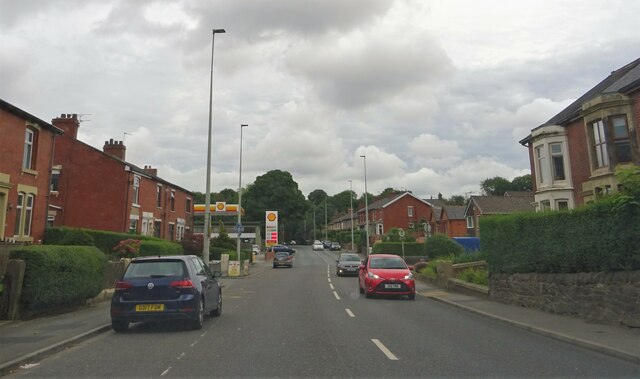
Despite its small size, Green Lane benefits from its proximity to Garstang, which offers a wider range of amenities including shops, restaurants, and leisure facilities. The village is well-connected to the surrounding areas, with good road links making it easily accessible.

Green Lane's idyllic countryside location also makes it a popular destination for outdoor enthusiasts. The village is surrounded by scenic walking and cycling routes, allowing residents and visitors to explore the beautiful Lancashire countryside on their doorstep.

Overall, Green Lane offers a peaceful and picturesque retreat, with its rural charm, strong community spirit, and access to the natural beauty of its surroundings making it an appealing place to live or visit.

If you have any feedback on the listing, please let us know in the comments section below.

Green Lane Images

Images are sourced within 2km of 53.728912/-2.5146015 or Grid Reference SD6625. Thanks to Geograph Open Source API. All images are credited.

Ewood Park, Blackburn The corner of the Blackburn End (left) and Jack Walker Stand (right) at Ewood Park, home of Blackburn Rovers Football Club.
Ewood Park, Blackburn
The corner of the Blackburn End (left) and Jack Walker Stand (right) at Ewood Park, home of Blackburn Rovers Football Club.
Jack Walker statue, Ewood Park
Blackburn Rovers Memorial Garden, Ewood Park
Footbridge over the River Darwen by Ewood Park
Moorland Drive, Green Hills, Livesey Looking up Moorland Drive, entrance to the recently-built Green Hills estate.
Moorland Drive, Green Hills, Livesey
Looking up Moorland Drive, entrance to the recently-built Green Hills estate.
Preston Old Road In Feniscowles.
Preston Old Road
In Feniscowles.
Park Farm Road In Feniscowles.
Park Farm Road
In Feniscowles.
Preston Old Road From Park Farm Road in Feniscowles.
Preston Old Road
From Park Farm Road in Feniscowles.
Preston Old Road In Feniscowles.
Preston Old Road
In Feniscowles.
Victoria Road, Pleasington At the bridge over the line at Pleasington railway station.
Victoria Road, Pleasington
At the bridge over the line at Pleasington railway station.
Church of Immanuel A C. of E. church at Feniscowles. The building is Grade II listed. The old tractor in the left foreground is currently being used as a garden ornament.
Church of Immanuel
A C. of E. church at Feniscowles. The building is Grade II listed. The old tractor in the left foreground is currently being used as a garden ornament.
Old Milestone, A674, Preston Old Road, Blackburn The milestone is located against the wall at the back of the pavement, outside Mambo’s Tanning Centre, no. 434, on the north west side of the road. Parish of Livesey (Blackburn with Darwen District). Carved stone post, erected by the Bolton & Blackburn turnpike trust (Livesey branch) in the 19th century. 

Inscription reads:-
9 MILES / TO PRESTON / 2 TO / BLACKBURN 

Milestone Society National ID: LA_PSBB09
Old Milestone, A674, Preston Old Road, Blackburn
The milestone is located against the wall at the back of the pavement, outside Mambo’s Tanning Centre, no. 434, on the north west side of the road. Parish of Livesey (Blackburn with Darwen District). Carved stone post, erected by the Bolton & Blackburn turnpike trust (Livesey branch) in the 19th century. Inscription reads:- 9 MILES / TO PRESTON / 2 TO / BLACKBURN Milestone Society National ID: LA_PSBB09
A sculpture and flower bed at Pleasington Crematorium
The graveyard in Pleasington cemetery
OS Flush Bracket Flush Bracket G3395: Feniscowles.
OS Flush Bracket
Flush Bracket G3395: Feniscowles.
Ducks on the Lily Pond The Lily Pond is a surviving feature of Witton House, a former mansion owned by the Feilden family. It lies south east of the Witton Visitor Centre.
Ducks on the Lily Pond
The Lily Pond is a surviving feature of Witton House, a former mansion owned by the Feilden family. It lies south east of the Witton Visitor Centre.
Footbridge in Big Cover Wood A footbridge crosses the stream, taking the path up the west side of Big Cover Wood in Witton.
Footbridge in Big Cover Wood
A footbridge crosses the stream, taking the path up the west side of Big Cover Wood in Witton.
Steps in Big Cover Wood A series of steps has been installed in Big Cover Woods in order to facilitate the ascent and descent of the hillier part of the path.
Steps in Big Cover Wood
A series of steps has been installed in Big Cover Woods in order to facilitate the ascent and descent of the hillier part of the path.
Show me another place!

Green Lane is located at Grid Ref: SD6625 (Lat: 53.728912, Lng: -2.5146015)

Unitary Authority: Blackburn with Darwen

Police Authority: Lancashire

What 3 Words

///manage.regime.camera. Near Blackburn, Lancashire

Related Wikis

St Bede's Roman Catholic High School, Blackburn

St Bede's RC High School is a coeducational Roman Catholic secondary school located in Blackburn in the English county of Lancashire.It is a voluntary...

Cherry Tree railway station

Cherry Tree railway station serves Cherry Tree in the Blackburn with Darwen borough of Lancashire, England. The station is 1.9 miles (3 km) southwest of...

Livesey

Livesey is a civil parish in the unitary borough of Blackburn with Darwen, in the ceremonial county of Lancashire, England. The population of the civil...

St Andrew's Church, Blackburn

St Andrew's Church is in Livesey Branch Road, Blackburn, Lancashire, England. It is a redundant Anglican church designed by the Lancaster architect E...

Nearby Amenities

Located within 500m of 53.728912,-2.5146015
Source: npe
Lat/Long: 53.7263328/-2.5206934
Source: npe
Lat/Long: 53.7267672/-2.514191
Mini Roundabout
Source: npe
Lat/Long: 53.7268005/-2.5136224
Traffic Signals
Lat/Long: 53.7325365/-2.517918
Traffic Signals
Lat/Long: 53.7322588/-2.5175516
Pub
The Wellington
Addr City: Blackburn
Addr Housenumber: 362
Addr Postcode: BB2 4QJ
Addr Street: Livesey Branch Road
Fhrs Id: 212532
Source Addr: FHRS Open Data
Lat/Long: 53.7278554/-2.5087081
Mini Roundabout
Lat/Long: 53.7318815/-2.5104116
Bus Stop
Naptan AtcoCode: 2580GRL0002
Naptan NaptanCode: blagjpt
Public Transport: platform
Lat/Long: 53.7296713/-2.5148061
Bus Stop
Public Transport: platform
Lat/Long: 53.7273554/-2.5136353
Bus Stop
Public Transport: platform
Lat/Long: 53.7267672/-2.5154087
Bus Stop
Public Transport: platform
Lat/Long: 53.731775/-2.5109206
Barrier: bollard
Lat/Long: 53.7305656/-2.5115942
Crossing
Crossing: marked
Lat/Long: 53.7298336/-2.5149727
Leisure: playground
Lat/Long: 53.7287421/-2.5102083
Direction: SE
Generator Method: photovoltaic
Generator Output Electricity: yes
Generator Source: solar
Generator Type: solar_photovoltaic_panel
Location: roof
Power: generator
Lat/Long: 53.7274109/-2.5084046
Direction: SE
Generator Method: photovoltaic
Generator Output Electricity: yes
Generator Source: solar
Generator Type: solar_photovoltaic_panel
Location: roof
Power: generator
Lat/Long: 53.7270396/-2.5085306
Crossing
Crossing: uncontrolled
Crossing Markings: zebra
Crossing Ref: zebra
Kerb: lowered
Tactile Paving: yes
Lat/Long: 53.7267818/-2.5139421
Access: customers
Entrance: main
Wheelchair: yes
Lat/Long: 53.7269601/-2.5183917
The data included in this document is from www.openstreetmap.org. The data is made available under ODbL.

Have you been to Green Lane?

Leave your review of Green Lane below (or comments, questions and feedback).