Green Hill

Settlement in Yorkshire

England

Green Hill

In a bamboo field south of Royd Moor Only sky above us.
In a bamboo field south of Royd Moor Credit: Neil Theasby

Green Hill is a charming village located in the picturesque county of Yorkshire, in the United Kingdom. Situated amidst rolling hills and surrounded by lush greenery, this idyllic village offers a peaceful retreat for both residents and visitors alike.

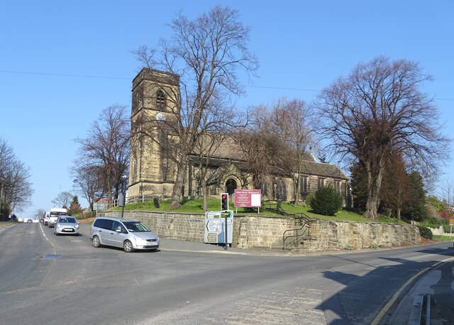
With a population of around 1,500 people, Green Hill maintains a close-knit community atmosphere. The village is characterized by its traditional stone cottages, narrow winding streets, and a quaint village green at its center. The historic St. Mary's Church, dating back to the 12th century, stands as a prominent landmark and adds to the village's charm.

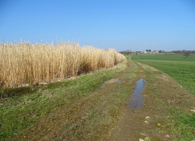
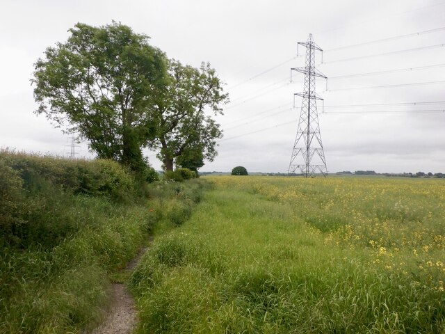
Green Hill boasts an abundance of natural beauty and outdoor recreational opportunities. The nearby Yorkshire Dales National Park offers stunning hiking trails, scenic cycling routes, and breathtaking views. The village is also home to several well-maintained parks and gardens, perfect for leisurely walks or picnics.

In terms of amenities, Green Hill offers a range of essential services to its residents. The village has a local primary school, a post office, a small grocery store, and a few quaint shops and cafes. For more extensive shopping and entertainment options, the larger town of York is conveniently located just a short drive away.

Throughout the year, Green Hill hosts various community events and festivals that bring residents together and foster a strong sense of community spirit. The annual Green Hill Village Fair, featuring live music, local food stalls, and traditional games, is a highlight for both locals and visitors.

Overall, Green Hill, Yorkshire, is a picturesque village that offers a tranquil and close-knit community, surrounded by stunning natural landscapes, making it an ideal place to live or visit for those seeking a slower pace of life.

If you have any feedback on the listing, please let us know in the comments section below.
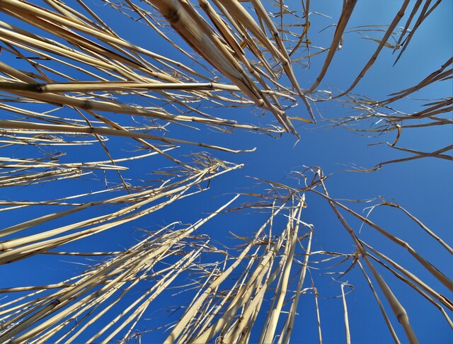
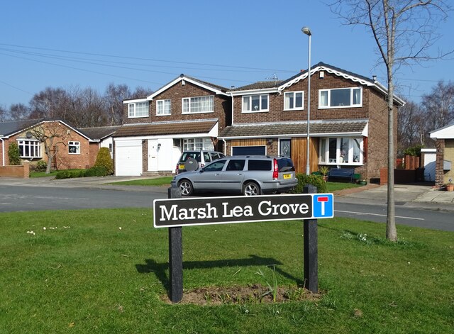
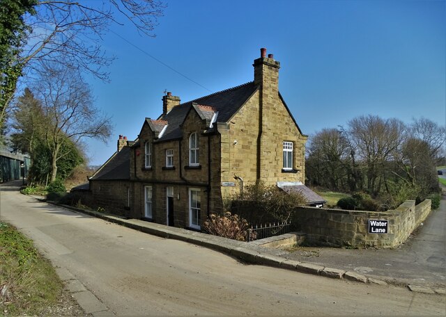
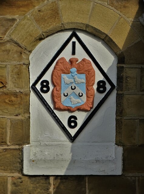
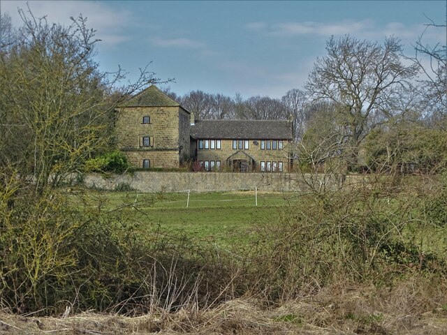
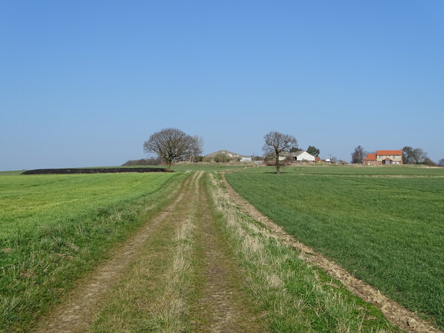
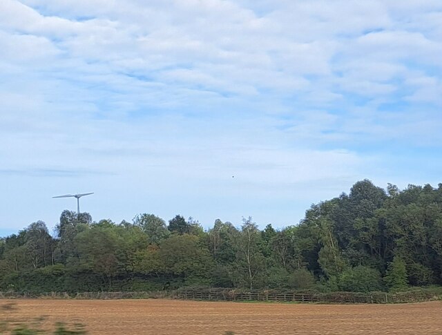
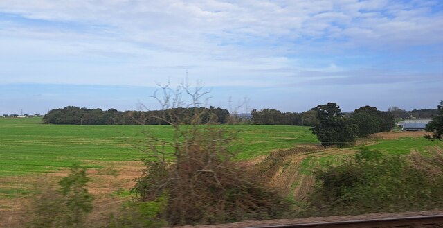
Green Hill Images

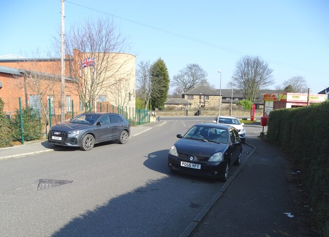
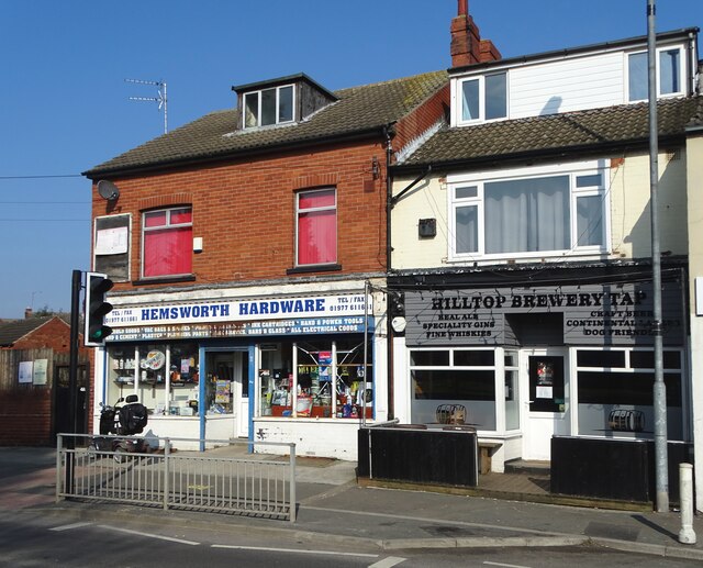
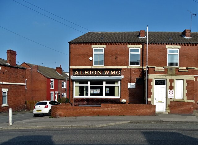
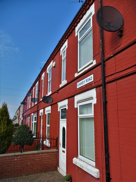
Images are sourced within 2km of 53.612401/-1.3539981 or Grid Reference SE4213. Thanks to Geograph Open Source API. All images are credited.

In a bamboo field south of Royd Moor Only sky above us.
In a bamboo field south of Royd Moor
Only sky above us.
Bamboo grove with Royd Moor Farm ahead
Marsh Lea Grove, Hemsworth
St Helen's Church, Hemsworth The church was largely rebuilt by John Loughborough Pearson between 1865 and 1867, retaining some medieval fabric. It is built in sandstone, the roof of the nave is tiled, and elsewhere are stone slate roofs. The church consists of a nave, north and south aisles, a south porch, a chancel with a south chapel and a north vestry, and a west tower. The tower has four stages, it contains a three-light west window, and has a plain parapet. The east window is large, with five lights, Decorated tracery, and a hood mould. (Wikipedia)
St Helen's Church, Hemsworth
The church was largely rebuilt by John Loughborough Pearson between 1865 and 1867, retaining some medieval fabric. It is built in sandstone, the roof of the nave is tiled, and elsewhere are stone slate roofs. The church consists of a nave, north and south aisles, a south porch, a chancel with a south chapel and a north vestry, and a west tower. The tower has four stages, it contains a three-light west window, and has a plain parapet. The east window is large, with five lights, Decorated tracery, and a hood mould. (Wikipedia)
On Bullenshaw Road, Hemsworth Looking to Kirkby Road with Hemsworth Community Centre on the left.
On Bullenshaw Road, Hemsworth
Looking to Kirkby Road with Hemsworth Community Centre on the left.
Hemsworth Hardware Store on Kirkby Road
Albion Workingmen's Club, Hemsworth On Kirkby Road
Albion Workingmen's Club, Hemsworth
On Kirkby Road
Terraced houses on Kirkby Road, Hemsworth
Hague Hall Lodge on Water Lane Between Hemsworth and South Kirkby
Hague Hall Lodge on Water Lane
Between Hemsworth and South Kirkby
Date stone and coat of arms In what looks like an old window recess - on the western facade of Hague Hall Lodge. A little internet research did not lead me to an explanation of this artefact.
Date stone and coat of arms
In what looks like an old window recess - on the western facade of Hague Hall Lodge. A little internet research did not lead me to an explanation of this artefact.
View  to Hague Hall Farm
View to Hague Hall Farm
On the track to Royd Moor Farm
Old milepost The town of Hemsworth is now by-passed but this is one of 2 mileposts from the Barnsley to Pontefract tollroad (1825-1870) on the original route.  It is on Station Road near Lowfield Road.   Grade II Listed 1226647.
Old milepost
The town of Hemsworth is now by-passed but this is one of 2 mileposts from the Barnsley to Pontefract tollroad (1825-1870) on the original route. It is on Station Road near Lowfield Road. Grade II Listed 1226647.
Market Street, Hemsworth Looking south-eastward.
Market Street, Hemsworth
Looking south-eastward.
Station Road, Hemsworth Looking eastward.
Station Road, Hemsworth
Looking eastward.
Oilseed rape and path, Hemsworth
Low Field, from the railway The fenced-off area projecting forward from the trees into the field marks where Lowfield Road turns to tunnel under the A628 Hemsworth Bypass, which runs along the line of trees.
Low Field, from the railway
The fenced-off area projecting forward from the trees into the field marks where Lowfield Road turns to tunnel under the A628 Hemsworth Bypass, which runs along the line of trees.
Kinsley Common, from the railway On the extreme right, about to flash out of the picture, are some of the buildings of Hemsworth Turkey Farms on Hoyle Mill Road.
Kinsley Common, from the railway
On the extreme right, about to flash out of the picture, are some of the buildings of Hemsworth Turkey Farms on Hoyle Mill Road.
Show me another place!

Green Hill is located at Grid Ref: SE4213 (Lat: 53.612401, Lng: -1.3539981)

Division: West Riding

Unitary Authority: Wakefield

Police Authority: West Yorkshire

What 3 Words

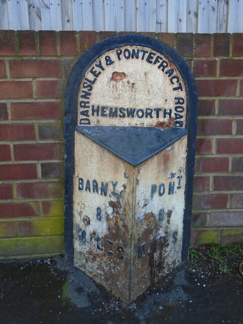
///hangs.lectured.informal. Near Hemsworth, West Yorkshire

Related Wikis

Hemsworth Rural District

Hemsworth was, from 1894 to 1974, a rural district in the West Riding of Yorkshire, England. == Creation == The district was formed by the Local Government...

Hemsworth (UK Parliament constituency)

Hemsworth is a constituency in West Yorkshire represented in the House of Commons since 1996 by Jon Trickett of the Labour Party.Further to the completion...

Outwood Academy Hemsworth

Outwood Academy Hemsworth, known previously as Hemsworth Arts and Community Academy and Hemsworth Arts and Community College, is a mixed secondary school...

Hemsworth

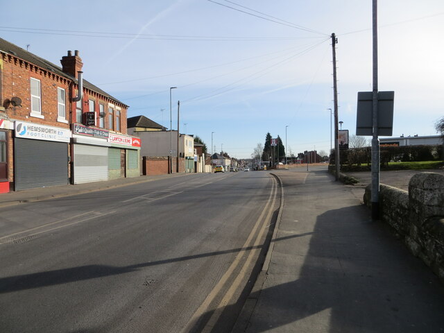
Hemsworth is a town and civil parish in the City of Wakefield, West Yorkshire, England. Historically within the West Riding of Yorkshire and had a population...

Nearby Amenities

Located within 500m of 53.612401,-1.3539981
Hemsworth
Place: town
Population: 15,311
Wikidata: Q2556975
Wikipedia: en:Hemsworth
Lat/Long: 53.6131631/-1.36018
Pub
West End Club
Addr City: Pontefract
Addr Postcode: WF9 4QZ
Addr Street: Barnsley Road
Addr Suburb: Hemsworth
Addr Town: Pontefract
Fhrs Id: 314064
Lat/Long: 53.6131285/-1.3610236
Crossing
Crossing: traffic_signals
Crossing Ref: pelican
Lat/Long: 53.6131281/-1.3595384
Pub
The Crosshills Tavern
Lat/Long: 53.6138375/-1.3538479
Pub
The Kings Head
Addr City: Pontefract
Addr Housenumber: 7
Addr Postcode: WF9 4LD
Addr Street: Cross Hill
Fhrs Id: 745818
Lat/Long: 53.6133629/-1.3536559
Turning Circle
Lat/Long: 53.608617/-1.3548842
Bus Stop
Kirkby Road Grove Lane
Bus: yes
Local Ref: 45017098
Naptan AtcoCode: 450017098
Naptan Bearing: NW
Naptan CommonName: Kirkby Road Grove Lane
Naptan Crossing: Grove Lane
Naptan Indicator: Stop 45017098
Naptan Landmark: Market
Naptan PlusbusZoneRef: LEEDS
Naptan ShortCommonName: Grove Lane
Naptan Street: Kirkby Road
Naptan Verified: no
Public Transport: platform
Source: naptan_import
Lat/Long: 53.6098685/-1.3508236
Bus Stop
Kirkby Road Grove Lane
Bus: yes
Local Ref: 45017099
Naptan AtcoCode: 450017099
Naptan Bearing: SE
Naptan CommonName: Kirkby Road Grove Lane
Naptan Crossing: Grove Lane
Naptan Indicator: Stop 45017099
Naptan Landmark: Market
Naptan PlusbusZoneRef: LEEDS
Naptan ShortCommonName: Grove Lane
Naptan Street: Kirkby Road
Naptan Verified: no
Public Transport: platform
Source: naptan_import
Lat/Long: 53.6101709/-1.3510892
Bus Stop
Meadow Rise Hollins Mount
Local Ref: 45017811
Naptan AtcoCode: 450017811
Naptan Bearing: S
Naptan CommonName: Meadow Rise Hollins Mount
Naptan Indicator: Stop 45017811
Naptan Notes: Stop moved opp no longer BD 27/01/09
Naptan ShortCommonName: Meadow Rise
Naptan Street: Meadow Rise
Naptan Verified: no
Source: naptan_import
Lat/Long: 53.6122903/-1.3590832
Bus Stop
Barnsley Road Town Street
Local Ref: 45017812
Naptan AtcoCode: 450017812
Naptan Bearing: NE
Naptan CommonName: Barnsley Road Town Street
Naptan Crossing: Adj Town Street
Naptan Indicator: Stop 45017812
Naptan Notes: 3P case awaiting installation see Alan Guest
Naptan PlusbusZoneRef: LEEDS
Naptan ShortCommonName: Close Street
Naptan Street: Barnsley Road
Naptan Verified: no
Source: naptan_import
Lat/Long: 53.6129747/-1.3609925
Bus Stop
Barnsley Road Town Street
Local Ref: 45017813
Naptan AtcoCode: 450017813
Naptan Bearing: SW
Naptan CommonName: Barnsley Road Town Street
Naptan Crossing: Top Street
Naptan Indicator: Stop 45017813
Naptan Landmark: Motorist Centre
Naptan Notes: 3P tt case removed 040906 awaiting replacement
Naptan PlusbusZoneRef: LEEDS
Naptan ShortCommonName: Town Street
Naptan Street: Barnsley Road
Naptan Verified: no
Source: naptan_import
Lat/Long: 53.6126624/-1.3614205
Bus Stop
Wakefield Road Centre Street
Local Ref: 45017896
Naptan AtcoCode: 450017896
Naptan Bearing: SE
Naptan CommonName: Wakefield Road Centre Street
Naptan Crossing: Centre Street
Naptan Indicator: Stop 45017896
Naptan PlusbusZoneRef: LEEDS
Naptan ShortCommonName: Centre Street
Naptan Street: Wakefield Road
Naptan Verified: no
Source: naptan_import
Lat/Long: 53.6166535/-1.3547389
Bus Stop
Station Road Lowfield Road
Bus: yes
Local Ref: 45017897
Naptan AtcoCode: 450017897
Naptan Bearing: E
Naptan CommonName: Station Road Lowfield Road
Naptan Crossing: Lowfield Road
Naptan Indicator: Stop 45017897
Naptan Landmark: Hemsworth High School
Naptan PlusbusZoneRef: LEEDS
Naptan ShortCommonName: Butcher Hill
Naptan Street: Station Road
Naptan Verified: no
Public Transport: platform
Source: naptan_import
Lat/Long: 53.6140358/-1.3493973
Bus Stop
Stand A Hemsworth Bus Station
Bench: yes
Bin: no
Bus: yes
Naptan AtcoCode: 450028709
Naptan Bearing: NW
Naptan CommonName: Stand A Hemsworth Bus Station
Naptan Landmark: Unknown
Naptan PlusbusZoneRef: LEEDS
Naptan ShortCommonName: Hemsworth BS A
Naptan Street: Hemsworth Bus Station Stand A
Naptan Verified: no
Public Transport: platform
Shelter: no
Source: naptan_import
Lat/Long: 53.613006/-1.3528631
Bus Stop
Stand B Hemsworth Bus Station
Bench: yes
Bin: yes
Bus: yes
Naptan AtcoCode: 450028710
Naptan Bearing: SW
Naptan CommonName: Stand B Hemsworth Bus Station
Naptan Landmark: Unknown
Naptan PlusbusZoneRef: LEEDS
Naptan ShortCommonName: Hemsworth BS B
Naptan Street: Hemsworth Bus Station Stand B
Naptan Verified: no
Public Transport: platform
Shelter: no
Source: naptan_import
Lat/Long: 53.6130044/-1.3528041
Bus Stop
Stand C Hemsworth Bus Station
Bench: yes
Bin: no
Naptan AtcoCode: 450028711
Naptan Bearing: SW
Naptan CommonName: Stand C Hemsworth Bus Station
Naptan Landmark: Unknown
Naptan PlusbusZoneRef: LEEDS
Naptan ShortCommonName: Hemsworth BS C
Naptan Street: Hemsworth Bus Station Stand C
Naptan Verified: no
Shelter: no
Source: naptan_import
Lat/Long: 53.6130012/-1.3527371
Bus Stop
Stand D Hemsworth Bus Station
Bench: yes
Bin: yes
Bus: yes
Naptan AtcoCode: 450028712
Naptan Bearing: SW
Naptan CommonName: Stand D Hemsworth Bus Station
Naptan Landmark: Unknown
Naptan PlusbusZoneRef: LEEDS
Naptan ShortCommonName: Hemsworth BS D
Naptan Street: Hemsworth Bus Station Stand D
Naptan Verified: no
Public Transport: platform
Shelter: no
Source: naptan_import
Lat/Long: 53.6130013/-1.3526511
Bus Stop
Stand E Hemsworth Bus Station
Bench: yes
Bin: no
Bus: yes
Naptan AtcoCode: 450028713
Naptan Bearing: SW
Naptan CommonName: Stand E Hemsworth Bus Station
Naptan Landmark: Unknown
Naptan PlusbusZoneRef: LEEDS
Naptan ShortCommonName: Hemsworth BS E
Naptan Street: Hemsworth Bus Station Stand E
Naptan Verified: no
Public Transport: platform
Shelter: no
Source: naptan_import
Lat/Long: 53.6130012/-1.3525815
Bus Stop
Southmoor Road
Bus: yes
Naptan AtcoCode: 450028793
Naptan Bearing: N
Naptan BusStopType: CUS
Naptan CommonName: Southmoor Road
Naptan Crossing: Grove Road
Naptan Landmark: Unknown
Naptan Notes: Dummy Stop for school services 611 and W8
Naptan ShortCommonName: Southmoor Road
Naptan Street: Southmoor Road
Naptan Verified: no
Public Transport: platform
Source: naptan_import
Lat/Long: 53.6098057/-1.3516994
Bus Stop
Southmoor Road Grove Road
Bus: yes
Naptan AtcoCode: 450028794
Naptan Bearing: S
Naptan CommonName: Southmoor Road Grove Road
Naptan Crossing: Grove Road
Naptan Landmark: Unknown
Naptan Notes: Dummy Stop for school services 611 and W8
Naptan ShortCommonName: Southmoor Road
Naptan Street: Southmoor Road
Naptan Verified: no
Public Transport: platform
Source: naptan_import
Lat/Long: 53.6098304/-1.3514529
Noexit: yes
Lat/Long: 53.6092573/-1.35085
Noexit: yes
Lat/Long: 53.6142244/-1.3593826
Noexit: yes
Lat/Long: 53.61443/-1.3584396
Turning Circle
Westcroft Road
Lat/Long: 53.6148282/-1.3579233
Crossing
Crossing: marked
Lat/Long: 53.6121192/-1.3508161
Childcare
Butterfly's Day Nursery
Lat/Long: 53.6137566/-1.3538681
Post Box
Operator: Royal Mail
Post Box Type: lamp
Ref: WF9 115
Lat/Long: 53.6108851/-1.3530122
Post Box
Operator: Royal Mail
Post Box Type: wall
Ref: WF9 114
Lat/Long: 53.6129768/-1.354356
Post Box
Operator: Royal Mail
Post Box Type: wall
Ref: WF9 111
Lat/Long: 53.6130675/-1.3594522
Post Box
Operator: Royal Mail
Post Box Type: wall
Ref: WF9 117
Lat/Long: 53.6161519/-1.3546135
Crossing
Crossing: traffic_signals
Crossing Ref: pelican
Lat/Long: 53.6130572/-1.3538925
Traffic Signals
Traffic Signals: signal
Traffic Signals Direction: forward
Lat/Long: 53.6130828/-1.3538093
Traffic Signals
Traffic Signals: signal
Traffic Signals Direction: forward
Lat/Long: 53.6119622/-1.3532518
Hemsworth War Memorial
Historic: memorial
Inscription: To the memory of those who gave their lives in the service of their country
Memorial: war_memorial
Lat/Long: 53.6111084/-1.3527336
Traffic Signals
Traffic Signals: signal
Traffic Signals Direction: forward
Lat/Long: 53.6131253/-1.3539632
Traffic Signals
Traffic Signals: signal
Lat/Long: 53.613398/-1.3541316
Traffic Signals
Traffic Signals: signal
Lat/Long: 53.6134504/-1.3538392
Traffic Signals
Traffic Signals: signal
Lat/Long: 53.6136813/-1.3535948
Traffic Signals
Traffic Signals: signal
Lat/Long: 53.6138826/-1.3530889
Traffic Signals
Traffic Signals: signal
Lat/Long: 53.6138774/-1.3535571
Power: substation
Lat/Long: 53.6089659/-1.3520744
Telephone
Booth: K6
Covered: booth
Man Made: telephone_box
Lat/Long: 53.6096133/-1.3505151
Crossing
Crossing: traffic_signals
Crossing Ref: pelican
Lat/Long: 53.6131889/-1.3538349
Pharmacy
Cohens Chemist
Healthcare: pharmacy
Lat/Long: 53.6118936/-1.3544189
Pharmacy
Lloyds Pharmacy
Brand: Lloyds Pharmacy
Brand Wikidata: Q6662870
Brand Wikipedia: en:LloydsPharmacy
Healthcare: pharmacy
Lat/Long: 53.6122516/-1.3540242
Rosebuds Flowers
Addr City: Pontefract
Addr Postcode: WF9 4JY
Addr Street: Market Street
Addr Suburb: Hemsworth
Addr Unit: 1
Email: rosebudsflowers@hotmail.com
Phone: +44 1977 611701
Shop: florist
Website: http://rosebudsflowers.co.uk/
Lat/Long: 53.6119659/-1.3537025
Crossing
Crossing: traffic_signals
Crossing Ref: pelican
Lat/Long: 53.6093736/-1.3500014
Premier
Addr City: Pontefract
Addr Housenumber: 51-55
Addr Postcode: WF9 4QZ
Addr Street: Barnsley Road
Addr Suburb: Hemsworth
Addr Town: Pontefract
Brand: Premier
Brand Wikidata: Q7240340
Brand Wikipedia: en:Premier Stores
Fhrs Id: 1035754
Shop: convenience
Website: https://www.premier-stores.co.uk/our-stores/singhs-0
Lat/Long: 53.6130146/-1.3600972
Sheltons Bakery
Addr City: Pontefract
Addr Housenumber: 1
Addr Postcode: WF9 4PY
Addr Street: Barnsley Road
Addr Suburb: Hemsworth
Addr Town: Pontefract
Fhrs Id: 283784
Shop: bakery
Lat/Long: 53.6133519/-1.3548964
Restaurant
The Welcome Chinese Restaurant
Addr City: Pontefract
Addr Housenumber: 21
Addr Postcode: WF9 4PY
Addr Street: Barnsley Road
Addr Suburb: Hemsworth
Addr Town: Pontefract
Cuisine: chinese
Fhrs Id: 957074
Lat/Long: 53.6133416/-1.3556689
Fast Food
Bitz And Pizza
Addr City: Pontefract
Addr Housenumber: 10
Addr Postcode: WF9 4PY
Addr Street: Barnsley Road
Addr Suburb: Hemsworth
Addr Town: Pontefract
Cuisine: pizza
Fhrs Id: 283387
Takeaway: yes
Lat/Long: 53.61355/-1.355972
Pub
The Blue Bell
Addr City: Pontefract
Addr County: West Yorkshire
Addr Housenumber: 8
Addr Postcode: WF9 4LQ
Addr Street: Cross Hill
Brand: Wetherspoon
Brand Wikidata: Q6109362
Brand Wikipedia: en:Wetherspoons
Brewery: various
Contact Phone: +44 1977 624930
Diet Vegan: Yes
Diet Vegetarian: Yes
Fhrs Authority: Wakefield
Fhrs Confidence Management: 0
Fhrs Hygiene: 0
Fhrs Id: 729931
Fhrs Local Authority Id: PI/000188264
Fhrs Rating: 5
Fhrs Rating Date: 2019-04-04T00:00:00
Fhrs Structural: 0
Food: yes
Internet Access: wlan
Internet Access Fee: no
Note: Has TV screens
Outdoor Seating: yes
Payment Debit Cards: Yes
Payment Mastercard: Yes
Payment Visa: Yes
Real Ale: yes
Source: website;=https://www.jdwetherspoon.com/pubs/all-pubs/england/west-yorkshire/the-blue-bell-pontefract
Toilets: yes
Toilets Access: customers
Toilets Wheelchair: Yes
Website: https://www.jdwetherspoon.com/pubs/all-pubs/england/west-yorkshire/the-blue-bell-pontefract
Website Menu: https://www.jdwetherspoon.com/food
Wheelchair: yes
Lat/Long: 53.6135922/-1.3542178
Fast Food
Wise Men Grills
Addr City: Pontefract
Addr Housenumber: 12
Addr Postcode: WF9 4LQ
Addr Street: Cross Hill
Addr Suburb: Hemsworth
Addr Town: Pontefract
Cuisine: burger;chicken;pizza
Fhrs Id: 905168
Takeaway: yes
Website: http://www.wisemengrills.co.uk/
Lat/Long: 53.6135086/-1.3545907
Pub
George And Dragon
Addr City: Pontefract
Addr Housenumber: 1
Addr Postcode: WF9 4LQ
Addr Street: Cross Hill
Addr Suburb: Hemsworth
Addr Town: Pontefract
Fhrs Id: 914805
Operator: Stonegate
Operator Wikidata: Q7619176
Website: https://www.craftunionpubs.com/george-and-dragon-hemsworth
Lat/Long: 53.6136288/-1.3533622
Cafe
Precinct Cafe
Addr City: Pontefract
Addr Housenumber: 2
Addr Postcode: WF9 4JX
Addr Street: Bank Street
Addr Suburb: Hemsworth
Addr Town: Pontefract
Fhrs Id: 283393
Lat/Long: 53.6128085/-1.3543023
Restaurant
Akash Lounge
Addr City: Pontefract
Addr Housename: Becca House
Addr Postcode: WF9 4JY
Addr Street: Market Street
Addr Suburb: Hemsworth
Addr Town: Pontefract
Addr Unit: 2
Cuisine: indian
Fhrs Id: 1083485
Lat/Long: 53.6122365/-1.3535111
Fast Food
Domino's
Addr City: Pontefract
Addr Housename: Becca House
Addr Postcode: WF9 4JY
Addr Street: Market Street
Addr Suburb: Hemsworth
Addr Town: Pontefract
Addr Unit: 1
Brand: Domino's
Brand Wikidata: Q839466
Brand Wikipedia: en:Domino's Pizza
Contact Website: https://www.dominos.co.uk/pizza-near-me/hemsworth/unit-1-becca-house
Cuisine: pizza
Fhrs Id: 801641
Takeaway: yes
Lat/Long: 53.6121832/-1.3534454
Fast Food
The Lucky Dragon
Addr City: Pontefract
Addr Housenumber: 25
Addr Postcode: WF9 4JY
Addr Street: Market Street
Addr Suburb: Hemsworth
Addr Town: Pontefract
Cuisine: chinese
Fhrs Id: 283603
Takeaway: yes
Lat/Long: 53.6121155/-1.3533153
Cafe
Eleanor's Tea Rooms
Addr City: Pontefract
Addr Housenumber: 2
Addr Postcode: WF9 4DP
Addr Street: Highfield Road
Addr Suburb: Hemsworth
Addr Town: Pontefract
Lat/Long: 53.6120829/-1.3540301
Pub
Hemsworth Conservative Club
Addr City: Pontefract
Addr Postcode: WF9 4LR
Addr Street: Market Street
Addr Suburb: Hemsworth
Addr Town: Pontefract
Fhrs Id: 314027
Lat/Long: 53.6105028/-1.3514954
Lawton And Sons Butchers
Addr City: Pontefract
Addr Housenumber: 45
Addr Postcode: WF9 4LR
Addr Street: Market Street
Addr Suburb: Hemsworth
Addr Town: Pontefract
Fhrs Id: 314156
Shop: butcher
Lat/Long: 53.6107129/-1.3518307
Fast Food
Hems Curry
Addr City: Pontefract
Addr Housenumber: 51
Addr Postcode: WF9 4AS
Addr Street: Kirkby Road
Addr Suburb: Hemsworth
Addr Town: Pontefract
Cuisine: burger;chicken;indian;kebab
Fhrs Id: 1293552
Old Name: Mo's Hot Chilli
Takeaway: yes
Lat/Long: 53.6091574/-1.3494354
Fast Food
The Trawler
Addr City: Pontefract
Addr Housenumber: 47-49
Addr Postcode: WF9 4BA
Addr Street: Kirkby Road
Addr Suburb: Hemsworth
Addr Town: Pontefract
Cuisine: fish_and_chips
Fhrs Id: 283546
Takeaway: yes
Lat/Long: 53.6092735/-1.3496044
Pub
Alpha Working Mens Club
Addr City: Pontefract
Addr Postcode: WF9 4LT
Addr Street: Southmoor Road
Addr Suburb: Hemsworth
Addr Town: Pontefract
Fhrs Id: 284689
Lat/Long: 53.6093937/-1.3517422
Fast Food
Snack In A Box
Addr City: Pontefract
Addr Housenumber: 57
Addr Postcode: WF9 4QZ
Addr Street: Barnsley Road
Addr Suburb: Hemsworth
Addr Town: Pontefract
Cuisine: sandwich
Fhrs Id: 1037632
Takeaway: yes
Lat/Long: 53.6129796/-1.3602152
Fast Food
Pizza Jim
Addr City: Pontefract
Addr Housename: Low Hall Shopping Centre
Addr Postcode: WF9 4HL
Addr Street: Market Street
Addr Suburb: Hemsworth
Addr Town: Pontefract
Addr Unit: 3
Cuisine: pizza
Fhrs Id: 859555
Takeaway: yes
Lat/Long: 53.61181/-1.3534829
Fast Food
Linda's Quality Fish and Chips
Addr City: Pontefract
Addr Housenumber: 43
Addr Postcode: WF9 4LR
Addr Street: Market Street
Addr Suburb: Hemsworth
Addr Town: Pontefract
Cuisine: fish_and_chips
Fhrs Id: 1222429
Old Name: Hemsworth Golden Cod
Takeaway: yes
Lat/Long: 53.6107558/-1.3518883
Kindergarten
Little Gruffalos
Addr City: Pontefract
Addr Housename: Salvation Army Church & Community Centre
Addr Postcode: WF9 4AZ
Addr Street: Bush Street
Addr Suburb: Hemsworth
Addr Town: Pontefract
Fhrs Id: 801639
Lat/Long: 53.6097024/-1.3481587
Lifestyle Express
Addr City: Pontefract
Addr Housenumber: 57-59
Addr Postcode: WF9 4AS
Addr Street: Kirkby Road
Addr Suburb: Hemsworth
Addr Town: Pontefract
Brand: Lifestyle Express
Brand Wikidata: Q61994869
Fhrs Id: 1053198
Shop: convenience
Lat/Long: 53.6090746/-1.349304
Servest
Addr City: Pontefract
Addr Housename: Tesco
Addr Postcode: WF9 4JY
Addr Street: Market Street
Addr Suburb: Hemsworth
Craft: caterer
Lat/Long: 53.613001/-1.351769
Cafe
The Family Cafe
Addr City: Pontefract
Addr Housename: Tesco
Addr Postcode: WF9 4JY
Addr Street: Market Street
Addr Suburb: Hemsworth
Fhrs Id: 739421
Lat/Long: 53.613001/-1.3520318
Cafe
Breakfast Club
Addr City: Pontefract
Addr Housename: Sacred Heart Catholic Primary School
Addr Postcode: WF9 4LJ
Addr Street: Highfield Road
Addr Suburb: Hemsworth
Addr Town: Pontefract
Fhrs Id: 1018771
Lat/Long: 53.6104956/-1.3547227
Rayan Mini Market
Addr City: Pontefract
Addr Housename: Low Hall Shopping Centre
Addr Postcode: WF9 4HL
Addr Street: Market Street
Addr Suburb: Hemsworth
Addr Town: Pontefract
Addr Unit: 2
Fhrs Id: 1106494
Shop: convenience
Lat/Long: 53.6118721/-1.3535661
Hilltop Brewery Tap
Addr City: Pontefract
Addr Housenumber: 41b
Addr Postcode: WF9 4BA
Addr Street: Kirkby Road
Addr Suburb: Hemsworth
Addr Town: Pontefract
Craft: brewery
Fhrs Id: 1155842
Lat/Long: 53.6094056/-1.3497566
Fast Food
May Flower
Addr City: Pontefract
Addr Housenumber: 3a
Addr Postcode: WF9 4LD
Addr Street: Cross Hill
Addr Suburb: Hemsworth
Addr Town: Pontefract
Cuisine: chinese
Fhrs Id: 1208210
Takeaway: yes
Lat/Long: 53.6135524/-1.3534722
Barrier: bollard
Bicycle: yes
Foot: yes
Motor Vehicle: no
Lat/Long: 53.6141569/-1.3561136
Crossing
Lat/Long: 53.6126678/-1.3529158
Traffic Signals
Traffic Signals: signal
Traffic Signals Direction: forward
Lat/Long: 53.6126982/-1.3529268
Crossing
Lat/Long: 53.6119905/-1.353388
Crossing
Crossing: marked
Lat/Long: 53.6124763/-1.3507541
Crossing
Crossing: marked
Lat/Long: 53.6127363/-1.3508774
Crossing
Crossing: marked
Lat/Long: 53.6127365/-1.3511227
Crossing
Crossing: marked
Lat/Long: 53.6126442/-1.3512912
Crossing
Crossing: marked
Tactile Paving: yes
Lat/Long: 53.6126584/-1.3521382
Crossing
Lat/Long: 53.6119164/-1.3532856
Traffic Signals
Traffic Signals: signal
Traffic Signals Direction: forward
Lat/Long: 53.611991/-1.3533387
Traffic Signals
Traffic Signals: signal
Traffic Signals Direction: forward
Lat/Long: 53.6119131/-1.3533796
Power: substation
Lat/Long: 53.6113833/-1.3525768
Traffic Signals
Traffic Signals: signal
Traffic Signals Direction: forward
Lat/Long: 53.6125379/-1.3540383
Generator Method: photovoltaic
Generator Output Electricity: yes
Generator Source: solar
Generator Type: solar_photovoltaic_panel
Location: roof
Power: generator
Lat/Long: 53.611779/-1.3612586
Generator Method: photovoltaic
Generator Output Electricity: yes
Generator Source: solar
Generator Type: solar_photovoltaic_panel
Location: roof
Power: generator
Lat/Long: 53.6119684/-1.3606444
Generator Method: photovoltaic
Generator Output Electricity: yes
Generator Source: solar
Generator Type: solar_photovoltaic_panel
Location: roof
Power: generator
Lat/Long: 53.6093873/-1.3586435
Generator Method: photovoltaic
Generator Output Electricity: yes
Generator Source: solar
Generator Type: solar_photovoltaic_panel
Location: roof
Power: generator
Lat/Long: 53.6094382/-1.3585389
Generator Method: photovoltaic
Generator Output Electricity: yes
Generator Source: solar
Generator Type: solar_photovoltaic_panel
Location: roof
Power: generator
Lat/Long: 53.6100763/-1.3572943
Generator Method: photovoltaic
Generator Output Electricity: yes
Generator Source: solar
Generator Type: solar_photovoltaic_panel
Location: roof
Power: generator
Lat/Long: 53.6101018/-1.3572246
Generator Method: photovoltaic
Generator Output Electricity: yes
Generator Source: solar
Generator Type: solar_photovoltaic_panel
Location: roof
Power: generator
Lat/Long: 53.6099809/-1.3572514
Generator Method: photovoltaic
Generator Output Electricity: yes
Generator Source: solar
Generator Type: solar_photovoltaic_panel
Location: roof
Power: generator
Lat/Long: 53.6099904/-1.3571817
Generator Method: photovoltaic
Generator Output Electricity: yes
Generator Source: solar
Generator Type: solar_photovoltaic_panel
Location: roof
Power: generator
Lat/Long: 53.6100732/-1.3569483
Generator Method: photovoltaic
Generator Output Electricity: yes
Generator Source: solar
Generator Type: solar_photovoltaic_panel
Location: roof
Power: generator
Lat/Long: 53.6101098/-1.3568571
Generator Method: photovoltaic
Generator Output Electricity: yes
Generator Source: solar
Generator Type: solar_photovoltaic_panel
Location: roof
Power: generator
Lat/Long: 53.6103103/-1.3568759
Generator Method: photovoltaic
Generator Output Electricity: yes
Generator Source: solar
Generator Type: solar_photovoltaic_panel
Location: roof
Power: generator
Lat/Long: 53.6103548/-1.3569242
Generator Method: photovoltaic
Generator Output Electricity: yes
Generator Source: solar
Generator Type: solar_photovoltaic_panel
Location: roof
Power: generator
Lat/Long: 53.6116246/-1.3570181
Generator Method: photovoltaic
Generator Output Electricity: yes
Generator Source: solar
Generator Type: solar_photovoltaic_panel
Location: roof
Power: generator
Lat/Long: 53.6131633/-1.3571066
Generator Method: photovoltaic
Generator Output Electricity: yes
Generator Source: solar
Generator Type: solar_photovoltaic_panel
Location: roof
Power: generator
Lat/Long: 53.6144108/-1.3567284
Generator Method: photovoltaic
Generator Output Electricity: yes
Generator Source: solar
Generator Type: solar_photovoltaic_panel
Location: roof
Power: generator
Lat/Long: 53.6146192/-1.3570234
Crossing
Lat/Long: 53.6131545/-1.3539575
Generator Method: photovoltaic
Generator Output Electricity: yes
Generator Source: solar
Generator Type: solar_photovoltaic_panel
Location: roof
Power: generator
Lat/Long: 53.6097597/-1.3549581
Generator Method: photovoltaic
Generator Output Electricity: yes
Generator Source: solar
Generator Type: solar_photovoltaic_panel
Location: roof
Power: generator
Lat/Long: 53.609766/-1.3548696
Generator Method: photovoltaic
Generator Output Electricity: yes
Generator Source: solar
Generator Type: solar_photovoltaic_panel
Location: roof
Power: generator
Lat/Long: 53.6106763/-1.350216
Generator Method: photovoltaic
Generator Output Electricity: yes
Generator Source: solar
Generator Type: solar_photovoltaic_panel
Location: roof
Power: generator
Lat/Long: 53.6110454/-1.3474721
Generator Method: photovoltaic
Generator Output Electricity: yes
Generator Source: solar
Generator Type: solar_photovoltaic_panel
Location: roof
Power: generator
Lat/Long: 53.6109738/-1.3471341
Generator Method: photovoltaic
Generator Output Electricity: yes
Generator Source: solar
Generator Type: solar_photovoltaic_panel
Location: roof
Power: generator
Lat/Long: 53.6110216/-1.3471395
Generator Method: photovoltaic
Generator Output Electricity: yes
Generator Source: solar
Generator Type: solar_photovoltaic_panel
Location: roof
Power: generator
Lat/Long: 53.6081922/-1.3557708
Generator Method: photovoltaic
Generator Output Electricity: yes
Generator Source: solar
Generator Type: solar_photovoltaic_panel
Location: roof
Power: generator
Lat/Long: 53.6083561/-1.3540891
Traffic Signals
Traffic Signals: crossing
Traffic Signals Direction: forward
Lat/Long: 53.6131292/-1.3595862
Traffic Signals
Traffic Signals: crossing
Traffic Signals Direction: backward
Lat/Long: 53.6131282/-1.3595007
The data included in this document is from www.openstreetmap.org. The data is made available under ODbL.

Have you been to Green Hill?

Leave your review of Green Hill below (or comments, questions and feedback).