Mappowder
Settlement in Dorset
England
Mappowder

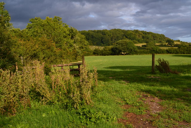
Mappowder is a charming village located in the county of Dorset, England. Situated in the Blackmore Vale, it lies approximately 8 miles northeast of the town of Sherborne. Mappowder is a small, rural community that embodies the quintessential English countryside with its picturesque landscapes and traditional architecture.
The village is known for its tranquil and idyllic setting, surrounded by rolling hills, meadows, and farmlands. It offers residents and visitors a peaceful retreat away from the hustle and bustle of city life. The local economy mainly relies on agriculture, with farming being a significant occupation for many residents.
Mappowder features a collection of well-preserved historic buildings, including charming thatched cottages and a beautiful medieval church, St. Peter's. This church is a focal point of the village and showcases stunning architectural details dating back centuries.
The village has a close-knit community, with various social events and activities organized throughout the year. The Mappowder Village Hall serves as a hub for these gatherings, hosting events such as fairs, markets, and community meetings. The hall also provides facilities for sports and recreational activities.
For those seeking outdoor adventures, Mappowder is surrounded by an abundance of natural beauty. The nearby Dorset Downs and Cranborne Chase Areas of Outstanding Natural Beauty offer opportunities for hiking, cycling, and exploring the stunning countryside.
In summary, Mappowder is a delightful village that captures the essence of rural Dorset. Its serene surroundings, historic charm, and strong sense of community make it an appealing destination for both residents and visitors.
If you have any feedback on the listing, please let us know in the comments section below.
Mappowder Images
Images are sourced within 2km of 50.85383/-2.3748785 or Grid Reference ST7306. Thanks to Geograph Open Source API. All images are credited.


Mappowder is located at Grid Ref: ST7306 (Lat: 50.85383, Lng: -2.3748785)
Unitary Authority: Dorset
Police Authority: Dorset
What 3 Words
///branching.basket.addicted. Near Sturminster Newton, Dorset
Related Wikis

Mappowder
Mappowder is a village and civil parish in the county of Dorset in southern England. The parish lies approximately 9 miles (14 kilometres) southeast of...
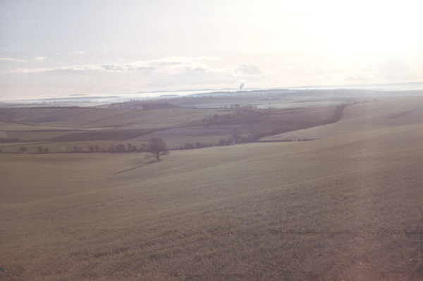
Dorset Downs
The Dorset Downs are an area of chalk downland in the centre of the county Dorset in south west England. The downs are the most western part of a larger...

Stoke Wake
Stoke Wake is a hamlet and civil parish, formerly part of the Whiteway hundred in north Dorset, England. It is situated under Bulbarrow Hill on the edge...

Hazelbury Bryan
Hazelbury Bryan is a village and civil parish in the county of Dorset in southern England. It is situated in the Blackmore Vale, approximately five miles...

Bulbarrow Hill
Bulbarrow Hill is a 274 metres (899 ft) hill near Woolland, five miles west of Blandford Forum and ten miles (16 km) north of Dorchester in Dorset, England...

Ball Hill, Dorset
At 251 metres, Ball Hill is one of the highest hills in the county of Dorset, England, and is on the Wessex Ridgeway. == Location == The summit of Ball...

Lyscombe Hill
Lyscombe Hill (262 metres, 860 feet high) is a hill near Melcombe Bingham about 14 kilometres north-northeast of Dorchester in the county of Dorset, England...

Bookham Knoll
Bookham Knoll is a rounded hill, 211 metres (692 ft) high, about 1 kilometre southeast of the village of Buckland Newton in the county of Dorset in southern...
Nearby Amenities
Located within 500m of 50.85383,-2.3748785Have you been to Mappowder?
Leave your review of Mappowder below (or comments, questions and feedback).