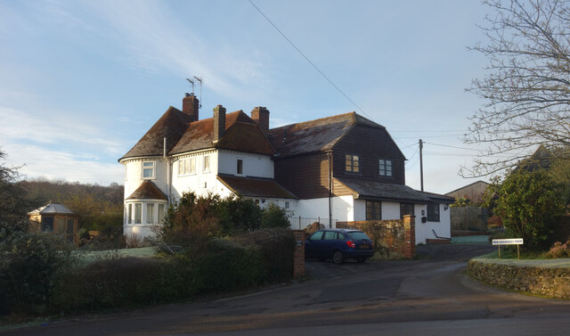
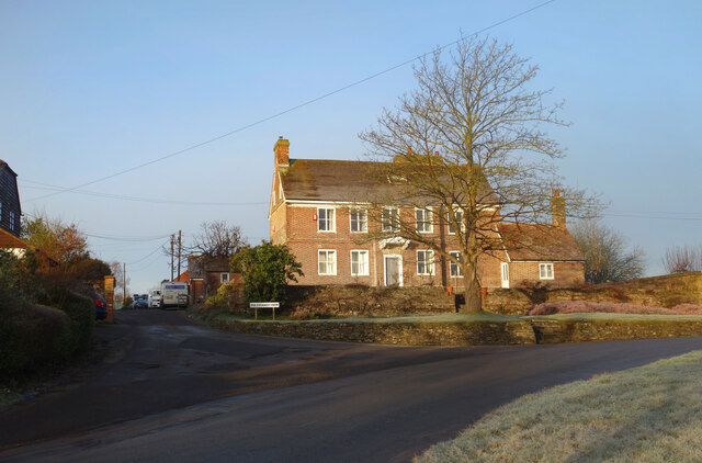
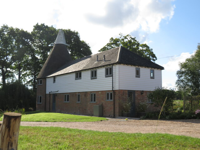
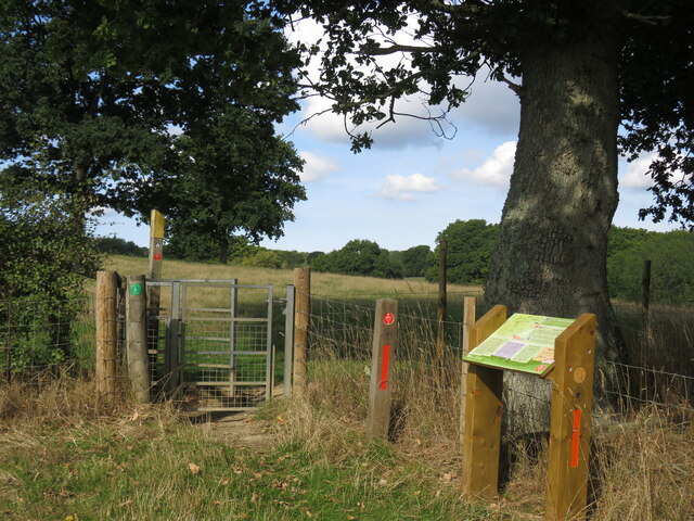
Great Maxfield
Settlement in Sussex Rother
England
Great Maxfield
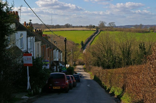
Great Maxfield is a quaint village located in the county of Sussex, England. Situated amidst picturesque rolling hills and lush green landscapes, this charming village offers a peaceful and idyllic setting for residents and visitors alike. With a population of approximately 500 people, it maintains a close-knit community atmosphere.
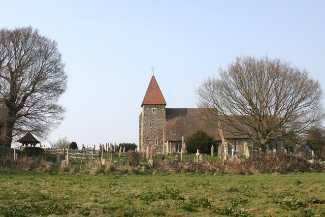
The village is renowned for its rich history, dating back to the medieval period. One of the notable landmarks is the St. Mary's Church, an architectural gem built in the 13th century. Its stunning stained glass windows and intricate stonework are a testament to the craftsmanship of the time.
Great Maxfield is also known for its thriving agricultural industry. The fertile soil and favorable climate make it an ideal location for farming, with fields of crops and grazing livestock dotting the surrounding countryside. The annual Harvest Festival celebrates the village's agricultural heritage, attracting visitors from far and wide.
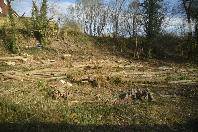
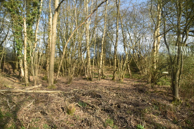
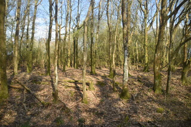
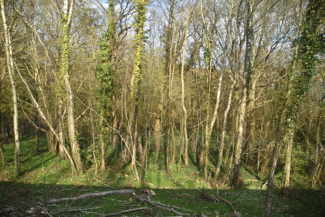
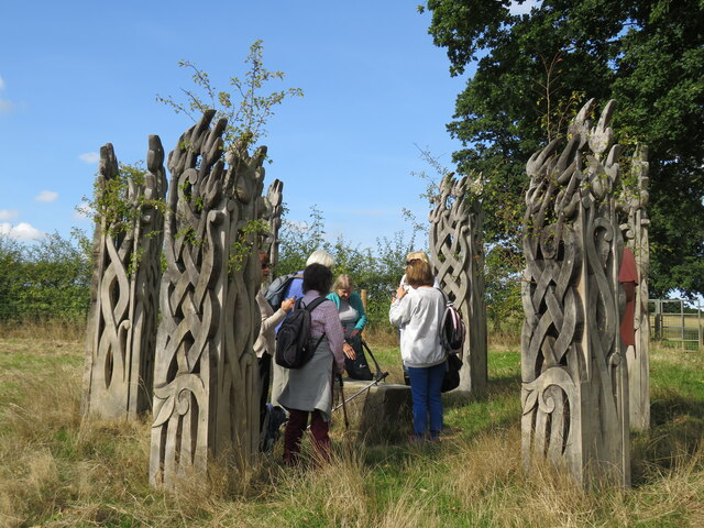
For nature enthusiasts, Great Maxfield offers ample opportunities for exploration. The nearby Maxfield Woods is a popular destination for hikers and nature lovers, boasting ancient trees, diverse wildlife, and picturesque walking trails. The village is also in close proximity to the South Downs National Park, offering breathtaking views and outdoor activities such as cycling and horseback riding.
In terms of amenities, Great Maxfield boasts a cozy village pub, The Rose and Crown, where locals and visitors can enjoy a pint of ale and traditional English fare. Additionally, there is a village hall that hosts various community events and gatherings throughout the year.
Overall, Great Maxfield is a charming village with a rich history, stunning natural beauty, and a warm community spirit that continues to captivate all who visit.
If you have any feedback on the listing, please let us know in the comments section below.
Great Maxfield Images
Images are sourced within 2km of 50.907225/0.60643703 or Grid Reference TQ8315. Thanks to Geograph Open Source API. All images are credited.

Great Maxfield is located at Grid Ref: TQ8315 (Lat: 50.907225, Lng: 0.60643703)
Administrative County: East Sussex
District: Rother
Police Authority: Sussex
What 3 Words
///pets.living.snap. Near Fairlight, East Sussex
Nearby Locations
Related Wikis

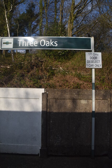
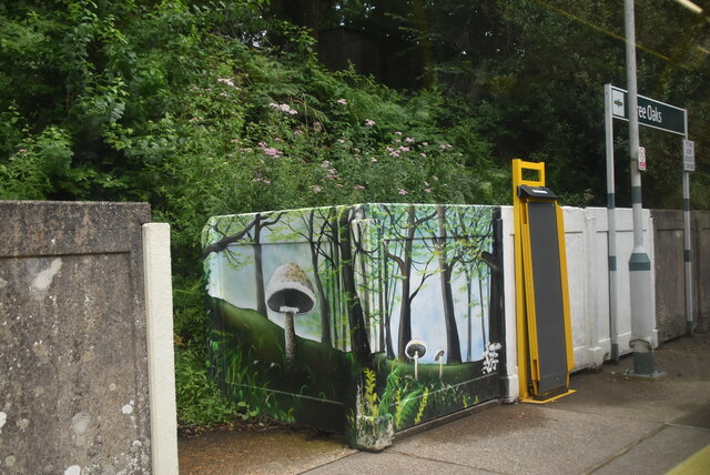
Three Oaks railway station
Three Oaks railway station serves the village of Three Oaks in East Sussex, England. It is on the Marshlink Line, and train services are provided by Southern...

Doleham railway station
Doleham railway station is a small, single-platform wayside halt in Doleham, East Sussex, England. It is on the Marshlink line, and train services are...
Doleham
Doleham is a small hamlet in East Sussex, England. The hamlet consists of only a handful of houses, and takes its name from Doleham Farm. The area is popular...

Buckswood School
Buckswood School is a private school for boys and girls that was founded in 1933. Originally the school was situated in Uckfield and known as Buckswood...

Westfield, East Sussex
Westfield is a village and civil parish in the Rother district of East Sussex. It is one of the largest villages in the area with a population of around...

St Laurence's Church, Guestling
The Parish Church of St Laurence is a Church of England church and listed building in the village of Guestling in the Rother District of East Sussex. The...
Guestling
Guestling is a village and civil parish in the Rother district of East Sussex, England. The village is located 3 miles (4.8 km) north-east of Hastings...
Hastings Academy
The Hastings Academy, formerly known as Hillcrest, is a secondary school in Hastings, East Sussex, England. The Hastings Academy opened on 1 September...
Nearby Amenities
Located within 500m of 50.907225,0.60643703Have you been to Great Maxfield?
Leave your review of Great Maxfield below (or comments, questions and feedback).