Great Knowley
Settlement in Lancashire Chorley
England
Great Knowley
Great Knowley is a small village located in the county of Lancashire, England. Situated in the borough of Chorley, it is nestled within the picturesque countryside and is surrounded by rolling hills and lush green fields. The village is part of the larger civil parish of Heapey, which also includes the neighboring village of White Coppice.
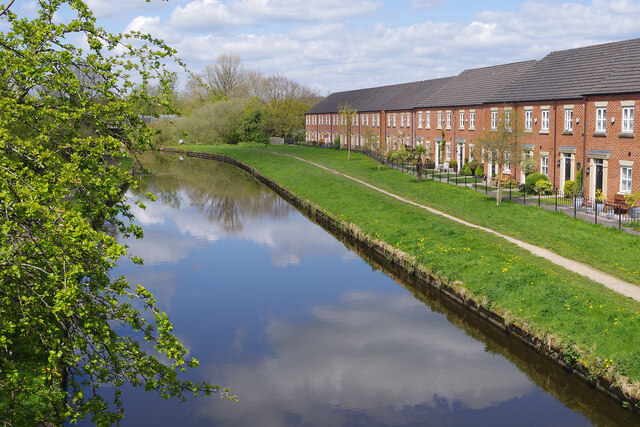
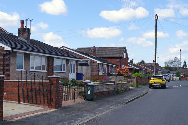
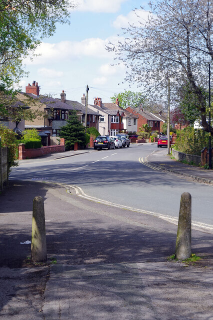
With its tranquil and idyllic setting, Great Knowley offers a peaceful retreat for its residents. The village is primarily residential, consisting of a mix of traditional stone-built cottages and more modern houses. The tight-knit community fosters a friendly and welcoming atmosphere, making it an attractive place to live.
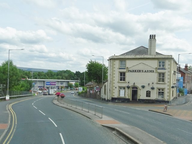
Despite its small size, Great Knowley benefits from its proximity to nearby amenities. The larger town of Chorley is just a short drive away, offering a wider range of shops, restaurants, and leisure facilities. Additionally, the village is well-connected to major transportation routes, making it convenient for commuters traveling to neighboring towns and cities.
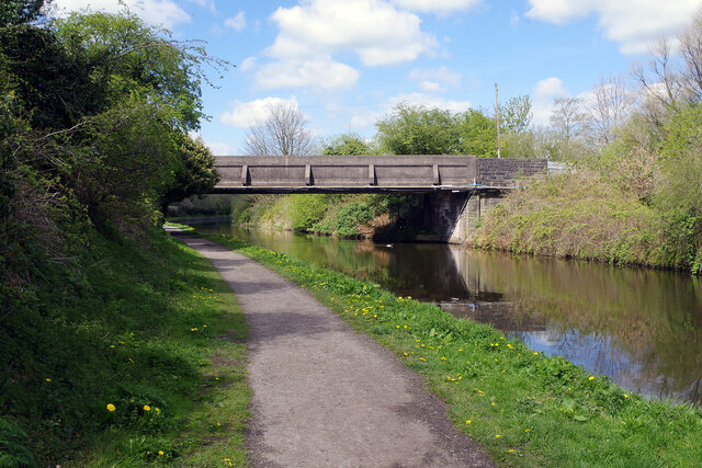
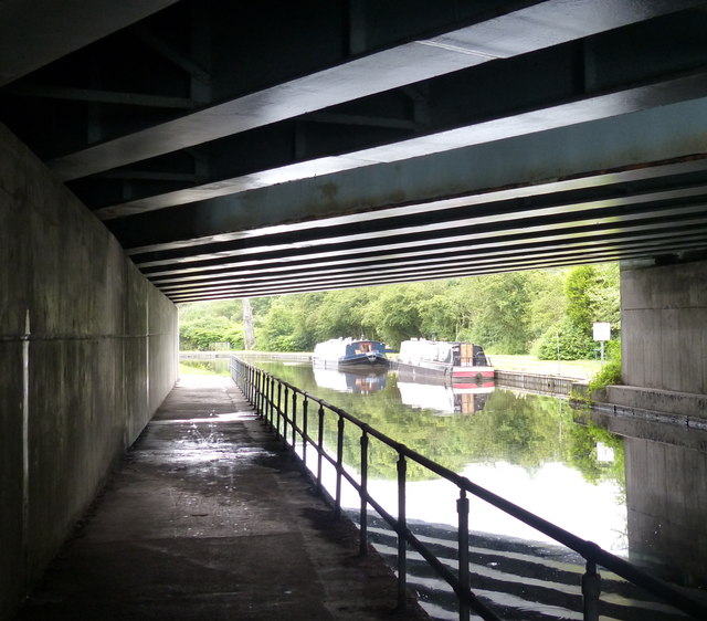
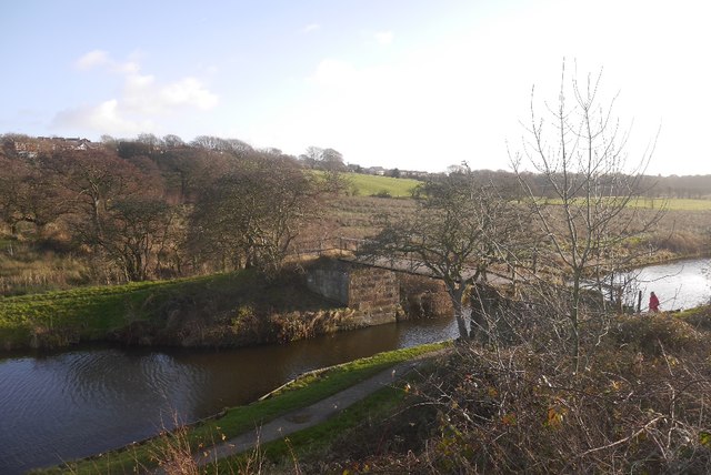
For nature enthusiasts, Great Knowley provides ample opportunities to explore the surrounding countryside. The nearby moors and woodlands offer picturesque walking trails, perfect for enjoying the outdoors and admiring the scenic views. The village is also close to the Leeds and Liverpool Canal, providing further recreational activities such as boating and fishing.
In summary, Great Knowley is a charming and peaceful village in Lancashire, boasting a close-knit community and picturesque surroundings. Its convenient location and access to amenities make it an appealing place to call home for those seeking a quieter rural lifestyle.
If you have any feedback on the listing, please let us know in the comments section below.
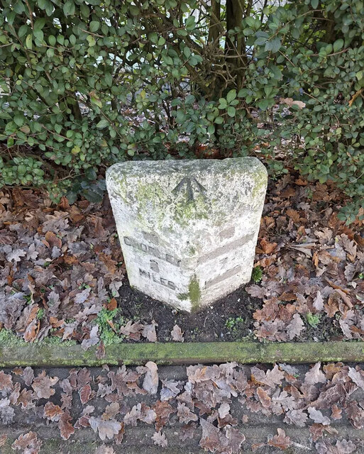
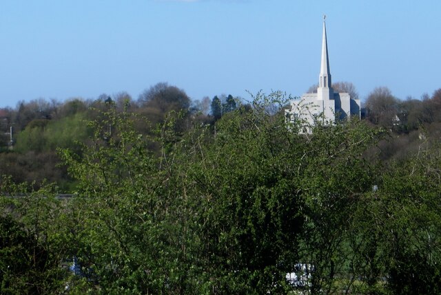
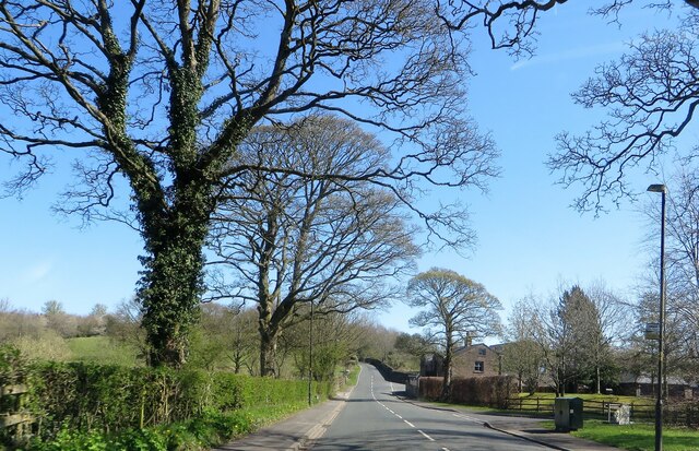
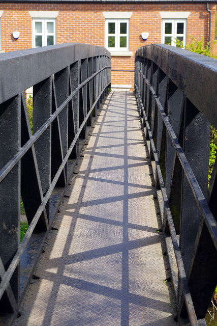
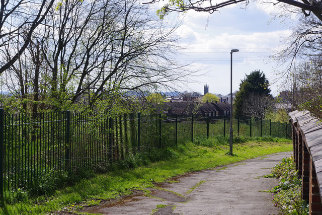
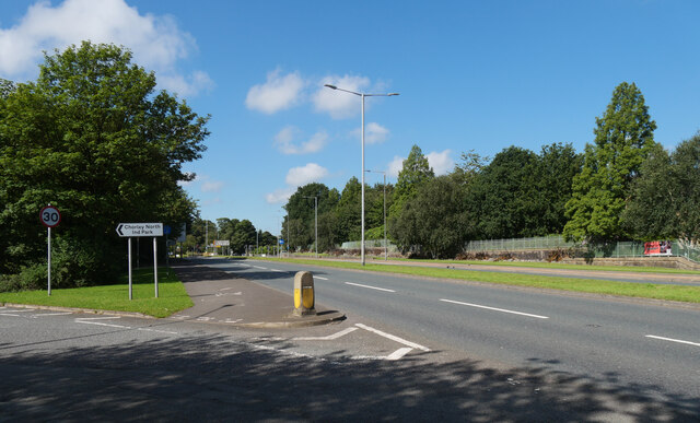
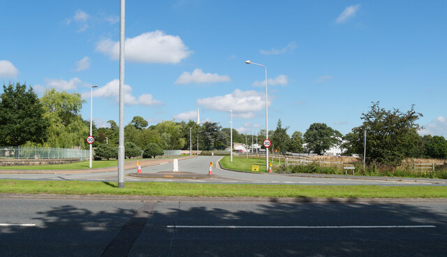
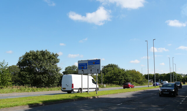
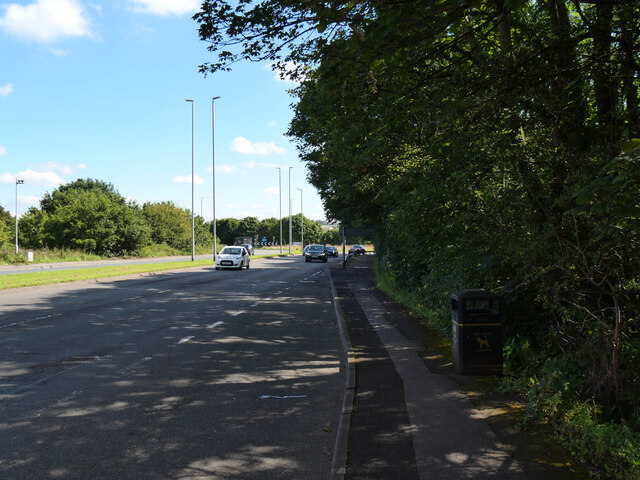
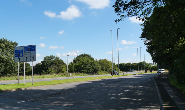
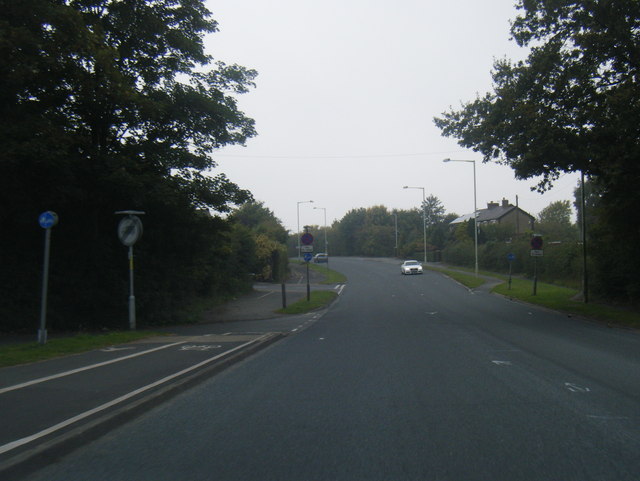
Great Knowley Images
Images are sourced within 2km of 53.672455/-2.6160259 or Grid Reference SD5919. Thanks to Geograph Open Source API. All images are credited.
Great Knowley is located at Grid Ref: SD5919 (Lat: 53.672455, Lng: -2.6160259)
Administrative County: Lancashire
District: Chorley
Police Authority: Lancashire
What 3 Words
///woof.prefix.shifters. Near Chorley, Lancashire
Nearby Locations
Related Wikis

Preston England Temple
The Preston England Temple is the 52nd operating temple of the Church of Jesus Christ of Latter-day Saints (LDS Church). The temple is located in the town...

Heapey
Heapey is a village and civil parish of the Borough of Chorley, in Lancashire, England. The village is two miles from Chorley and on the western fringe...

Lucas Green, Lancashire
Lucas Green is a village in Lancashire, England. == References == The geographic coordinates are from the Ordnance Survey.
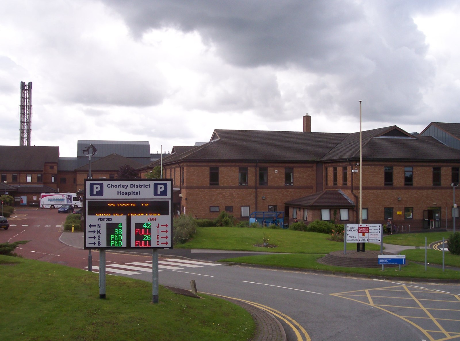
Chorley and South Ribble Hospital
Chorley and South Ribble Hospital is an acute general hospital in Chorley. The hospital is situated on Euxton lane in Chorley close to junction 8 of the...

Heapey railway station
Heapey railway station served the village of Heapey, in Lancashire, England. == History == The station was opened by the Lancashire and Yorkshire Railway...

Wheelton
Wheelton is a village and civil parish of the Borough of Chorley, in Lancashire, England. According to the United Kingdom Census 2001 it has a population...

St Michael's Church of England High School, Chorley
St Michael's is a Church of England secondary school located in the town of Chorley, Lancashire, England. The school is home to 1,200 pupils, and is a...

Shaw Hill
Shaw Hill is an 18th-century country house in Whittle-le-Woods, Lancashire, England, standing in 192 acres of parkland some 3 miles (5 km) north of Chorley...
Nearby Amenities
Located within 500m of 53.672455,-2.6160259Have you been to Great Knowley?
Leave your review of Great Knowley below (or comments, questions and feedback).