Graven
Settlement in Shetland
Scotland
Graven
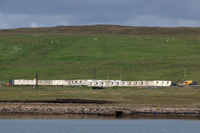
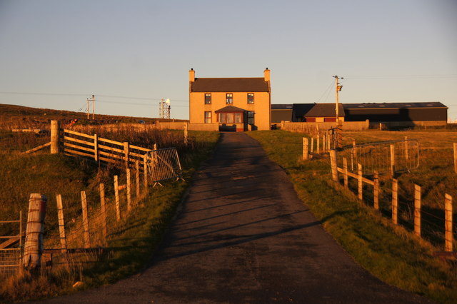
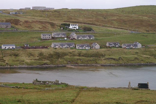
Graven is a small settlement located on the island of Shetland, which is part of Scotland. Situated on the east coast of the island, Graven is surrounded by beautiful views of the North Sea and the rugged landscape that characterizes the region. The settlement is primarily residential, with a small population of around 100 people.
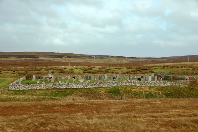
The historic origins of Graven can be traced back to the Viking period, as Shetland was under Norse rule for several centuries. The name "Graven" is believed to have Norse origins, possibly derived from the Old Norse word "grǫf," meaning "grave" or "trench." This suggests that there may have been burial sites or similar features in the area.
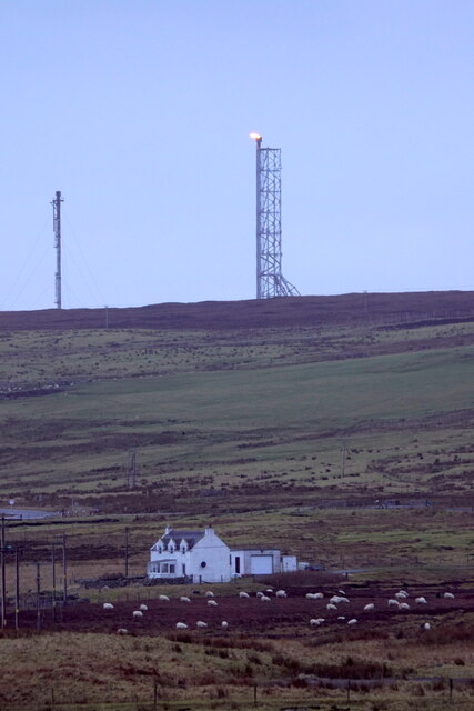
Despite its small size, Graven offers visitors a serene and picturesque environment. The settlement is surrounded by rolling hills, lush green fields, and beautiful sandy beaches. The coastline is a prominent feature, with rocky cliffs and sea stacks adding to the dramatic scenery.
Outdoor enthusiasts will find plenty to explore in and around Graven. The area is known for its excellent birdwatching opportunities, as various seabirds can be spotted along the coast. Fishing is also popular, with locals and tourists venturing out to catch a variety of fish, including cod and mackerel.
Overall, Graven is a tranquil and scenic settlement that offers a glimpse into Shetland's rich history and natural beauty. Its idyllic coastal location and picturesque surroundings make it an appealing destination for those seeking a peaceful retreat in the heart of Scotland's rugged landscape.
If you have any feedback on the listing, please let us know in the comments section below.
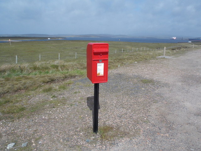
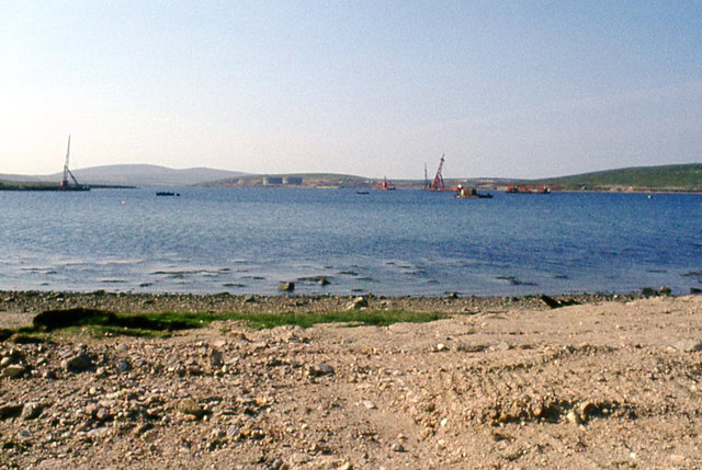
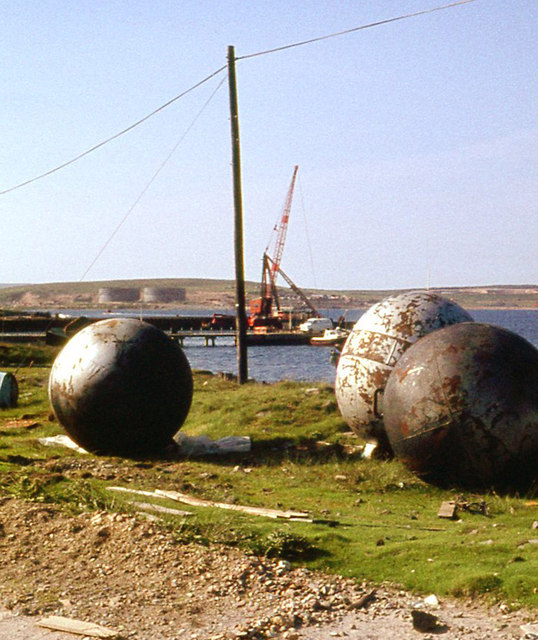
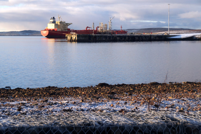
Graven Images
Images are sourced within 2km of 60.442397/-1.2620745 or Grid Reference HU4073. Thanks to Geograph Open Source API. All images are credited.
Graven is located at Grid Ref: HU4073 (Lat: 60.442397, Lng: -1.2620745)
Unitary Authority: Shetland Islands
Police Authority: Highlands and Islands
What 3 Words
///directive.dolphins.window. Near Toft, Shetland Islands
Nearby Locations
Related Wikis
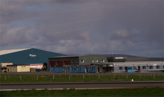
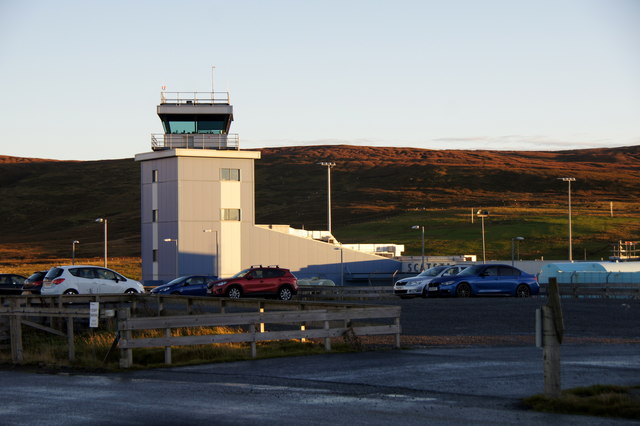
Scatsta Airport
Scatsta Airport (IATA: SCS, ICAO: EGPM), was a commercial airport on the island of Mainland, Shetland in Scotland located 17 nautical miles (31 km; 20...

RAF Sullom Voe
Royal Air Force Sullom Voe or more simply RAF Sullom Voe is a former Royal Air Force station near the village of Brae, in the Shetland Isles of Scotland...

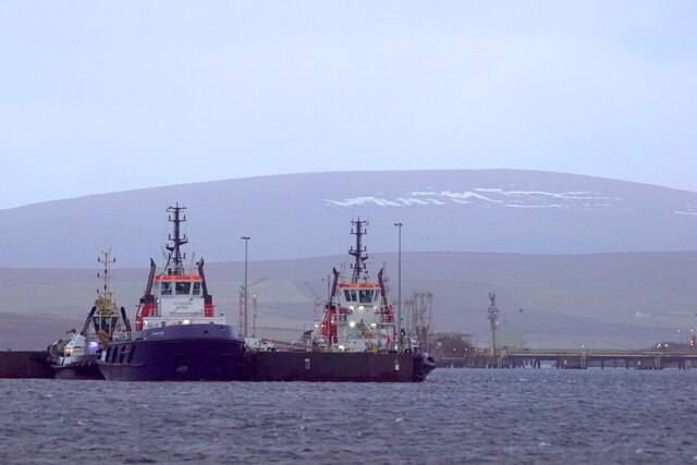
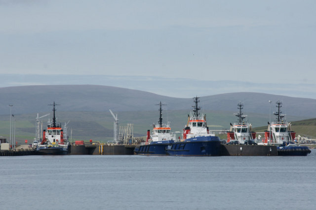
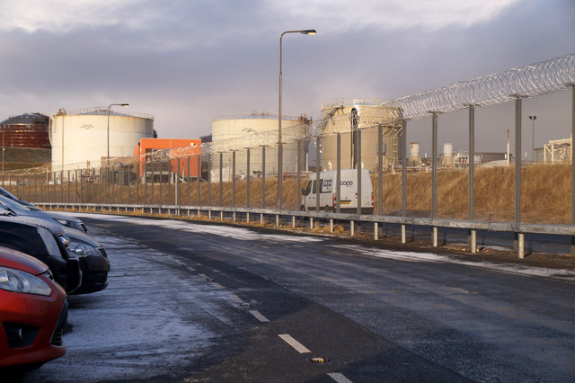
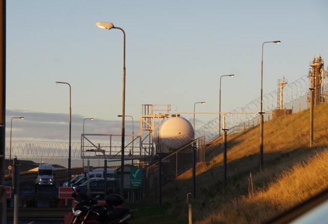
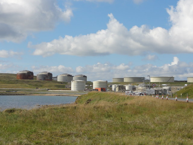
Sullom Voe Terminal
The Sullom Voe Terminal is an oil and gas terminal at Sullom Voe in the Shetland Islands of Scotland. It handles production from oilfields in the North...
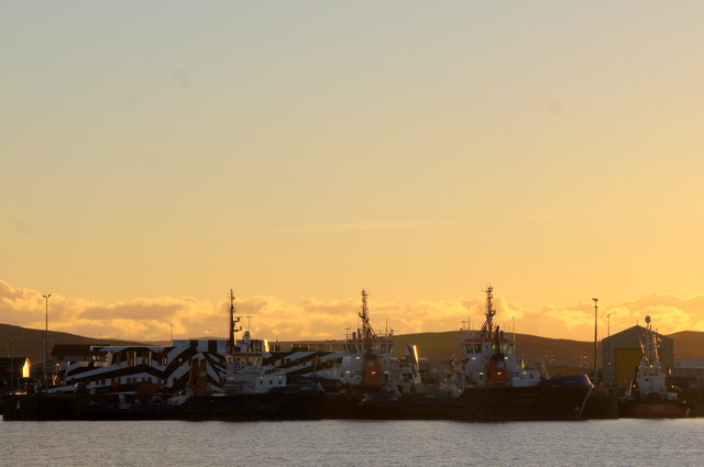
Sullom Voe
Sullom Voe is an inlet of the North Sea between the parishes of Delting and Northmavine in Shetland, Scotland. It is a location of the Sullom Voe oil terminal...

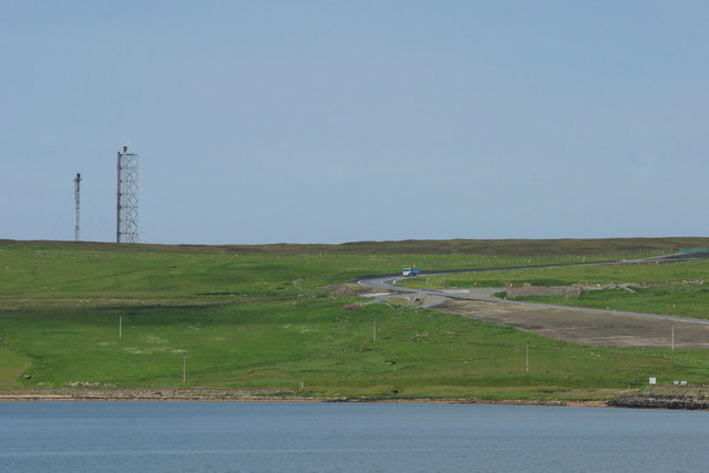
North Mainland
The North Mainland of the Shetland Islands, Scotland is the part of the Mainland lying north of Voe (60° 21′N). == Geography == Notable places in North...
Shetland Gas Plant
The Shetland Gas Plant is a natural-gas processing plant in the Shetland Islands, Scotland. == History == The Shetland Gas Plant is the collection and...
Firth, Shetland
Note: "Firth" is a common name for sounds in ShetlandFirth is a village in the north east of Mainland, Shetland, Scotland, in the parish of Delting, not...

Toft, Shetland
Toft is a ferry port approximately one mile north of Mossbank on Mainland, Shetland, Scotland. From here, a car ferry service to Ulsta on the island of...
Nearby Amenities
Located within 500m of 60.442397,-1.2620745Have you been to Graven?
Leave your review of Graven below (or comments, questions and feedback).