Grange Lane

Settlement in Yorkshire

England

Grange Lane

Keppel's Column in 1999 The column before the steel reinforcing bands were applied
Keppel's Column in 1999 Credit: Kevin Waterhouse

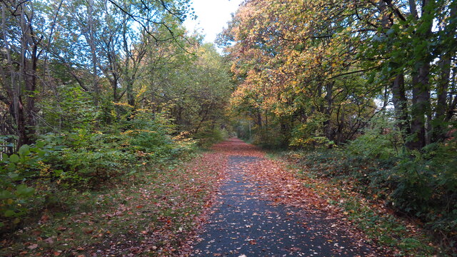
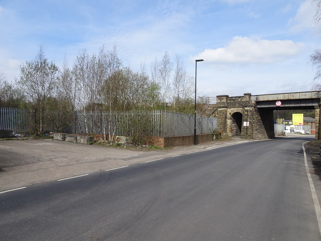
Grange Lane is a picturesque road located in Yorkshire, England. Situated amidst the stunning countryside, this charming lane runs through the heart of the rural landscape, offering residents and visitors a peaceful and idyllic setting.

Lined with quaint cottages and traditional farmhouses, Grange Lane exudes a sense of old-world charm. The buildings, constructed with local stone, add to the lane’s character and blend seamlessly with the surrounding natural beauty. The well-maintained gardens and neatly trimmed hedgerows further enhance the lane's appeal.

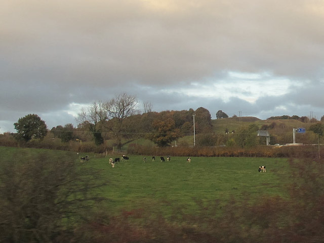
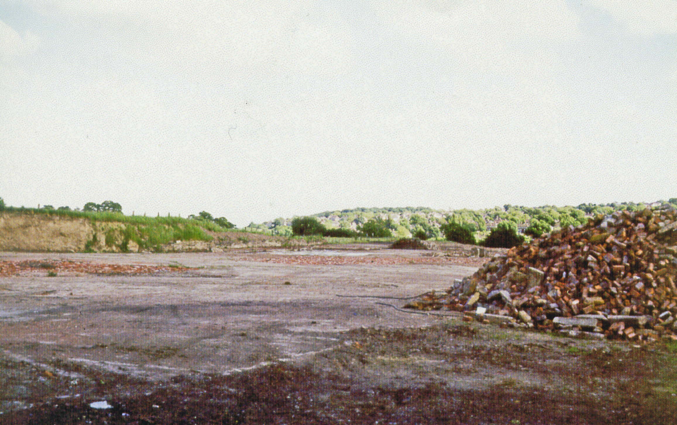
As one meanders along Grange Lane, they are treated to breathtaking views of the rolling hills and vast green fields that stretch out in all directions. The area is known for its rich agricultural heritage, and this is evident in the fields that are often filled with grazing livestock or crops swaying gently in the breeze.

Grange Lane also benefits from its convenient location. Despite being tucked away in the countryside, it is within easy reach of nearby towns and villages. This makes it an ideal spot for those seeking a peaceful retreat while still having access to amenities and services.

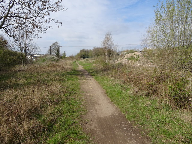
For outdoor enthusiasts, Grange Lane offers plenty of opportunities for walking, cycling, and exploring the surrounding countryside. Several footpaths and trails meander through the area, allowing visitors to immerse themselves in nature and discover the hidden gems of Yorkshire.

In summary, Grange Lane is a charming and picturesque road nestled in the heart of Yorkshire. With its stunning countryside views, traditional architecture, and convenient location, it offers residents and visitors an idyllic retreat away from the hustle and bustle of city life.

If you have any feedback on the listing, please let us know in the comments section below.
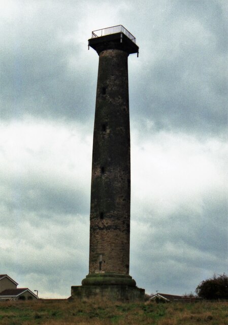
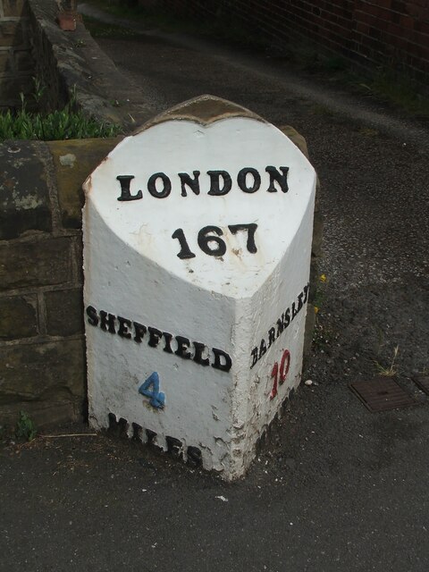
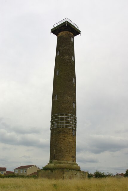
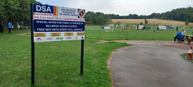
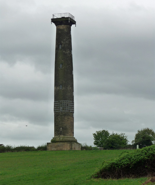
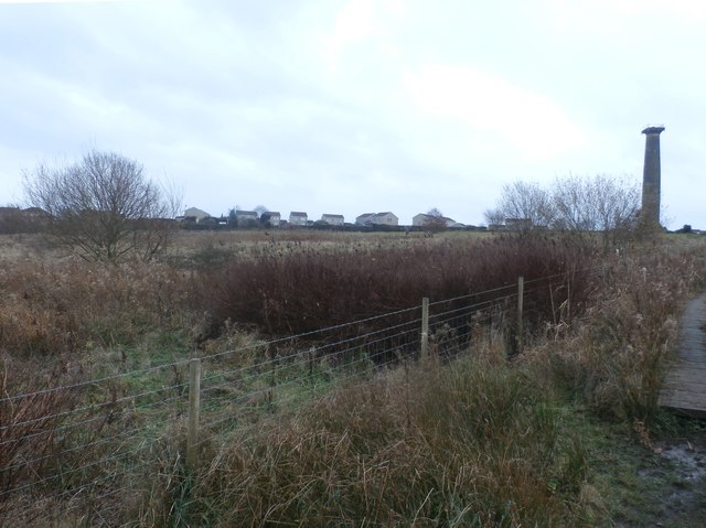
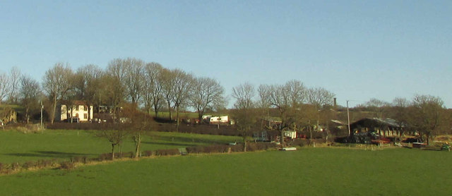
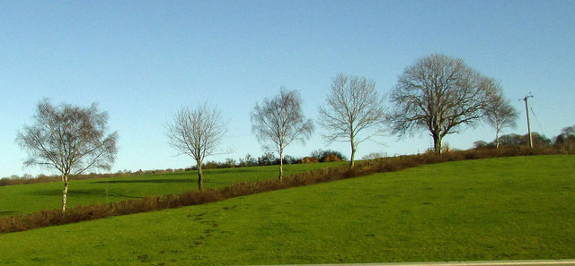
Grange Lane Images

Images are sourced within 2km of 53.43821/-1.4352061 or Grid Reference SK3793. Thanks to Geograph Open Source API. All images are credited.

Keppel's Column in 1999 The column before the steel reinforcing bands were applied
Keppel's Column in 1999
The column before the steel reinforcing bands were applied
Old milestone This milestone from the Wakefield-Barnsley-Sheffield tollroad first enacted in 1758 is on Cross Hill at Highgreave.   It was painted in 2018 by the owner of the house behind it to his own colour scheme.  It is just unfortunate that over many years the pavement level has been raised and now covers the bottom half of MILES on the Barnsley face.
Old milestone
This milestone from the Wakefield-Barnsley-Sheffield tollroad first enacted in 1758 is on Cross Hill at Highgreave. It was painted in 2018 by the owner of the house behind it to his own colour scheme. It is just unfortunate that over many years the pavement level has been raised and now covers the bottom half of MILES on the Barnsley face.
Keppel's Column A folly for Wentworth Woodhouse, now with strengthening metal 'girdle'
Keppel's Column
A folly for Wentworth Woodhouse, now with strengthening metal 'girdle'
Millmoor Juniors Football Club, Rotherham
Autumn colours, Blackburn Valley Trail, NW of Meadowhall A surprisingly pleasant walkway in what is quite an industrial area.
Autumn colours, Blackburn Valley Trail, NW of Meadowhall
A surprisingly pleasant walkway in what is quite an industrial area.
M1, North of Tinsley The M1 is a north–south motorway connecting London to Leeds, where it joins the A1(M) near Aberford. It was the first motorway to be completed in the United Kingdom.
The motorway is 193 miles long and was constructed in four phases. Most of the motorway was opened between 1959 and 1968 but the southern end was extended in 1977 and the northern end was extended in 1999.
M1, North of Tinsley
The M1 is a north–south motorway connecting London to Leeds, where it joins the A1(M) near Aberford. It was the first motorway to be completed in the United Kingdom. The motorway is 193 miles long and was constructed in four phases. Most of the motorway was opened between 1959 and 1968 but the southern end was extended in 1977 and the northern end was extended in 1999.
M1 near Thundercliffe Grange The M1 is a north–south motorway connecting London to Leeds, where it joins the A1(M) near Aberford. It was the first motorway to be completed in the United Kingdom.
The motorway is 193 miles long and was constructed in four phases. Most of the motorway was opened between 1959 and 1968 but the southern end was extended in 1977 and the northern end was extended in 1999.
M1 near Thundercliffe Grange
The M1 is a north–south motorway connecting London to Leeds, where it joins the A1(M) near Aberford. It was the first motorway to be completed in the United Kingdom. The motorway is 193 miles long and was constructed in four phases. Most of the motorway was opened between 1959 and 1968 but the southern end was extended in 1977 and the northern end was extended in 1999.
Northbound M1, Grange Park The M1 is a north–south motorway connecting London to Leeds, where it joins the A1(M) near Aberford. It was the first motorway to be completed in the United Kingdom.
The motorway is 193 miles long and was constructed in four phases. Most of the motorway was opened between 1959 and 1968 but the southern end was extended in 1977 and the northern end was extended in 1999.
Northbound M1, Grange Park
The M1 is a north–south motorway connecting London to Leeds, where it joins the A1(M) near Aberford. It was the first motorway to be completed in the United Kingdom. The motorway is 193 miles long and was constructed in four phases. Most of the motorway was opened between 1959 and 1968 but the southern end was extended in 1977 and the northern end was extended in 1999.
Northbound M1, Jumble Lane Bridge The M1 is a north–south motorway connecting London to Leeds, where it joins the A1(M) near Aberford. It was the first motorway to be completed in the United Kingdom.
The motorway is 193 miles long and was constructed in four phases. Most of the motorway was opened between 1959 and 1968 but the southern end was extended in 1977 and the northern end was extended in 1999.
Northbound M1, Jumble Lane Bridge
The M1 is a north–south motorway connecting London to Leeds, where it joins the A1(M) near Aberford. It was the first motorway to be completed in the United Kingdom. The motorway is 193 miles long and was constructed in four phases. Most of the motorway was opened between 1959 and 1968 but the southern end was extended in 1977 and the northern end was extended in 1999.
Keppel's Column near Thorpe Hesley One of the umpteen Wentworth monuments. By John Carr, 1778, "in memory of the acquittal at his court martial of Lord Rockingham's friend Admiral Keppel". For an account of the pronounced entasis, see here: <a href="https://www.geograph.org.uk/photo/2713386">SK3894 : Keppel's Column</a>. Grade II* listed.
Keppel's Column near Thorpe Hesley
One of the umpteen Wentworth monuments. By John Carr, 1778, "in memory of the acquittal at his court martial of Lord Rockingham's friend Admiral Keppel". For an account of the pronounced entasis, see here: SK3894 : Keppel's Column. Grade II* listed.
Common Land near Kimberworth Park View from the bridleway to Scholes Coppice which cuts across the north western corner of this square. Keppel's Column on the right of picture is situated in SK3894.
Common Land near Kimberworth Park
View from the bridleway to Scholes Coppice which cuts across the north western corner of this square. Keppel's Column on the right of picture is situated in SK3894.
Rainstorth House And outbuildings, seen from the M1.
Rainstorth House
And outbuildings, seen from the M1.
Trees near Rainstorth House Trees along a field boundary, seen from the M1.
Trees near Rainstorth House
Trees along a field boundary, seen from the M1.
Cows near the motorway Seen from a passing train.
Cows near the motorway
Seen from a passing train.
Tarmac Mortar A concrete batching plant on the S35 Industrial Park.
Tarmac Mortar
A concrete batching plant on the S35 Industrial Park.
Old Milepost by the A6135, Cross Hill, Sheffield parish Cast iron post by the A6135, in parish of SHEFFIELD (SHEFFIELD District), Highgreave, Cross Hill, in pavement next to wall outside No. 97, on North side of road. Erected by the Wakefield & Sheffield turnpike trust in the 19th century. 

Inscription reads:-
: SHEFFIELD / 4 / MILES : : LONDON / 167  : : BARNSLEY / 10 / MILES : 

Milestone Society National ID: YS_BNSF10.
Old Milepost by the A6135, Cross Hill, Sheffield parish
Cast iron post by the A6135, in parish of SHEFFIELD (SHEFFIELD District), Highgreave, Cross Hill, in pavement next to wall outside No. 97, on North side of road. Erected by the Wakefield & Sheffield turnpike trust in the 19th century. Inscription reads:- : SHEFFIELD / 4 / MILES : : LONDON / 167 : : BARNSLEY / 10 / MILES : Milestone Society National ID: YS_BNSF10.
Ecclesfield East railway station (site), Yorkshire Opened in 1876 by the Manchester Sheffield & Lincolnshire Railway on the Blackburn Valley line from Sheffield Victoria to Barnsley (Stairfoot), this station closed to passengers in 1953 and completely in 1954.
View north towards Chapeltown (Central) and Barnsley from the former track-bed. Brickwork for the former Sheffield-bound platform is extant in the undergrowth to the right. The area was derelict when this image was taken.
Ecclesfield East railway station (site), Yorkshire
Opened in 1876 by the Manchester Sheffield & Lincolnshire Railway on the Blackburn Valley line from Sheffield Victoria to Barnsley (Stairfoot), this station closed to passengers in 1953 and completely in 1954. View north towards Chapeltown (Central) and Barnsley from the former track-bed. Brickwork for the former Sheffield-bound platform is extant in the undergrowth to the right. The area was derelict when this image was taken.
Ecclesfield West railway station (site), Yorkshire Opened in 1897 by the Midland Railway on the line from Sheffield to Barnsley, this station closed in 1967. 
View north from Loicher Lane at the site of the former station  building, behind which were sloping paths up to the (wooden) platform level on the embankment. No trace apparently remains, although the railway line is still well used.
Ecclesfield West railway station (site), Yorkshire
Opened in 1897 by the Midland Railway on the line from Sheffield to Barnsley, this station closed in 1967. View north from Loicher Lane at the site of the former station building, behind which were sloping paths up to the (wooden) platform level on the embankment. No trace apparently remains, although the railway line is still well used.
Show me another place!

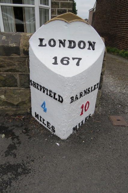
Grange Lane is located at Grid Ref: SK3793 (Lat: 53.43821, Lng: -1.4352061)

Division: West Riding

Unitary Authority: Sheffield

Police Authority: South Yorkshire

What 3 Words

///pirate.sobs.fork. Near Chapeltown, South Yorkshire

Nearby Locations

Grange Lane

Related Wikis

Grange Lane railway station (South Yorkshire)

Grange Lane railway station was a railway station located on the South Yorkshire Railway line between Sheffield and Barnsley in South Yorkshire, England...

Concord Park

Concord Park is a large park in the North of Sheffield, England, between Shiregreen and Wincobank. The park consists of Concord Park Golf Course, a country...

Ecclesfield East railway station

Ecclesfield East railway station was built by the South Yorkshire Railway on their "Blackburn Valley" line between Sheffield Wicker and Barnsley. The station...
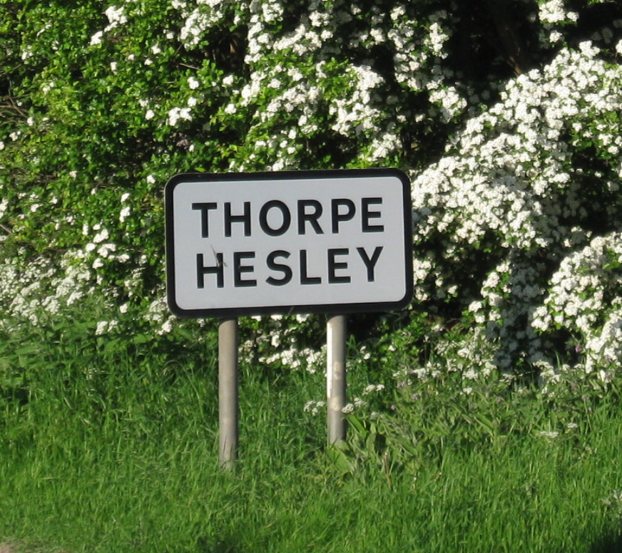
Thorpe Hesley

Thorpe Hesley is a village in the Metropolitan Borough of Rotherham, South Yorkshire, England, lying east of the M1 motorway at junction 35. The village...
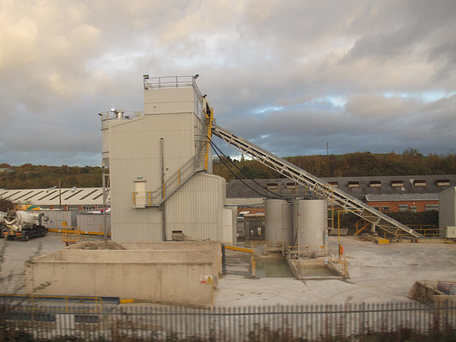
Nearby Amenities

Located within 500m of 53.43821,-1.4352061
Turning Circle
Source: Bing
Lat/Long: 53.4353812/-1.4384001
Power: substation
Lat/Long: 53.4340946/-1.4354876
Turning Circle
Lat/Long: 53.4358023/-1.4398264
Post Box
Collection Times: Mo-Fr 09:00; Sa 07:00
Post Box Type: pillar
Ref: S5 109D
Royal Cypher: EIIR
Royal Cypher Wikidata: Q33102113
Lat/Long: 53.4365909/-1.4395437
Grange Lane Junction
Historic Railway: junction
Railway: site
Lat/Long: 53.4386242/-1.4373198
Crossing
Bicycle: yes
Crossing: uncontrolled
Tactile Paving: yes
Lat/Long: 53.4370005/-1.4381222
Grange Lane Wrought Iron
Addr City: Sheffield
Addr Postcode: S5 0DU
Addr Street: Deep Lane
Craft: metal_construction
Lat/Long: 53.4373246/-1.437319
Barrier: stile
Lat/Long: 53.4393664/-1.4395047
Barrier: stile
Lat/Long: 53.4395112/-1.4382584
Barrier: kissing_gate
Lat/Long: 53.4401091/-1.4298294
Bench
Backrest: no
Lat/Long: 53.4381251/-1.4362851
Bench
Backrest: no
Lat/Long: 53.4395494/-1.4406695
Grange Lane
Historic Railway: station
Railway: site
Wikidata: Q5595665
Wikipedia: en:Grange Lane railway station (South Yorkshire)
Lat/Long: 53.4380399/-1.4360548
Board Type: history
Information: board
Tourism: information
Lat/Long: 53.4377805/-1.4295347
Grit Bin
Operator: Sheffield City Council
Operator Type: government
Operator Wikidata: Q7492609
Seasonal: no
Lat/Long: 53.4358624/-1.4405658
Grit Bin
Operator: Sheffield City Council
Operator Type: government
Operator Wikidata: Q7492609
Seasonal: no
Lat/Long: 53.4352215/-1.4361339
Grit Bin
Operator: Sheffield City Council
Operator Type: government
Operator Wikidata: Q7492609
Seasonal: no
Lat/Long: 53.4341422/-1.4359976
Barrier: motorcycle_barrier
Lat/Long: 53.4379478/-1.4358465
Barrier: motorcycle_barrier
Lat/Long: 53.437838/-1.4356382
The data included in this document is from www.openstreetmap.org. The data is made available under ODbL.

Have you been to Grange Lane?

Leave your review of Grange Lane below (or comments, questions and feedback).