Grahame Park
Settlement in Middlesex
England
Grahame Park
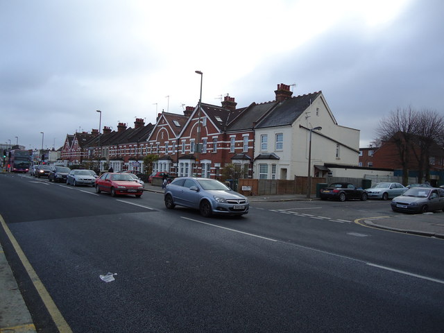
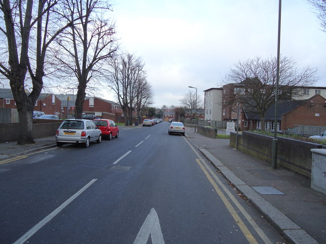
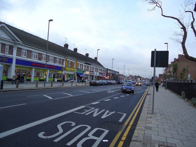
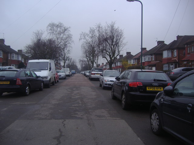
Grahame Park is a residential area located in the London Borough of Barnet, Middlesex, England. It is situated approximately 10 miles northwest of central London and is part of the Colindale ward. The area is named after the Grahame Park Estate, a large housing development constructed in the mid-20th century.
The Grahame Park Estate was built in the 1970s by the Greater London Council (GLC) as a solution to the post-war housing shortage. It was originally designed to provide affordable housing for families and to cater to a diverse range of residents. The estate comprises mainly low-rise and high-rise apartment blocks, arranged in a series of courts and cul-de-sacs.
Over the years, Grahame Park has undergone significant regeneration, with many of the original buildings being demolished and replaced with modern, energy-efficient homes. The estate is now managed by the Genesis Housing Association, which aims to create a sustainable and inclusive community.
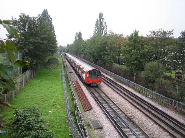
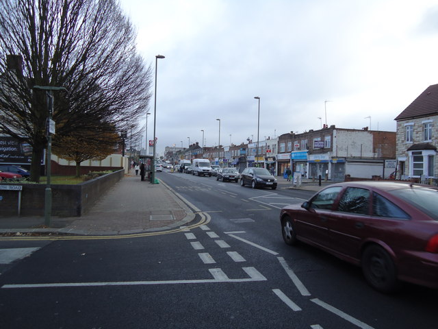
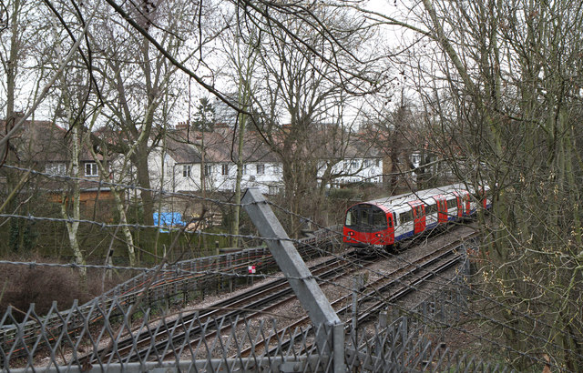
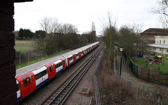
Grahame Park benefits from excellent transport links, with Colindale Underground Station located just a short walk away. The station provides access to the Northern Line, allowing residents easy connections to central London and other parts of the city. In addition, the area is well-served by bus routes, providing convenient travel options for those without access to a car.
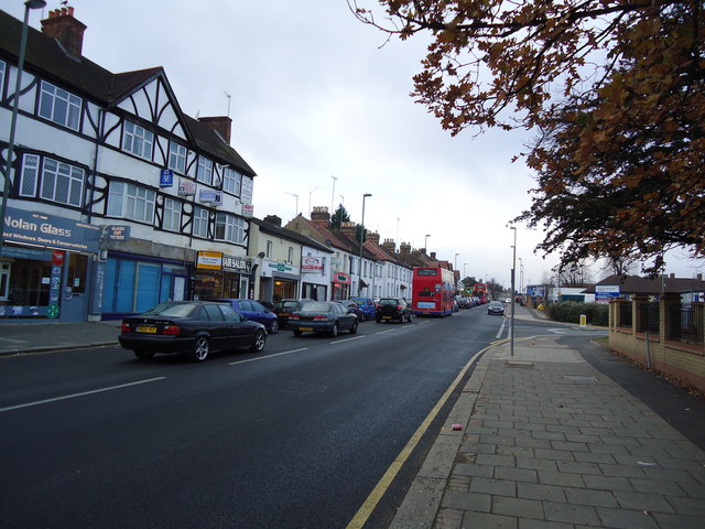
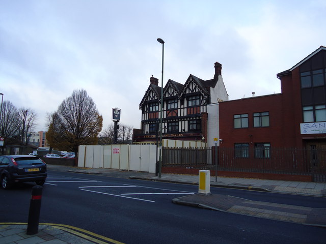
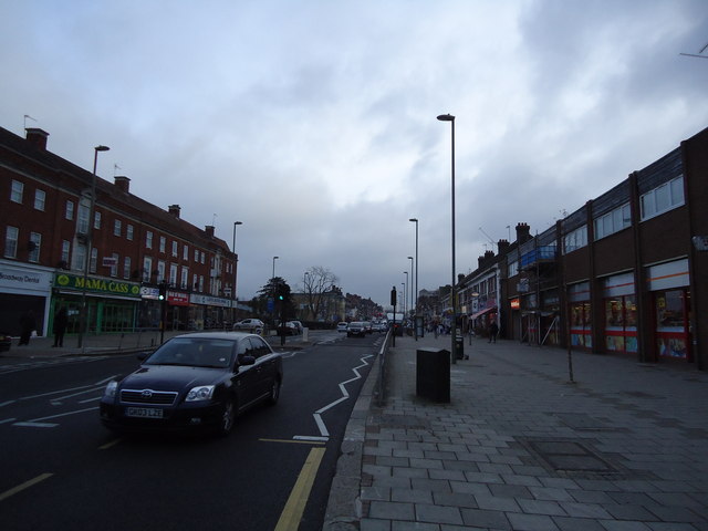
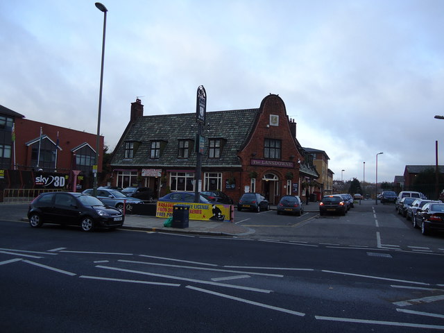
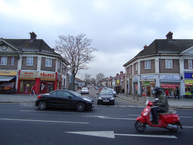
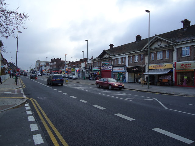
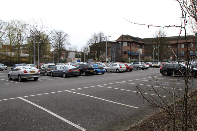
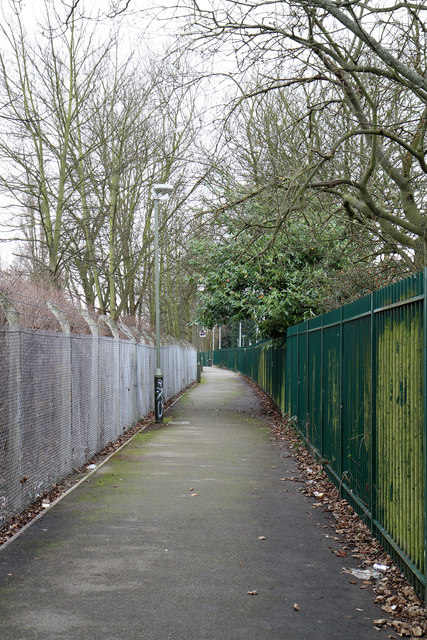
The community of Grahame Park is diverse, with a mix of different cultures and backgrounds. The area offers a range of amenities, including shops, schools, and green spaces. The nearby RAF Museum is a popular attraction for both residents and visitors, showcasing the history of aviation in the area.
Overall, Grahame Park is a thriving residential area that has undergone significant redevelopment in recent years. With its convenient location and range of amenities, it continues to be a sought-after place to live in Middlesex.
If you have any feedback on the listing, please let us know in the comments section below.
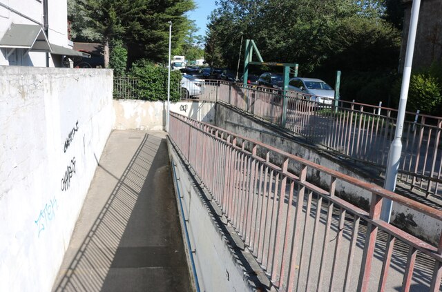
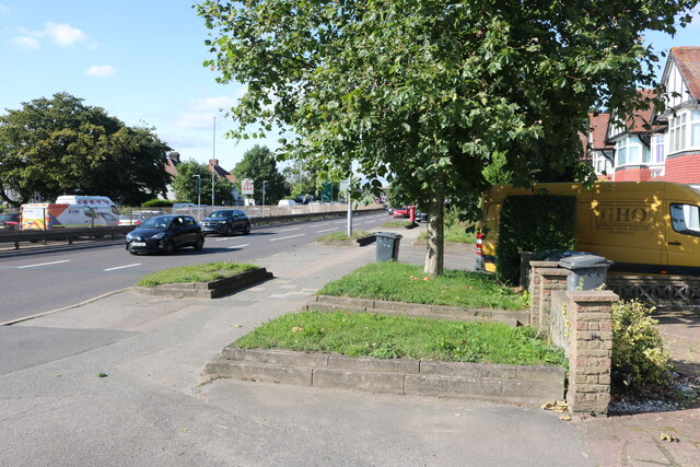
Grahame Park Images
Images are sourced within 2km of 51.601683/-0.24465344 or Grid Reference TQ2190. Thanks to Geograph Open Source API. All images are credited.
Grahame Park is located at Grid Ref: TQ2190 (Lat: 51.601683, Lng: -0.24465344)
Unitary Authority: Barnet
Police Authority: Metropolitan
What 3 Words
///unfair.wooden.actual. Near Hendon, London
Nearby Locations
Related Wikis
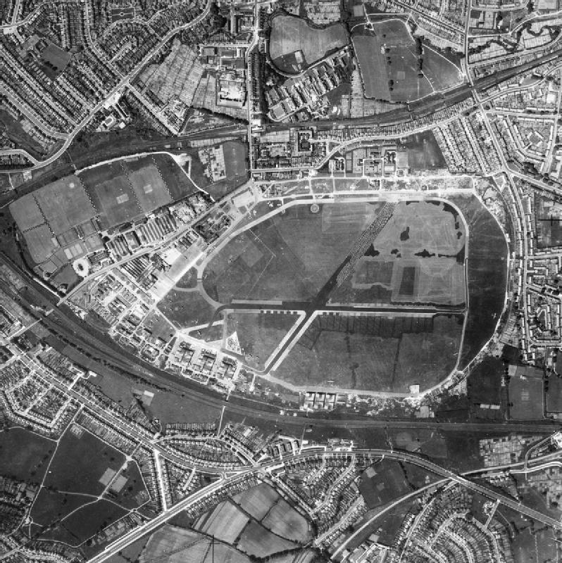
Hendon Aerodrome
Hendon Aerodrome was an aerodrome in London, England, that was an important centre for aviation from 1908 to 1968. It was situated in Colindale, seven...

Grahame Park
Grahame Park, located on the site of the old Hendon Aerodrome in North West London, is a north London housing estate in the London Borough of Barnet, including...

St James' Catholic High School, Colindale
St James Catholic High School is voluntary aided mixed sex school for students from 11–18 years of age. It was founded by the Dominican sisters in 1934...
Royal Air Force Museum London
The Royal Air Force Museum London (also commonly known as the RAF Museum) is located on the former Hendon Aerodrome, in North London's Borough of Barnet...
Nearby Amenities
Located within 500m of 51.601683,-0.24465344Have you been to Grahame Park?
Leave your review of Grahame Park below (or comments, questions and feedback).