Glen Faba
Settlement in Essex Epping Forest
England
Glen Faba
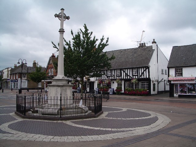
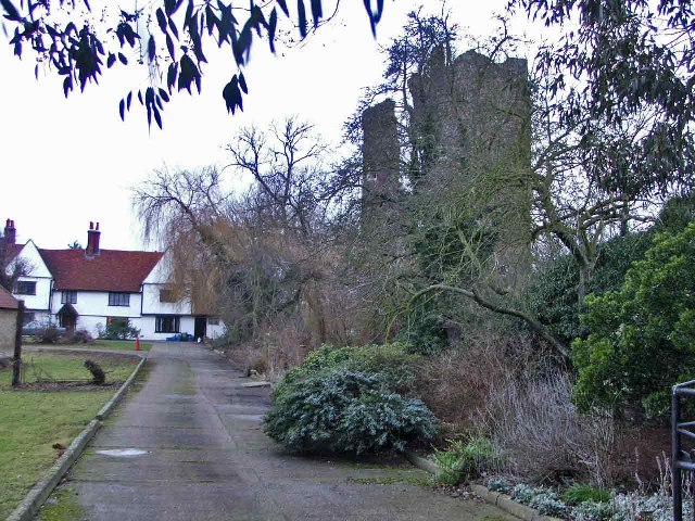
Glen Faba is a small village located in the county of Essex, England. Situated approximately five miles northeast of the town of Harlow, it falls within the administrative district of Epping Forest. With a population of around 1,000 residents, Glen Faba offers a peaceful and close-knit community atmosphere.
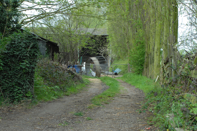
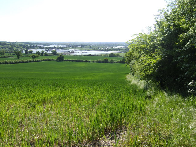
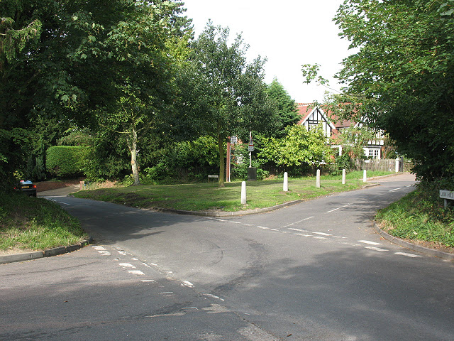
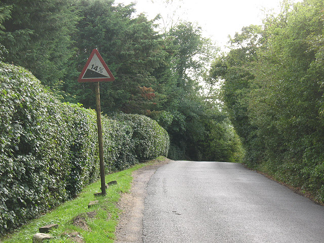
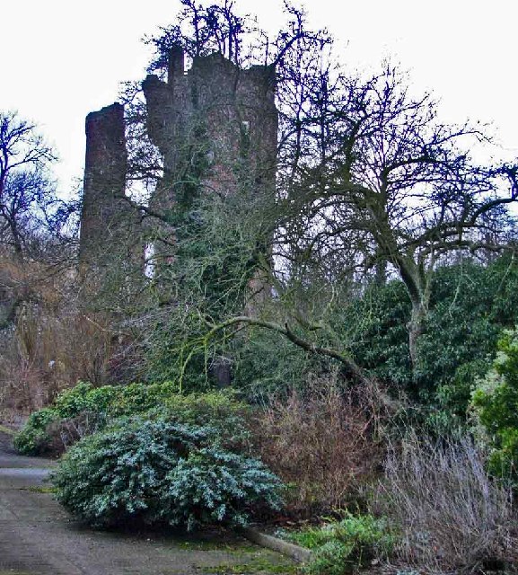
The village is surrounded by picturesque countryside, with rolling hills and lush green fields that provide a tranquil setting for residents and visitors alike. Despite its rural location, Glen Faba benefits from excellent transport links, including easy access to the nearby M11 motorway, allowing for convenient travel to London and other major cities.
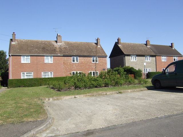
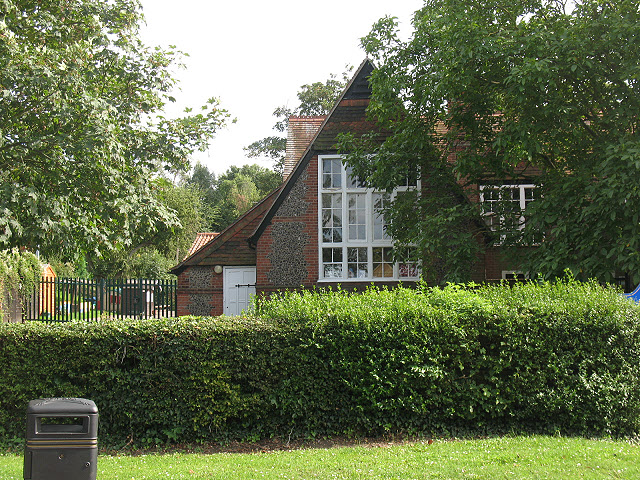
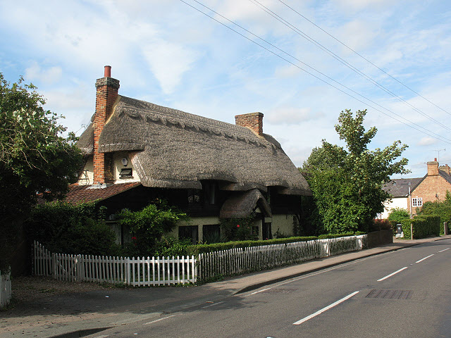
The village itself is characterized by a mix of quaint cottages and modern houses, creating an eclectic architectural landscape. There is a small local primary school that serves the community, ensuring educational needs are met for young residents. Additionally, a local pub and a few small shops cater to the essential needs of the village.
Glen Faba is surrounded by natural beauty, with several nearby nature reserves and parks offering opportunities for outdoor activities such as hiking, cycling, and picnicking. The village also benefits from its proximity to the historic market town of Epping, which provides a wider range of amenities including shops, restaurants, and leisure facilities.
Overall, Glen Faba offers a serene and idyllic living environment, where residents can enjoy the tranquility of the countryside while still having easy access to nearby towns and cities.
If you have any feedback on the listing, please let us know in the comments section below.
Glen Faba Images
Images are sourced within 2km of 51.764177/0.014613172 or Grid Reference TL3909. Thanks to Geograph Open Source API. All images are credited.
Glen Faba is located at Grid Ref: TL3909 (Lat: 51.764177, Lng: 0.014613172)
Administrative County: Essex
District: Epping Forest
Police Authority: Essex
What 3 Words
///third.empty.steer. Near Hoddesdon, Hertfordshire
Related Wikis

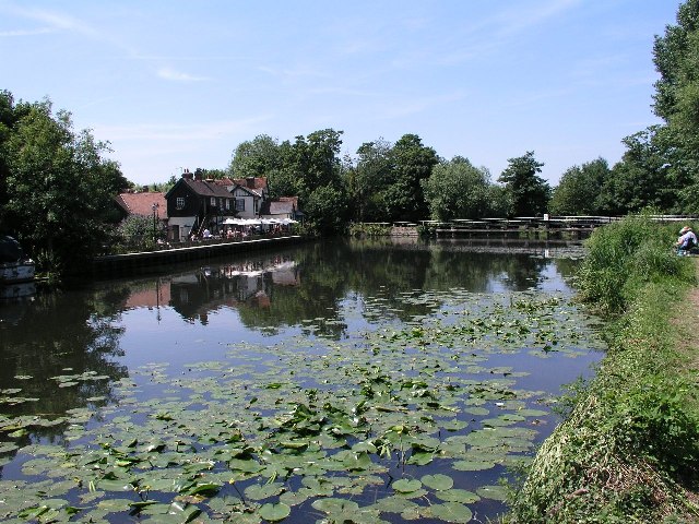
River Stort
The River Stort is a river in Essex and Hertfordshire, England. It is 24 miles (38 km) long and flows from just south of the village of Langley to the...

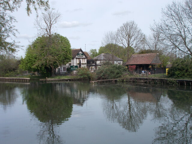
Feildes Weir
Feildes Weir is a weir on the River Lea located in Hoddesdon, Hertfordshire at the confluence of the River Lea and River Stort. The weir marks the start...

Tollhouse Stream
The Tollhouse Stream is a watercourse in Hertfordshire, England. It rises in the Rye Meads a sewage treatment works on the northeastern bank of the River...

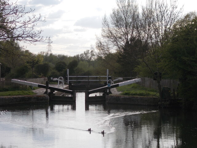
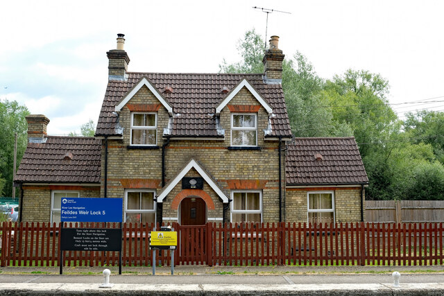
Feildes Weir Lock
Feildes Weir Lock (No5) is a lock on the River Lee Navigation located in Hoddesdon. == Location == The lock is adjacent to the confluence of the River...
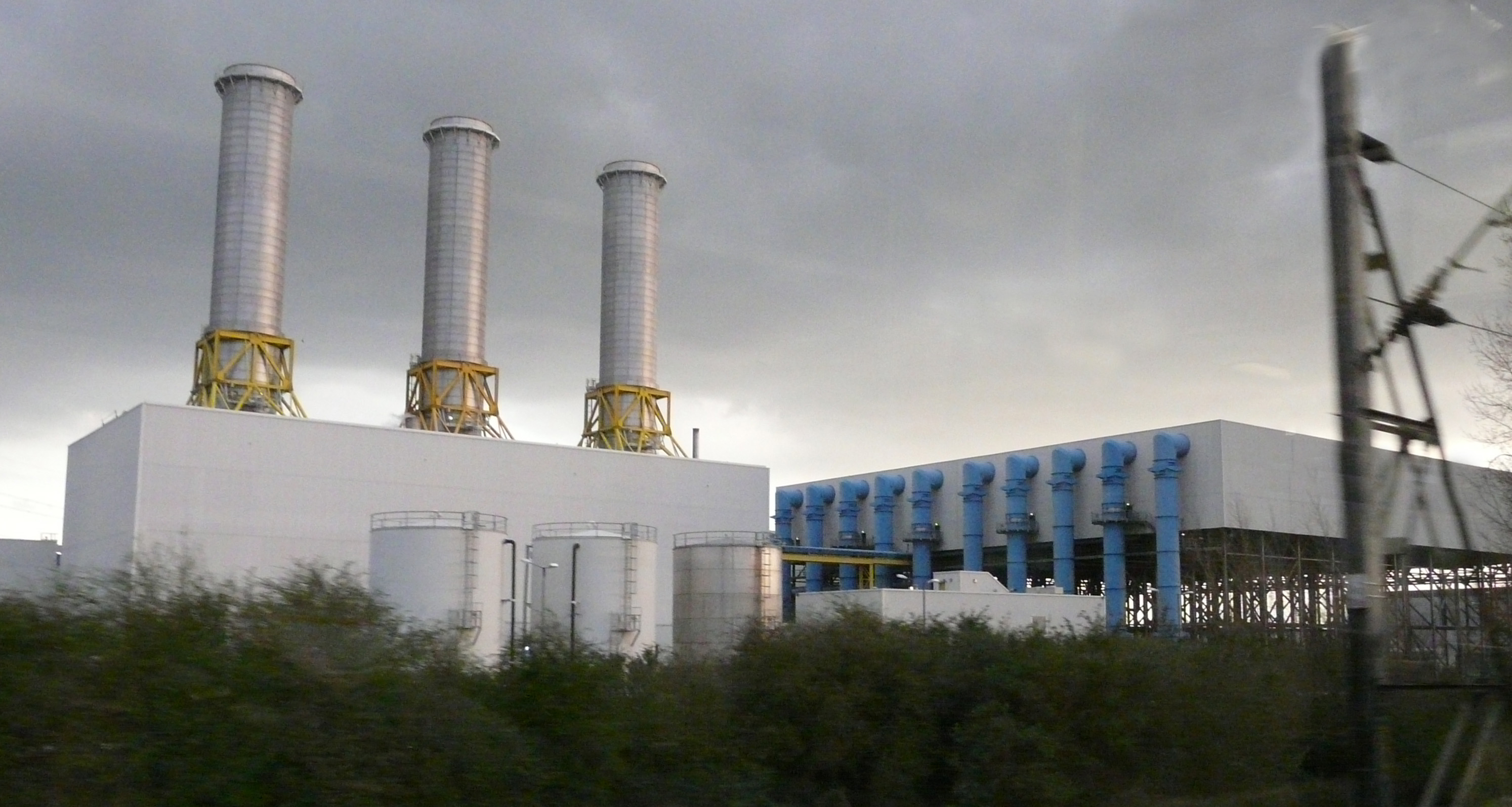
Rye House power station
Rye House Power Station is a 715 MW combined cycle gas turbine (CCGT) power station located near Rye House railway station in Hoddesdon, Hertfordshire...

Rye House Kart Circuit
Rye House Kart Circuit is a kart circuit, in Hoddesdon, Hertfordshire, England, and is adjacent to the Rye House Stadium. The circuit is one of the oldest...
Rye House Stadium
Rye House Stadium is a former greyhound racing and speedway venue in Rye Road, Hoddesdon, Hertfordshire. It is situated adjacent to the River Lea Navigation...
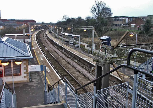
Rye House railway station
British Rail Class 720 Rye House railway station is on the Hertford East branch line off the West Anglia Main Line in the east of England, serving the...
Nearby Amenities
Located within 500m of 51.764177,0.014613172Have you been to Glen Faba?
Leave your review of Glen Faba below (or comments, questions and feedback).