Glen Beich
Settlement in Perthshire
Scotland
Glen Beich

The requested URL returned error: 429 Too Many Requests
If you have any feedback on the listing, please let us know in the comments section below.
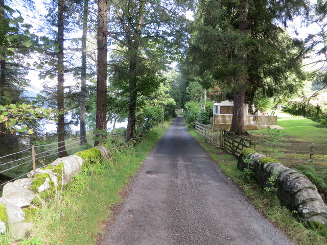
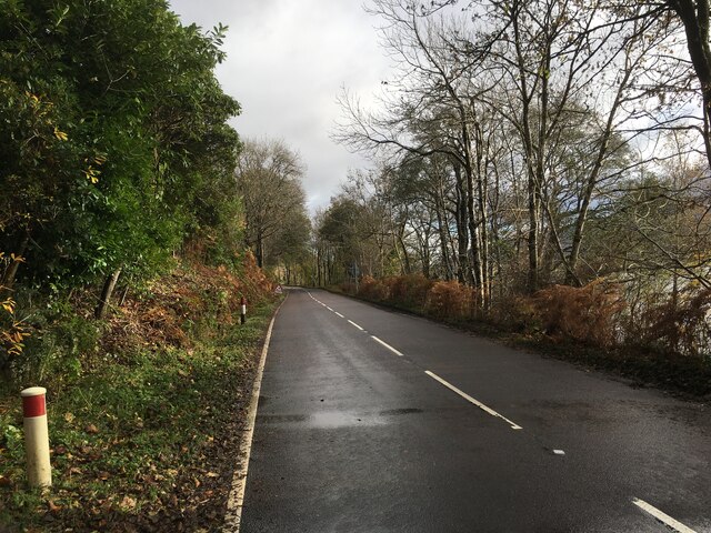
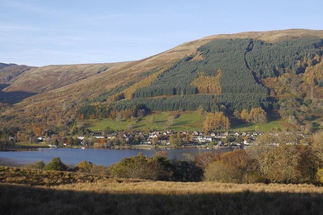
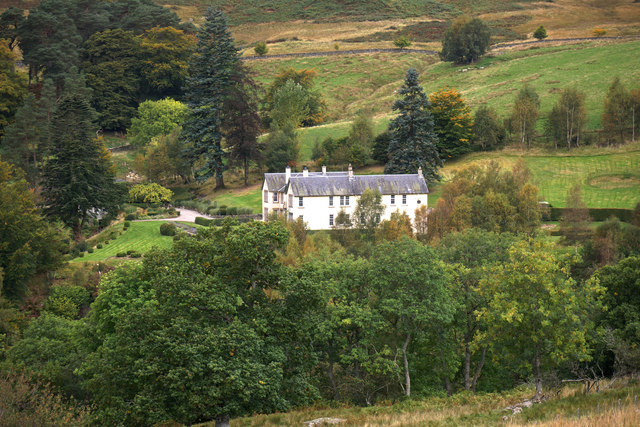
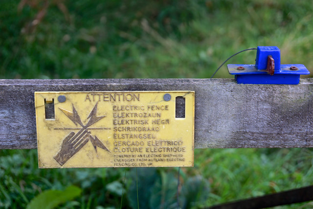
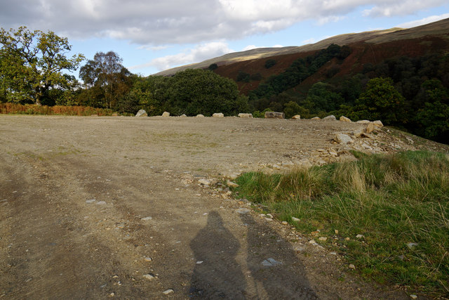
Glen Beich Images
Images are sourced within 2km of 56.39277/-4.2454185 or Grid Reference NN6124. Thanks to Geograph Open Source API. All images are credited.


Glen Beich is located at Grid Ref: NN6124 (Lat: 56.39277, Lng: -4.2454185)
Unitary Authority: Stirling
Police Authority: Forth Valley
What 3 Words
///shortcuts.beefed.cigar. Near Comrie, Perth & Kinross
Nearby Locations
Related Wikis
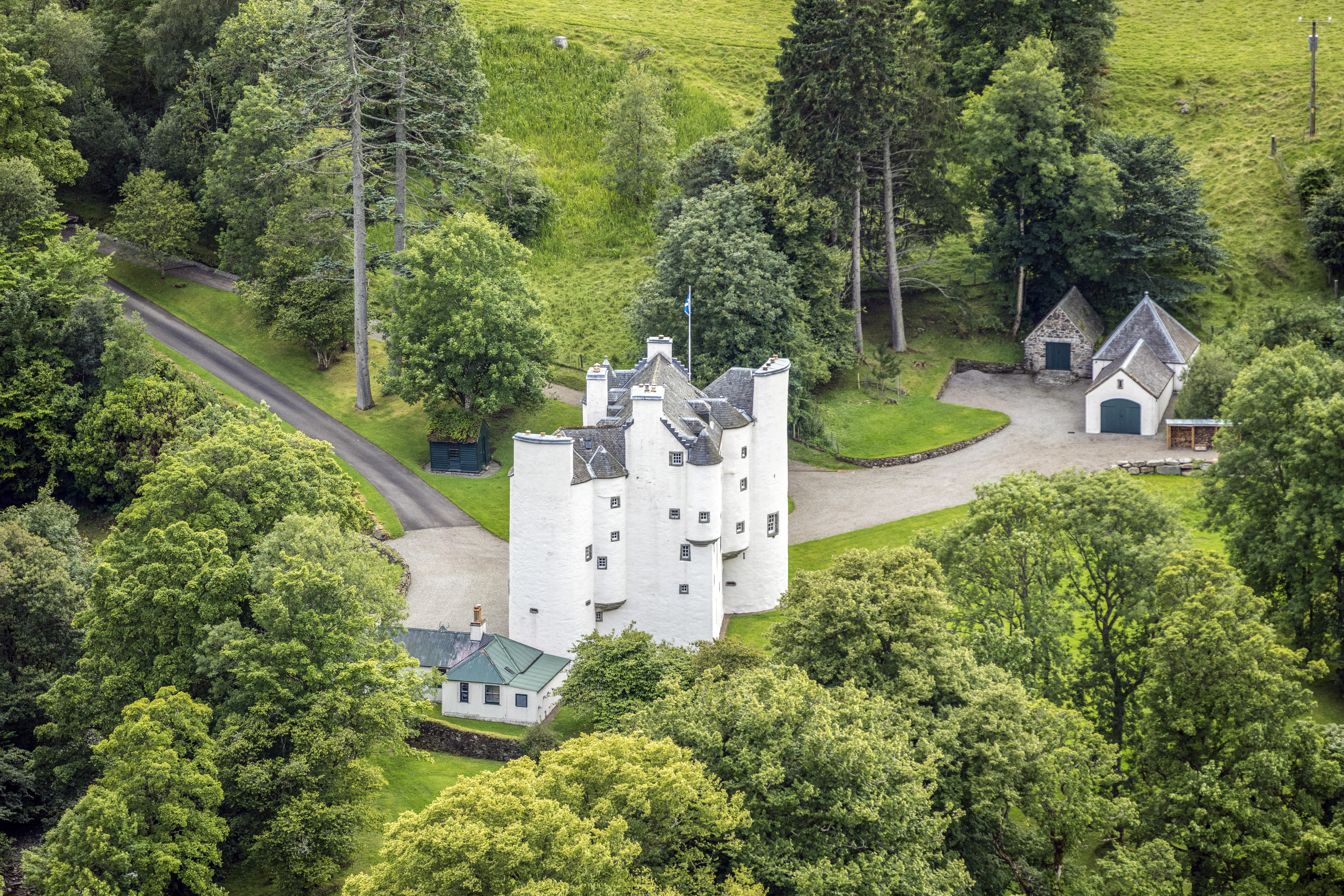
Edinample Castle
Edinample Castle is a late 16th-century tower house on the southern shores of Loch Earn near Balquhidder in the Stirling council area of Scotland. It was...

Falls of Edinample
The falls of Edinample is a waterfall near the village of Craggan in the district of Stirling in Scotland. == See also == Waterfalls of Scotland ��2�...

Lochearnhead
Lochearnhead (Scottish Gaelic: Ceann Loch Èireann) is a village in Perthshire on the A84 Stirling to Crianlarich road at the foot of Glen Ogle, 14 miles...
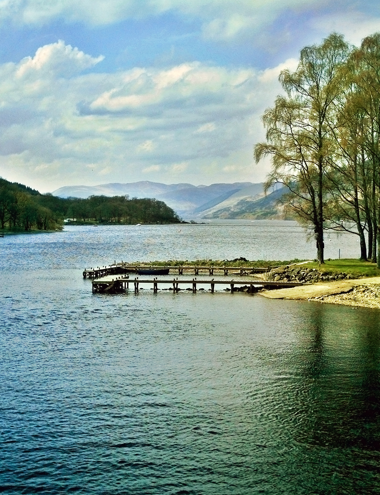
Loch Earn
Loch Earn (Scottish Gaelic, Loch Eire/Loch Éireann) is a freshwater loch in the southern highlands of Scotland, in the districts of Perth and Kinross and...
Nearby Amenities
Located within 500m of 56.39277,-4.2454185Have you been to Glen Beich?
Leave your review of Glen Beich below (or comments, questions and feedback).