Glaisdale Side

Settlement in Yorkshire Scarborough

England

Glaisdale Side

Glaisdale, opposite Plum Tree Farm This gatepost is on the north side of the Glaisdale valley road. The 2 gateways are almost opposite the entrance to Plum Tree Farm. There is a very clear benchmark cut into the central post.
Glaisdale, opposite Plum Tree Farm Credit: Mel Towler

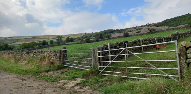
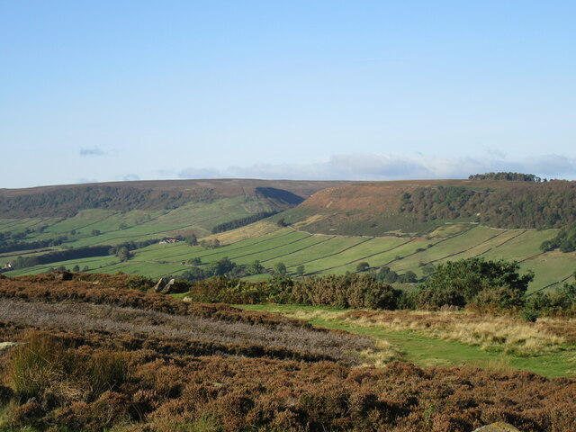
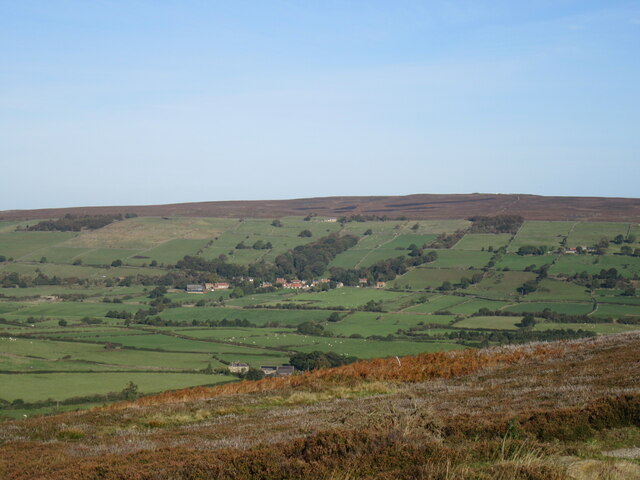
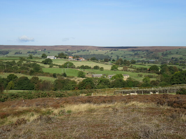
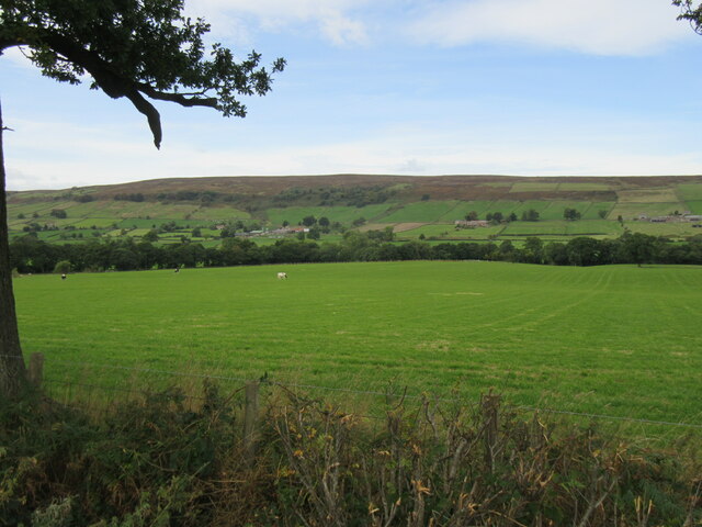
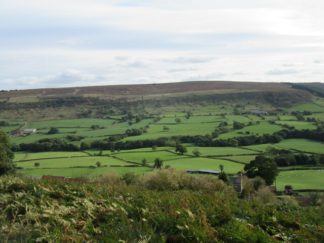
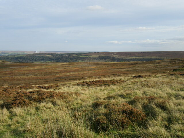
Glaisdale Side is a picturesque village located in the North Yorkshire Moors National Park, England. Situated on the southern slopes of Glaisdale Valley, it offers breathtaking views of the surrounding countryside. The village is nestled amidst rolling hills and lush green meadows, making it a popular destination for nature lovers and hikers.

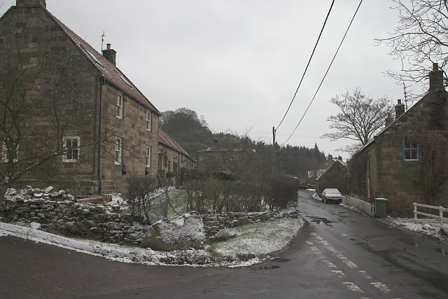
Historically, Glaisdale Side was a farming community, and remnants of this heritage can still be seen today. The village features charming stone cottages with well-manicured gardens, giving it a quaint and tranquil atmosphere. The local church, St. Thomas, is a prominent landmark and dates back to the 12th century, adding to the village's historical charm.

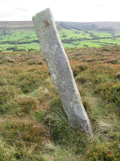
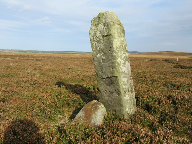
Glaisdale Side is also known for its thriving wildlife. The area is home to a variety of bird species, including the iconic red grouse and the elusive ring ouzel. Visitors can explore the nearby forests and moorlands, where they may spot other wildlife such as deer and rabbits.

For outdoor enthusiasts, Glaisdale Side offers numerous walking and cycling trails. One popular route is the Esk Valley Walk, which follows the River Esk and provides stunning views of the valley. The village is also located near the famous Coast to Coast Walk, attracting many long-distance hikers.

In terms of amenities, Glaisdale Side has a local pub that serves traditional Yorkshire dishes and ale, offering a warm and friendly atmosphere for locals and visitors alike. Overall, Glaisdale Side is a hidden gem in the Yorkshire countryside, providing a peaceful escape for those seeking natural beauty and rural charm.

If you have any feedback on the listing, please let us know in the comments section below.

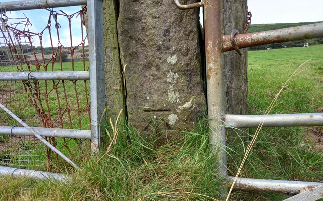
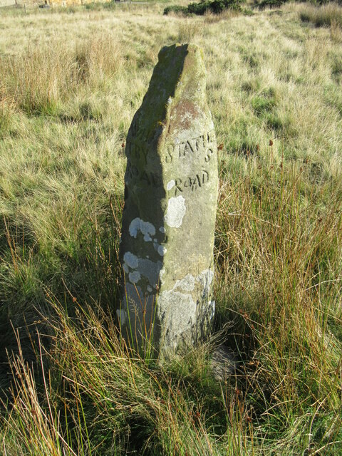
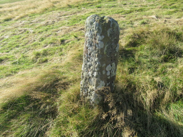
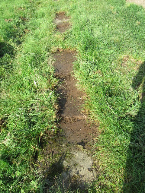
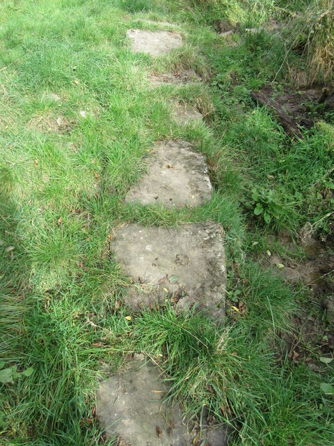
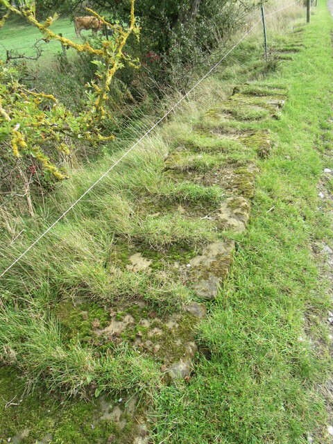
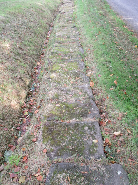
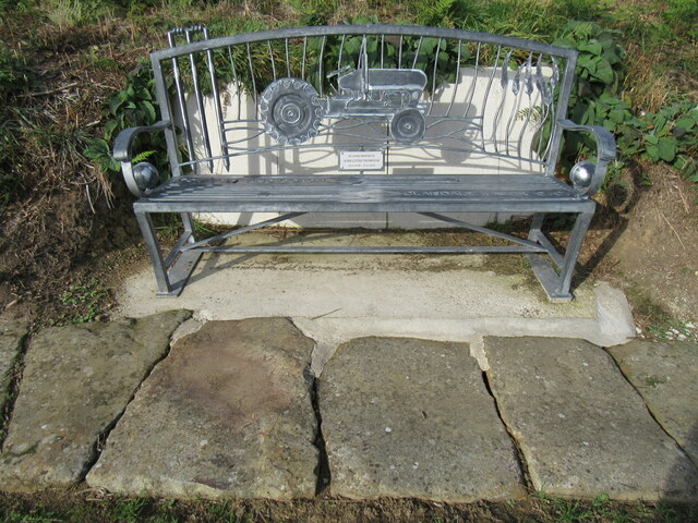
Glaisdale Side Images

Images are sourced within 2km of 54.429908/-0.82773346 or Grid Reference NZ7604. Thanks to Geograph Open Source API. All images are credited.

Glaisdale, opposite Plum Tree Farm This gatepost is on the north side of the Glaisdale valley road. The 2 gateways are almost opposite the entrance to Plum Tree Farm. There is a very clear benchmark cut into the central post.
Glaisdale, opposite Plum Tree Farm
This gatepost is on the north side of the Glaisdale valley road. The 2 gateways are almost opposite the entrance to Plum Tree Farm. There is a very clear benchmark cut into the central post.
Glaisdale, opposite Plum Tree Farm This double gate hole is on the north side of the Glaisdale valley road. The 2 gateways are almost opposite the entrance to Plum Tree Farm. There is a very clear benchmark cut into the central stone gatepost.
Glaisdale, opposite Plum Tree Farm
This double gate hole is on the north side of the Glaisdale valley road. The 2 gateways are almost opposite the entrance to Plum Tree Farm. There is a very clear benchmark cut into the central stone gatepost.
Shaw End view Looking SW from the road at Shaw End.
Shaw End view
Looking SW from the road at Shaw End.
Shaw End view 2 Looking NW towards Danby Beacon.
Shaw End view 2
Looking NW towards Danby Beacon.
Crossroads waymarker This stone has 'Staithes' 'Kirkby' Whitby' and 'Guisborough' carved into it.
Crossroads waymarker
This stone has 'Staithes' 'Kirkby' Whitby' and 'Guisborough' carved into it.
Near Swang Farm Looking NW.
Near Swang Farm
Looking NW.
Standing stone near Glaisdale Probably a waymarker stone as it is at a crossroads of paths.
Standing stone near Glaisdale
Probably a waymarker stone as it is at a crossroads of paths.
Stone trod near Red House On the bridleway near Red House, the grass peels back easily when it is wet.
Stone trod near Red House
On the bridleway near Red House, the grass peels back easily when it is wet.
Stone trod near Hart Hall The grass peeled back easily.
Stone trod near Hart Hall
The grass peeled back easily.
Stone trod near West Arncliffe Wood These stones were already uncovered.
Stone trod near West Arncliffe Wood
These stones were already uncovered.
Stone trod near new House Farm Stones near to New House Farm.
Stone trod near new House Farm
Stones near to New House Farm.
Near Low Gill Beck Farm Looking NW across Glaisdale.
Near Low Gill Beck Farm
Looking NW across Glaisdale.
Trod near Hollins Farm Stone trod on Glaisdale Side.
Trod near Hollins Farm
Stone trod on Glaisdale Side.
Memorial bench on Glaisdale Side With the stone trod in front of it.
Memorial bench on Glaisdale Side
With the stone trod in front of it.
View of Glaisdale Looking across Glaisdale from the track onto Glaisdale Rigg.
View of Glaisdale
Looking across Glaisdale from the track onto Glaisdale Rigg.
Standing stone above Glaisdale One of many standing stones in this area.
Standing stone above Glaisdale
One of many standing stones in this area.
Waymark stone on Glaisdale Rigg The waymark stone marks the route of a bridleway that is not visible on the ground.
Waymark stone on Glaisdale Rigg
The waymark stone marks the route of a bridleway that is not visible on the ground.
Glaisdale Rigg Looking NE across Glaisdale Rigg.
Glaisdale Rigg
Looking NE across Glaisdale Rigg.
Show me another place!

Glaisdale Side is located at Grid Ref: NZ7604 (Lat: 54.429908, Lng: -0.82773346)

Division: North Riding

Administrative County: North Yorkshire

District: Scarborough

Police Authority: North Yorkshire

What 3 Words

///tomato.scanning.irrigate. Near Danby, North Yorkshire

Nearby Locations

Glaisdale Side

Related Wikis

Glaisdale

Glaisdale is a village and civil parish in the Scarborough district of North Yorkshire, England, within the North York Moors National Park. It lies at...

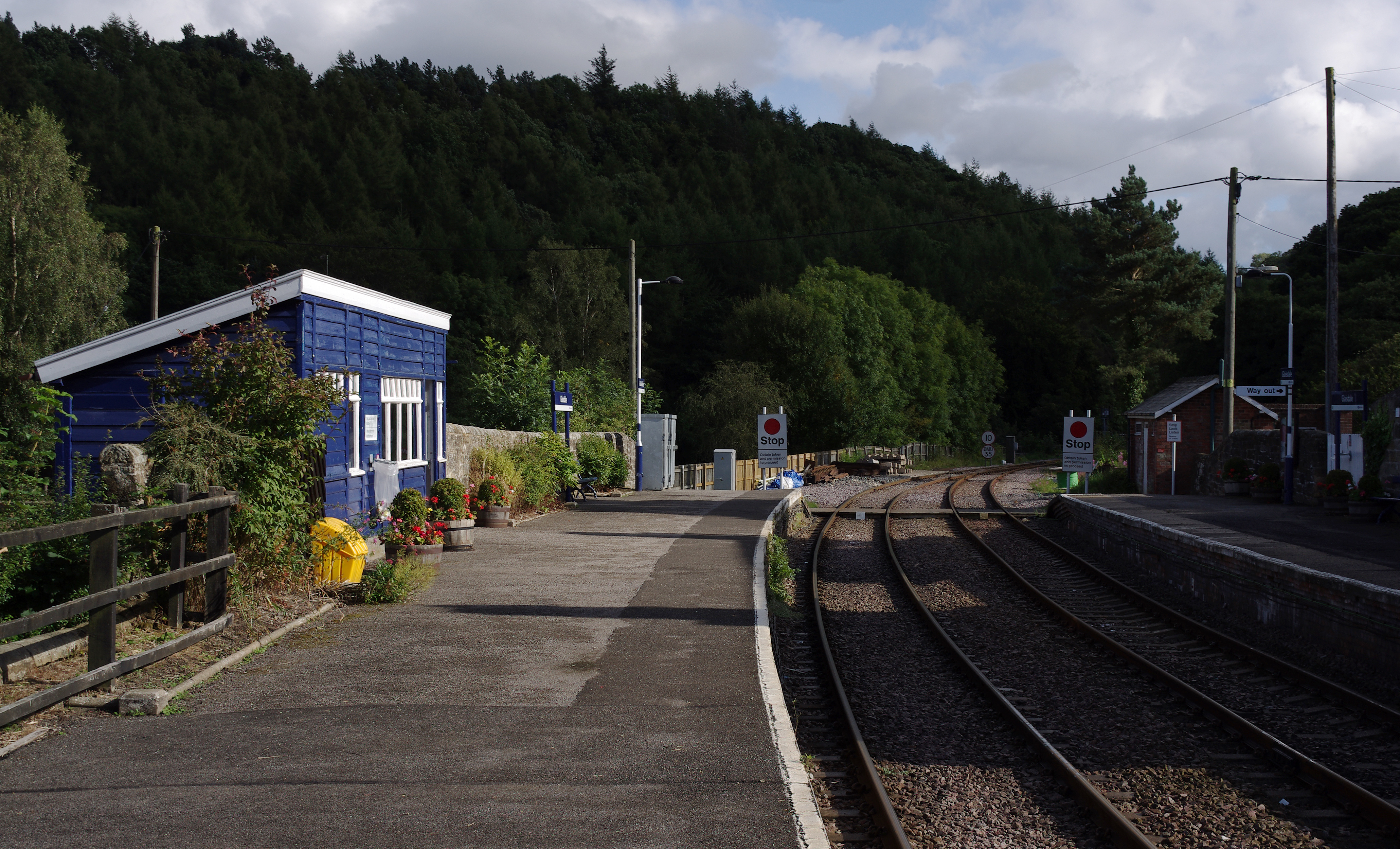
Glaisdale railway station

Glaisdale is a railway station on the Esk Valley Line, which runs between Middlesbrough and Whitby via Nunthorpe. The station, situated 9 miles 33 chains...

Lealholm

Lealholm is a small village in the Glaisdale civil parish of the Borough of Scarborough, in North Yorkshire, England. It is sited at a crossing point of...

Houlsyke

Houlsyke is a hamlet in the Glaisdale civil parish of the Borough of Scarborough, in North Yorkshire, England. It is situated between Danby and Lealholm...

Nearby Amenities

Located within 500m of 54.429908,-0.82773346
Barrier: cattle_grid
Source: Bing
Lat/Long: 54.4298741/-0.8265618
Note: Signage here suggests that bridleway used to run north from here, but sign at other end suggests that it now runs to the north
Lat/Long: 54.4305538/-0.8325385
Information: guidepost
Tourism: information
Lat/Long: 54.4292843/-0.8345022
Postgate Farm
Place: isolated_dwelling
Lat/Long: 54.4291048/-0.8314389
Rock Head Farm
Place: isolated_dwelling
Lat/Long: 54.4306646/-0.8206748
Post Gate Hill
Place: locality
Lat/Long: 54.431693/-0.8311818
Old School Cottage
Place: isolated_dwelling
Lat/Long: 54.4297393/-0.8283349
Brackenhurst
Place: isolated_dwelling
Lat/Long: 54.4306976/-0.8276632
Rock Head Cottage
Place: isolated_dwelling
Lat/Long: 54.4310418/-0.8242885
Fixme: I guess this stream that I saw from the path joins the OSSV one to the southeast?
Lat/Long: 54.4308235/-0.8345962
The data included in this document is from www.openstreetmap.org. The data is made available under ODbL.

Have you been to Glaisdale Side?

Leave your review of Glaisdale Side below (or comments, questions and feedback).