Girvan
Settlement in Ayrshire
Scotland
Girvan
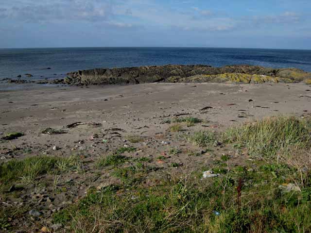
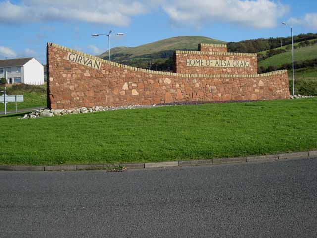
Girvan is a picturesque coastal town located in South Ayrshire, Scotland. Situated on the banks of the Firth of Clyde, it is approximately 21 miles south of Ayr and 29 miles north of Stranraer. The town is well-known for its stunning coastline, sandy beaches, and breathtaking views of the Ailsa Craig, an iconic volcanic rock formation in the Firth of Clyde.
With a population of around 6,500 residents, Girvan is a vibrant community with a rich history. The town's origins can be traced back to the 17th century when it developed as a fishing village. Today, fishing still plays a significant role in the local economy, along with tourism and agriculture.
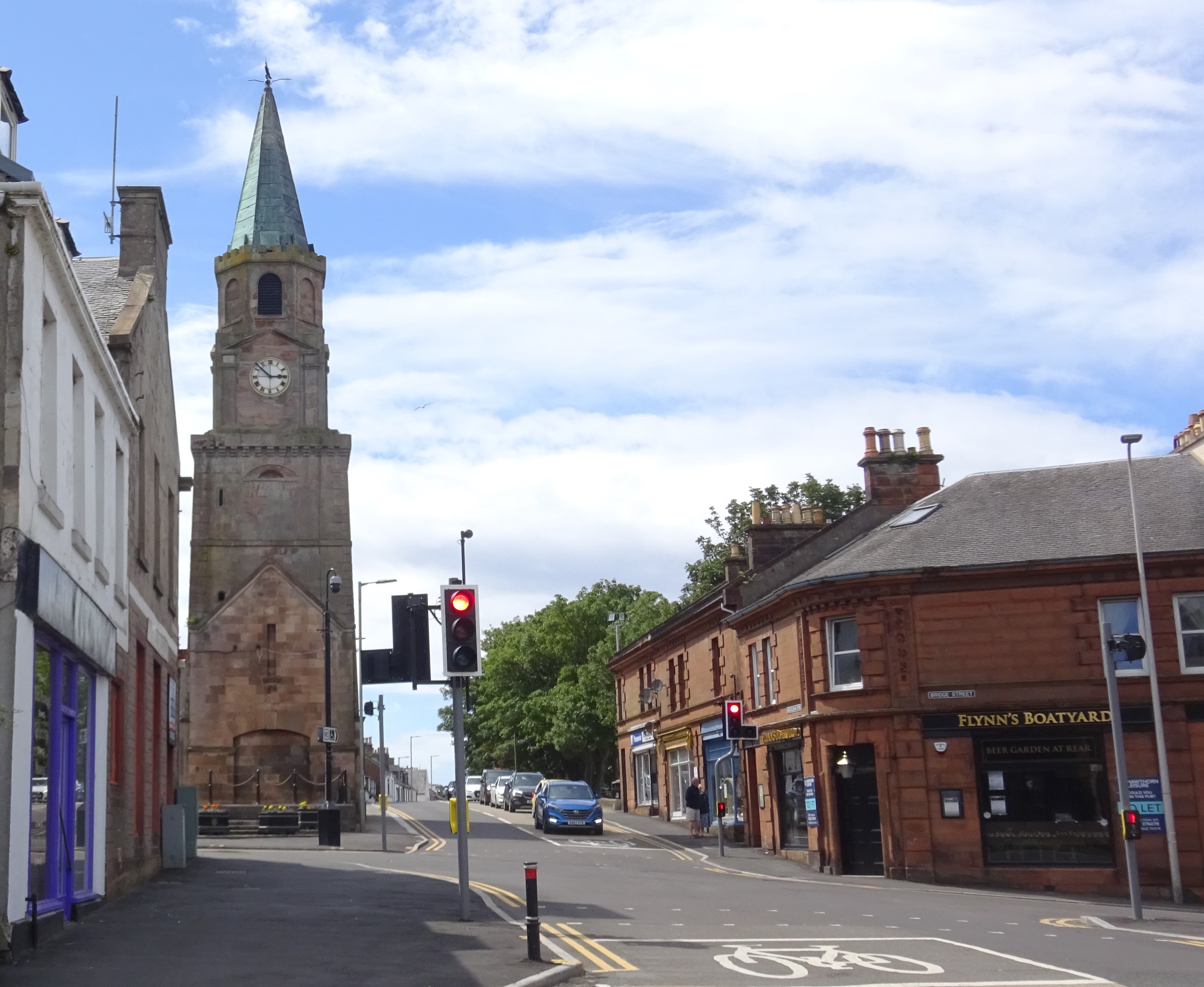
Girvan offers a range of amenities and attractions for visitors and locals alike. The town center features a variety of shops, cafes, and restaurants, catering to different tastes. The Auld Stumpy, a prominent clock tower, stands as a symbol of Girvan's heritage and acts as a focal point in the town.
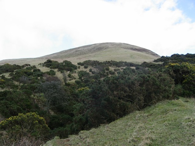
Outdoor enthusiasts can enjoy exploring the beautiful surrounding countryside, including the Carrick Forest and the rolling hills of the Galloway Forest Park. The area also offers opportunities for hiking, cycling, and golfing, with several courses in close proximity.
Girvan is well-connected by road and rail, making it easily accessible for visitors. The town hosts various events throughout the year, including the Girvan Traditional Folk Festival and the Girvan Half Marathon, attracting people from near and far.
In summary, Girvan is a charming coastal town in Ayrshire, Scotland, offering stunning natural scenery, a rich history, and a warm and welcoming community.
If you have any feedback on the listing, please let us know in the comments section below.
Girvan Images
Images are sourced within 2km of 55.242112/-4.8553184 or Grid Reference NX1897. Thanks to Geograph Open Source API. All images are credited.


Girvan is located at Grid Ref: NX1897 (Lat: 55.242112, Lng: -4.8553184)
Unitary Authority: South Ayrshire
Police Authority: Ayrshire
What 3 Words
///inversion.adventure.glorified. Near Girvan, South Ayrshire
Nearby Locations
Related Wikis

Girvan Steeple
The Girvan Steeple is a steeple and the site of a former townhouse in Girvan, South Ayrshire, Scotland. Its popular name, "Stumpy Tower", "Stumpy Jail...

West FM
West FM is an Independent Local Radio station based in Glasgow, Scotland, owned and operated by Bauer as part of the Hits Radio network. It broadcasts...
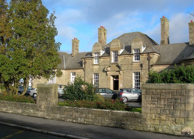
Davidson Hospital
The Davidson Hospital was a health facility in Girvan, South Ayrshire, Scotland. It was managed by NHS Ayrshire and Arran. It remains a Category B listed...
Girvan
Girvan (Scottish Gaelic: Inbhir Gharbhain, "mouth of the River Girvan") is a burgh and harbour town in Carrick, South Ayrshire, Scotland. Girvan is situated...

Girvan (old) railway station
Girvan Old railway station was a terminus station opened in Girvan, in Carrick, South Ayrshire, Scotland by the Maybole and Girvan Railway. Although ambitions...
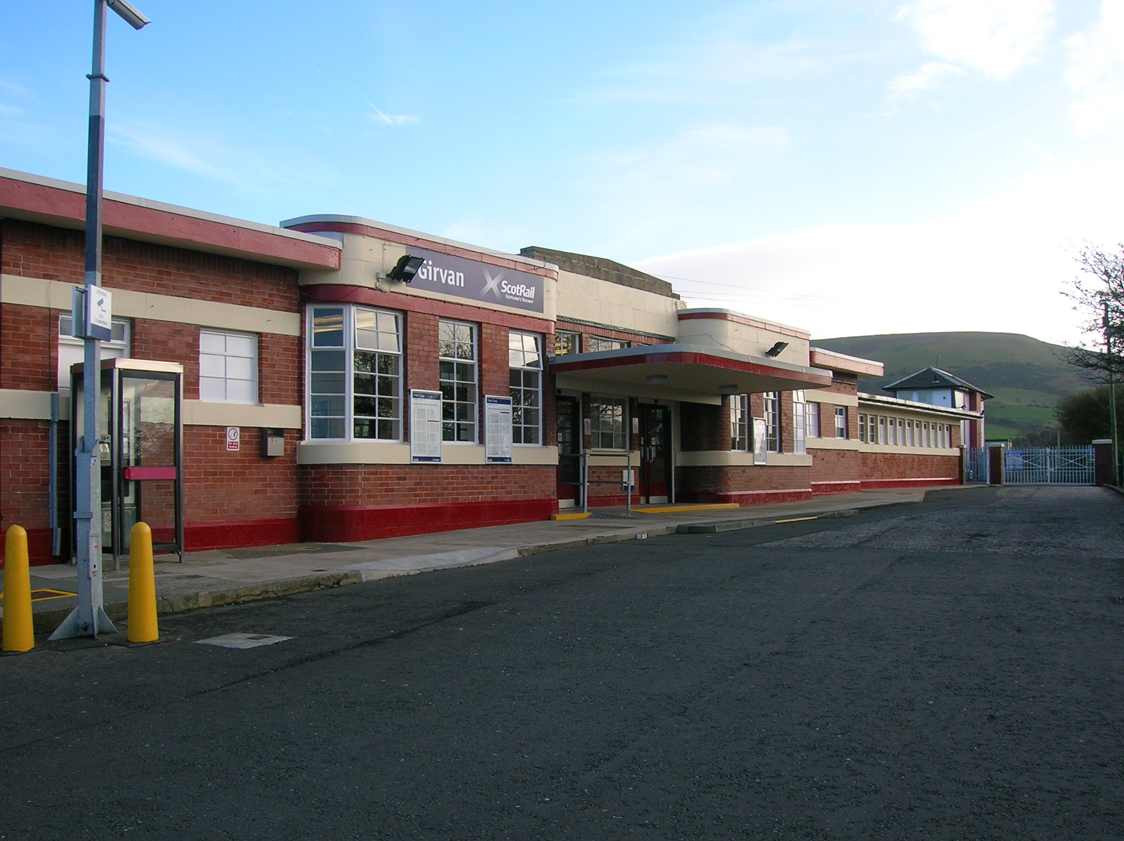
Girvan railway station
Girvan railway station is a railway station serving the town of Girvan, South Ayrshire, Scotland. The station is managed by ScotRail, who operate all passenger...
Ian Henderson (RAF officer)
Captain Ian Henry David Henderson (2 October 1896 – 21 June 1918) was a British World War I flying ace credited with seven aerial victories. == Biography... ==
Girvan F.C.
Girvan Football Club is a Scottish football club based in Girvan, South Ayrshire. Nicknamed the Seasiders, they were formed in 1947 and play at Hamilton...
Nearby Amenities
Located within 500m of 55.242112,-4.8553184Have you been to Girvan?
Leave your review of Girvan below (or comments, questions and feedback).