Girtford
Settlement in Bedfordshire
England
Girtford
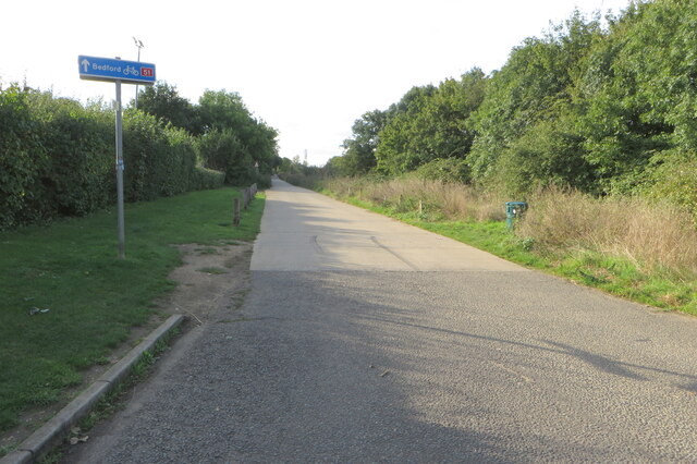
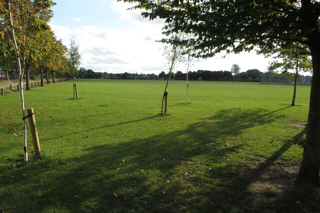
Girtford is a small village located in the county of Bedfordshire, England. It is situated approximately 3 miles south of the town of Sandy and 8 miles east of the county town of Bedford. The village is nestled in the picturesque Bedfordshire countryside, surrounded by rolling fields and farmland.
Girtford has a rich history, with evidence of human habitation dating back to the Roman era. The village's name is derived from the Old English words "gyrt" and "ford", meaning "enclosure by a ford". This suggests that the village was once a significant crossing point over the nearby River Ivel.
Today, Girtford is a quiet and close-knit community, with a population of around 600 residents. The village is primarily residential, consisting of a mix of traditional cottages and modern houses. There are also a few local businesses, including a village pub and a small convenience store.
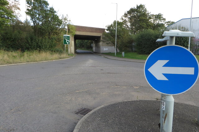
Despite its small size, Girtford benefits from its proximity to larger towns and cities. The nearby towns of Sandy and Bedford offer a wider range of amenities, including shopping centers, leisure facilities, and schools. The village is also well-connected by road, with easy access to the A1 and A421, providing convenient routes to London and the rest of the country.
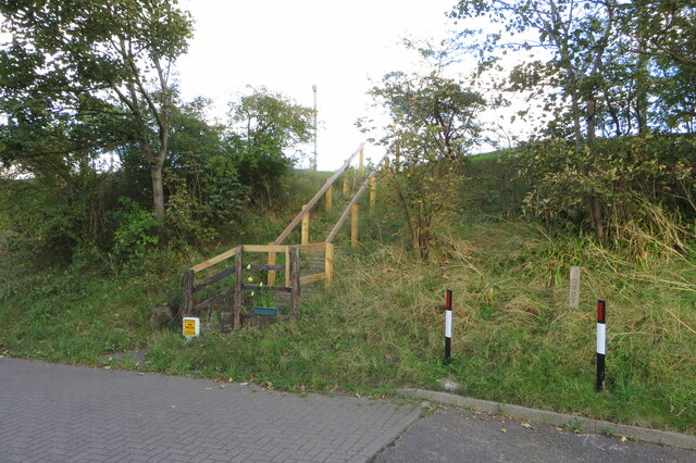
Nature enthusiasts will appreciate the village's rural setting, with plenty of opportunities for walking and exploring the surrounding countryside. Girtford is also close to the Greensand Ridge, a designated Area of Outstanding Natural Beauty, offering stunning views and diverse wildlife.
Overall, Girtford is a charming and peaceful village, providing a tranquil retreat for those seeking a slower pace of life while still enjoying the convenience of nearby towns and cities.
If you have any feedback on the listing, please let us know in the comments section below.
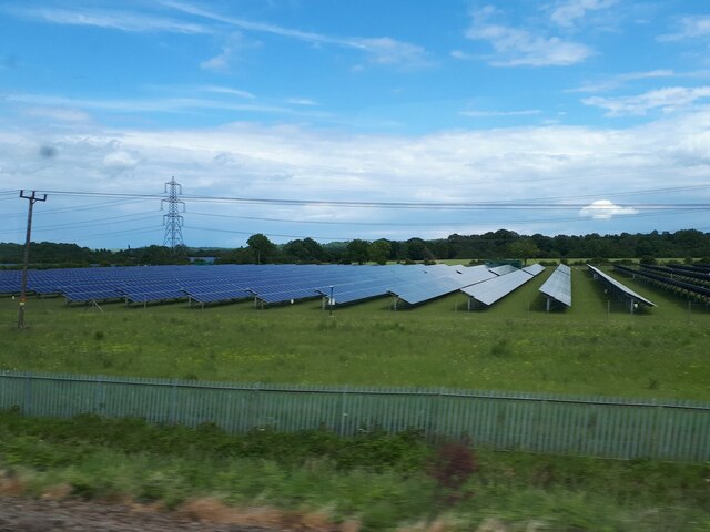
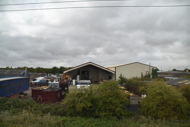
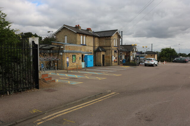
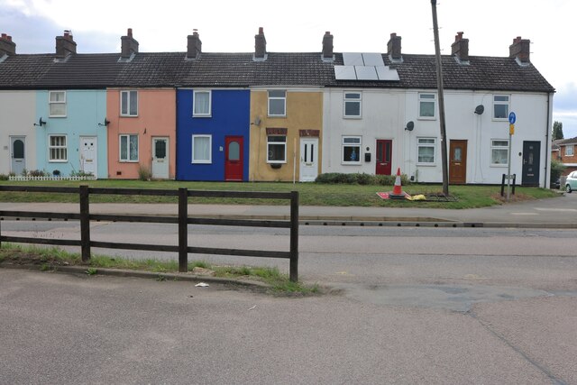
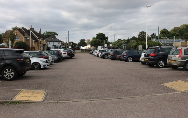
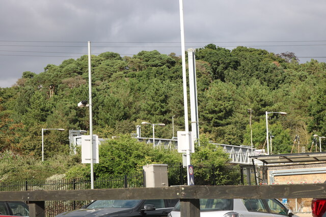
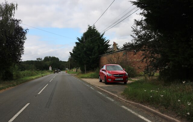
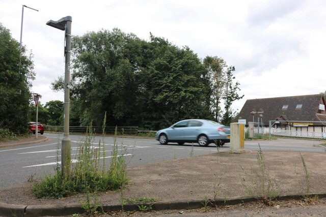
Girtford Images
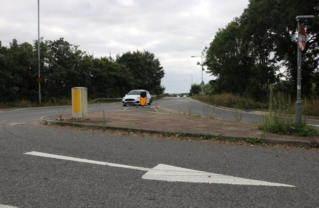
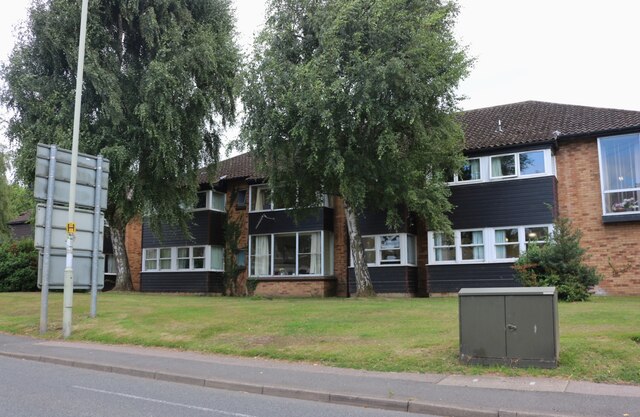
Images are sourced within 2km of 52.132945/-0.29446259 or Grid Reference TL1649. Thanks to Geograph Open Source API. All images are credited.
Girtford is located at Grid Ref: TL1649 (Lat: 52.132945, Lng: -0.29446259)
Unitary Authority: Central Bedfordshire
Police Authority: Bedfordshire
What 3 Words
///dude.strictest.scars. Near Sandy, Bedfordshire
Nearby Locations
Related Wikis
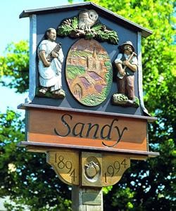
Sandy, Bedfordshire
Sandy is a town and civil parish in Central Bedfordshire, England. It lies 8 miles (13 km) to the east of Bedford, 18 miles (29 km) to the south west of...

Sandy Secondary School
Sandy Secondary School (formerly Sandy Upper School) is a coeducational secondary school, located in Sandy, Bedfordshire, England.The school educates 11...

Girtford Halt railway station
Girtford Halt was a short-lived railway halt on the Varsity Line which served the Girtford area of Sandy in Bedfordshire, England. It was opened by the...

The Riddy
The Riddy is an 8.4 hectare flood meadow and Local Nature Reserve located in Sandy, Bedfordshire, United Kingdom, bordering the River Ivel. Owned by Sandy...

Sandy railway station
Sandy railway station serves the town of Sandy in Bedfordshire, England. It is on the East Coast Main Line, about 44 miles (71 km) from London King's Cross...

Beeston, Bedfordshire
Beeston is a hamlet of about 530 acres (2.1 km2) in the town of Sandy in the Wixamtree hundred of the county of Bedfordshire, England, about a half a mile...

Blunham railway station
Blunham was a railway station on the Varsity Line which served the small village of the same name in Bedfordshire. Opened in 1862, the station was located...
Hatch, Bedfordshire
Hatch is a hamlet in the Central Bedfordshire district of Bedfordshire, England. It is located a little over a mile south-west of the market town of Sandy...
Nearby Amenities
Located within 500m of 52.132945,-0.29446259Have you been to Girtford?
Leave your review of Girtford below (or comments, questions and feedback).