Gillock

Settlement in Caithness

Scotland

Gillock

Loch Watten Shearer's Pot at the north end of the loch.
Loch Watten Credit: Peter Moore

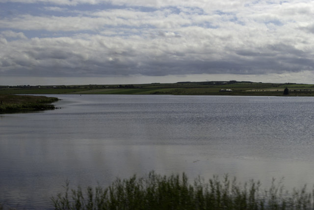
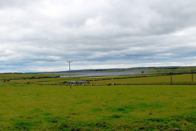
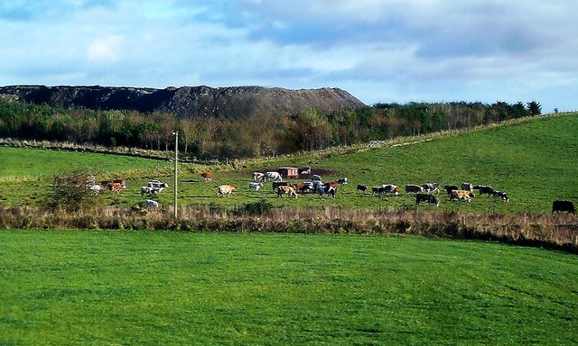
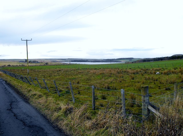
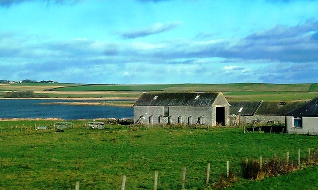
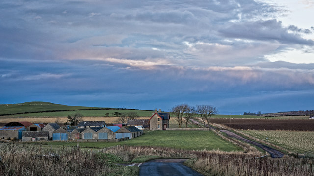
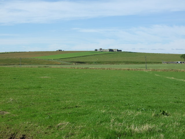
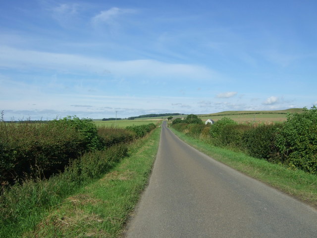
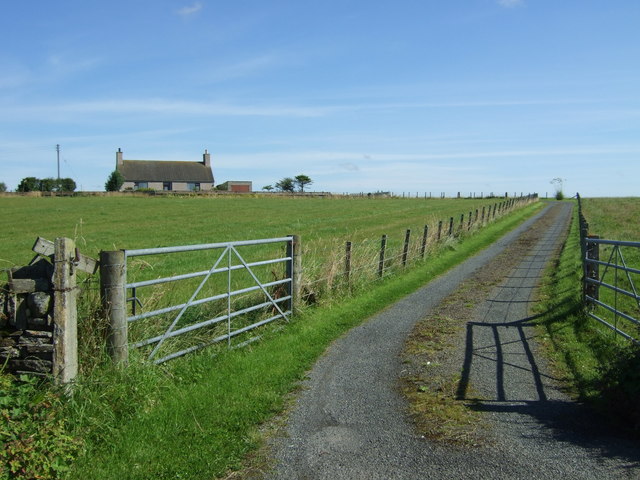
Gillock is a small village located in the county of Caithness, in the northernmost part of mainland Scotland. Situated about 7 miles east of the town of Thurso, it lies near the coast of the North Sea. The village is characterized by its picturesque setting, surrounded by rolling hills and stunning natural landscapes.

The population of Gillock is relatively small, with around 200 residents. The community primarily relies on agriculture and tourism as its main sources of income. The fertile land surrounding the village supports the growth of crops such as barley, oats, and potatoes, while livestock farming, particularly sheep farming, is also prevalent.

Historically, Gillock has been inhabited for centuries, with evidence of ancient settlements and burial sites in the area. The village boasts a rich cultural heritage, with several historic landmarks and sites of interest. The nearby remains of Castlehill Broch, an Iron Age fortified structure, attract visitors interested in archaeology and ancient history.

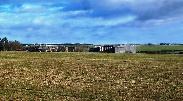
Despite its small size, Gillock offers a range of amenities to its residents and visitors. These include a local primary school, a community hall, and a small grocery shop. Outdoor enthusiasts can explore the surrounding countryside, enjoying activities such as hiking, birdwatching, and fishing in nearby rivers and lochs.

Overall, Gillock, Caithness, offers a peaceful and scenic retreat, combining the charm of a rural village with the beauty of the Scottish countryside.

If you have any feedback on the listing, please let us know in the comments section below.

Gillock Images

Images are sourced within 2km of 58.516734/-3.3556635 or Grid Reference ND2159. Thanks to Geograph Open Source API. All images are credited.
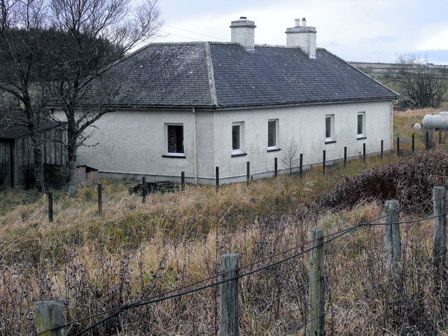
Loch Watten Shearer's Pot at the north end of the loch.
Loch Watten
Shearer's Pot at the north end of the loch.
Train to Wick Grazing land at Quoynee with a two coach train making for Wick near the site of one time Bower Station. Overhead H V electricity line is in shot and Loch Watten is in the background
Train to Wick
Grazing land at Quoynee with a two coach train making for Wick near the site of one time Bower Station. Overhead H V electricity line is in shot and Loch Watten is in the background
From Gillock to Brabsterdorran
Approaching site of Bower station on line from Wick, 1986 View westward, towards Georgemas Junction and the south: ex-Highland Railway (Far North line), Inverness - Dingwall - Georgemas Junction - Thurso/Wick. The line remains active, but the former station - just visible ahead - was closed from 13/6/60 (goods 18/5/64).
Viewpoint is from the road bridge over the railway, and the hill and workings on the right are part of the Bower (stone) Quarry.
Approaching site of Bower station on line from Wick, 1986
View westward, towards Georgemas Junction and the south: ex-Highland Railway (Far North line), Inverness - Dingwall - Georgemas Junction - Thurso/Wick. The line remains active, but the former station - just visible ahead - was closed from 13/6/60 (goods 18/5/64). Viewpoint is from the road bridge over the railway, and the hill and workings on the right are part of the Bower (stone) Quarry.
Towards Bower Quarry This stone quarry lies amid good arable land. Viewed from a passing train on a fine late-October day.
Towards Bower Quarry
This stone quarry lies amid good arable land. Viewed from a passing train on a fine late-October day.
Quoynee Farm Farm buildings and arable land viewed from a passing train on a fine late-October day.
Quoynee Farm
Farm buildings and arable land viewed from a passing train on a fine late-October day.
Loch Watten Reed Bed This area of reed bed lies at the northern end of Loch Watten. A quick glimpse  from a passing train on a fine late-October day.
Loch Watten Reed Bed
This area of reed bed lies at the northern end of Loch Watten. A quick glimpse from a passing train on a fine late-October day.
Railway line between Bower and Watten Looking towards Wick.
Railway line between Bower and Watten
Looking towards Wick.
Loch Scaramclete Taken from near the old Bower Railway Station
Loch Scaramclete
Taken from near the old Bower Railway Station
Ex Bower Railway Station Building Hardly recognisable as such, but this was the Bower Station Building and Stationmaster's House. The station was closed in 1960 (see <span class="nowrap"><a title="http://en.wikipedia.org/wiki/Bower_railway_station" rel="nofollow ugc noopener" href="http://en.wikipedia.org/wiki/Bower_railway_station">Link</a><img style="margin-left:2px;" alt="External link" title="External link - shift click to open in new window" src="https://s1.geograph.org.uk/img/external.png" width="10" height="10"/></span> ).
Ex Bower Railway Station Building
Hardly recognisable as such, but this was the Bower Station Building and Stationmaster's House. The station was closed in 1960 (see LinkExternal link ).
Approaching Bloodyquoys A quick glimpse of Bloodyquoys Farm viewed from a passing train on a fine late-October day with Loch Scarmclate in the background.
Approaching Bloodyquoys
A quick glimpse of Bloodyquoys Farm viewed from a passing train on a fine late-October day with Loch Scarmclate in the background.
Bower railway station (site), Highland Opened in 1874 on the Highland Railway's line from Dingwall to Wick, this station closed to passengers in 1960. It is now a private residence.
View west towards Georgemas Junction and Dingwall. The single platform was just in front of the building.
Bower railway station (site), Highland
Opened in 1874 on the Highland Railway's line from Dingwall to Wick, this station closed to passengers in 1960. It is now a private residence. View west towards Georgemas Junction and Dingwall. The single platform was just in front of the building.
Gillock, Old Post Office The old Post Office house at Gillock showing the EviiR postbox [KW1 48]
Gillock, Old Post Office
The old Post Office house at Gillock showing the EviiR postbox [KW1 48]
Corsback Victorian postbox at Corsback [KW1 42]
Corsback
Victorian postbox at Corsback [KW1 42]
Milton Farm - Bad Weather approaching
Farmland off the B874 Scarmclate on the hill in the distance.
Farmland off the B874
Scarmclate on the hill in the distance.
B874, Corsback Looking north west.
B874, Corsback
Looking north west.
Track to Field House Off the B874.
Track to Field House
Off the B874.
Show me another place!

Gillock is located at Grid Ref: ND2159 (Lat: 58.516734, Lng: -3.3556635)

Unitary Authority: Highland

Police Authority: Highlands and Islands

What 3 Words

///limiting.retrain.mows. Near Halkirk, Highland

Nearby Locations

Gillock

Related Wikis

Gillock

Gillock is a small village in Caithness, the north part of the Highland council area of Scotland. It is 262 miles north of Edinburgh, situated between...

Bower railway station

Bower was a railway station located near Loch Scarmclate, Highland between Halkirk and Wick. The station opened on 28 July 1874. It was one of a number...

Brabsterdorran

Brabsterdorran is an area of the civil parish of Bower in Highland, Scotland. Buildings include Bower Community Hall and the Old Free Church Manse, previously...
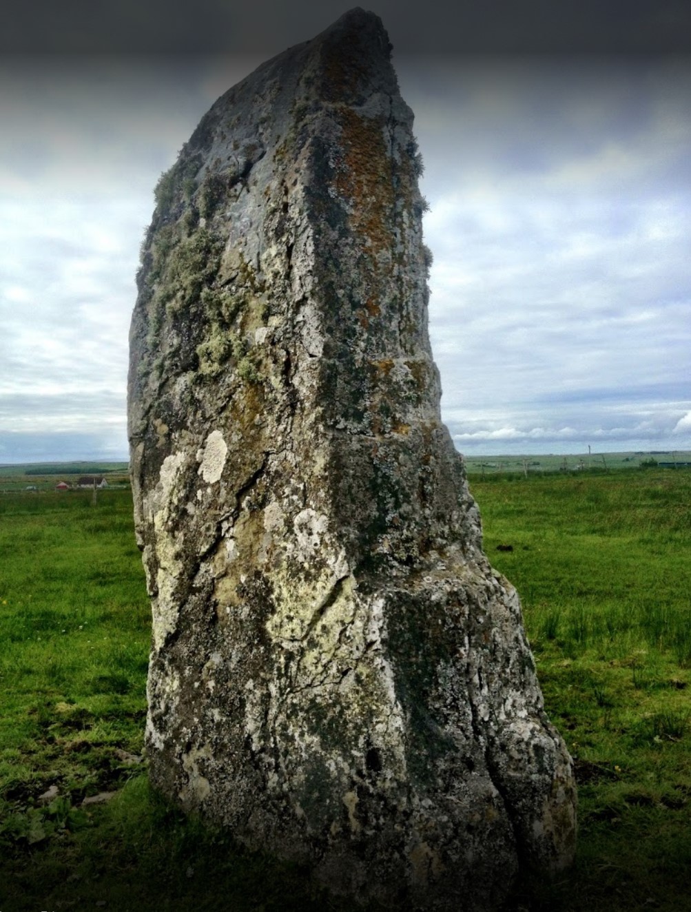
Stone Lud

The Stone Lud is a standing stone in the parish of Bower in Caithness, in the Highland area of Scotland. It is located and about 7 kilometres (4.3 mi)...

Nearby Amenities

Located within 500m of 58.516734,-3.3556635
Post Box
Post Box Type: wall
Postal Code: KW1
Ref: KW1 48
Royal Cypher: EVIIR
Royal Cypher Wikidata: Q33102324
Lat/Long: 58.5162615/-3.3543232
Gillock
Place: hamlet
Lat/Long: 58.5155191/-3.3537682
Telephone
Booth: K6
Covered: booth
Lat/Long: 58.516226/-3.3542099
Power: pole
Lat/Long: 58.5181114/-3.3636376
Power: pole
Lat/Long: 58.5185596/-3.3624333
Power: pole
Lat/Long: 58.5190303/-3.3611941
Power: pole
Lat/Long: 58.5194911/-3.359971
Power: pole
Lat/Long: 58.5199463/-3.3587399
Power: pole
Lat/Long: 58.5204197/-3.3575195
Power: pole
Lat/Long: 58.5208693/-3.3562776
Power: pole
Lat/Long: 58.512585/-3.3528738
Power: pole
Lat/Long: 58.513024/-3.3518383
Power: pole
Lat/Long: 58.5133475/-3.3510708
Power: pole
Lat/Long: 58.513725/-3.3502039
Power: pole
Lat/Long: 58.5140643/-3.3494018
Power: pole
Lat/Long: 58.5145967/-3.3488922
Power: pole
Lat/Long: 58.5151439/-3.3483765
Power: pole
Lat/Long: 58.5156783/-3.3478811
Power: pole
Lat/Long: 58.5161873/-3.3473938
Power: pole
Lat/Long: 58.5134996/-3.3530856
Power: pole
Lat/Long: 58.5138264/-3.3539352
Power: pole
Lat/Long: 58.5145252/-3.3558017
Power: pole
Lat/Long: 58.5150647/-3.35718
Power: pole
Lat/Long: 58.5155831/-3.3585421
Power: pole
Lat/Long: 58.5161367/-3.3600255
Power: pole
Lat/Long: 58.5166973/-3.361509
Power: pole
Lat/Long: 58.5172763/-3.3630114
The data included in this document is from www.openstreetmap.org. The data is made available under ODbL.

Have you been to Gillock?

Leave your review of Gillock below (or comments, questions and feedback).