Gilcar

Settlement in Yorkshire

England

Gilcar

Railway bridge over the River Calder Carrying the Methley Junction to Whitwood Junction curve over the river.
Railway bridge over the River Calder Credit: DS Pugh

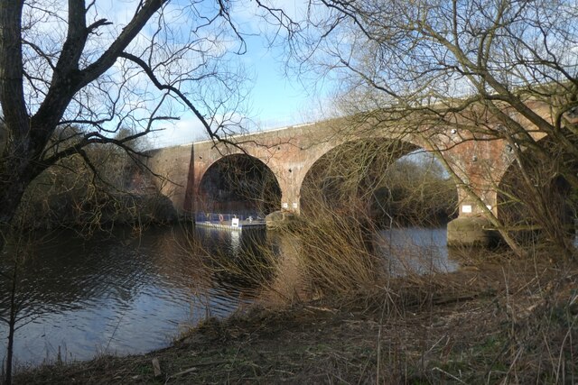
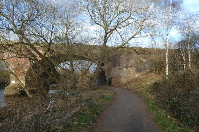
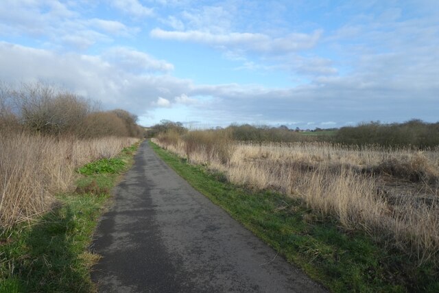
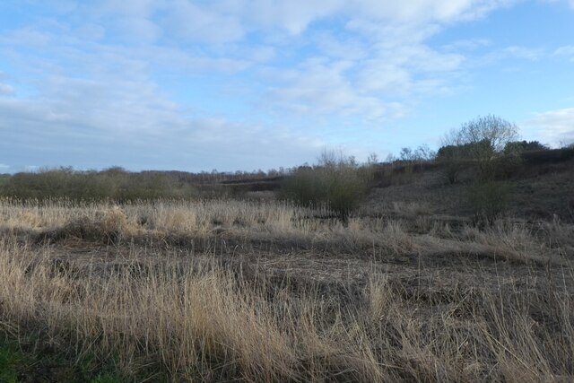
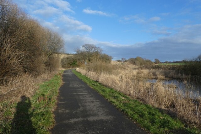
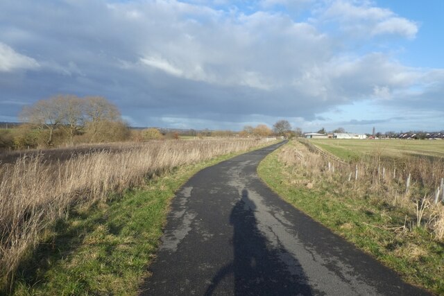
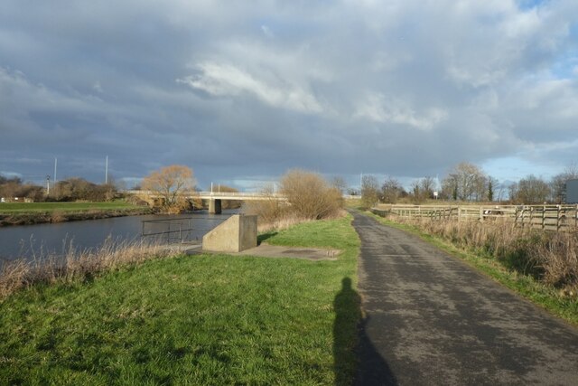
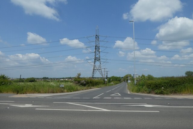
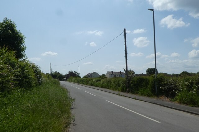
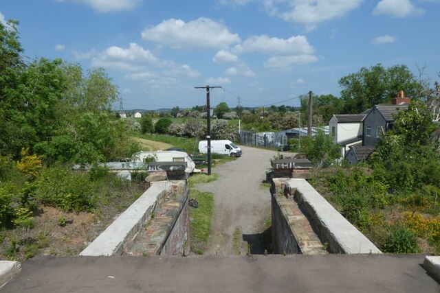
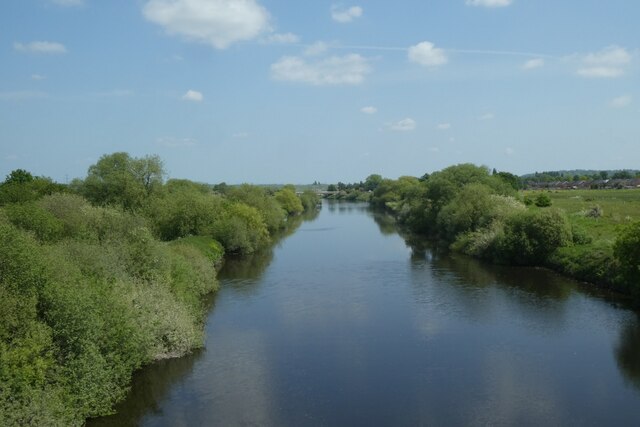
Gilcar is a small village located in Yorkshire, England. It is situated in the Kirklees district, near the towns of Huddersfield and Dewsbury. The village is known for its picturesque countryside, with rolling hills and lush green fields surrounding the area.

Gilcar has a close-knit community, with a population of around 500 residents. The village is primarily residential, with a few small shops and amenities serving the local population. There is a primary school located in the village, providing education for the children of Gilcar and the surrounding areas.

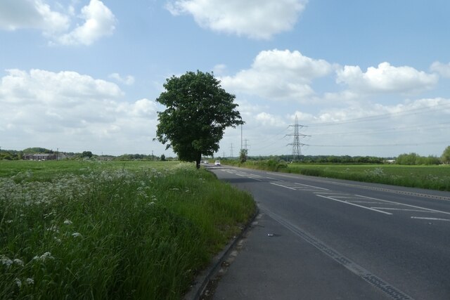
The village is well-connected by road, with easy access to the nearby towns and cities. Public transportation is also available, with regular bus services running through Gilcar.

Overall, Gilcar offers a quiet and peaceful lifestyle for its residents, with a strong sense of community and a beautiful natural setting. It is a popular destination for those looking to escape the hustle and bustle of city life and enjoy the tranquility of the Yorkshire countryside.

If you have any feedback on the listing, please let us know in the comments section below.
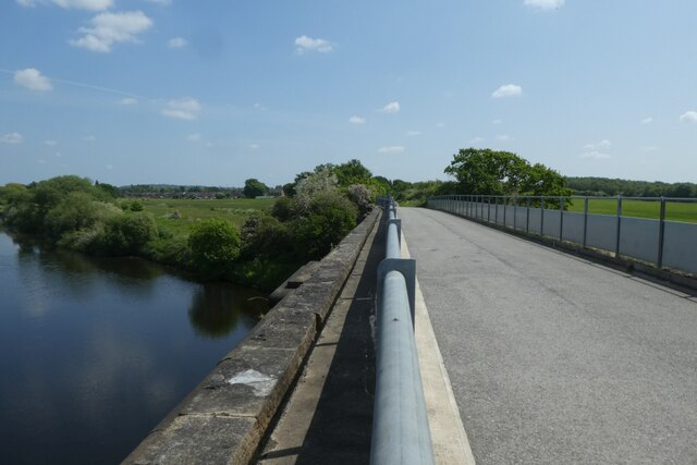
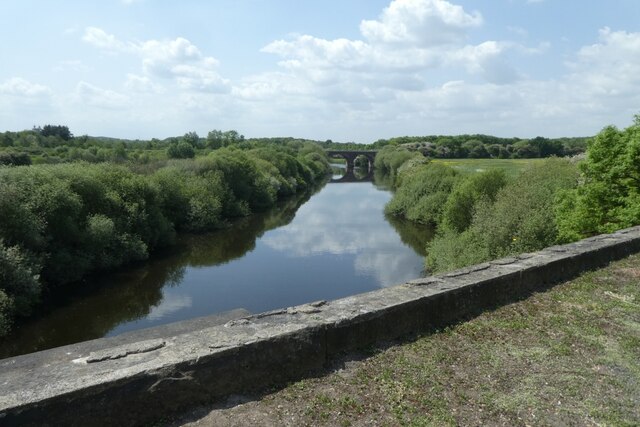
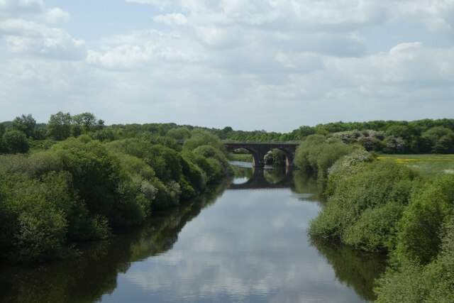
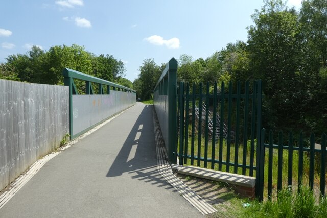
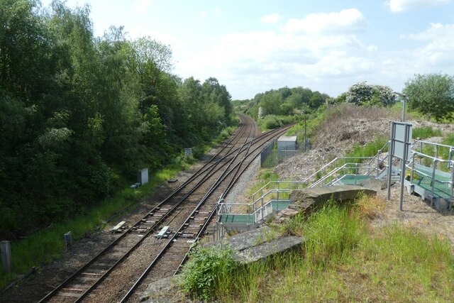
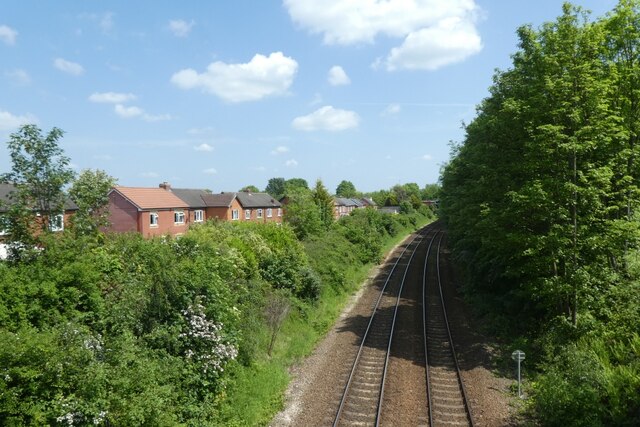
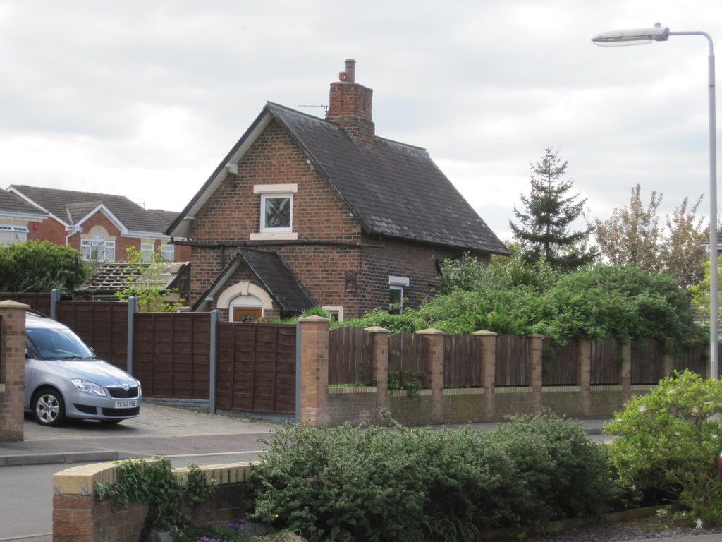
Gilcar Images

Images are sourced within 2km of 53.713726/-1.4005085 or Grid Reference SE3924. Thanks to Geograph Open Source API. All images are credited.

Railway bridge over the River Calder Carrying the Methley Junction to Whitwood Junction curve over the river.
Railway bridge over the River Calder
Carrying the Methley Junction to Whitwood Junction curve over the river.
Towpath and rail bridge The bridge carries the Methley Junction to Whitwood Junction curve over the river and towpath.
Towpath and rail bridge
The bridge carries the Methley Junction to Whitwood Junction curve over the river and towpath.
Path east of a rail bridge Looking along a cycle path on the south side of the River Calder.
Path east of a rail bridge
Looking along a cycle path on the south side of the River Calder.
Towards the railway embankment Carrying the Methley Junction to Whitwood Junction curve having crossed the River Calder.
Towards the railway embankment
Carrying the Methley Junction to Whitwood Junction curve having crossed the River Calder.
Path approaching a former railway Ahead is a bridge which once carried a railway line between Methley Junction and the Castleford to Pontefract Monkhill line.
Path approaching a former railway
Ahead is a bridge which once carried a railway line between Methley Junction and the Castleford to Pontefract Monkhill line.
Route 69 near a junction of paths Behind the camera is the former railway line between Methley Junction and the Castleford to Pontefract Monkhill line which has been converted to a cycle path. The path ahead follows the River Calder.
Route 69 near a junction of paths
Behind the camera is the former railway line between Methley Junction and the Castleford to Pontefract Monkhill line which has been converted to a cycle path. The path ahead follows the River Calder.
River Calder approaching Barnsdale Road Bridge Looking along the towpath which forms part of National Cycle Network route 69.
River Calder approaching Barnsdale Road Bridge
Looking along the towpath which forms part of National Cycle Network route 69.
A639 Barnsdale Road Looking west along Barnsdale Road towards Methley.
A639 Barnsdale Road
Looking west along Barnsdale Road towards Methley.
Pinfold Lane Looking onto Pinfold Lane from Barnsdale Road.
Pinfold Lane
Looking onto Pinfold Lane from Barnsdale Road.
Low Common Low Common viewed from Barnsdale Road.
Low Common
Low Common viewed from Barnsdale Road.
Looking down from a former railway bridge The former railway is now a path bethween Methley Junction and Glasshoughton.
Looking down from a former railway bridge
The former railway is now a path bethween Methley Junction and Glasshoughton.
Downstream from a former railway bridge Crossing the River Calder on a former railway line between Glasshoughton and Methley Junction.
Downstream from a former railway bridge
Crossing the River Calder on a former railway line between Glasshoughton and Methley Junction.
Bridge over the River Calder Crossing the River Calder on a former railway line between Glasshoughton and Methley Junction.
Bridge over the River Calder
Crossing the River Calder on a former railway line between Glasshoughton and Methley Junction.
Upstream from a former railway bridge Crossing the River Calder on a former railway line between Glasshoughton and Methley Junction.
Upstream from a former railway bridge
Crossing the River Calder on a former railway line between Glasshoughton and Methley Junction.
Current railway bridge from a former bridge Crossing the River Calder on a former railway line between Glasshoughton and Methley Junction and looking upstream. The bridge in view carries the North to East curve of Methley Junction between Castleford and Woodlesford.
Current railway bridge from a former bridge
Crossing the River Calder on a former railway line between Glasshoughton and Methley Junction and looking upstream. The bridge in view carries the North to East curve of Methley Junction between Castleford and Woodlesford.
Bridge over the railway lines at Whitwood Junction The path uses the former railway line between Glasshoughton and Methley Junction and is crossing over Whitwood Junction.
Bridge over the railway lines at Whitwood Junction
The path uses the former railway line between Glasshoughton and Methley Junction and is crossing over Whitwood Junction.
Whitwood Junction Looking down from a path along the former railway line between Glasshoughton and Methley Junction. Ahead the lines diverge, with the left hand being the Normanton lines and the right hand the Methley lines.
Whitwood Junction
Looking down from a path along the former railway line between Glasshoughton and Methley Junction. Ahead the lines diverge, with the left hand being the Normanton lines and the right hand the Methley lines.
Railway lines towards Castleford Crossing Whitwood Junction on a path along the former railway line between Glasshoughton and Methley Junction. The lines below head to Castleford.
Railway lines towards Castleford
Crossing Whitwood Junction on a path along the former railway line between Glasshoughton and Methley Junction. The lines below head to Castleford.
Show me another place!

Gilcar is located at Grid Ref: SE3924 (Lat: 53.713726, Lng: -1.4005085)

Division: West Riding

Unitary Authority: Wakefield

Police Authority: West Yorkshire

What 3 Words

///buckling.reminds.armed. Near Normanton, West Yorkshire

Related Wikis

Wakefield Europort

Wakefield Europort is a rail-connected warehousing and industrial estate located to the northeast of Wakefield at junction 31 of the M62 motorway in West...

Altofts railway station

Altofts railway station served the village of Altofts near Normanton in the English county of West Yorkshire. It was opened in 1870 as Altofts and Whitwood...

Methley South railway station

Methley South railway station was one of three stations that served the village of Methley, West Yorkshire, England. The station was built by the Methley...

Methley Junction railway station

Methley Junction railway station was one of three stations that served the village of Methley, West Yorkshire, England. It opened on 1 October 1849 and...

Nearby Amenities

Located within 500m of 53.713726,-1.4005085
Bus Stop
Whitwood Lane Altofts Lane
Bus: yes
Local Ref: 45015587
Naptan AtcoCode: 450015587
Naptan Bearing: SW
Naptan CommonName: Whitwood Lane Altofts Lane
Naptan Crossing: Adj Altofts Lane
Naptan Indicator: Stop 45015587
Naptan Landmark: Wheatshear PH
Naptan PlusbusZoneRef: LEEDS
Naptan ShortCommonName: Wheatsheaf Inn
Naptan Street: Whitwood Lane
Naptan Verified: no
Public Transport: platform
Source: naptan_import
Lat/Long: 53.7160607/-1.3966165
Bus Stop
Whitwood Lane Altofts Lane
Bus: yes
Local Ref: 45015588
Naptan AtcoCode: 450015588
Naptan Bearing: NE
Naptan CommonName: Whitwood Lane Altofts Lane
Naptan Crossing: Adj Altofts Lane
Naptan Indicator: Stop 45015588
Naptan Landmark: Wheatsheaf PH
Naptan PlusbusZoneRef: LEEDS
Naptan ShortCommonName: Wheatsheaf Inn
Naptan Street: Whitwood Lane
Naptan Verified: no
Public Transport: platform
Source: naptan_import
Lat/Long: 53.7162309/-1.396508
Bus Stop
California Drive Whitwood Lane
Bus: yes
Local Ref: 45015592
Naptan AtcoCode: 450015592
Naptan Bearing: NE
Naptan CommonName: California Drive Whitwood Lane
Naptan Crossing: Nr-At Whitwood Lane (Whitwood End)
Naptan Indicator: Stop 45015592
Naptan Landmark: Factory
Naptan PlusbusZoneRef: LEEDS
Naptan ShortCommonName: California Drive
Naptan Street: California Drive
Naptan Verified: no
Public Transport: platform
Source: naptan_import
Lat/Long: 53.7151244/-1.3963269
Bus Stop
California Drive Mill Lane
Bus: yes
Local Ref: 45015593
Naptan AtcoCode: 450015593
Naptan Bearing: NE
Naptan CommonName: California Drive Mill Lane
Naptan Crossing: Mill Lane
Naptan Indicator: Stop 45015593
Naptan Landmark: Whitwood Freight Centre
Naptan PlusbusZoneRef: LEEDS
Naptan ShortCommonName: California Drive
Naptan Street: California Drive
Naptan Verified: no
Public Transport: platform
Source: naptan_import
Lat/Long: 53.7133743/-1.3986399
Bus Stop
Pope Street Express Way
Bus: yes
Naptan AtcoCode: 450015894
Naptan Bearing: E
Naptan CommonName: Pope Street Express Way
Naptan Crossing: Express Way
Naptan Landmark: Unknown
Naptan ShortCommonName: Express Way
Naptan Street: Pope Street
Naptan Verified: no
Public Transport: platform
Source: naptan_import
Lat/Long: 53.7152873/-1.4073557
Bus Stop
Altofts Lane Pope Street
Bus: yes
Local Ref: 45024012
Naptan AtcoCode: 450024012
Naptan Bearing: E
Naptan CommonName: Altofts Lane Pope Street
Naptan Crossing: Pope Street
Naptan Indicator: Stop 45024012
Naptan Landmark: Freight Terminal - At Choke Churl Bridge
Naptan PlusbusZoneRef: LEEDS
Naptan ShortCommonName: Express Way
Naptan Street: Altofts Lane
Naptan Verified: no
Public Transport: platform
Source: naptan_import
Lat/Long: 53.7157304/-1.4042734
Bus Stop
Altofts Lane Pope Street
Bus: yes
Local Ref: 45025694
Naptan AtcoCode: 450025694
Naptan Bearing: W
Naptan CommonName: Altofts Lane Pope Street
Naptan Crossing: Pope Street
Naptan Indicator: Stop 45025694
Naptan Landmark: Choke Churl Bridge
Naptan PlusbusZoneRef: LEEDS
Naptan ShortCommonName: Pope Street
Naptan Street: Altofts Lane
Naptan Verified: no
Public Transport: platform
Source: naptan_import
Lat/Long: 53.7156248/-1.4047295
California Drive Whitwood
Local Ref: 45050316
Naptan AtcoCode: 450050316
Naptan Bearing: SW
Naptan BusStopType: CUS
Naptan CommonName: California Drive Whitwood
Naptan Indicator: Stop 45050316
Naptan PlusbusZoneRef: LEEDS
Naptan ShortCommonName: Whitwood Lane
Naptan Street: California Drive
Naptan Verified: no
Source: naptan_import
Lat/Long: 53.715043/-1.396222
Bus Stop
California Drive Whitwood
Bus: yes
Local Ref: 45050317
Naptan AtcoCode: 450050317
Naptan Bearing: SW
Naptan BusStopType: CUS
Naptan CommonName: California Drive Whitwood
Naptan Indicator: Stop 45050317
Naptan PlusbusZoneRef: LEEDS
Naptan ShortCommonName: Express Way
Naptan Street: California Drive
Naptan Verified: no
Public Transport: platform
Source: naptan_import
Lat/Long: 53.7133107/-1.3985044
Railway: switch
Lat/Long: 53.7139893/-1.4061591
Railway: switch
Lat/Long: 53.7140527/-1.4057304
Railway: switch
Lat/Long: 53.7141095/-1.4053102
Railway: buffer_stop
Lat/Long: 53.7142029/-1.4049717
Railway: switch
Lat/Long: 53.7142997/-1.40401
Railway: switch
Lat/Long: 53.7143598/-1.4037393
Railway: switch
Lat/Long: 53.7144416/-1.4031724
Railway: switch
Lat/Long: 53.714475/-1.4032034
Railway: switch
Lat/Long: 53.7157568/-1.3973428
Railway: buffer_stop
Lat/Long: 53.7159438/-1.3966885
Barrier: lift_gate
Lat/Long: 53.7109928/-1.3968608
Crossing
Crossing: marked
Crossing Island: no
Tactile Paving: no
Lat/Long: 53.7146073/-1.3961323
Crossing
Crossing: marked
Crossing Island: no
Tactile Paving: no
Lat/Long: 53.7142394/-1.3960545
Crossing
Crossing: marked
Lat/Long: 53.7144844/-1.3962473
Crossing
Crossing: marked
Lat/Long: 53.7146289/-1.3959952
The data included in this document is from www.openstreetmap.org. The data is made available under ODbL.

Have you been to Gilcar?

Leave your review of Gilcar below (or comments, questions and feedback).