Gilbury Hard
Settlement in Hampshire New Forest
England
Gilbury Hard
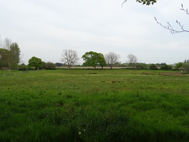
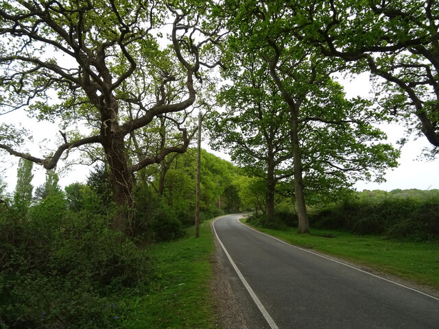
Gilbury Hard is a small village located in the county of Hampshire, England. Situated in the southern region of the country, it lies approximately 15 miles northwest of the city of Winchester. The village is nestled amidst picturesque countryside, boasting rolling hills, lush green fields, and charming rural landscapes.
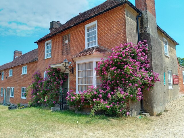
With a population of around 500 residents, Gilbury Hard exudes a tranquil and tight-knit community atmosphere. The village is characterized by its quaint cottages, traditional architecture, and well-maintained gardens, providing a charming and idyllic setting for its inhabitants.
Gilbury Hard offers a range of essential amenities for its residents. These include a local primary school, a village hall, and a small convenience store, ensuring that the basic needs of the community are met within close proximity. For further services and facilities, residents can easily access nearby towns and cities such as Winchester or Basingstoke.
The village enjoys a rich history, with several historical landmarks and attractions to explore. One notable site is the 12th century St. Mary's Church, which stands as a testament to the village's heritage. Additionally, the surrounding countryside provides ample opportunities for outdoor activities such as hiking, cycling, and horse riding.
In conclusion, Gilbury Hard is a charming and peaceful village in Hampshire, offering its residents a tranquil rural lifestyle. With its picturesque landscapes, strong sense of community, and historical significance, it is a place that embodies the quintessential English countryside experience.
If you have any feedback on the listing, please let us know in the comments section below.
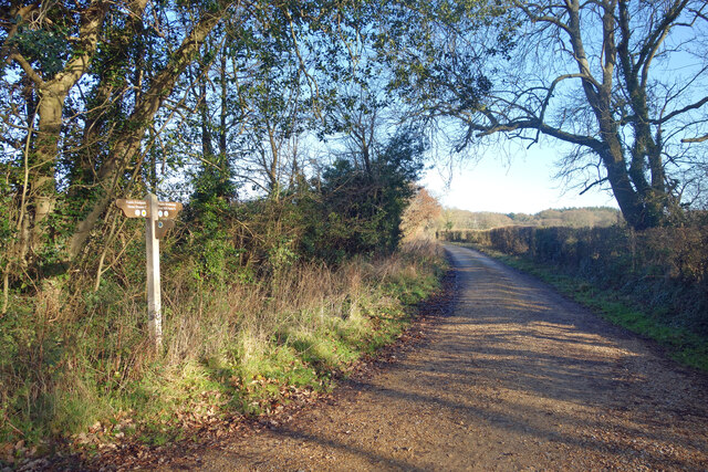
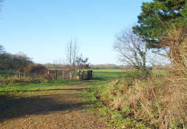
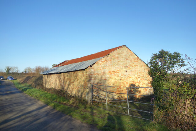
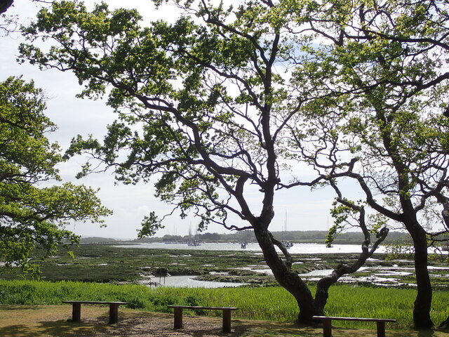
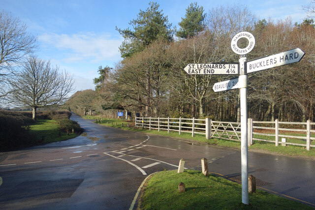
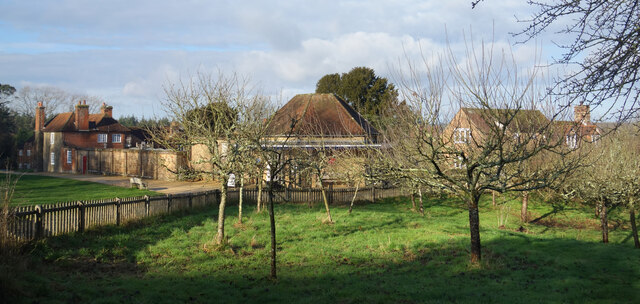
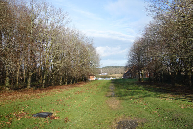
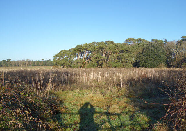
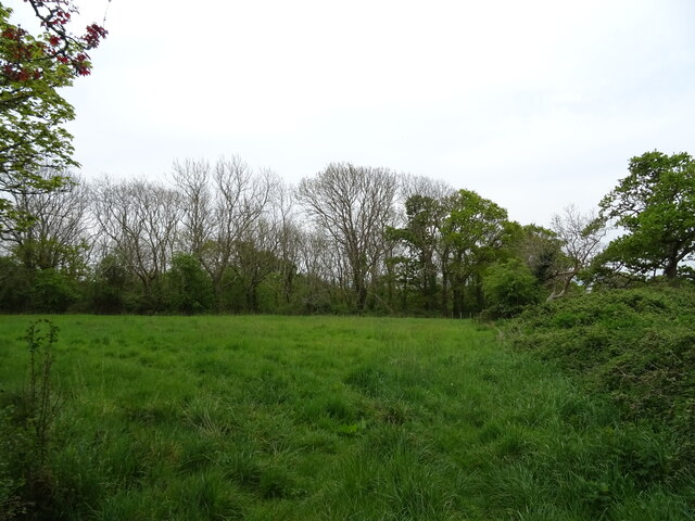
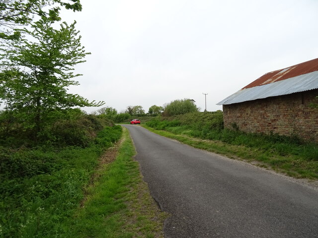
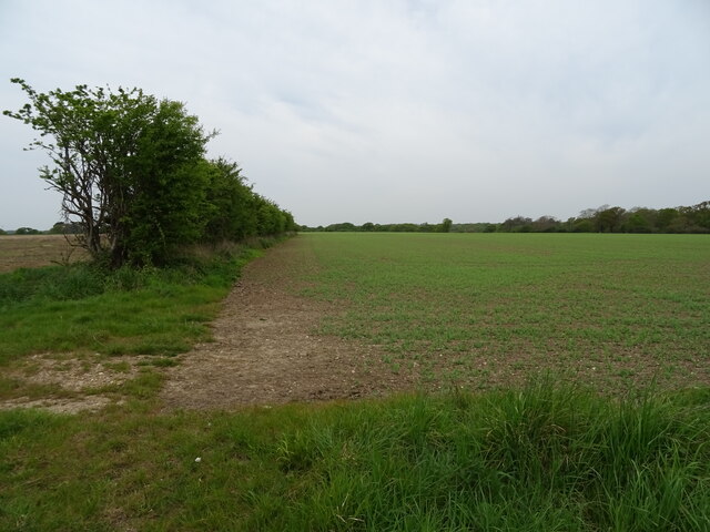
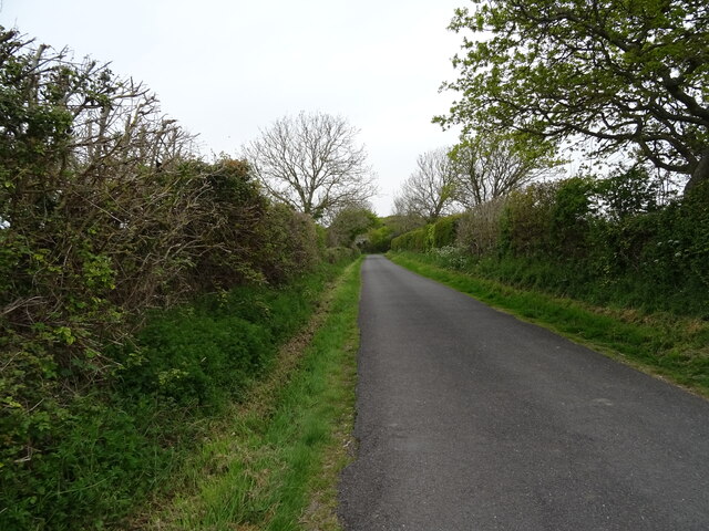
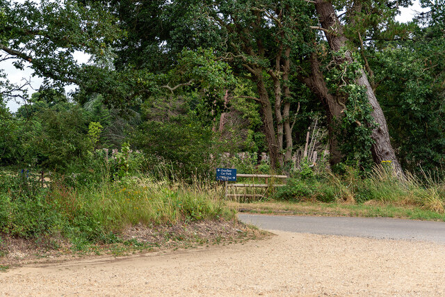
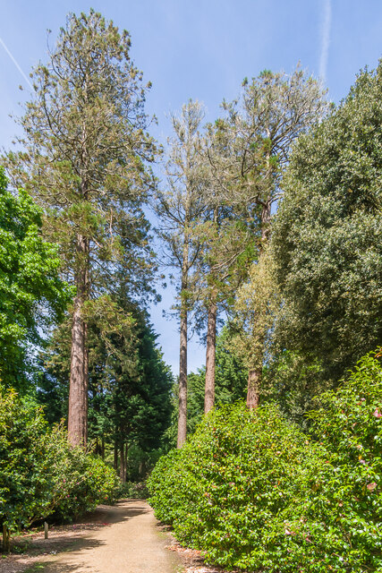
Gilbury Hard Images
Images are sourced within 2km of 50.80196/-1.4073956 or Grid Reference SU4100. Thanks to Geograph Open Source API. All images are credited.
Gilbury Hard is located at Grid Ref: SU4100 (Lat: 50.80196, Lng: -1.4073956)
Administrative County: Hampshire
District: New Forest
Police Authority: Hampshire
What 3 Words
///heckler.thigh.much. Near Hythe, Hampshire
Nearby Locations
Related Wikis
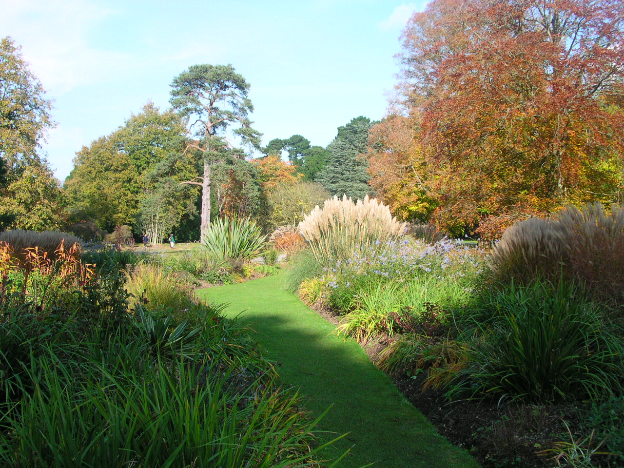
Exbury Gardens
Exbury Gardens is a 200-acre (81 ha) informal woodland garden in Hampshire, England with large collections of rhododendrons, azaleas and camellias, and...

Exbury House
Exbury House is an English country house in Exbury and Lepe, Hampshire, situated on the edge of the New Forest. It is a Grade II* listed building with...

Exbury
Exbury is a village in Hampshire, England. It is in the civil parish of Exbury and Lepe. It lies just in the New Forest, near the Beaulieu River and about...

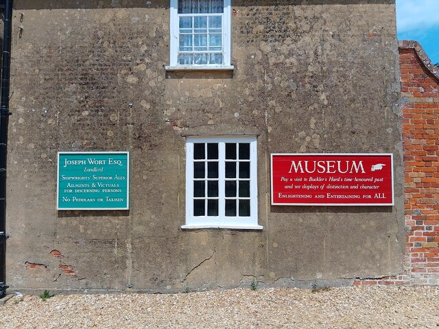
Buckler's Hard
Buckler's Hard is a hamlet on the banks of the Beaulieu River in the English county of Hampshire. With its Georgian cottages running down to the river...
Nearby Amenities
Located within 500m of 50.80196,-1.4073956Have you been to Gilbury Hard?
Leave your review of Gilbury Hard below (or comments, questions and feedback).