Gallows Hill
Settlement in Lancashire Preston
England
Gallows Hill
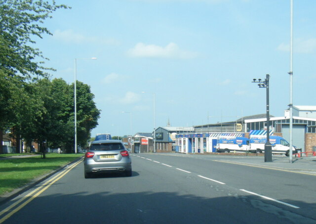
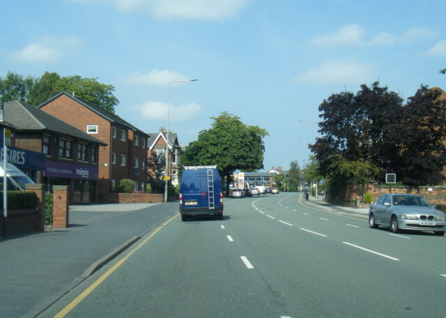
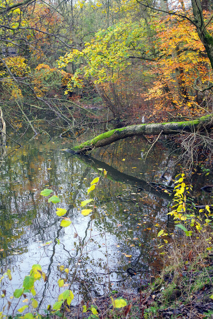
Gallows Hill is a small village located in the county of Lancashire, England. Situated in the southern part of the county, it is nestled amidst picturesque countryside and is surrounded by rolling hills and lush green fields. The village is characterized by its quaint charm and rural atmosphere, making it an ideal destination for those seeking a peaceful and idyllic setting.
The origins of the name "Gallows Hill" can be traced back to medieval times when it was believed to have been a site for public executions. However, there is limited historical evidence to support this claim, and the village has long moved on from its dark past.
Today, Gallows Hill is a close-knit community, with a population of approximately 500 residents. The village is primarily residential, consisting of traditional stone-built houses and a few small cottages. Its small size contributes to a strong sense of community, where neighbors often know one another and come together for local events and gatherings.
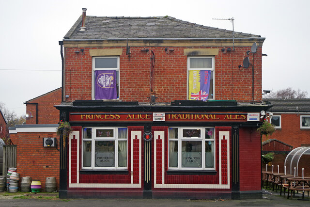
Despite being a relatively small village, Gallows Hill offers a range of amenities to its residents. It has a primary school, a village hall, and a local pub that serves as a social hub. The surrounding countryside provides opportunities for outdoor activities such as hiking, cycling, and horseback riding.
Overall, Gallows Hill is a charming and peaceful village that exudes a sense of tranquility and community spirit. Its picturesque setting and close proximity to nature make it an appealing destination for those seeking a rural escape in the heart of Lancashire.
If you have any feedback on the listing, please let us know in the comments section below.
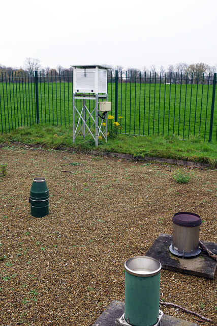
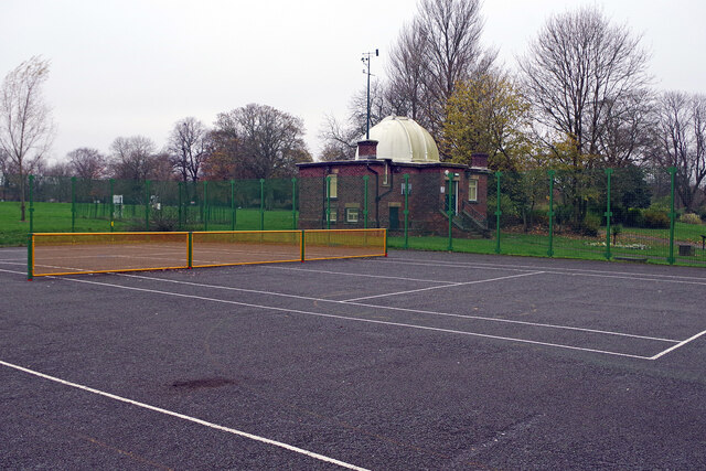
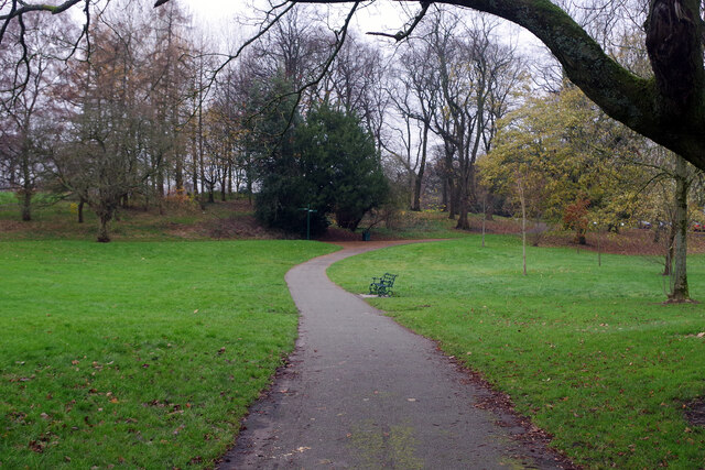
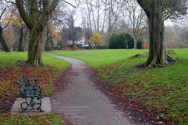
Gallows Hill Images
Images are sourced within 2km of 53.77086/-2.7037664 or Grid Reference SD5330. Thanks to Geograph Open Source API. All images are credited.


Gallows Hill is located at Grid Ref: SD5330 (Lat: 53.77086, Lng: -2.7037664)
Administrative County: Lancashire
District: Preston
Police Authority: Lancashire
What 3 Words
///keys.chained.swept. Near Preston, Lancashire
Nearby Locations
Related Wikis
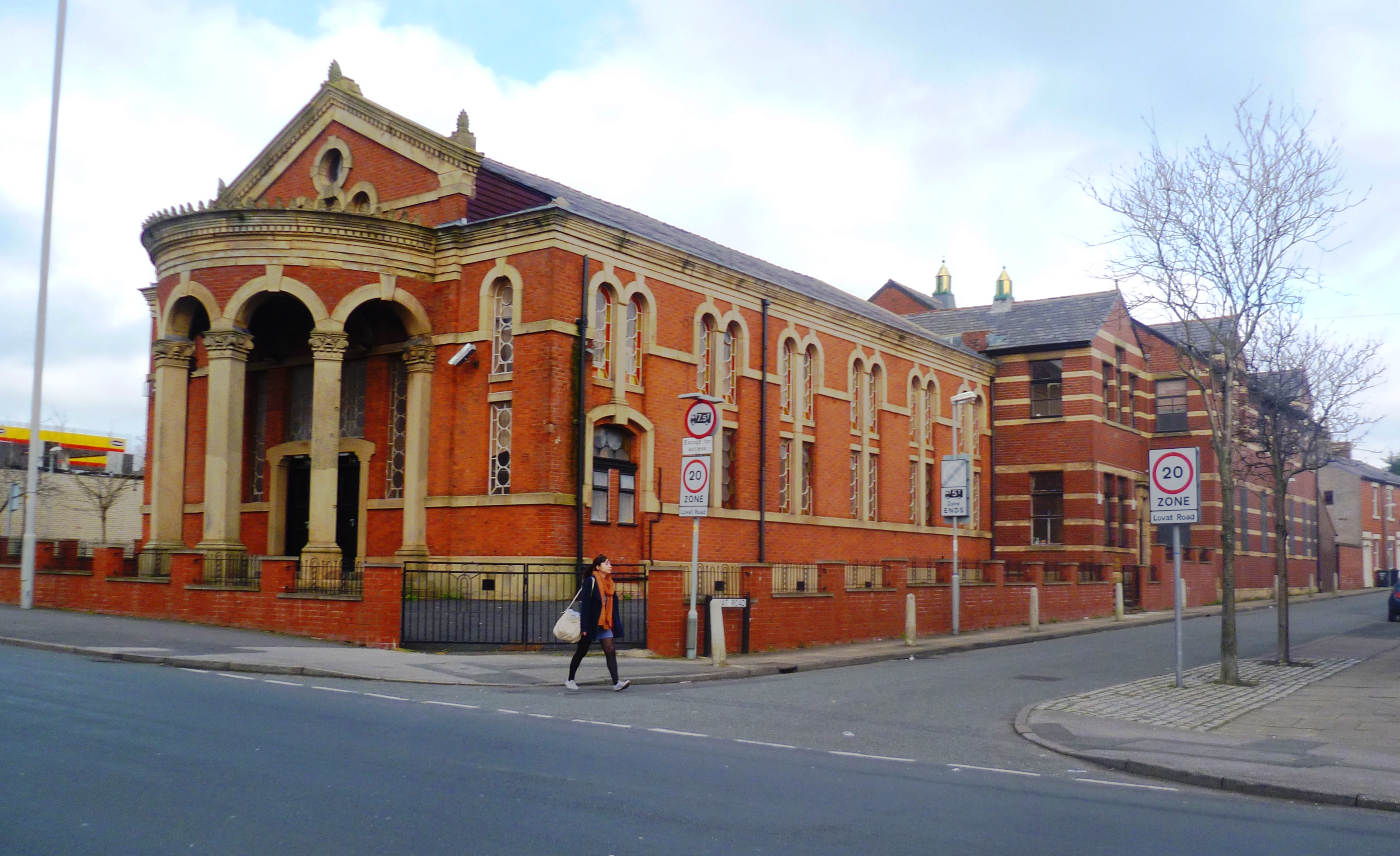
Moor Park Methodist Church
Moor Park Methodist Church is a former Methodist church in Garstang Road, Preston, Lancashire, England. It is recorded in the National Heritage List for...

Church of St Thomas of Canterbury and the English Martyrs, Preston
English Martyrs Church or its full name The Church of St Thomas of Canterbury and the English Martyrs is a Roman Catholic Parish church in Preston, Lancashire...
St George's, Preston
For the church of the same name, see Church of St George the Martyr, Preston. St George's is an electoral ward in Preston, Lancashire, England. The ward...

St Thomas' Church, Preston
St Thomas' Church is in Lancaster Road, Preston, Lancashire, England. It has historically been an Anglican parish church, and now used by City Church...

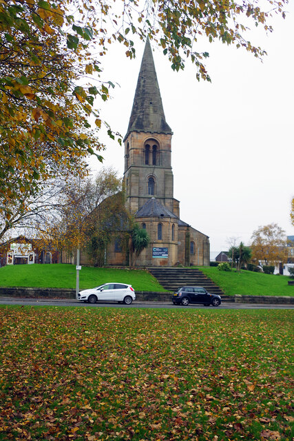
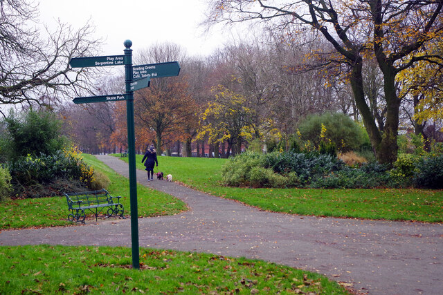
Moor Park, Preston
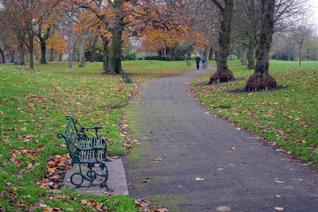
Moor Park is a large park (with a perimeter of approx 2 miles (3 km)) to the north of the city centre of Preston, Lancashire, England. Moor Park is also...

Emmanuel Church, Preston
Emmanuel Church is in Brook Street, Preston, Lancashire, England. It is in the deanery of Preston, the archdeaconry of Lancaster, and the diocese of Blackburn...
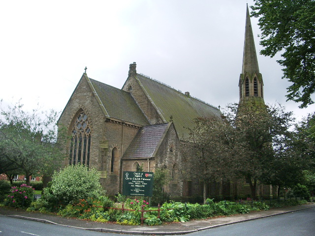
Christ Church, Fulwood
Christ Church is in Victoria Road, Fulwood, Preston, Lancashire, England. It is an active Anglican parish church in the deanery of Preston, the archdeaconry...
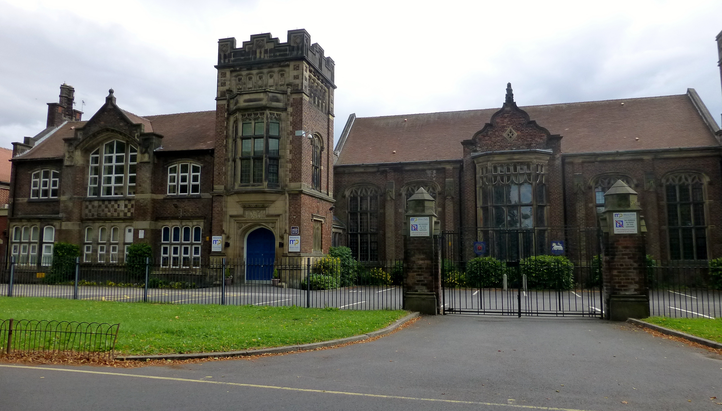
Moor Park High School
Moor Park High School is a coeducational secondary school and sixth form located in Preston in the English county of Lancashire.It is a foundation school...
Nearby Amenities
Located within 500m of 53.77086,-2.7037664Have you been to Gallows Hill?
Leave your review of Gallows Hill below (or comments, questions and feedback).