Beechgrove

Settlement in Durham

England

Beechgrove

Steps and path in Watergate Forest Park The path climbs steeply out of the valley towards Washingwells.
Steps and path in Watergate Forest Park Credit: Oliver Dixon

Beechgrove is a picturesque village located in the county of Durham, England. Situated amidst rolling countryside, this charming settlement offers a tranquil and idyllic escape from the bustling city life. With a population of around 500 residents, Beechgrove is a close-knit community that prides itself on its strong sense of community spirit.

The village is known for its beautiful natural surroundings, characterized by lush green fields, meandering rivers, and ancient woodlands. Beechgrove is particularly popular among nature enthusiasts, who can enjoy long walks along the scenic trails that crisscross the area. The village is also home to a variety of native wildlife, including deer, foxes, and a diverse range of bird species.

Despite its small size, Beechgrove boasts a number of amenities that cater to the needs of its residents. These include a local pub, a village hall, and a small convenience store that stocks essentials. The village also has a primary school, providing education for children in the area.

Beechgrove boasts a rich history, with evidence of settlement dating back centuries. The village is home to several historic buildings, including a medieval church that stands as a testament to the area's heritage. The local community takes great pride in preserving these historical landmarks, ensuring they remain an integral part of the village's identity.

Overall, Beechgrove is a charming and close-knit village that offers a peaceful retreat for those seeking a slower pace of life. With its stunning natural surroundings and strong community spirit, it is no wonder that Beechgrove is cherished by both residents and visitors alike.

If you have any feedback on the listing, please let us know in the comments section below.
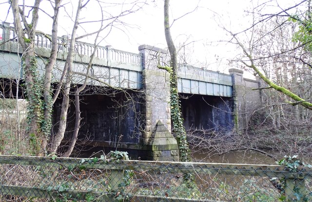
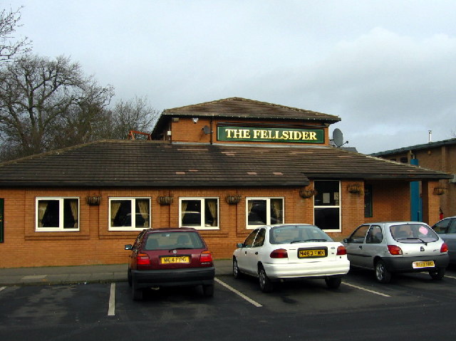
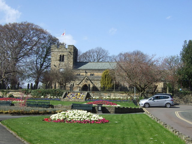
Beechgrove Images

Images are sourced within 2km of 54.949075/-1.669755 or Grid Reference NZ2161. Thanks to Geograph Open Source API. All images are credited.

Steps and path in Watergate Forest Park The path climbs steeply out of the valley towards Washingwells.
Steps and path in Watergate Forest Park
The path climbs steeply out of the valley towards Washingwells.
Footbridge over the Black Burn The higher of two at the western end of the Watergate Forest Park.
Footbridge over the Black Burn
The higher of two at the western end of the Watergate Forest Park.
Footbridge over the Black Burn The lower of two at the western end of Watergate Forest Park.
Footbridge over the Black Burn
The lower of two at the western end of Watergate Forest Park.
Entry to Watergate Forest Park Watergate Forest Park is in Gateshead, owned and maintained by the metropolitan borough's council; it's on the site of the former Watergate Colliery. There's a small, (very small indeed), car parking area at this entry point from the A692; there are of course other entry points.
Entry to Watergate Forest Park
Watergate Forest Park is in Gateshead, owned and maintained by the metropolitan borough's council; it's on the site of the former Watergate Colliery. There's a small, (very small indeed), car parking area at this entry point from the A692; there are of course other entry points.
Broad path, descending The path is in Gateshead's Watergate Forest Park which is on the site of the former Watergate Colliery. There are many paths in the area which is classified as access land and a surprisingly deeply incised stream.
Broad path, descending
The path is in Gateshead's Watergate Forest Park which is on the site of the former Watergate Colliery. There are many paths in the area which is classified as access land and a surprisingly deeply incised stream.
Swalwell Bridge This is alternatively known as the New Derwent Bridge, although it is now nearly a century old. It was built in 1927 to replace the old turnpike bridge over the Derwent, and now carries the B6317 to Blaydon and beyond.
Swalwell Bridge
This is alternatively known as the New Derwent Bridge, although it is now nearly a century old. It was built in 1927 to replace the old turnpike bridge over the Derwent, and now carries the B6317 to Blaydon and beyond.
Derwent Walk at Swalwell Bridge Swalwell Bridge was built in 1927 to carry the road over the River Derwent and the adjacent Derwent Valley Railway. This is now the Derwent Walk footpath.
Derwent Walk at Swalwell Bridge
Swalwell Bridge was built in 1927 to carry the road over the River Derwent and the adjacent Derwent Valley Railway. This is now the Derwent Walk footpath.
Notice board at Derwenthaugh This board is beside the Lady's Steps weir at Swalwell and is about the fish pass which was installed here in 2012. It enables fish to migrate up the river Derwent.
Notice board at Derwenthaugh
This board is beside the Lady's Steps weir at Swalwell and is about the fish pass which was installed here in 2012. It enables fish to migrate up the river Derwent.
Derwenthaugh weir Known locally as the Lady's Steps weir, this is on the river Derwent. It was built during the Industrial Revolution in the 18th century when this part of the Derwent Valley was a hive of industry. In 2012 a fish pass was built here to enable fish to migrate to the upper reaches of the river.
Derwenthaugh weir
Known locally as the Lady's Steps weir, this is on the river Derwent. It was built during the Industrial Revolution in the 18th century when this part of the Derwent Valley was a hive of industry. In 2012 a fish pass was built here to enable fish to migrate to the upper reaches of the river.
Shibdon Pond Nature Reserve Shibdon Pond is an ideal site for bird watching with plenty of open water, marshland, grassland and scrub habitats.
Shibdon Pond Nature Reserve
Shibdon Pond is an ideal site for bird watching with plenty of open water, marshland, grassland and scrub habitats.
Weir on the River Derwent In Derwenthaugh Park near Swalwell in County Durham.
Weir on the River Derwent
In Derwenthaugh Park near Swalwell in County Durham.
The Fellsider Pub, Fellside
Blaydon Rugby Club
Blaydon Rugby Club
Swalwell Country Park Visitor Centre
The Derwent Walk The Derwent Valley Railway between Swalwell and Consett was converted into a path / bridleway after it was closed in 1963.  Today it forms part of Derwent Walk Country Park.  The passenger platform of the old Swalwell Station can be seen on the right of the photo.
The Derwent Walk
The Derwent Valley Railway between Swalwell and Consett was converted into a path / bridleway after it was closed in 1963. Today it forms part of Derwent Walk Country Park. The passenger platform of the old Swalwell Station can be seen on the right of the photo.
Weir on the River Derwent Reasonably clean water. Children play here in the summer.
Weir on the River Derwent
Reasonably clean water. Children play here in the summer.
Swalwell Cricket Club Their ground is in Derwenthaugh Park.
<span class="nowrap"><a title="http://swalwell.play-cricket.com/home/home.asp" rel="nofollow ugc noopener" href="http://swalwell.play-cricket.com/home/home.asp">Link</a><img style="margin-left:2px;" alt="External link" title="External link - shift click to open in new window" src="https://s1.geograph.org.uk/img/external.png" width="10" height="10"/></span>

Rugby, tennis and football grounds are close by, with Lottery money appearing to have funded several.
Swalwell Cricket Club
Their ground is in Derwenthaugh Park. LinkExternal link Rugby, tennis and football grounds are close by, with Lottery money appearing to have funded several.
Model train near Swalwell This photograph shows a model train located on the remains of an old railway bridge on the B6317 road near Swalwell.  The picture was taken looking in a south-easterly direction from near the public footpath that leads to the start of the Derwent Walk.
Model train near Swalwell
This photograph shows a model train located on the remains of an old railway bridge on the B6317 road near Swalwell. The picture was taken looking in a south-easterly direction from near the public footpath that leads to the start of the Derwent Walk.
Show me another place!

Beechgrove is located at Grid Ref: NZ2161 (Lat: 54.949075, Lng: -1.669755)

Unitary Authority: Gateshead

Police Authority: Northumbria

What 3 Words

///rinse.trim.taxi. Near Whickham, Tyne & Wear

Nearby Locations

Dunston Hill Beechgrove

Related Wikis

Whickham

Whickham is a village in Tyne and Wear, North East England. It is in the Metropolitan Borough of Gateshead. The village is on high ground overlooking...

Dunston Hill Hospital

Dunston Hill Hospital was a hospital in Gateshead, Tyne and Wear. It was managed by Gateshead Health NHS Foundation Trust. == History == The hospital had...

MetroCentre (shopping centre)

MetroCentre is a shopping centre and entertainment complex in the Dunston area of Gateshead. It is located on the former site of Dunston Power Station...

Whickham F.C.

Whickham Football Club are an English football club based in Whickham, Tyne and Wear, playing in the Northern League Division One in the English football...

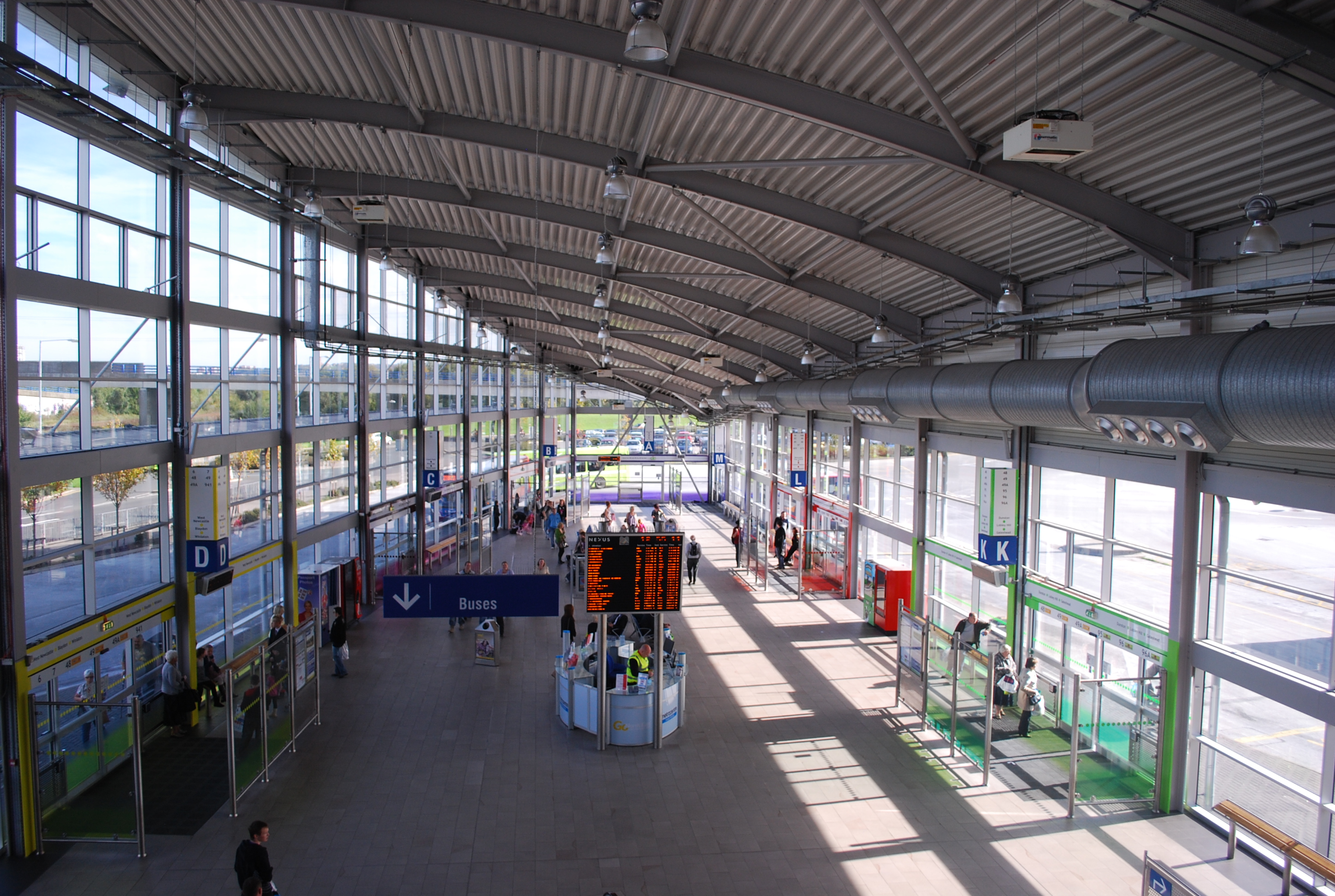
MetroCentre Interchange

Metrocentre Interchange serves the Metrocentre in Gateshead. The bus station was originally constructed in the late 1980s, opened in 1987. In the early...

Kingsmeadow Community Comprehensive School

Kingsmeadow Community Comprehensive School is a coeducational secondary school and sixth form based in Dunston, Metropolitan Borough of Gateshead. It was...

Swalwell

Swalwell is a village in Gateshead, Tyne and Wear, England, in the United Kingdom. == History == On 27 August 1640, an encampment of soldiers was gathered...

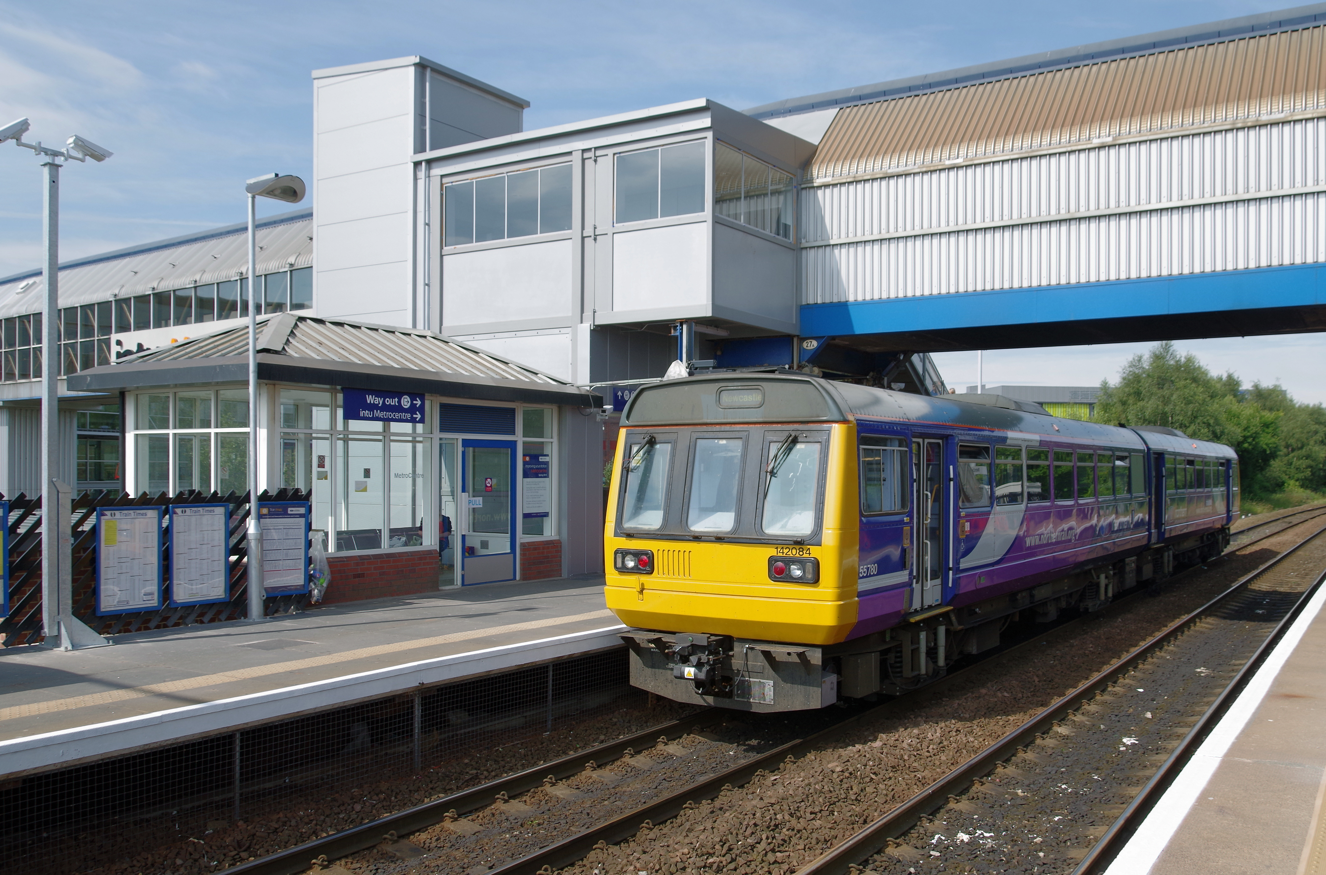
MetroCentre railway station

MetroCentre is a railway station on the Tyne Valley Line, which runs between Newcastle and Carlisle via Hexham. The station, situated 3 miles 39 chains...

Nearby Amenities

Located within 500m of 54.949075,-1.669755
Bus Stop
Front Street- Dockendale Lane
Bench: no
Bin: no
Bus: yes
Local Ref: E
Naptan AtcoCode: 410000014026
Naptan Bearing: W
Naptan Indicator: W-Bound
Naptan Landmark: Opposite Dockendale Lane
Naptan NaptanCode: twrawjtm
Naptan PlusbusZoneRef: NWCSTLE
Naptan Street: Front Street
Naptan Verified: no
Public Transport: platform
Shelter: yes
Source: naptan_import
Lat/Long: 54.9449126/-1.6705388
Bus Stop
FRONT STREET-CHASE PARK-W/B
Local Ref: W
Naptan AtcoCode: 410000014027
Naptan Bearing: W
Naptan CommonName: FRONT STREET-CHASE PARK-W/B
Naptan Indicator: W
Naptan Landmark: OPPOSITE THE BAY HORSE PUBLIC HOUSE
Naptan NaptanCode: twrawjtp
Naptan PlusbusZoneRef: NWCSTLE
Naptan Street: FRONT STREET
Naptan Verified: no
Source: naptan_import
Lat/Long: 54.9452318/-1.6722379
Bus Stop
Whickham
Bench: yes
Bin: no
Bus: yes
Covered: yes
Departures Board: timetable
Local Ref: E
Naptan AtcoCode: 410000014036
Naptan Bearing: E
Naptan Indicator: E-Bound
Naptan Landmark: Outside The Council Offices
Naptan NaptanCode: twrawmad
Naptan PlusbusZoneRef: NWCSTLE
Naptan Street: Front Street
Naptan Verified: no
Public Transport: platform
Shelter: yes
Source: naptan_import
Lat/Long: 54.9456371/-1.6735454
Bus Stop
Whickham
Bench: yes
Bin: yes
Bus: yes
Departures Board: timetable
Lit: yes
Local Ref: E
Naptan AtcoCode: 410000014037
Naptan Bearing: E
Naptan Indicator: E-Bound
Naptan Landmark: 100m West Of Police Station
Naptan NaptanCode: twrawmag
Naptan PlusbusZoneRef: NWCSTLE
Naptan Street: B6317
Naptan Verified: no
Public Transport: platform
Shelter: yes
Source: naptan_import
Tactile Paving: no
Lat/Long: 54.9448648/-1.6697045
Bus Stop
MARKET LANE-CEMETERY-W/B
Local Ref: W
Naptan AtcoCode: 410000014056
Naptan Bearing: W
Naptan CommonName: MARKET LANE-CEMETERY-W/B
Naptan Indicator: W
Naptan Landmark: OUTSIDE DUNSTON GARDEN HOUSE CEMETERY
Naptan NaptanCode: twrawmgw
Naptan PlusbusZoneRef: NWCSTLE
Naptan Street: MARKET LANE
Naptan Verified: no
Source: naptan_import
Lat/Long: 54.9514519/-1.6694704
Bus Stop
Market Lane-Beverley Drive
Bus: yes
Local Ref: W
Naptan AtcoCode: 410000014057
Naptan Bearing: W
Naptan Indicator: W-Bound
Naptan Landmark: Outside Beverley Drive
Naptan NaptanCode: twrawmja
Naptan PlusbusZoneRef: NWCSTLE
Naptan Street: Market Lane
Naptan Verified: no
Public Transport: platform
Shelter: yes
Source: naptan_import
Lat/Long: 54.9528111/-1.6735971
Bus Stop
Market Lane-Old Fire Station
Bus: yes
Local Ref: E
Naptan AtcoCode: 410000014062
Naptan Bearing: E
Naptan Indicator: E-Bound
Naptan Landmark: 60m South East Of Fire Station
Naptan NaptanCode: twrawmjt
Naptan PlusbusZoneRef: NWCSTLE
Naptan Street: Market Lane
Naptan Verified: no
Public Transport: platform
Source: naptan_import
Lat/Long: 54.9529372/-1.673721
Bus Stop
MARKET LANE-CEMETERY-E/B
Local Ref: SW
Naptan AtcoCode: 410000014063
Naptan Bearing: SW
Naptan CommonName: MARKET LANE-CEMETERY-E/B
Naptan Indicator: SW
Naptan Landmark: OPPOSITE DUNSTON GARDEN HOUSE CEMETERY
Naptan NaptanCode: twrawmjw
Naptan PlusbusZoneRef: NWCSTLE
Naptan Street: MARKET LANE
Naptan Verified: no
Source: naptan_import
Lat/Long: 54.9514965/-1.6693295
Turning Circle
Lat/Long: 54.9495563/-1.6675582
Traffic Signals
Traffic Signals: signal
Lat/Long: 54.9450616/-1.6713795
Traffic Calming: hump
Lat/Long: 54.948324/-1.6743891
Mini Roundabout
Lat/Long: 54.9470583/-1.6708432
Bus: yes
Bus Bay: left
Public Transport: stop_position
Lat/Long: 54.9455563/-1.6734315
Mini Roundabout
Lat/Long: 54.951238/-1.6705532
Noexit: yes
Lat/Long: 54.9451685/-1.6695889
Noexit: yes
Lat/Long: 54.9454664/-1.6694177
Croft Windows Ltd.
Addr City: Swalwell
Addr Street: Beverley Drive
Craft: window_construction
Lat/Long: 54.9519649/-1.6720518
Post Box
Operator: Royal Mail
Operator Wikidata: Q638098
Post Box Type: lamp
Ref: NE16 321
Lat/Long: 54.9485269/-1.6714145
Cafe
Linda's Coffee House
Addr City: Whickham
Addr Street: Coalway Lane
Lat/Long: 54.9462226/-1.6754902
Dentist
Whickham Dental Practice
Addr City: Whickham
Addr Street: Front Street
Lat/Long: 54.9457973/-1.6749704
Andrew Craig
Office: estate_agent
Lat/Long: 54.9457888/-1.6748497
Bindman & Co Solicitors
Addr City: Whickham
Addr Street: Front Street
Office: lawyer
Lat/Long: 54.9457904/-1.6747719
Bankview Ceramics
Addr City: Whickham
Shop: yes
Lat/Long: 54.9459119/-1.6737238
Bench
Backrest: yes
Lat/Long: 54.9459494/-1.6742516
Bench
Backrest: yes
Lat/Long: 54.9459481/-1.6741745
Bench
Backrest: yes
Lat/Long: 54.9459508/-1.6741068
Waste Basket
Lat/Long: 54.9459561/-1.6740414
Bench
Backrest: yes
Lat/Long: 54.9456061/-1.6732405
Telephone
Booth: K6
Covered: booth
Listed Status: Grade II
Wikidata: Q26276098
Lat/Long: 54.945598/-1.6731681
Fast Food
Paula's Pantry
Addr City: Whickham
Cuisine: sandwich
Lat/Long: 54.945826/-1.6728762
Vogue
Addr City: Whickham
Phone: +44 191 488 78 55
Shop: hairdresser
Lat/Long: 54.945881/-1.6728973
Eve Beauty Salon
Addr City: Whickham
Phone: +44 191 488 1534
Shop: beauty
Lat/Long: 54.9459534/-1.6729089
Post Box
Drive Through: no
Operator: Royal Mail
Operator Wikidata: Q638098
Post Box Type: wall
Ref: NE16 592
Royal Cypher: GR
Royal Cypher Wikidata: Q33102273
Lat/Long: 54.9452289/-1.67171
Post Box
Drive Through: no
Operator: Royal Mail
Operator Wikidata: Q638098
Post Box Type: lamp
Ref: NE16 483
Lat/Long: 54.9520582/-1.6720498
Generator Method: photovoltaic
Generator Output Electricity: yes
Generator Solar Modules: 16
Generator Source: solar
Generator Type: solar_photovoltaic_panel
Location: roof
Power: generator
Lat/Long: 54.9465388/-1.6647742
Bus: yes
Public Transport: stop_position
Lat/Long: 54.9448091/-1.6697153
Direction: both
Surface: asphalt
Traffic Calming: cushion
Lat/Long: 54.9470583/-1.6703846
Direction: both
Surface: asphalt
Traffic Calming: cushion
Lat/Long: 54.9471302/-1.6692414
Crossing
Crossing: unmarked
Crossing Island: yes
Crossing Markings: no
Tactile Paving: yes
Traffic Calming: island
Lat/Long: 54.9504656/-1.6665872
Barrier: bollard
Lat/Long: 54.9500517/-1.6670167
Addr City: Newcastle Upon Tyne
Addr Housenumber: 11
Addr Postcode: NE16 4HD
Addr Street: The Orchard
Lat/Long: 54.9453375/-1.6688946
Addr City: Newcastle Upon Tyne
Addr Housenumber: 10
Addr Postcode: NE16 4HD
Addr Street: The Orchard
Lat/Long: 54.945363/-1.669026
Addr City: Newcastle Upon Tyne
Addr Housenumber: 9
Addr Postcode: NE16 4HD
Addr Street: The Orchard
Lat/Long: 54.9453845/-1.6691414
Addr City: Newcastle Upon Tyne
Addr Housenumber: 8
Addr Postcode: NE16 4HD
Addr Street: The Orchard
Lat/Long: 54.9454123/-1.6692661
Addr City: Newcastle Upon Tyne
Addr Housenumber: 7
Addr Postcode: NE16 4HD
Addr Street: The Orchard
Lat/Long: 54.9455748/-1.669305
Addr City: Newcastle Upon Tyne
Addr Housenumber: 6
Addr Postcode: NE16 4HD
Addr Street: The Orchard
Lat/Long: 54.9455979/-1.6694243
Addr City: Newcastle Upon Tyne
Addr Housenumber: 5
Addr Postcode: NE16 4HD
Addr Street: The Orchard
Lat/Long: 54.9455709/-1.6696469
Addr City: Newcastle Upon Tyne
Addr Housenumber: 4
Addr Postcode: NE16 4HD
Addr Street: The Orchard
Lat/Long: 54.9454962/-1.6696885
Addr City: Newcastle Upon Tyne
Addr Housenumber: 3
Addr Postcode: NE16 4HD
Addr Street: The Orchard
Lat/Long: 54.9454107/-1.6696751
Addr City: Newcastle Upon Tyne
Addr Housenumber: 2
Addr Postcode: NE16 4HD
Addr Street: The Orchard
Lat/Long: 54.9453406/-1.6697207
Addr City: Newcastle Upon Tyne
Addr Housenumber: 1
Addr Postcode: NE16 4HD
Addr Street: The Orchard
Lat/Long: 54.9452659/-1.6697569
Traffic Calming: hump
Lat/Long: 54.9486296/-1.671412
Traffic Calming: hump
Lat/Long: 54.9486496/-1.6729447
Entrance: main
Lat/Long: 54.9457683/-1.6749819
Waste Basket
Colour: silver
Waste: dog_excrement; trash
Lat/Long: 54.9456483/-1.6734205
Power: pole
Lat/Long: 54.9480148/-1.6621558
Power: pole
Lat/Long: 54.9477984/-1.6622663
Power: pole
Lat/Long: 54.947556/-1.6623901
The data included in this document is from www.openstreetmap.org. The data is made available under ODbL.

Have you been to Beechgrove?

Leave your review of Beechgrove below (or comments, questions and feedback).