Friar Waddon

Settlement in Dorset

England

Friar Waddon

The South Dorset Ridgeway on Bronkham Hill
The South Dorset Ridgeway on Bronkham Hill Credit: Colin Park

Friar Waddon is a small village located in the county of Dorset, England. Situated approximately 3 miles east of the town of Weymouth, it lies in close proximity to the English Channel. With a population of around 400 residents, Friar Waddon is a peaceful and picturesque rural settlement.

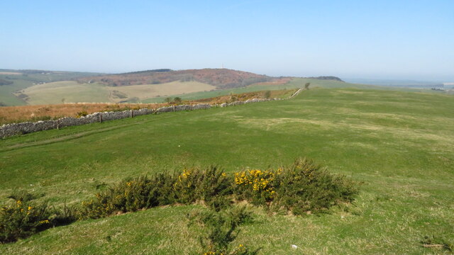
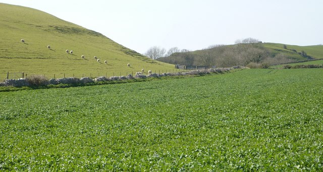
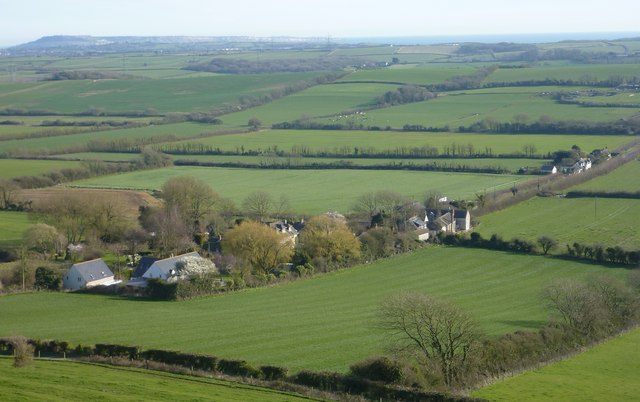
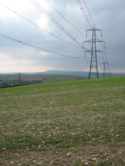
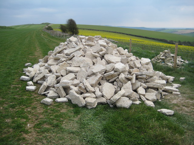
The village is characterized by its charming thatched-roof cottages, which are interspersed with traditional brick and stone houses. The surrounding landscape is predominantly agricultural, with rolling green fields and hedgerows adding to the village's idyllic atmosphere.

One of the notable features of Friar Waddon is its historic church, St. Mary's. Dating back to the 12th century, this Norman church is an architectural gem, boasting intricate stonework and a beautifully preserved interior. It serves as a focal point for the community, hosting regular religious services as well as social events.

Despite its small size, Friar Waddon offers a range of amenities to its residents. These include a local pub, well-regarded for its cozy ambiance and traditional English fare. The village also benefits from good transport links, with regular bus services connecting it to nearby towns and cities.

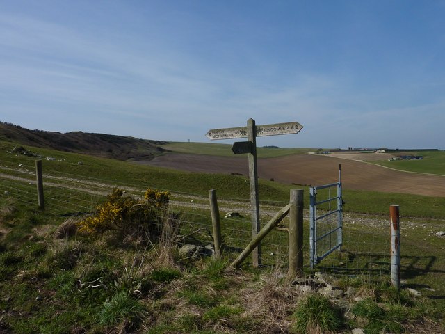
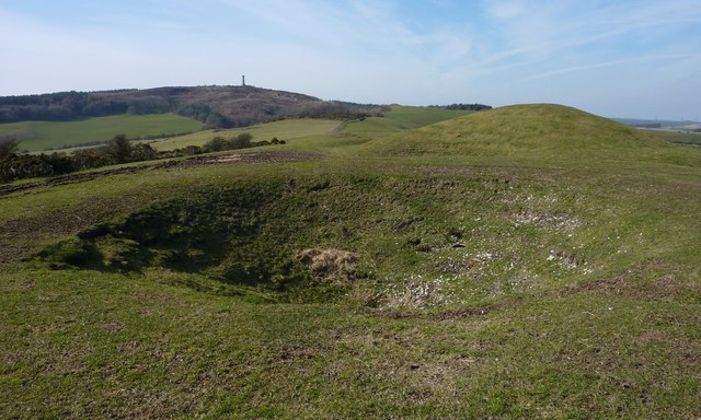
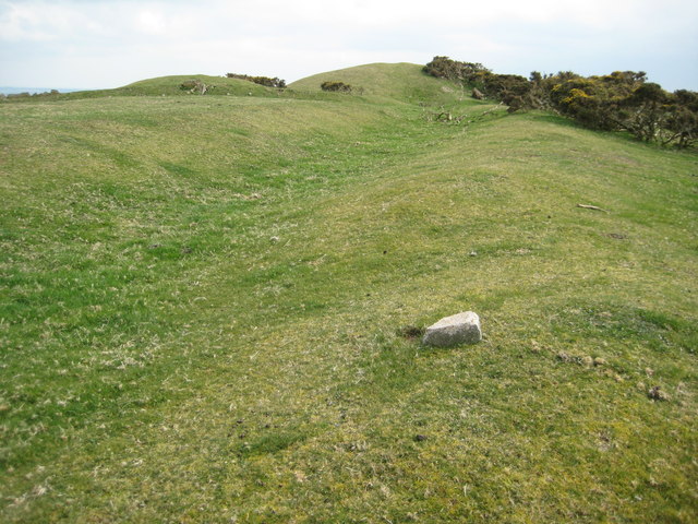
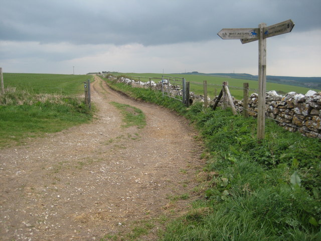
The surrounding area provides ample opportunities for outdoor activities. Residents and visitors can enjoy scenic walks along the nearby South West Coast Path, which offers breathtaking views of the coastline. Additionally, the picturesque countryside surrounding Friar Waddon provides an ideal setting for cycling, horse riding, and other recreational pursuits.

In summary, Friar Waddon is a charming and tranquil village in Dorset, boasting a rich history, beautiful architecture, and access to stunning natural surroundings.

If you have any feedback on the listing, please let us know in the comments section below.
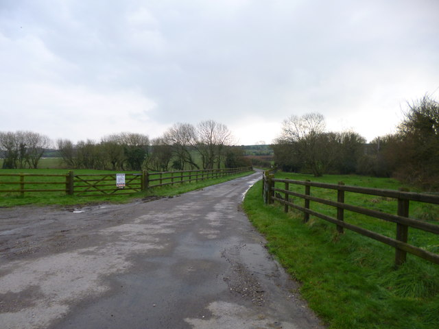
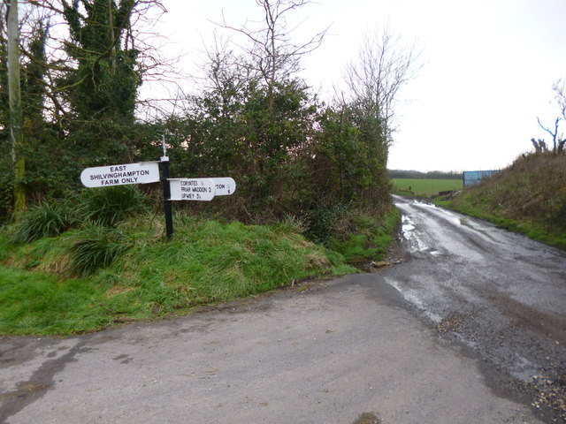
Friar Waddon Images

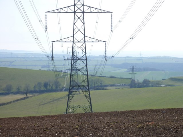
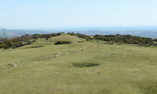
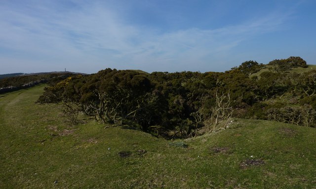
Images are sourced within 2km of 50.670632/-2.5098171 or Grid Reference SY6485. Thanks to Geograph Open Source API. All images are credited.

The South Dorset Ridgeway on Bronkham Hill
Direction Sign - Signpost on Cheese Lane near Coryates Located south of Coryates on the southwest side of the junction of Cheese Lane and the road to East Shilvinghampton Farm in Portesham parish. 3 arms and annulus & bar finial. See <a title="https://www.geograph.org.uk/photo/6099271" href="https://www.geograph.org.uk/photo/6099271">Link</a> to compare with its condition in 2013, and <a title="https://www.geograph.org.uk/photo/3308110" href="https://www.geograph.org.uk/photo/3308110">Link</a> and <a title="https://www.geograph.org.uk/photo/1092395" href="https://www.geograph.org.uk/photo/1092395">Link</a> for alternative views

Milestone Society National ID: DO_SY6284
Direction Sign - Signpost on Cheese Lane near Coryates
Located south of Coryates on the southwest side of the junction of Cheese Lane and the road to East Shilvinghampton Farm in Portesham parish. 3 arms and annulus & bar finial. See Link to compare with its condition in 2013, and Link and Link for alternative views Milestone Society National ID: DO_SY6284
Sheep on Corton Hill
Anyone seen Hardy Monument?
Hardy Monument and Signpost
Pylons (and Portland), Corton Down
Shake Holes, Barrow and Boundary, Bronkham Hill Preston and Weymouth can be seen in the distance below this position on the South Dorset Ridgeway. The cliff of White Nothe lies in the top left hand corner of the image.
Shake Holes, Barrow and Boundary, Bronkham Hill
Preston and Weymouth can be seen in the distance below this position on the South Dorset Ridgeway. The cliff of White Nothe lies in the top left hand corner of the image.
Shake Hole with Gorse The presence of the gorse indicates Tertiary deposits lying on top of the chalk of the South Dorset Ridgeway. Acidic rainwater filtering through these deposits (made more acidic by passage through humus formed from decay of vegetation) dissolves the underling chalk preferentially at sites where it collects in this layer. The overlying Tertiary gravel then collapses in, forming the shake hole. A shake hole in formation can be seen at <a href="https://www.geograph.org.uk/photo/1022756">SY6286 : Partially formed Shakehole, Bronkham Hill</a> and the position of this site on the ridge more clearly seen at <a href="https://www.geograph.org.uk/photo/2315152">SY6286 : Shake Holes, Barrow and Boundary, Bronkham Hill</a>.
Shake Hole with Gorse
The presence of the gorse indicates Tertiary deposits lying on top of the chalk of the South Dorset Ridgeway. Acidic rainwater filtering through these deposits (made more acidic by passage through humus formed from decay of vegetation) dissolves the underling chalk preferentially at sites where it collects in this layer. The overlying Tertiary gravel then collapses in, forming the shake hole. A shake hole in formation can be seen at SY6286 : Partially formed Shakehole, Bronkham Hill and the position of this site on the ridge more clearly seen at SY6286 : Shake Holes, Barrow and Boundary, Bronkham Hill.
Shake Hole and Barrow below Hardy Monument
Coryates and Portland
Pylons on Corton Down Pylons carrying power cables over Corton Down, viewed from the inland route of the South West Coast Path.
Pylons on Corton Down
Pylons carrying power cables over Corton Down, viewed from the inland route of the South West Coast Path.
Tumuli on Bronkham Hill There are a number of tumuli on Bronkham Hill such as the two pictured here.  The South Dorset Ridgeway and the inland option of the South West Coast Path follow a bridleway passing nearby.
Tumuli on Bronkham Hill
There are a number of tumuli on Bronkham Hill such as the two pictured here. The South Dorset Ridgeway and the inland option of the South West Coast Path follow a bridleway passing nearby.
Pylons on Corton Hill Pylons carrying electricity cables over Corton Hill, the Isle of Portland can be seen in the distance.
Pylons on Corton Hill
Pylons carrying electricity cables over Corton Hill, the Isle of Portland can be seen in the distance.
Stones for wall building A pile of stones for drystone wall building beside the South Dorset Ridgeway/South West Coast Path on Corton Hill.
Stones for wall building
A pile of stones for drystone wall building beside the South Dorset Ridgeway/South West Coast Path on Corton Hill.
Meeting of footpaths The South Dorset Ridgeway/South West Coast Path (inland alternative) meet a footpath to Martinstown.
Meeting of footpaths
The South Dorset Ridgeway/South West Coast Path (inland alternative) meet a footpath to Martinstown.
Ridge Hill A very stony ploughed field on Ridge Hill above Martinstown, the South Dorset Ridgeway/South West Coast Path long distance paths follow the wall on the right.
Ridge Hill
A very stony ploughed field on Ridge Hill above Martinstown, the South Dorset Ridgeway/South West Coast Path long distance paths follow the wall on the right.
Coryates, farm road Farm road and footpath, from the Portesham to Shilvinghampton road; leading to East Shilvinghampton Farm.
Coryates, farm road
Farm road and footpath, from the Portesham to Shilvinghampton road; leading to East Shilvinghampton Farm.
Coryates, fingerpost Dorset gridded fingerpost, at the junction of the Portesham to Broadwey road, and the road to East Shilvinghampton Farm; bearing grid number "628 847".
Coryates, fingerpost
Dorset gridded fingerpost, at the junction of the Portesham to Broadwey road, and the road to East Shilvinghampton Farm; bearing grid number "628 847".
Show me another place!

Friar Waddon is located at Grid Ref: SY6485 (Lat: 50.670632, Lng: -2.5098171)

Unitary Authority: Dorset

Police Authority: Dorset

What 3 Words

///badminton.glossed.partly. Near Chickerell, Dorset

Related Wikis

Corton Cutting

Corton Cutting (grid reference SY637855) is a 0.24 hectare geological Site of Special Scientific Interest in Dorset, England, notified in 1997. The site...

St Bartholomew's Chapel, Corton

St Bartholomew's Chapel is a Church of England chapel in Corton, near Weymouth, Dorset, England. The chapel has early 13th century origins, with later...

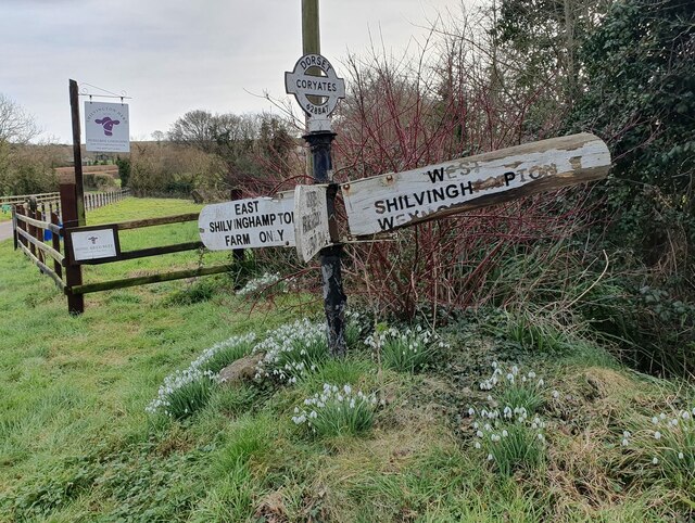
Coryates Halt railway station

Coryates Halt was a small railway station on the Abbotsbury branch railway in the west of the English county of Dorset. It consisted of a single platform...

Upwey, Dorset

Upwey is a suburb of Weymouth in south Dorset, England. The suburb is situated on the B3159 road in the Wey valley. The area was formerly a village until...

St Laurence's Church, Upwey

St Laurence's Church is a Church of England parish church in Upwey, Dorset, England. Much of the existing church dates to the late 15th century, with some...

Waybayouse Liberty

Waybayouse Liberty or Wabyhouse Liberty was a liberty in the county of Dorset, England, containing part of the parish of Upwey. == See also == List of...

Buckland Ripers

Buckland Ripers is a hamlet in Dorset, England, situated four miles north west of Weymouth. == External links == Dorset OPC Buckland Ripers Parish page...

Ridgeway Hill Viking burial pit

The Ridgeway Hill Viking burial pit at Ridgeway Hill near Weymouth, Dorset, was a mass grave of 54 skeletons, including 51 skulls, of Scandinavian men...

Nearby Amenities

Located within 500m of 50.670632,-2.5098171
Design: barrel
Power: tower
Lat/Long: 50.6717204/-2.5153051
Friar Waddon
Place: hamlet
Lat/Long: 50.6716178/-2.5073269
Power: tower
Lat/Long: 50.6712852/-2.5160067
Design: barrel
Power: tower
Lat/Long: 50.6682069/-2.514318
Power: pole
Source: Bing
Lat/Long: 50.6678785/-2.5125382
Power: pole
Source: Bing
Lat/Long: 50.6686835/-2.5127781
Power: pole
Source: Bing
Lat/Long: 50.6709747/-2.5133812
Power: tower
Lat/Long: 50.6739042/-2.514334
Power: pole
Source: Bing
Lat/Long: 50.6664268/-2.5121077
Power: tower
Lat/Long: 50.6682318/-2.5149572
Power: tower
Lat/Long: 50.6725045/-2.5138787
Post Box
Post Box Type: wall
Ref: DT3 71
Ref GB Uprn: 10015451492
Royal Cypher: VR
Royal Cypher Wikidata: Q33102356
Lat/Long: 50.670667/-2.5095183
Friar Wadden Hill
Natural: peak
Lat/Long: 50.6672184/-2.5075605
Power: pole
Source: bing
Lat/Long: 50.6724184/-2.5112142
Power: pole
Source: bing
Lat/Long: 50.6714232/-2.5118136
Power: pole
Source: bing
Lat/Long: 50.6707585/-2.5123152
Power: pole
Source: bing
Lat/Long: 50.6725153/-2.510321
Power: pole
Source: bing
Lat/Long: 50.6716246/-2.5089866
Power: pole
Source: bing
Lat/Long: 50.6720904/-2.508835
Power: pole
Source: bing
Lat/Long: 50.6726624/-2.5095619
Power: pole
Source: bing
Lat/Long: 50.6725578/-2.5086245
Power: pole
Source: bing
Lat/Long: 50.6724346/-2.5074631
Power: pole
Source: bing
Lat/Long: 50.6723215/-2.5065297
Power: pole
Source: bing
Lat/Long: 50.6722043/-2.505438
Power: pole
Source: bing
Lat/Long: 50.6719527/-2.5032024
Power: pole
Source: bing
Lat/Long: 50.6720861/-2.5043464
Power: pole
Source: bing
Lat/Long: 50.6690313/-2.5133492
Power: pole
Source: bing
Lat/Long: 50.6683131/-2.5155433
Power: pole
Source: bing
Lat/Long: 50.6701032/-2.5128007
The data included in this document is from www.openstreetmap.org. The data is made available under ODbL.

Have you been to Friar Waddon?

Leave your review of Friar Waddon below (or comments, questions and feedback).