Fourpenny
Settlement in Sutherland
Scotland
Fourpenny
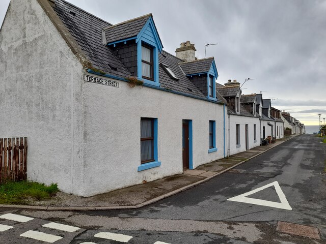
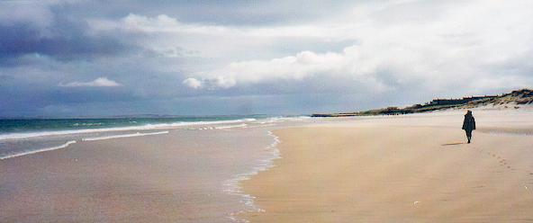
Fourpenny is a small and charming village located in the county of Sutherland, Scotland. Situated in the northern Highlands, it is nestled amid picturesque rolling hills and breathtaking natural beauty. The village is known for its tranquil and idyllic atmosphere, making it a popular destination for those seeking a peaceful retreat.
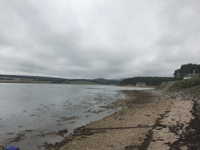
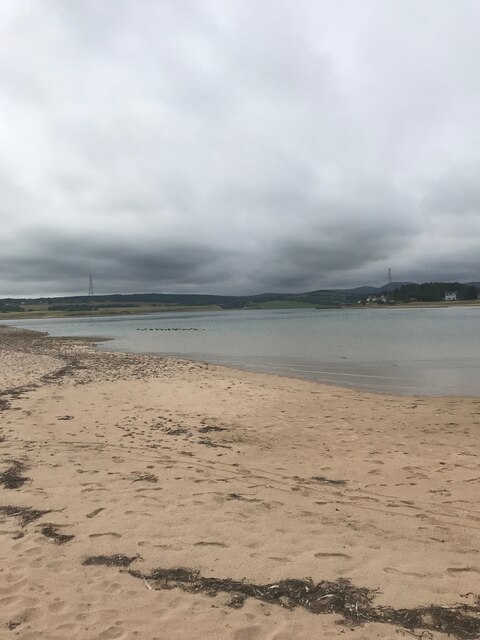
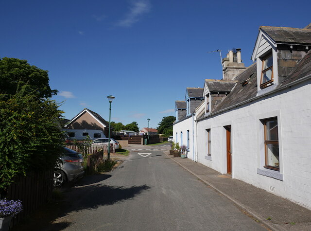
Fourpenny is characterized by its quaint and well-preserved traditional cottages, which add to its distinctive charm. The village is surrounded by lush green fields and offers stunning views of the nearby Loch Shin, a large freshwater loch that attracts visitors for fishing and boating activities. The surrounding landscape is dominated by heather-clad moors and dramatic mountain ranges, providing ample opportunities for outdoor enthusiasts to explore and enjoy activities such as hiking, birdwatching, and wildlife spotting.
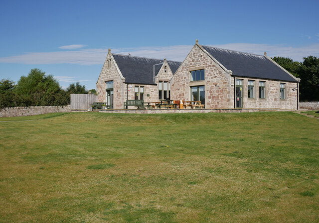
The village itself is home to a tight-knit community, with a small population of friendly and welcoming locals. Though small, Fourpenny offers some essential amenities, including a village shop, a post office, and a cozy pub that serves traditional Scottish fare. The village also hosts various community events throughout the year, such as local festivals and Highland games, providing a glimpse into the rich cultural heritage of the area.
Fourpenny is an ideal destination for those looking to immerse themselves in the tranquility of the Scottish Highlands, surrounded by stunning natural landscapes and a warm community spirit. Whether it be exploring the enchanting countryside or simply enjoying the peaceful ambiance, Fourpenny offers a delightful escape from the hustle and bustle of city life.
If you have any feedback on the listing, please let us know in the comments section below.
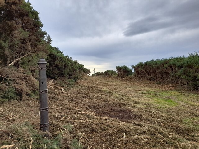
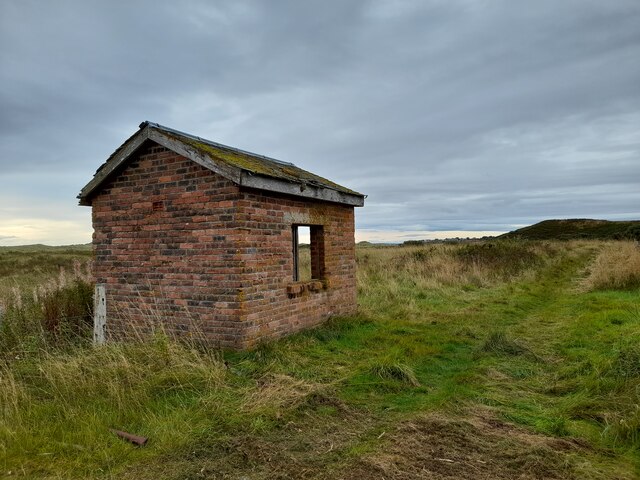
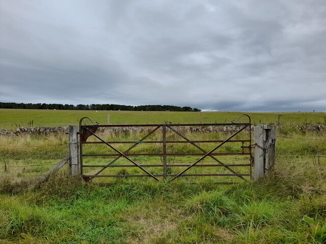
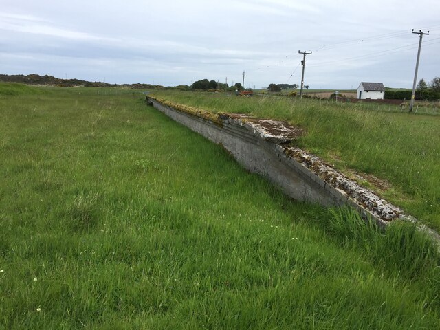
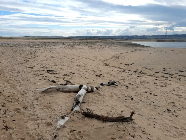
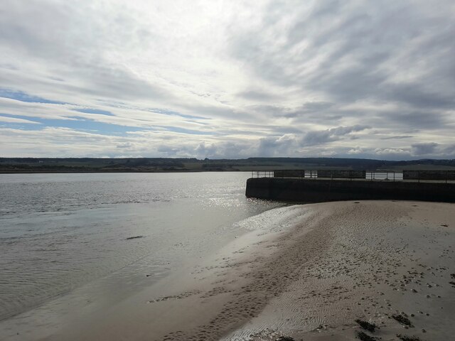
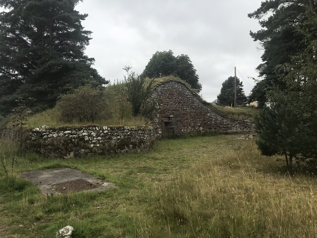
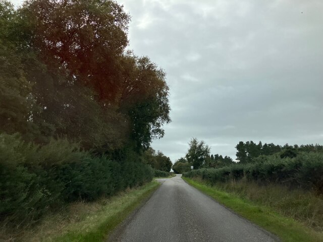
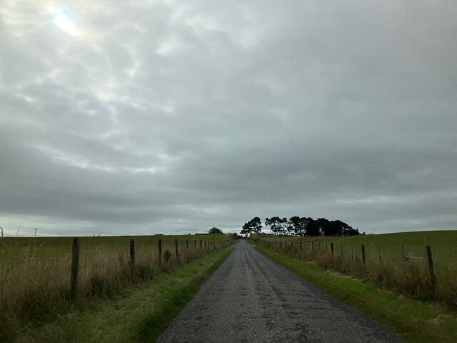
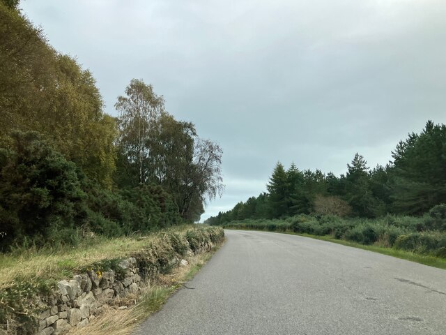
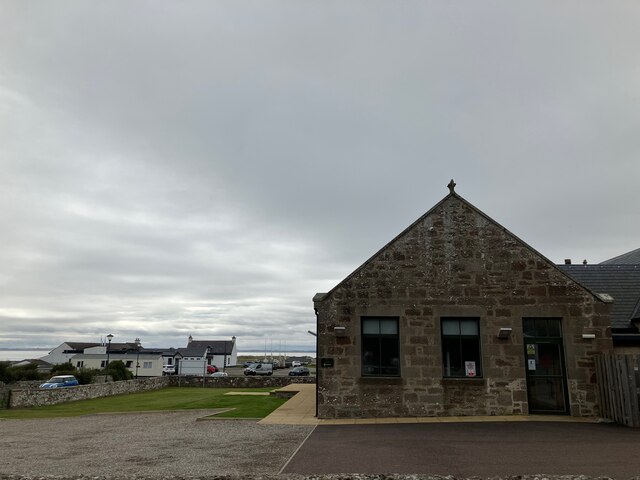
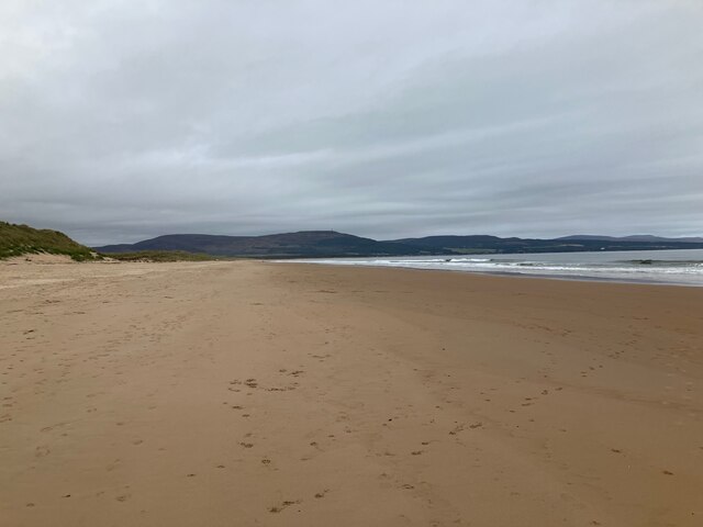
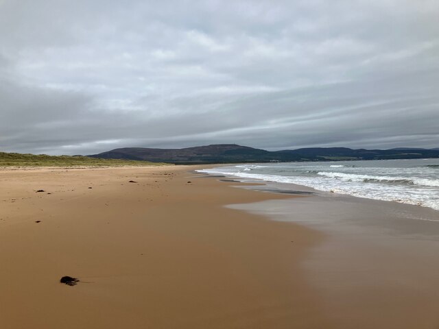
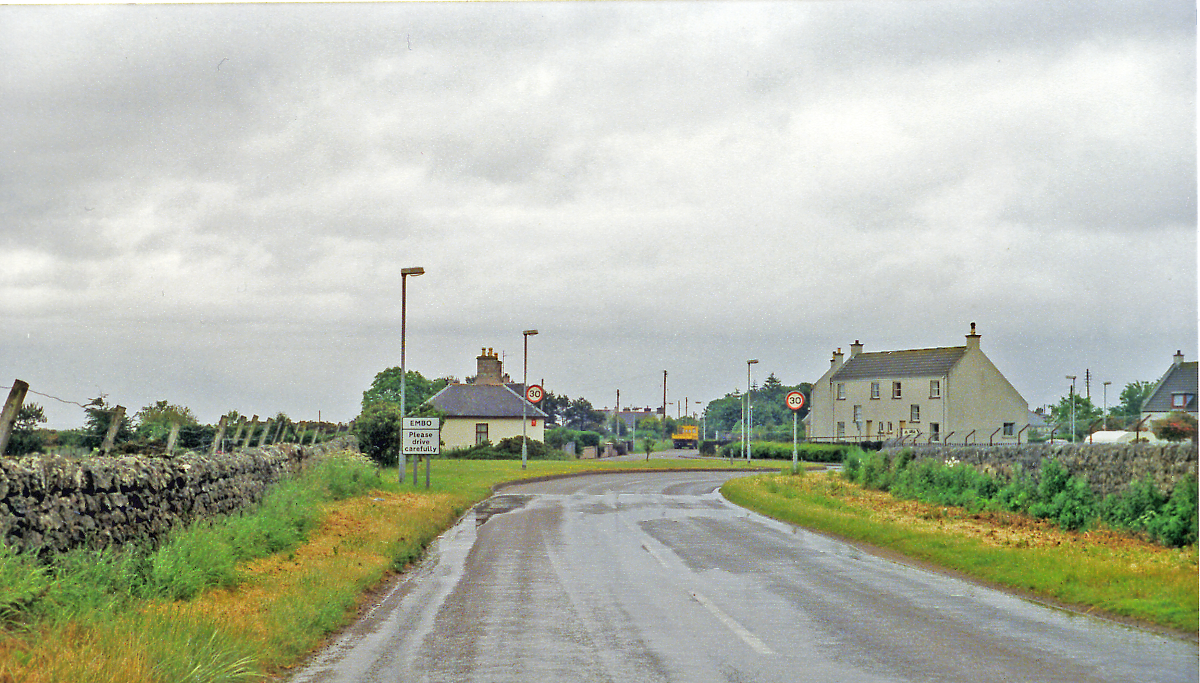
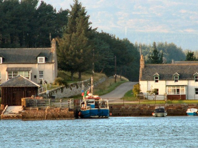
Fourpenny Images
Images are sourced within 2km of 57.918954/-4.0245465 or Grid Reference NH8093. Thanks to Geograph Open Source API. All images are credited.
Fourpenny is located at Grid Ref: NH8093 (Lat: 57.918954, Lng: -4.0245465)
Unitary Authority: Highland
Police Authority: Highlands and Islands
What 3 Words
///pacemaker.summit.atom. Near Dornoch, Highland
Nearby Locations
Related Wikis

Skelbo railway station
Skelbo railway station was a halt on the Dornoch Light Railway serving the village of Skelbo in Sutherland, Scotland. == History == The station was opened...

Coul Links
Coul Links is an area of sand dunes (referred to as "links" in the Scots language) in Sutherland, on the east coast of Scotland. It is located between...
Embo railway station
Embo railway station formerly served the town of Embo in Sutherland, Scotland. == History == The station was opened in 1902. James Craig, formerly at Dalcross...
Littleferry
Littleferry (Scottish Gaelic: Am Port Beag) is a village on the north east shore of Loch Fleet in Golspie, Sutherland, and is in the Scottish council...

Achavandra Muir
Achavandra Muir (Scottish Gaelic: Achadh Anndra - Andrew's Field) is a hamlet in the Scottish Highlands in northeastern Scotland, about 7 kilometres from...
Embo, Sutherland
Embo (Scottish Gaelic: Eurabol, IPA:[ˈiaɾəpɔɫ̪]) is a village in the Highland Council Area in Scotland and the former postal county of Sutherland, about...

Proncycroy
Proncycroy (Scottish Gaelic: Prannsaidh Cruaidh) is a settlement in the Sutherland region in the Scottish council area of Highland, and is located less...

Dornoch railway station
Dornoch railway station formerly served the town of Dornoch in Sutherland, Scotland. == History == The station was opened in 1902. Donald Mackenzie, formerly...
Nearby Amenities
Located within 500m of 57.918954,-4.0245465Have you been to Fourpenny?
Leave your review of Fourpenny below (or comments, questions and feedback).