Mansfield
Settlement in Nottinghamshire Mansfield
England
Mansfield
Mansfield is a town located in the county of Nottinghamshire, England. Situated in the heart of Sherwood Forest, it lies approximately 16 miles north of Nottingham and 24 miles south of Sheffield. With a population of around 100,000 residents, it is one of the largest towns in the region.
The town has a rich history, dating back to Roman times, and it played a significant role in the coal mining industry during the 19th and 20th centuries. Mansfield also has strong connections to the textile industry, particularly with the production of hosiery and lace.
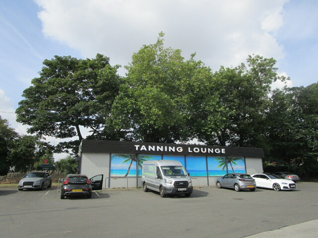
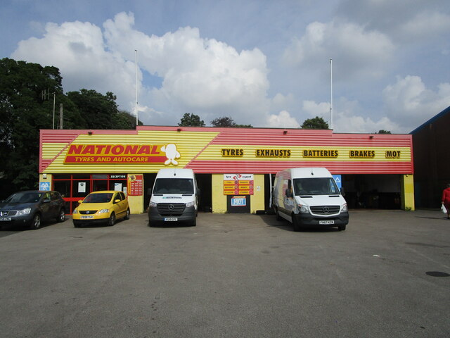
Today, Mansfield has a diverse economy, with sectors such as retail, manufacturing, and services contributing to its growth. The town center boasts a range of shops, including major high street brands and independent stores, as well as a bustling market. It is also home to the Four Seasons Shopping Centre, which provides a modern and convenient shopping experience.
Mansfield is well-served by transportation links, with the M1 motorway passing nearby, providing easy access to major cities such as Nottingham, Sheffield, and Derby. The town also has a railway station, offering regular services to Nottingham, Worksop, and other surrounding areas.
The natural beauty of the surrounding area is a key attraction for both residents and visitors. Sherwood Forest, famous for its association with the legendary outlaw Robin Hood, is just a short distance away and offers picturesque woodland walks and historical sites.
Overall, Mansfield is a vibrant and historically significant town, offering a blend of heritage, modern amenities, and natural beauty.
If you have any feedback on the listing, please let us know in the comments section below.
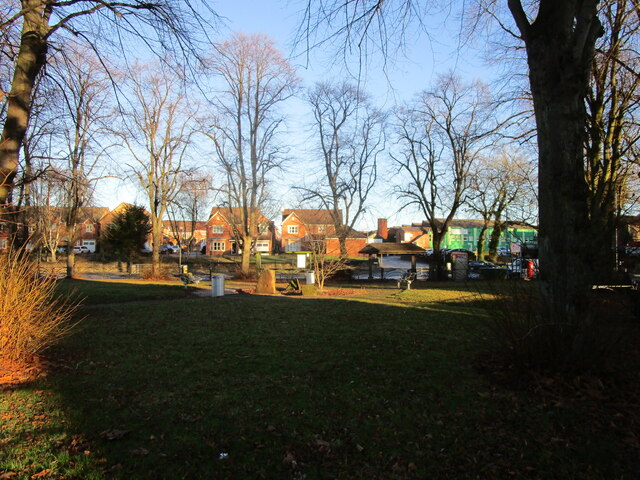
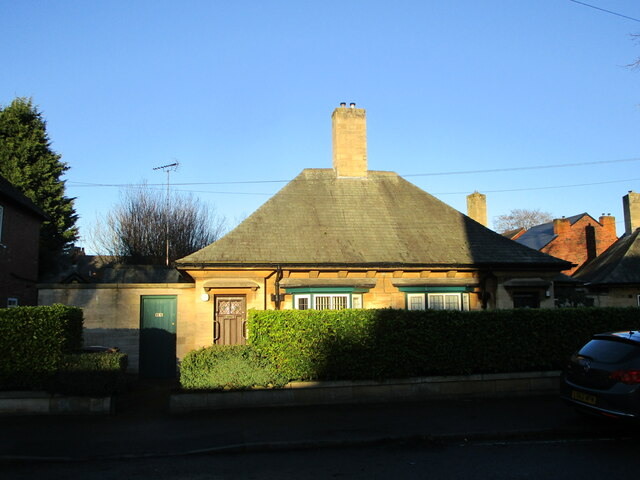
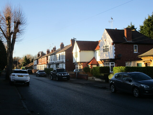
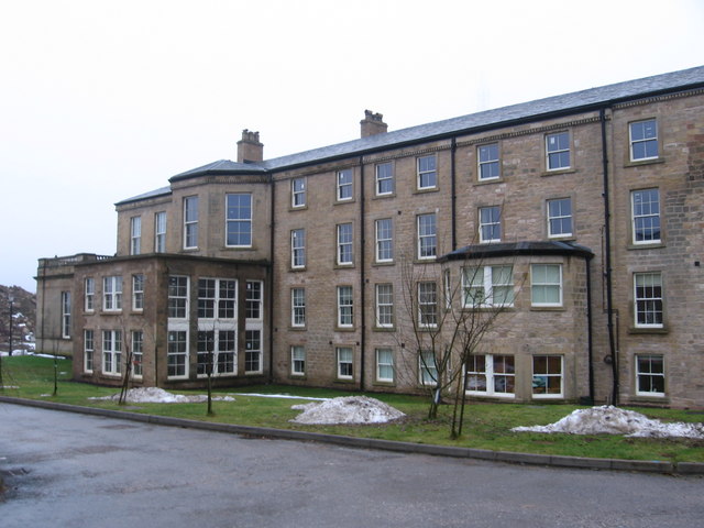
Mansfield Images
Images are sourced within 2km of 53.144638/-1.1963535 or Grid Reference SK5361. Thanks to Geograph Open Source API. All images are credited.


Mansfield is located at Grid Ref: SK5361 (Lat: 53.144638, Lng: -1.1963535)
Administrative County: Nottinghamshire
District: Mansfield
Police Authority: Nottinghamshire
What 3 Words
///feast.galaxy.bunny. Near Mansfield, Nottinghamshire
Nearby Locations
Related Wikis

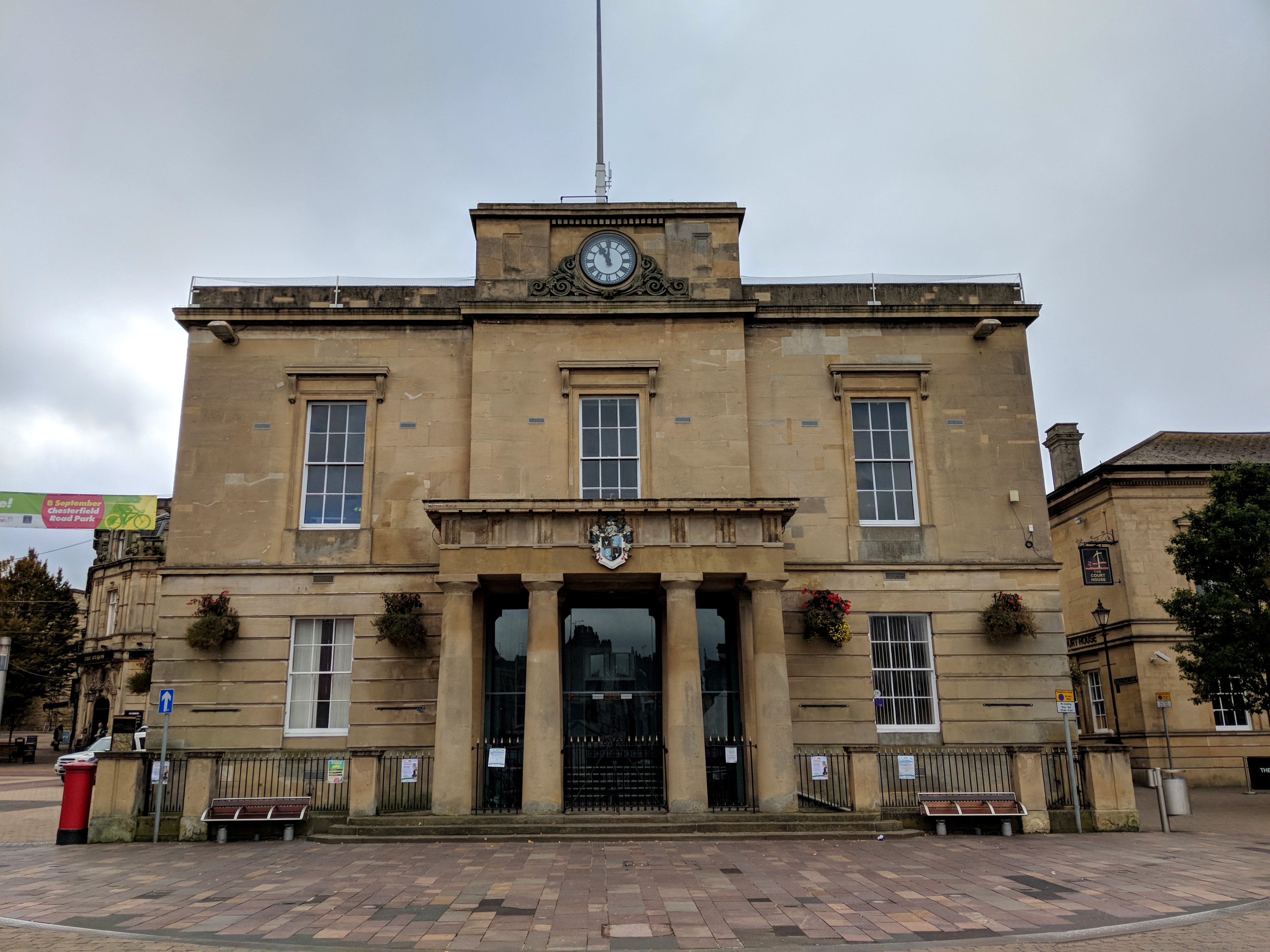
Moot Hall, Mansfield
The Moot Hall is a municipal building in the Market Place in Mansfield, Nottinghamshire, England. The building, which now operates as a shop, is a Grade...

Mansfield
Mansfield is a market town and the administrative centre of the Mansfield District in Nottinghamshire, England. It is the largest town in the wider Mansfield...
Old Town Hall, Mansfield
The Old Town Hall is a municipal building in the Market Place in Mansfield, Nottinghamshire, England. The town hall, which was the meeting place of Mansfield...

Mansfield bus station
Mansfield bus station serves the town of Mansfield, Nottinghamshire, England. It is located on Quaker Way. The primary bus operators are Stagecoach, with...

Palace Theatre, Mansfield
The Palace Theatre in Mansfield, Nottinghamshire, England first opened in 1910 as a cinema. It was later converted to a live theatre, which has been its...

Mansfield Museum
The Mansfield Museum is a local authority museum in Nottinghamshire run by Mansfield District Council. Originally called the "Tin Tabernacle", the Museum...
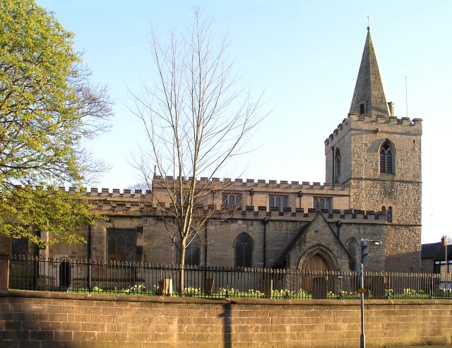
St Peter and St Paul's Church, Mansfield
St. Peter and St. Paul's Church, Mansfield is a parish church in the Church of England located in the town centre of Mansfield, Nottinghamshire. The church...
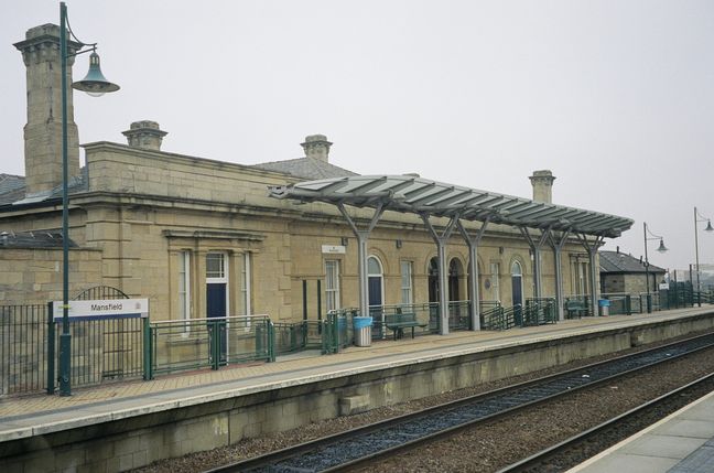
Mansfield railway station (Nottinghamshire)
Mansfield railway station is a railway station which serves the town of Mansfield in Nottinghamshire, England. Alternatively it is named Mansfield Town...
Nearby Amenities
Located within 500m of 53.144638,-1.1963535Have you been to Mansfield?
Leave your review of Mansfield below (or comments, questions and feedback).