Forncett St Peter

Settlement in Norfolk South Norfolk

England

Forncett St Peter

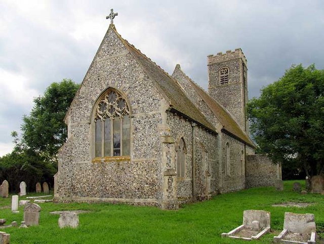
Church of All Saints, Wacton <span class="nowrap"><a title="https://historicengland.org.uk/listing/the-list/list-entry/1372999?section=official-list-entry" rel="nofollow ugc noopener" href="https://historicengland.org.uk/listing/the-list/list-entry/1372999?section=official-list-entry">Link</a><img style="margin-left:2px;" alt="External link" title="External link - shift click to open in new window" src="https://s1.geograph.org.uk/img/external.png" width="10" height="10"/></span>
Church of All Saints, Wacton Credit: Sandy Gerrard

The requested URL returned error: 429 Too Many Requests

If you have any feedback on the listing, please let us know in the comments section below.

Forncett St Peter Images

Images are sourced within 2km of 52.490797/1.1856865 or Grid Reference TM1692. Thanks to Geograph Open Source API. All images are credited.

Church of All Saints, Wacton <span class="nowrap"><a title="https://historicengland.org.uk/listing/the-list/list-entry/1372999?section=official-list-entry" rel="nofollow ugc noopener" href="https://historicengland.org.uk/listing/the-list/list-entry/1372999?section=official-list-entry">Link</a><img style="margin-left:2px;" alt="External link" title="External link - shift click to open in new window" src="https://s1.geograph.org.uk/img/external.png" width="10" height="10"/></span>
Church of All Saints, Wacton
Church of St Michael, Aslacton <span class="nowrap"><a title="https://historicengland.org.uk/listing/the-list/list-entry/1170344?section=official-list-entry" rel="nofollow ugc noopener" href="https://historicengland.org.uk/listing/the-list/list-entry/1170344?section=official-list-entry">Link</a><img style="margin-left:2px;" alt="External link" title="External link - shift click to open in new window" src="https://s1.geograph.org.uk/img/external.png" width="10" height="10"/></span>
Church of St Michael, Aslacton
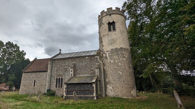
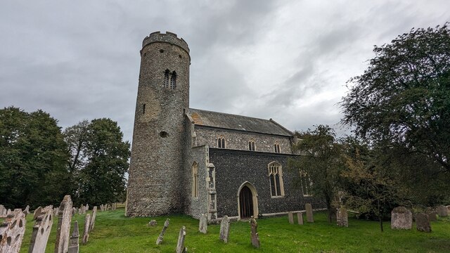
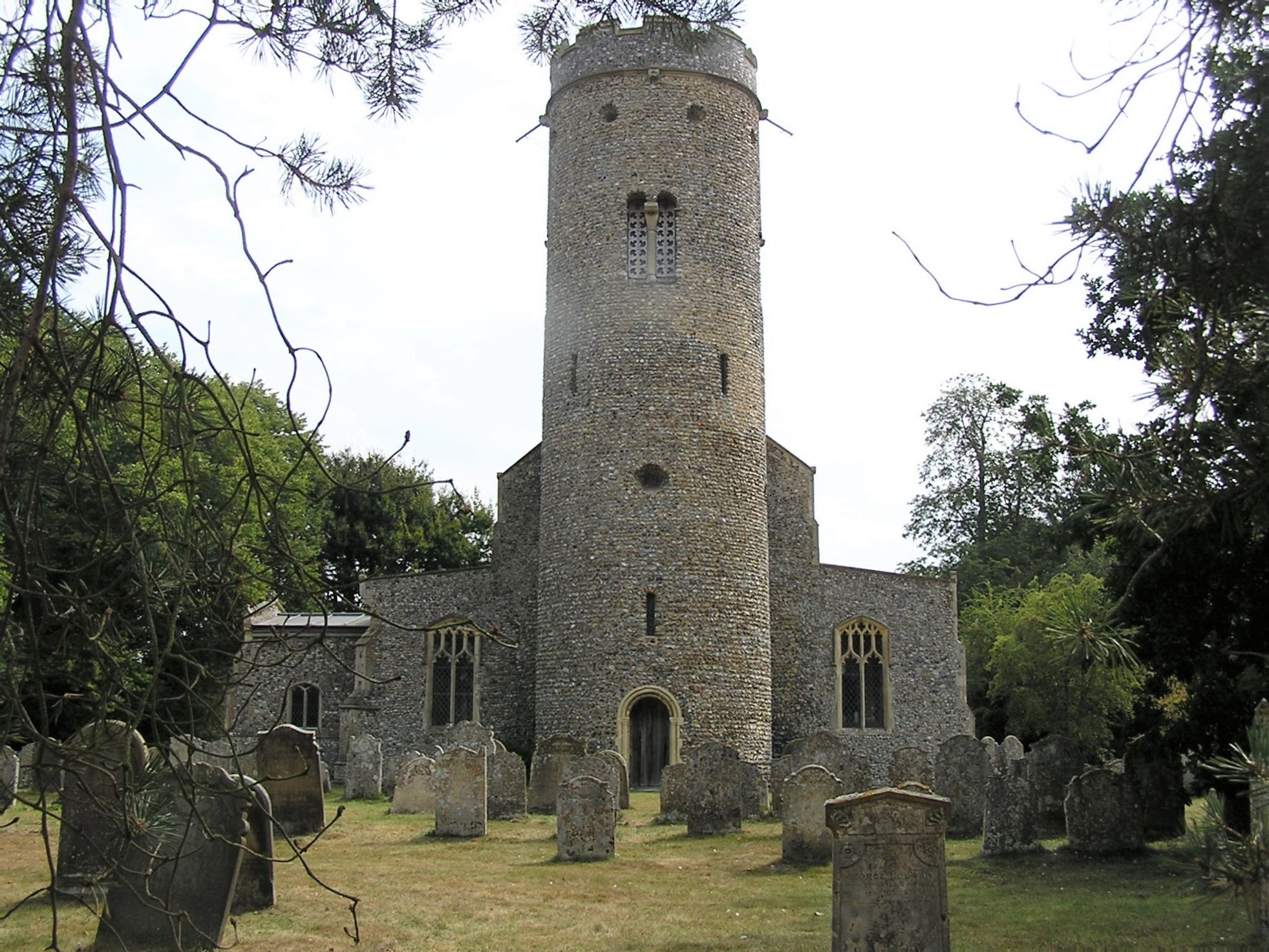
Church of St Peter, Forncett St Peter <span class="nowrap"><a title="https://historicengland.org.uk/listing/the-list/list-entry/1152619?section=official-list-entry" rel="nofollow ugc noopener" href="https://historicengland.org.uk/listing/the-list/list-entry/1152619?section=official-list-entry">Link</a><img style="margin-left:2px;" alt="External link" title="External link - shift click to open in new window" src="https://s1.geograph.org.uk/img/external.png" width="10" height="10"/></span>
Church of St Peter, Forncett St Peter
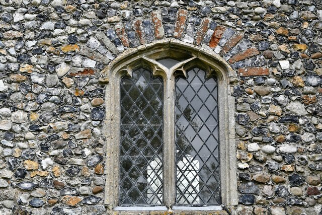
Forncett St Peter, St. Peter's Church: North nave window
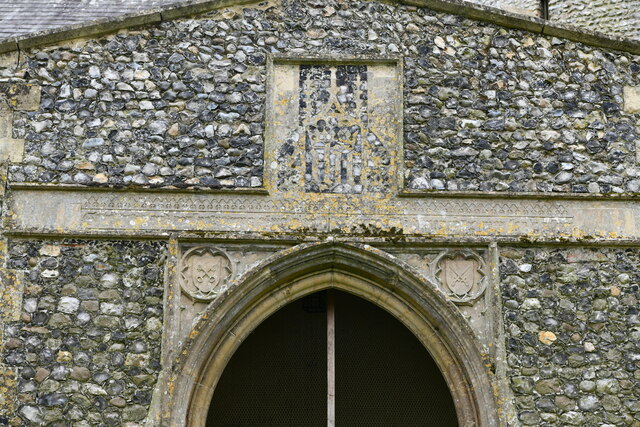
Forncett St Peter, St. Peter's Church: North entrance porch detail
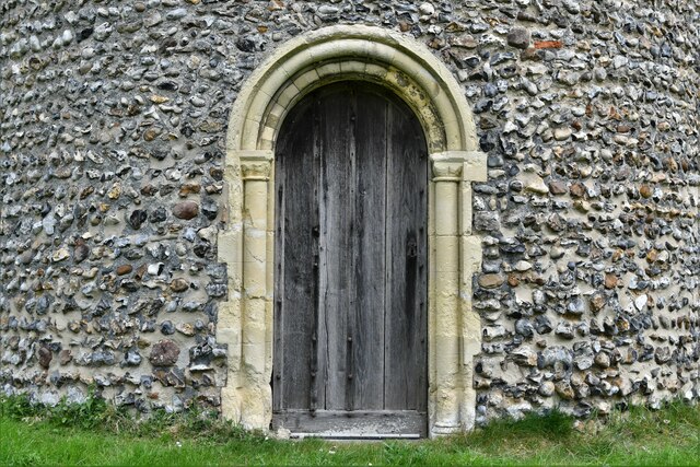
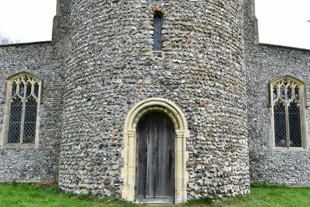
Forncett St Peter, St. Peter's Church: West tower doorway
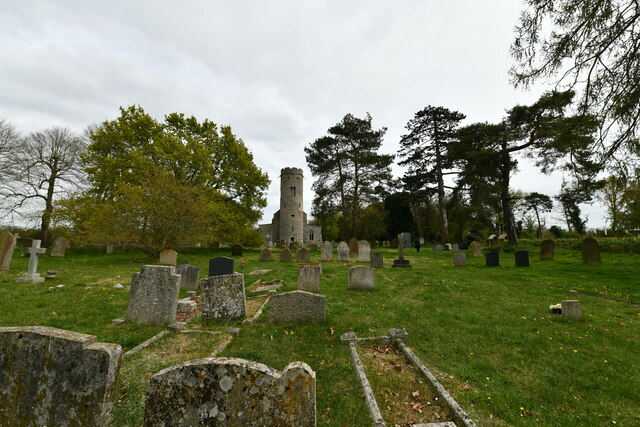
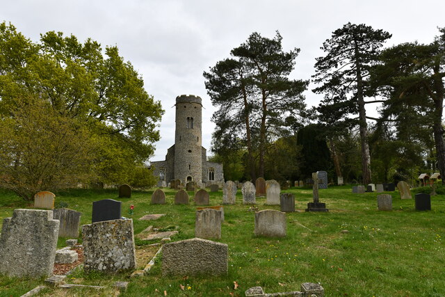
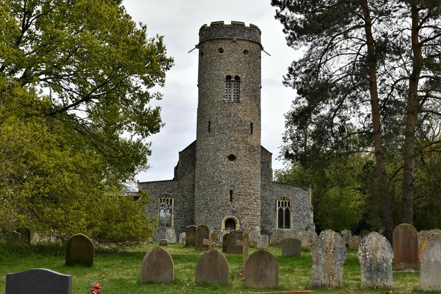
Forncett St Peter, St. Peter's Church: Western aspect
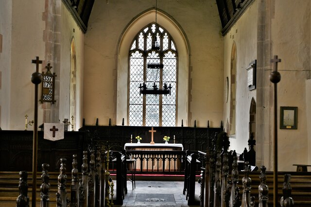
Forncett St Peter, St. Peter's Church: The chancel
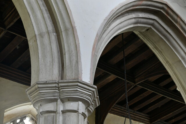
Forncett St Peter, St. Peter's Church: Nave capital
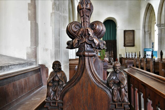
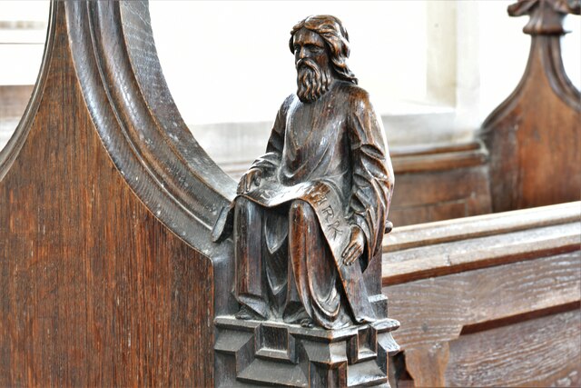
Forncett St Peter, St. Peter's Church: Finely carved mid Victorian bench end 1
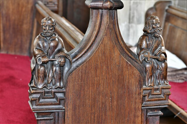
Forncett St Peter, St. Peter's Church: Finely carved mid Victorian bench end 2
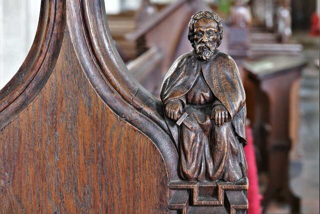
Forncett St Peter, St. Peter's Church: Finely carved mid Victorian bench end 2 One of the two figures thereon.
Forncett St Peter, St. Peter's Church: Finely carved mid Victorian bench end 2
One of the two figures thereon.
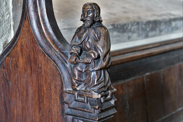
Forncett St Peter, St. Peter's Church: Finely carved mid Victorian bench end 3 One of the two figures thereon.
Forncett St Peter, St. Peter's Church: Finely carved mid Victorian bench end 3
One of the two figures thereon.
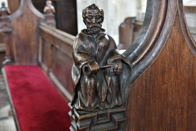
Forncett St Peter, St. Peter's Church: Finely carved mid Victorian bench end 4 One of the two figures thereon.
Forncett St Peter, St. Peter's Church: Finely carved mid Victorian bench end 4
One of the two figures thereon.
Forncett St Peter, St. Peter's Church: Finely carved mid Victorian bench end 5 One of the two figures thereon.
Forncett St Peter, St. Peter's Church: Finely carved mid Victorian bench end 5
One of the two figures thereon.
Show me another place!

Forncett St Peter is located at Grid Ref: TM1692 (Lat: 52.490797, Lng: 1.1856865)

Administrative County: Norfolk

District: South Norfolk

Police Authority: Norfolk

What 3 Words

///insisting.contexts.sprouts. Near Long Stratton, Norfolk

Nearby Locations

Forncett St Peter

Related Wikis

St Peter's Church, Forncett

St Peter's is one of seven churches in the parish of Upper Tas Valley All Saints in south Norfolk, ten miles south of Norwich, UK. The full name is St...

Forncett

Forncett is a civil parish in the English county of Norfolk. It covers an area of 10.76 km2 (4.15 sq mi) and had a population of 1,000 in 381 households...

Forncett Meadows

Forncett Meadows is a 5.2-hectare (13-acre) biological Site of Special Scientific Interest west of Long Stratton in Norfolk.This site in the valley of...

Forncett St Mary

Forncett St Mary is a village and former civil parish, now in the parish of Forncett, in the South Norfolk district, in the county of Norfolk, England...

Nearby Amenities

Located within 500m of 52.490797,1.1856865
Bus Stop
Hapton Turn, adj
Naptan AtcoCode: 2900F1310
Naptan Bearing: S
Naptan BusStopType: CUS
Naptan CommonName: Hapton Turn
Naptan Indicator: adj
Naptan Locality: Forncett
Naptan NaptanCode: nfoapmwd
Naptan Street: Low Road
Naptan Verified: no
Source: naptan_import
Lat/Long: 52.4951393/1.1869165
Bus Stop
Hapton Turn, opp
Naptan AtcoCode: 2900F1311
Naptan Bearing: N
Naptan BusStopType: CUS
Naptan CommonName: Hapton Turn
Naptan Indicator: opp
Naptan Landmark: Hapton Turn
Naptan Locality: Forncett
Naptan NaptanCode: nfoapmwg
Naptan Street: Low Road
Naptan Verified: no
Source: naptan_import
Lat/Long: 52.495142/1.1868136
Bus Stop
church
Naptan AtcoCode: 2900F132
Naptan Bearing: SW
Naptan BusStopType: CUS
Naptan CommonName: church
Naptan Indicator: adj
Naptan Landmark: church
Naptan Latitude: 52.4907252
Naptan Locality: Forncett St Peter
Naptan Longitude: 1.1858457
Naptan NaptanCode: nfoapmwj
Naptan ShortCommonName: church
Naptan Street: Aslacton Road
Shelter: yes
Source: naptan_import;survey
Lat/Long: 52.4910629/1.1859989
Bus Stop
church
Naptan AtcoCode: 2900F137
Naptan Bearing: N
Naptan BusStopType: CUS
Naptan CommonName: church
Naptan Indicator: opp
Naptan Landmark: church
Naptan Latitude: 52.4910627
Naptan Locality: Forncett St Peter
Naptan Longitude: 1.1860027
Naptan NaptanCode: nfoaptad
Naptan ShortCommonName: church
Naptan Street: Aslacton Road
Shelter: no
Source: naptan_import;survey
Lat/Long: 52.4912137/1.1859576
Forncett St Peter
Place: village
Website: https://forncettparishcouncil.norfolkparishes.gov.uk/
Lat/Long: 52.492028/1.1869686
Give Way
Lat/Long: 52.4908046/1.1857032
Ford: yes
Lat/Long: 52.4868823/1.183776
Barrier: stile
Foot: yes
Lat/Long: 52.4891206/1.1883679
Give Way
Lat/Long: 52.4908999/1.1859224
Barrier: stile
Foot: yes
Lat/Long: 52.4888377/1.1889336
Barrier: stile
Lat/Long: 52.4929438/1.1866467
Barrier: stile
Lat/Long: 52.4926544/1.1909113
The Forncetts
Alt Name: Forncett St Peter
Inscription: This sign was erected by the Forncett Parish Council and unveilled by the chairman Mr.N.G.Chapman to commemorate the marriage of H.R.H. The Prince of Wales and Lady Diana Spencer / July 1981 / Restored 2016 / The year of hte 90th birthday of HM Queen
Inscription 2: Elizabeth II
Man Made: village_sign
Material: wood
Lat/Long: 52.4908105/1.185936
Post Box
Collection Times: Mo-Fr 12:00; Sa 10:30
Operator: Royal Mail
Post Box Mounting: telegraph_pole
Post Box Type: lamp
Ref: NR16 1612
Royal Cypher: EIIR
Royal Cypher Wikidata: Q33102113
Lat/Long: 52.4901498/1.1855338
Power: pole
Lat/Long: 52.4936815/1.1837348
Power: pole
Transformer: distribution
Lat/Long: 52.4949226/1.1870018
Power: pole
Lat/Long: 52.492375/1.1829275
Power: pole
Lat/Long: 52.4899089/1.1814201
Power: pole
Lat/Long: 52.4949944/1.1845019
Power: pole
Lat/Long: 52.494965/1.185717
Power: pole
Lat/Long: 52.4873611/1.1814442
Power: pole
Lat/Long: 52.4910571/1.182147
Power: pole
Lat/Long: 52.4887722/1.1806771
Power: pole
Lat/Long: 52.4912351/1.1822596
Entrance: main
Lat/Long: 52.4905103/1.1874174
Entrance: yes
Lat/Long: 52.4904196/1.1872832
Entrance: yes
Lat/Long: 52.4903746/1.1876026
Power: pole
Lat/Long: 52.487548/1.1850321
Power: pole
Lat/Long: 52.4872737/1.1836347
Power: pole
Lat/Long: 52.4871348/1.1829588
Power: pole
Lat/Long: 52.4916425/1.1791661
Power: pole
Lat/Long: 52.4914776/1.1804295
Power: pole
Lat/Long: 52.4913649/1.181336
Power: pole
Lat/Long: 52.4910186/1.1833021
Give Way
Lat/Long: 52.490741/1.1858126
Leisure: playground
Lat/Long: 52.4901433/1.1869298
Telephone
Defibrillator
Booth: K6
Covered: booth
Defibrillator Location: inside old red phone box in Forncett St Peter
Emergency: defibrillator
Man Made: telephone_box
Lat/Long: 52.4908822/1.1852324
Power: pole
Lat/Long: 52.4919911/1.1873063
Power: pole
Lat/Long: 52.4878072/1.1864324
The data included in this document is from www.openstreetmap.org. The data is made available under ODbL.

Have you been to Forncett St Peter?

Leave your review of Forncett St Peter below (or comments, questions and feedback).