Forncett St Mary
Settlement in Norfolk South Norfolk
England
Forncett St Mary
The requested URL returned error: 429 Too Many Requests
If you have any feedback on the listing, please let us know in the comments section below.
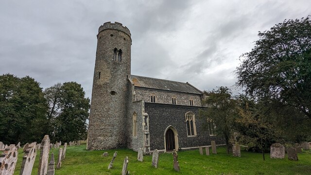
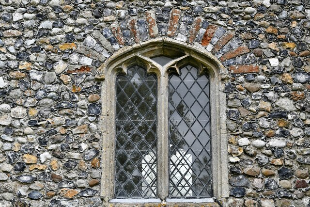
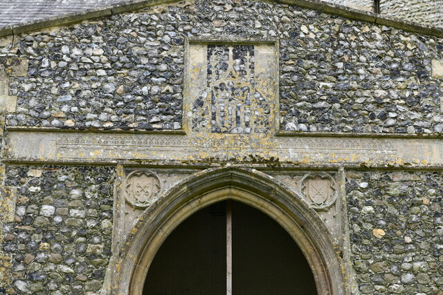
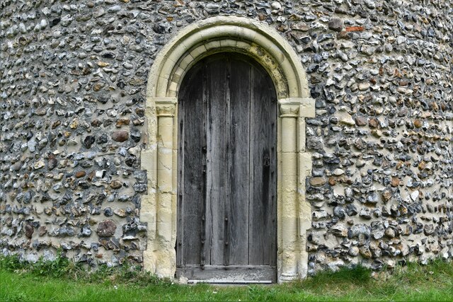
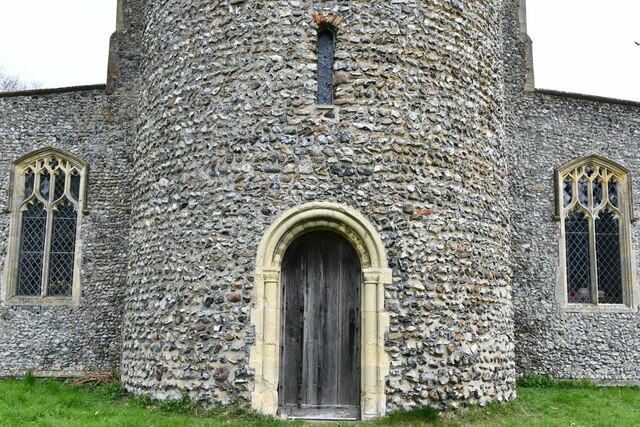
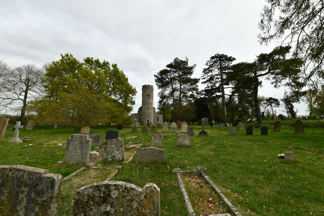
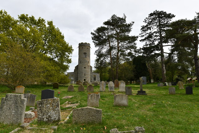
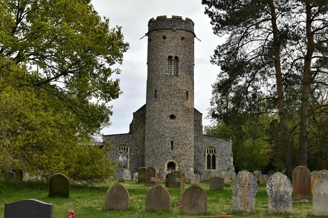
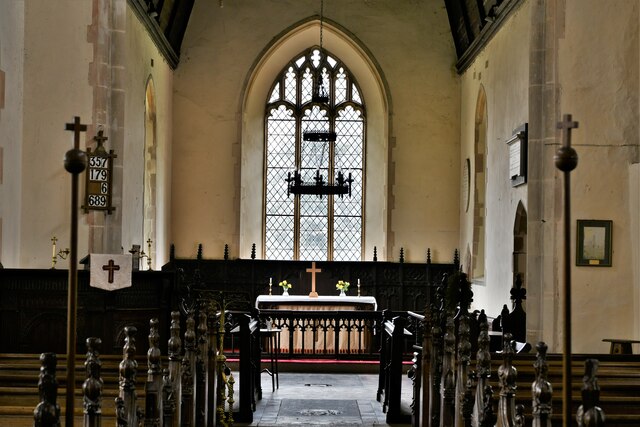
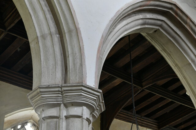
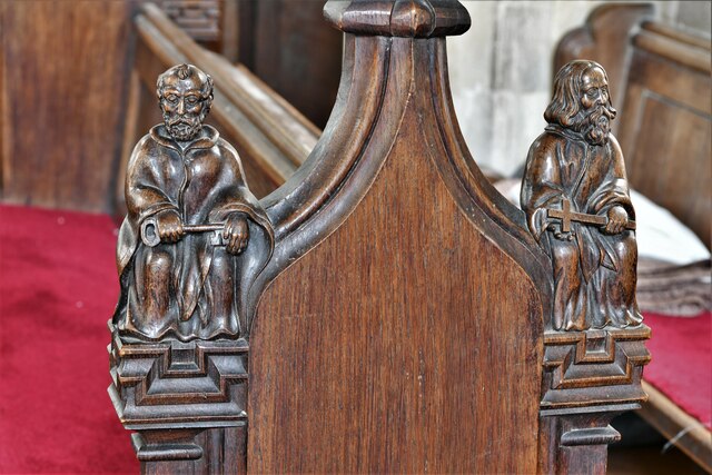
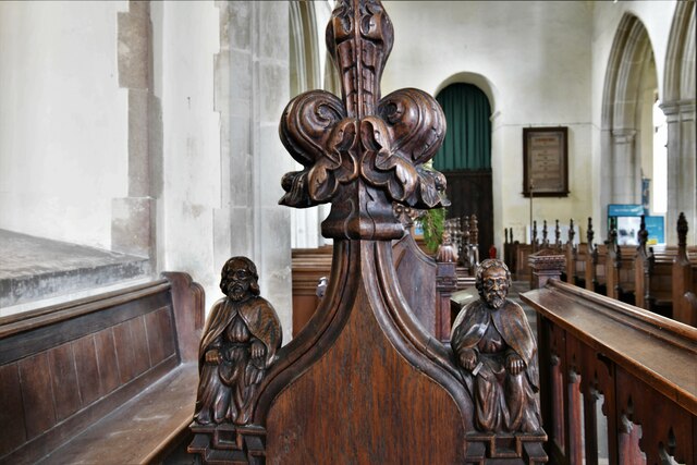
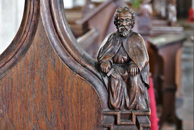
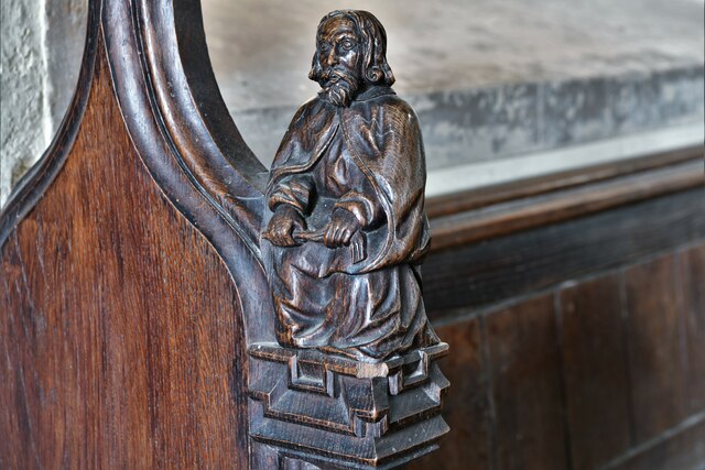
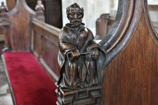
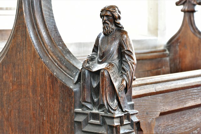
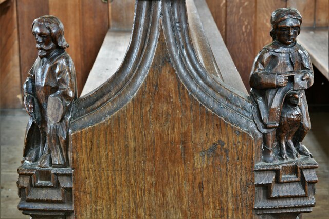
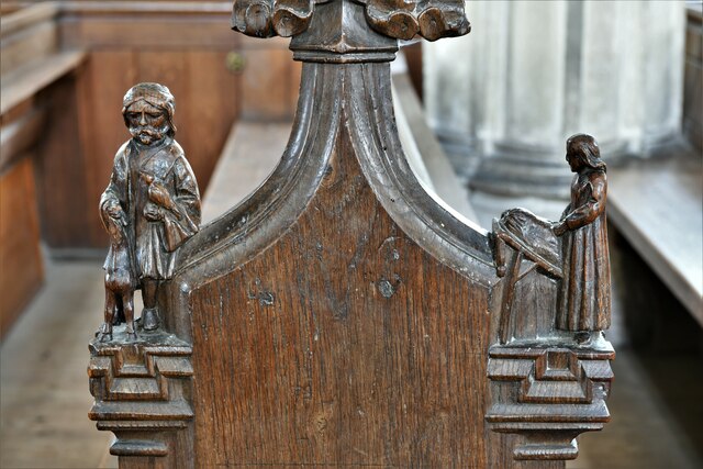
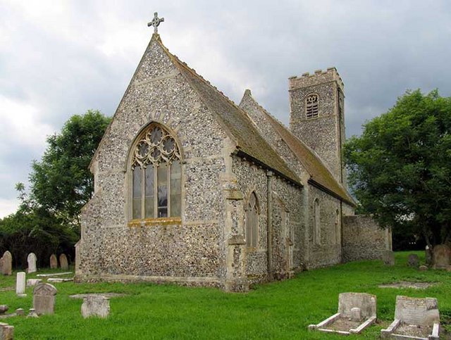
Forncett St Mary Images
Images are sourced within 2km of 52.502135/1.1847678 or Grid Reference TM1694. Thanks to Geograph Open Source API. All images are credited.
Forncett St Mary is located at Grid Ref: TM1694 (Lat: 52.502135, Lng: 1.1847678)
Administrative County: Norfolk
District: South Norfolk
Police Authority: Norfolk
What 3 Words
///chickens.generally.remainder. Near Long Stratton, Norfolk
Nearby Locations
Related Wikis
Forncett St Mary
Forncett St Mary is a village and former civil parish, now in the parish of Forncett, in the South Norfolk district, in the county of Norfolk, England...

Forncett railway station
Forncett railway station was a railway station in Forncett, South Norfolk located 104 miles from London Liverpool Street. It was opened in 1849 when Norwich...
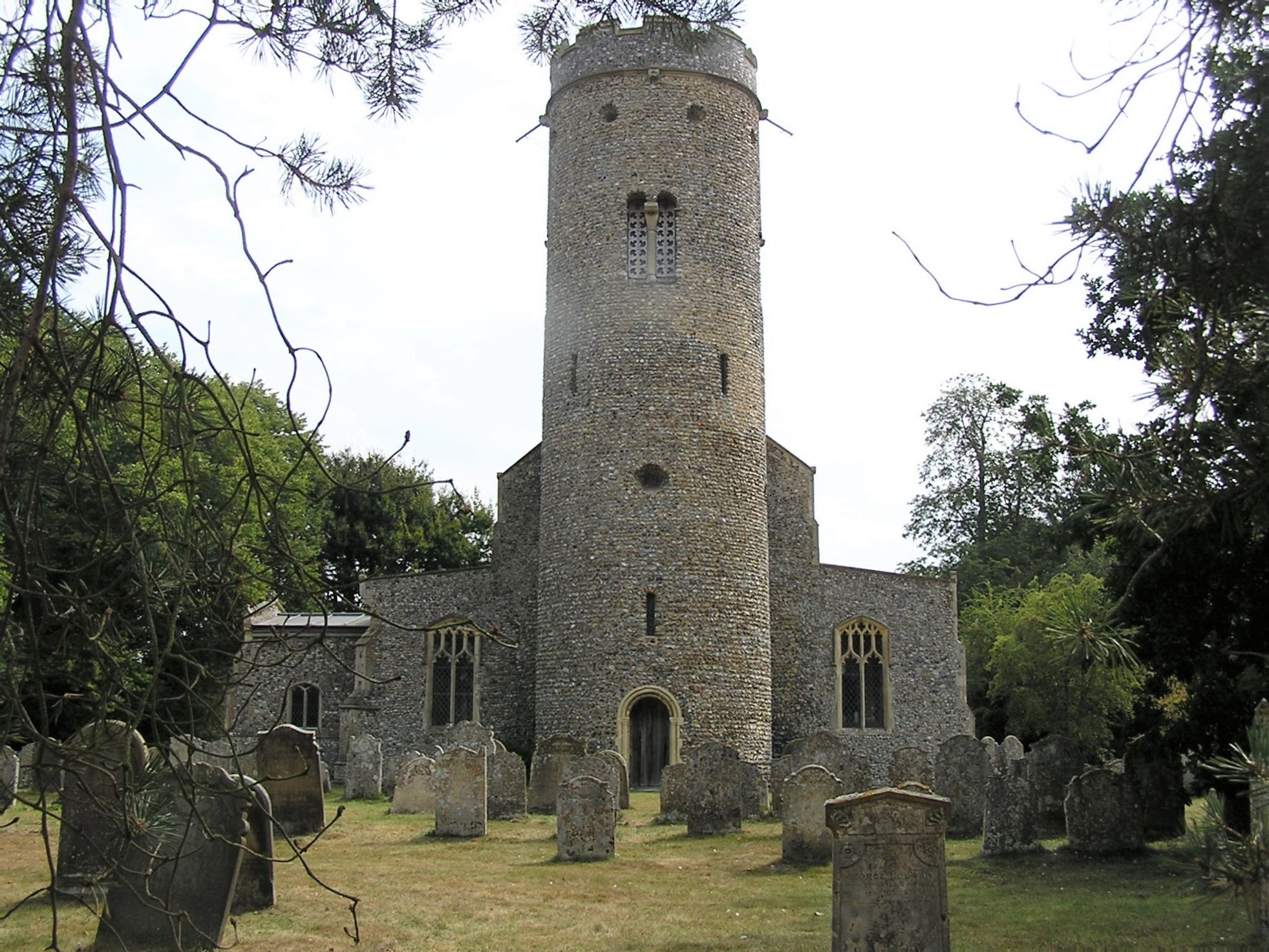
St Peter's Church, Forncett
St Peter's is one of seven churches in the parish of Upper Tas Valley All Saints in south Norfolk, ten miles south of Norwich, UK. The full name is St...
Forncett
Forncett is a civil parish in the English county of Norfolk. It covers an area of 10.76 km2 (4.15 sq mi) and had a population of 1,000 in 381 households...
Nearby Amenities
Located within 500m of 52.502135,1.1847678Have you been to Forncett St Mary?
Leave your review of Forncett St Mary below (or comments, questions and feedback).