Forda

Settlement in Cornwall

England

Forda

Lane downhill from Stibb Another of the many narrow unnamed lanes in this area, which has quite steep hills.
Lane downhill from Stibb Credit: Julian P Guffogg

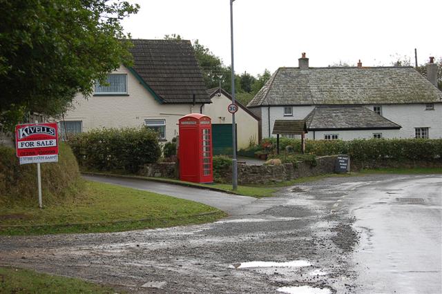
Forda is a small village located in the county of Cornwall, England. Situated in the southeast part of the county, it lies approximately 6 miles south of the town of Launceston and 12 miles north of the city of Plymouth. The village is nestled in a rural area surrounded by picturesque countryside and rolling hills.

Historically, Forda has been an agricultural community, with farming being the primary occupation for many of its residents. Today, however, the village has become more diverse, with a mix of both agricultural and non-agricultural industries contributing to the local economy.

The village itself is known for its charming character, with a handful of traditional stone cottages and buildings lining the narrow streets. It has a close-knit community feel, and residents often participate in local events and activities organized by the village hall.

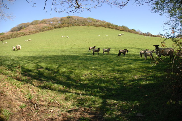
Nature enthusiasts will find plenty to explore in Forda and its surroundings. The village is located near the stunning Tamar Valley, a designated Area of Outstanding Natural Beauty, offering opportunities for hiking, cycling, and wildlife spotting. Additionally, the nearby Bodmin Moor, with its rugged landscapes and ancient landmarks, is a popular destination for outdoor enthusiasts.

For amenities, Forda is within a short driving distance of Launceston, where residents can find a wider range of shops, supermarkets, schools, and healthcare services. The village is also well-connected by road, with the A388 passing nearby, providing easy access to neighboring towns and cities.

If you have any feedback on the listing, please let us know in the comments section below.
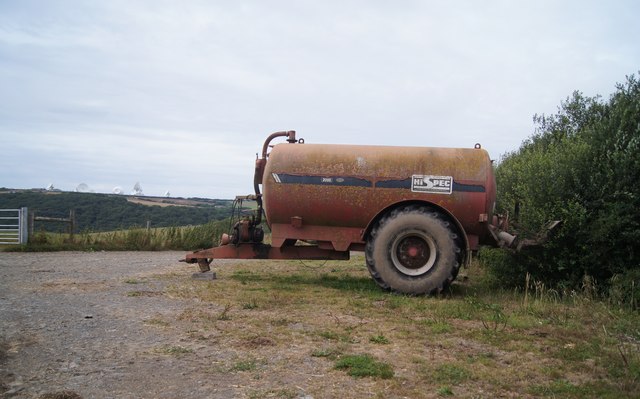
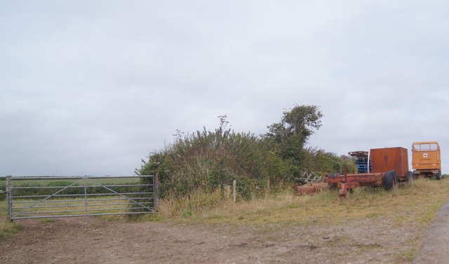
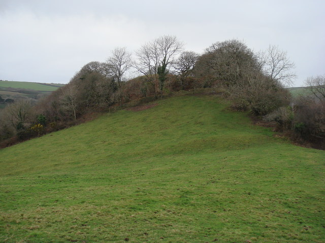
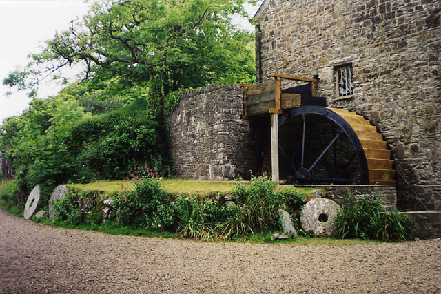
Forda Images

Images are sourced within 2km of 50.886134/-4.5190896 or Grid Reference SS2212. Thanks to Geograph Open Source API. All images are credited.

Lane downhill from Stibb Another of the many narrow unnamed lanes in this area, which has quite steep hills.
Lane downhill from Stibb
Another of the many narrow unnamed lanes in this area, which has quite steep hills.
Coombe Valley towards Burridge Farm
Sheep in field near Stibb The sea can be seen in the distance.
Sheep in field near Stibb
The sea can be seen in the distance.
Hi Spec at Endslee Farm? Note the 'listening' dishes in the background - this is GCHQ, Bude a "satellite ground station and eavesdropping centre", formerly known as GCHQ Composite Signals Organisation Station Morwenstow.
Hi Spec at Endslee Farm?
Note the 'listening' dishes in the background - this is GCHQ, Bude a "satellite ground station and eavesdropping centre", formerly known as GCHQ Composite Signals Organisation Station Morwenstow.
Passing Stursdon Farm
Assorted farm equipment
Cattle shed - Edslee Farm
Eastaway Manor A peaceful place to stay, within lovely countryside. Near to Morwenstow and Bude.
Eastaway Manor
A peaceful place to stay, within lovely countryside. Near to Morwenstow and Bude.
Stibb Village to the north of Bude.
Stibb
Village to the north of Bude.
Edslee Farm, near Coombe Valley View along road which runs on the northern rim of Coombe Valley.
Edslee Farm, near Coombe Valley
View along road which runs on the northern rim of Coombe Valley.
Oilseed rape, Edslee farm This seemed to be rape self-seeded from the previous year's crop on a field left as stubble. Other fields in the area had been ploughed recently, maybe this will be soon. View from road, towards Edslee Farm buildings and the sea.
Oilseed rape, Edslee farm
This seemed to be rape self-seeded from the previous year's crop on a field left as stubble. Other fields in the area had been ploughed recently, maybe this will be soon. View from road, towards Edslee Farm buildings and the sea.
Pasture near Woodlands Farm View from road junction towards Woodlands Farm buildings.
Pasture near Woodlands Farm
View from road junction towards Woodlands Farm buildings.
Bridge near Woodford A typical Cornish scene, the narrow lane comes down steeply from farmland either side into a narrow wooded valley.
Bridge near Woodford
A typical Cornish scene, the narrow lane comes down steeply from farmland either side into a narrow wooded valley.
Wild Garlic in Coombe Valley Ramson, (Allium ursinum) or wild garlic and Wood Anemones growing on the banks of a lane in Coombe Valley.
Wild Garlic in Coombe Valley
Ramson, (Allium ursinum) or wild garlic and Wood Anemones growing on the banks of a lane in Coombe Valley.
Pasture to the North West of Penstowe (Kilkhampton) Castle The site of Penstowe (Kilkhampton) Castle is situated to the west of the village of Kilkhampton. The castle is out of sight behind the trees at the top of the pasture. The fortification was probably built illegally during the 12th century civil war. Today little remains other than a motte, two baileys, plus associated earthworks.
Pasture to the North West of Penstowe (Kilkhampton) Castle
The site of Penstowe (Kilkhampton) Castle is situated to the west of the village of Kilkhampton. The castle is out of sight behind the trees at the top of the pasture. The fortification was probably built illegally during the 12th century civil war. Today little remains other than a motte, two baileys, plus associated earthworks.
Tractor outside a farm at Dean Stursdon
Burridge Farm Burridge Farm viewed from the road, beside the stream flowing through Coombe Valley.
Burridge Farm
Burridge Farm viewed from the road, beside the stream flowing through Coombe Valley.
Cattle shed, Edslee Farm View from the road through the shed to pasture beyond.
Cattle shed, Edslee Farm
View from the road through the shed to pasture beyond.
Show me another place!

Forda is located at Grid Ref: SS2212 (Lat: 50.886134, Lng: -4.5190896)

Unitary Authority: Cornwall

Police Authority: Devon and Cornwall

What 3 Words

///older.inspected.bluffs. Near Flexbury, Cornwall

Related Wikis

Woodford, Cornwall

Woodford is a hamlet in northeast Cornwall, England, United Kingdom. It is located southeast of Morwenstow, northwest of Kilkhampton and north of Flexbury...

Penstowe Castle

Penstowe Castle, also called Kilkhampton Castle, was a medieval fortification built near Kilkhampton, Cornwall, England, possibly during the years of...

Stibb

Stibb (Cornish: Stok) is a hamlet near Bude in Cornwall, England, United Kingdom.Stibb lies within the Cornwall Area of Outstanding Natural Beauty (AONB...

Stowe, Kilkhampton

Stowe House in the parish of Kilkhampton in Cornwall, England, UK, was a mansion built in 1679 by John Grenville, 1st Earl of Bath (1628–1701) and demolished...

RAF Cleave

RAF Cleave is a former Royal Air Force station located 4.2 miles (7 kilometres) north of Bude in Cornwall, United Kingdom, which was operational from 1939...

Coombe, Morwenstow

Coombe (Cornish: Komm) is a hamlet in northeast Cornwall, England, United Kingdom.Combe is situated in the civil parish of Morwenstow three miles (5 km...

GCHQ Bude

GCHQ Bude, also known as GCHQ Composite Signals Organisation Station Morwenstow, abbreviated to GCHQ CSO Morwenstow, is a UK Government satellite ground...

Brocklands Adventure Park

Brocklands Adventure Park was a family run leisure park situated near Bude in Cornwall. The park was established in 1977 originally as a Tearoom and shop...

Nearby Amenities

Located within 500m of 50.886134,-4.5190896
The data included in this document is from www.openstreetmap.org. The data is made available under ODbL.

Have you been to Forda?

Leave your review of Forda below (or comments, questions and feedback).