Flixton Ings

Settlement in Yorkshire Scarborough

England

Flixton Ings

Flixton Brow
Flixton Brow Credit: Jonathan Clitheroe

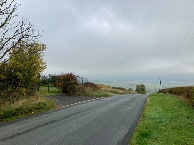
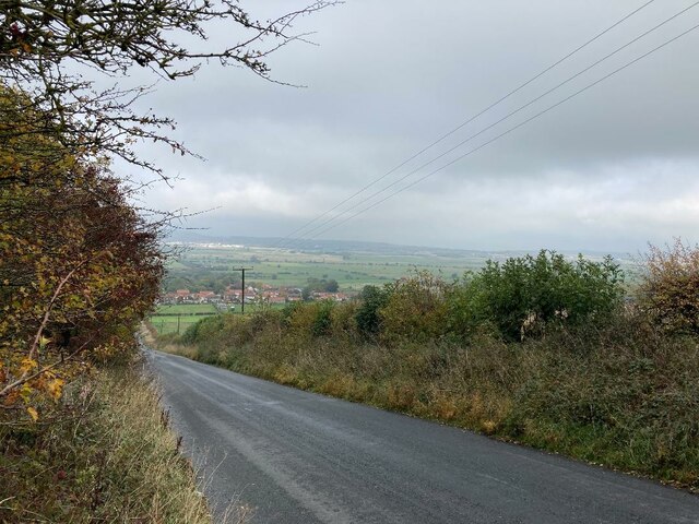
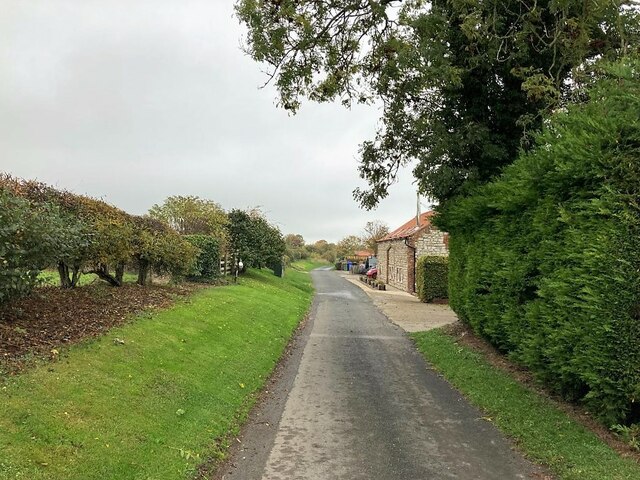
Flixton Ings is a nature reserve located in the county of Yorkshire, England. It spans an area of approximately 250 acres and is situated near the village of Flixton, within the borough of Scarborough. The reserve is managed by the Royal Society for the Protection of Birds (RSPB) and is known for its diverse range of habitats and wildlife.

The main feature of Flixton Ings is its wetland landscape, which consists of a series of ponds, marshes, and reedbeds. These habitats provide a haven for various bird species, making the reserve a popular destination for birdwatchers. Visitors can observe a wide variety of waterfowl, waders, and birds of prey throughout the year, including species such as bitterns, marsh harriers, and kingfishers.

Aside from its avian inhabitants, Flixton Ings also supports an array of other wildlife. Mammals like otters and water voles can occasionally be spotted along the waterways, while the reedbeds provide nesting sites for reed warblers and bearded tits. The reserve is also home to several species of dragonflies and butterflies, adding to its biodiversity.

Flixton Ings has a network of well-maintained footpaths and hides, allowing visitors to explore the reserve and observe its wildlife undisturbed. The RSPB provides information boards and guided walks to enhance the visitor experience, and there is a small visitor center where educational activities and events are occasionally held.

Overall, Flixton Ings offers a tranquil and picturesque setting for nature enthusiasts, providing a valuable habitat for a wide range of bird and animal species in the heart of Yorkshire.

If you have any feedback on the listing, please let us know in the comments section below.
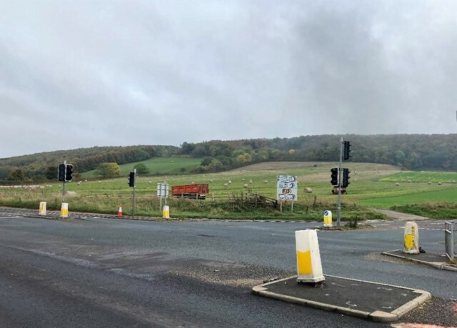
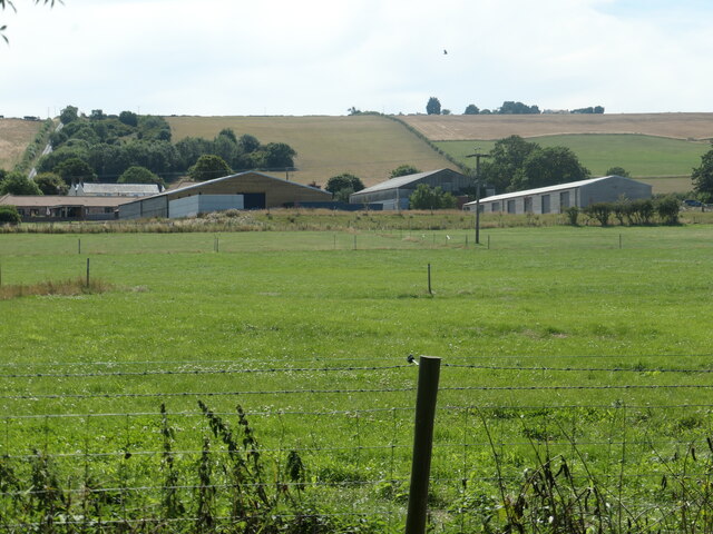
Flixton Ings Images

Images are sourced within 2km of 54.199916/-0.42598033 or Grid Reference TA0279. Thanks to Geograph Open Source API. All images are credited.

Flixton Brow
Flixton Brow
Descending Flixton Brow The village itself (situated mainly in TA0479) is directly ahead.
Descending Flixton Brow
The village itself (situated mainly in TA0479) is directly ahead.
Back Lane in Flixton
Flixton Caravan Park Park entrance pictured from the path next to the A1039 at Flixton Ings.
Flixton Caravan Park
Park entrance pictured from the path next to the A1039 at Flixton Ings.
A1039 Road at Staxton Staxton Brow (situated to the south in TA0178) rises in the distance.
A1039 Road at Staxton
Staxton Brow (situated to the south in TA0178) rises in the distance.
Spring House [pumping station], Flixton Carr Lane Built on top of a spring which is shown on the old large-scale OS maps. Managed by Yorkshire Water.
Spring House [pumping station], Flixton Carr Lane
Built on top of a spring which is shown on the old large-scale OS maps. Managed by Yorkshire Water.
Bench with a view of Flixton On a small green at the junction of North Street and Flixton Carr Lane.
Bench with a view of Flixton
On a small green at the junction of North Street and Flixton Carr Lane.
Manor Farm, Flixton, from the north With the Yorkshire Wolds rising up beyond.
Manor Farm, Flixton, from the north
With the Yorkshire Wolds rising up beyond.
Cattle feeders, east of Woodhouse Farm On the southern edge of Flixton Carr.
Cattle feeders, east of Woodhouse Farm
On the southern edge of Flixton Carr.
Straw bales, Flixton Ings The distant woodland is on Staxton Brow.
Straw bales, Flixton Ings
The distant woodland is on Staxton Brow.
Service station on the A64 Petrol 143.9p.
Diesel 153.9p.
Service station on the A64
Petrol 143.9p. Diesel 153.9p.
Service station on the A64 Petrol 143.9p.
Diesel 153.9p.
Service station on the A64
Petrol 143.9p. Diesel 153.9p.
Butchers on Main Street, Staxton Showing position of Postbox No. YO12 95.
See for <a href="https://www.geograph.org.uk/photo/7672229">TA0179 : Elizabeth II postbox on Main Street, Staxton</a> postbox.
Butchers on Main Street, Staxton
Showing position of Postbox No. YO12 95. See for TA0179 : Elizabeth II postbox on Main Street, Staxton postbox.
Main Street, Staxton Showing position of Postbox No. YO12 95.
See for <a href="https://www.geograph.org.uk/photo/7672229">TA0179 : Elizabeth II postbox on Main Street, Staxton</a> postbox.
Main Street, Staxton
Showing position of Postbox No. YO12 95. See for TA0179 : Elizabeth II postbox on Main Street, Staxton postbox.
Elizabeth II postbox on Main Street, Staxton Postbox No. YO12 95.
See <a href="https://www.geograph.org.uk/photo/7672221">TA0179 : Butchers on Main Street, Staxton</a> and <a href="https://www.geograph.org.uk/photo/7672223">TA0179 : Main Street, Staxton</a> for context.
Elizabeth II postbox on Main Street, Staxton
Bus stop and shelter on the A64, Staxton
Garage on Old Malton Road, Staxton
Show me another place!

Flixton Ings is located at Grid Ref: TA0279 (Lat: 54.199916, Lng: -0.42598033)

Division: East Riding

Administrative County: North Yorkshire

District: Scarborough

Police Authority: North Yorkshire

What 3 Words

///passenger.tram.peanut. Near Wold Newton, East Yorkshire

Related Wikis

Sherburn Rural District

Sherburn was a rural district in the East Riding of Yorkshire from 1894 to 1935. It was formed under the Local Government Act 1894 from that part of the...

Willerby, North Yorkshire

Willerby is a small village and civil parish in North Yorkshire, England. It is contiguous with neighbouring Staxton. The villages of Staxton, Willerby...

Staxton

Staxton is a village in North Yorkshire, England, part of the civil parish of Willerby, and situated approximately 8.2 miles from Scarborough town centre...

Binnington Carr Hoard

The Binnington Carr Hoard is a Roman coin hoard dating from the late 1st century AD. It contains 12 silver denarii within a copper alloy bell. It is in...

Nearby Amenities

Located within 500m of 54.199916,-0.42598033
Post Box
Post Box Mounting: wooden_post
Post Box Type: lamp
Ref: YO11 99
Royal Cypher: EIIR
Royal Cypher Wikidata: Q33102113
Lat/Long: 54.2004267/-0.4195273
Pub
Spital Inn
Addr City: Staxton
Addr Postcode: YO12 4NW
Addr Street: Spital Road
Lat/Long: 54.2012922/-0.4324472
Turning Circle
Lat/Long: 54.2001492/-0.4190046
Turning Circle
Lat/Long: 54.2000627/-0.4186484
Turning Circle
Lat/Long: 54.2000029/-0.4198875
The data included in this document is from www.openstreetmap.org. The data is made available under ODbL.

Have you been to Flixton Ings?

Leave your review of Flixton Ings below (or comments, questions and feedback).