Flixton

Settlement in Suffolk East Suffolk

England

Flixton

Site of the Denton Wash level crossing #58 The road was realigned into an 'Z' bend for the crossing as it was almost parallel with the planned alignment of the track. The layout of the new road has blocked access to the road on the other side and constructed a new access to Waveney Farm 120 yards further up the road.
Site of the Denton Wash level crossing #58 Credit: Adrian S Pye

Flixton is a small village located in the county of Suffolk, England. Situated approximately 7 miles south of the town of Bungay, Flixton is nestled in the beautiful countryside of East Anglia. With a population of around 500 residents, it maintains a close-knit and friendly community atmosphere.

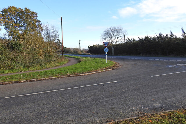
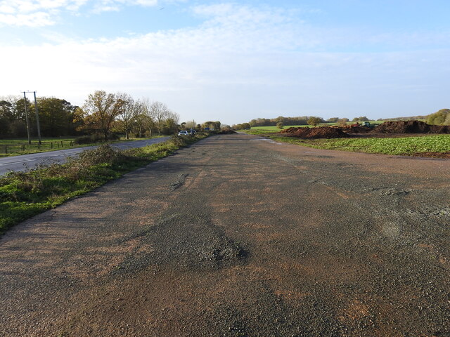
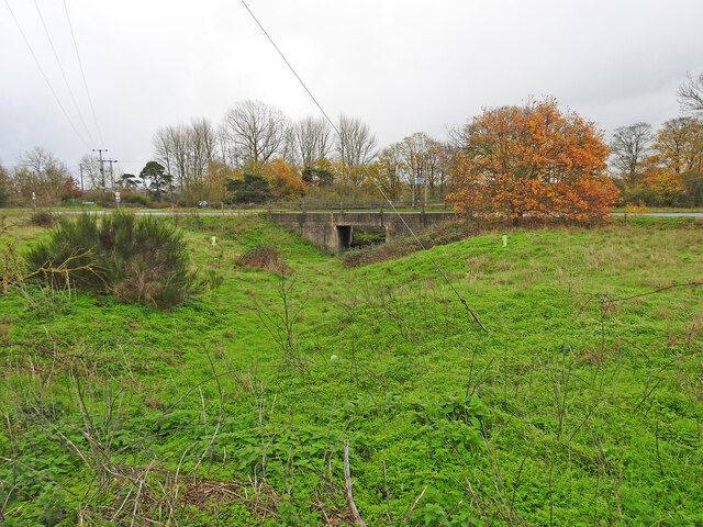
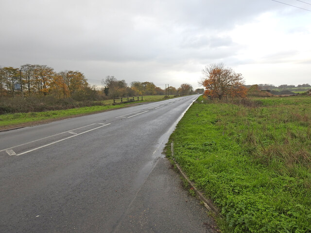
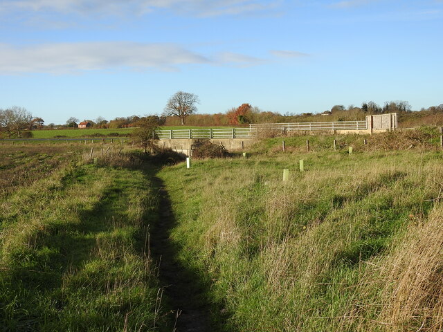
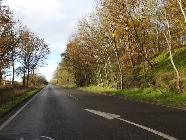
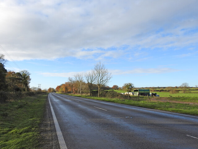
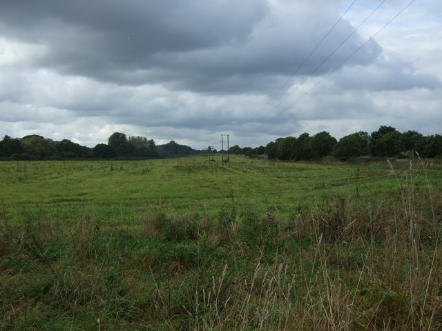
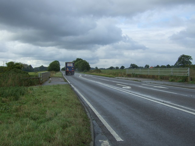
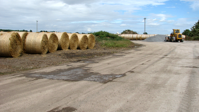
The village itself is characterized by its picturesque landscape, featuring rolling green fields, meandering rivers, and charming country lanes. Flixton is surrounded by agricultural land, with farming playing a significant role in the local economy.

Historically, Flixton is known for its connection to the aviation industry. During World War II, the village was home to RAF Bungay airfield, which played a vital role in the defense of Britain. Today, remnants of the airfield can still be seen, including the control tower and a memorial to the airfield's service.

Flixton offers a range of amenities to its residents and visitors. The village boasts a primary school, a pub, and a village hall, which hosts various community events throughout the year. The surrounding countryside provides ample opportunities for outdoor activities such as walking, cycling, and fishing.

Overall, Flixton is a peaceful and picturesque village that offers a tranquil escape from the hustle and bustle of city life. With its rich history and stunning natural surroundings, it is a hidden gem in the Suffolk countryside.

If you have any feedback on the listing, please let us know in the comments section below.
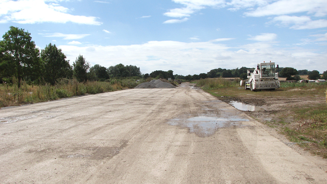
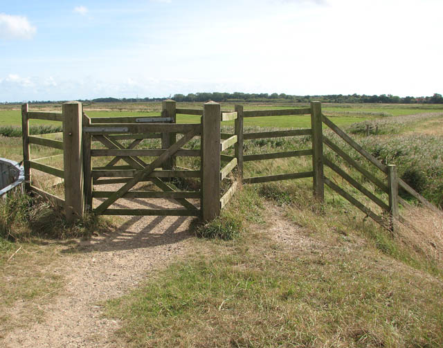
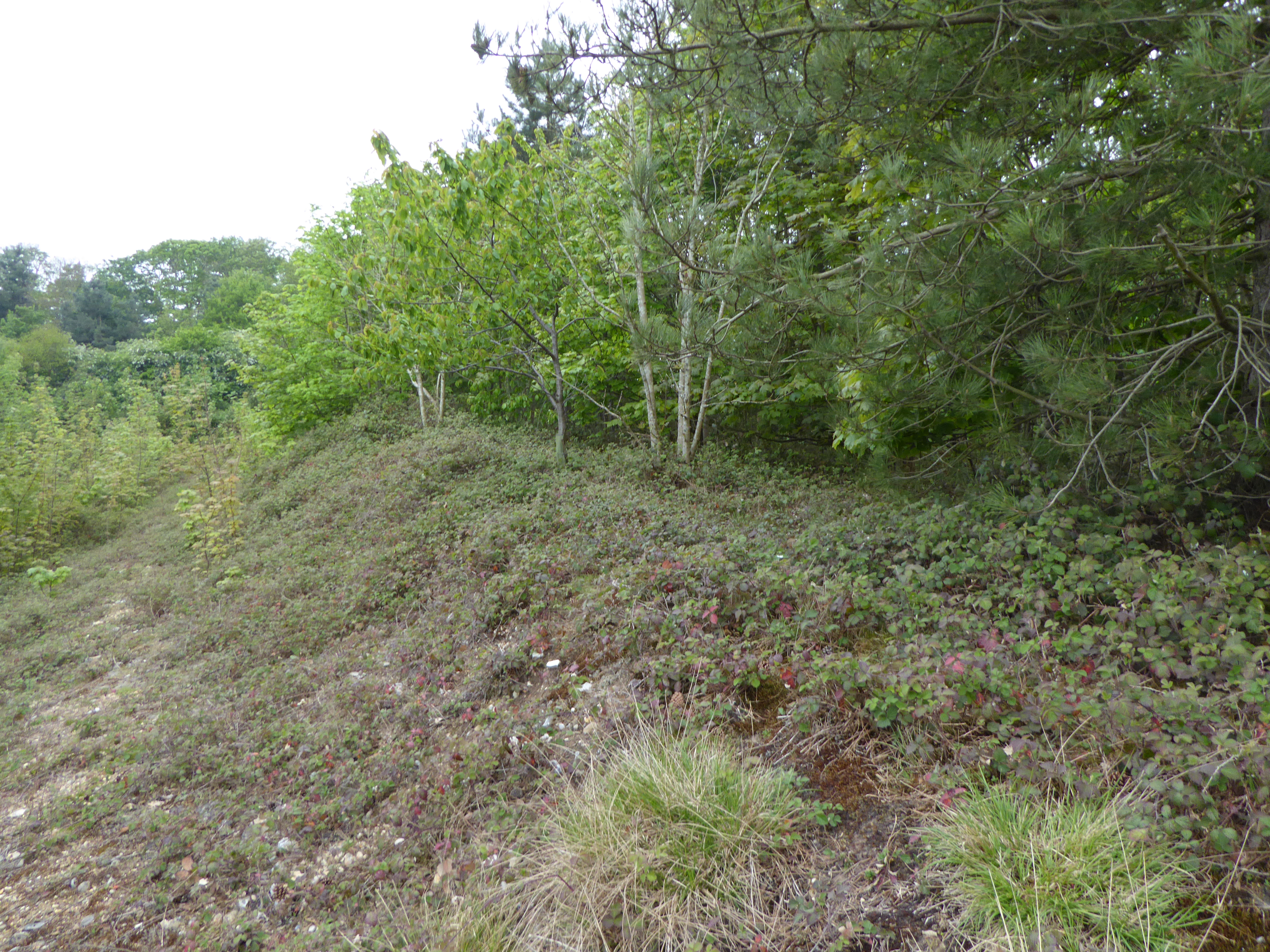
Flixton Images

Images are sourced within 2km of 52.432415/1.3972883 or Grid Reference TM3187. Thanks to Geograph Open Source API. All images are credited.

Site of the Denton Wash level crossing #58 The road was realigned into an 'Z' bend for the crossing as it was almost parallel with the planned alignment of the track. The layout of the new road has blocked access to the road on the other side and constructed a new access to Waveney Farm 120 yards further up the road.
Site of the Denton Wash level crossing #58
The road was realigned into an 'Z' bend for the crossing as it was almost parallel with the planned alignment of the track. The layout of the new road has blocked access to the road on the other side and constructed a new access to Waveney Farm 120 yards further up the road.
A143 east at turning for Earsham
Site of the WW2 munitions siding at Earsham This was the access road and the siding ran alongside, to the left of the concrete roadway. It was here that, during WW2, a siding of about 437 yards (400 metres) was constructed north of the track for munitions and other materials to be off-loaded onto trucks for delivery to the local airfields.  In the meantime many of the bombs were stored alongside roads nearby including Whitehouse and Hogg Lane and Denton Road. <a href="https://www.geograph.org.uk/photo/7354966">TM2990 : One of the eight similar hard-standings </a> It was a dispersed USAAF bomb storage facility that had its headquarters at Earsham Hall, which was requisitioned for the purpose. Many of the roadside hard standings remain extant to this day. During the time the siding was in existence more than 200,000 tons of freight, mainly bombs were delivered by 625 special trains.
Site of the WW2 munitions siding at Earsham
This was the access road and the siding ran alongside, to the left of the concrete roadway. It was here that, during WW2, a siding of about 437 yards (400 metres) was constructed north of the track for munitions and other materials to be off-loaded onto trucks for delivery to the local airfields. In the meantime many of the bombs were stored alongside roads nearby including Whitehouse and Hogg Lane and Denton Road. TM2990 : One of the eight similar hard-standings It was a dispersed USAAF bomb storage facility that had its headquarters at Earsham Hall, which was requisitioned for the purpose. Many of the roadside hard standings remain extant to this day. During the time the siding was in existence more than 200,000 tons of freight, mainly bombs were delivered by 625 special trains.
Underpass on the site of a former level crossing The Waveney Valley line had a level crossing (#61) where this road now passes over an underpass created for the farmer to access the land on the opposite side of the road.
Underpass on the site of a former level crossing
The Waveney Valley line had a level crossing (#61) where this road now passes over an underpass created for the farmer to access the land on the opposite side of the road.
A143 Old Railway Road past the munitions siding West (right) of the road was a loop siding which was installed in 1944 for materials and munitions to be offloaded for storage and onward delivery to the American Bomb Groups at the airfields in the vicinity for final delivery to Germany. A concrete roadway <a href="https://www.geograph.org.uk/photo/7355018">TM3087 : Site of the WW2 munitions siding at Earsham</a> stretched the length of the siding which was about 450 yards (411 metres).
The railings are the site of an underpass which was the location of the level crossing (#61) at Drakes Lane crossing.
A143 Old Railway Road past the munitions siding
West (right) of the road was a loop siding which was installed in 1944 for materials and munitions to be offloaded for storage and onward delivery to the American Bomb Groups at the airfields in the vicinity for final delivery to Germany. A concrete roadway TM3087 : Site of the WW2 munitions siding at Earsham stretched the length of the siding which was about 450 yards (411 metres). The railings are the site of an underpass which was the location of the level crossing (#61) at Drakes Lane crossing.
Underpass, the site of a former level crossing #63 The road alignment has been much altered but this was the site of the Five Acre Lane crossing. There is no sign of a gatekeepers cottage so it was the train crew who would have operated the gates. The gates were removed in 1954 while trains still ran on the line.
The old lane is now a footpath which follows the follows the same route as far as Pheasant's Walk.
Underpass, the site of a former level crossing #63
The road alignment has been much altered but this was the site of the Five Acre Lane crossing. There is no sign of a gatekeepers cottage so it was the train crew who would have operated the gates. The gates were removed in 1954 while trains still ran on the line. The old lane is now a footpath which follows the follows the same route as far as Pheasant's Walk.
The deep cutting at Buck Hills Plantation This was the deepest cutting on the line as it passed by the plantation. It was about 200 yards long, gradually petering out at each end.
The deep cutting at Buck Hills Plantation
This was the deepest cutting on the line as it passed by the plantation. It was about 200 yards long, gradually petering out at each end.
The location of the turnout into Earsham munitions siding The siding a turnout from the down-line was installed early in 1944 for offloading and further distribution of bombs and other munitions and materials to local airfields. In it's short history it received 625 special trains delivering 21,000 wagons, carrying a total of 200,000 tons of bombs and other freight. After unloading bombs were stored at various specified "dumps" beside local roads and in cleared woodland before distribution. see <a href="https://www.geograph.org.uk/photo/1899246">TM3089 : Concrete platform</a> Contemporary maps show it as a siding and not a loop as it is sometimes referred to.  I leave the question open for positive confirmation.
The location of the turnout into Earsham munitions siding
The siding a turnout from the down-line was installed early in 1944 for offloading and further distribution of bombs and other munitions and materials to local airfields. In it's short history it received 625 special trains delivering 21,000 wagons, carrying a total of 200,000 tons of bombs and other freight. After unloading bombs were stored at various specified "dumps" beside local roads and in cleared woodland before distribution. see TM3089 : Concrete platform Contemporary maps show it as a siding and not a loop as it is sometimes referred to. I leave the question open for positive confirmation.
Farmland beside the A143 near Earsham
A143 towards Harleston Looking south west near Earsham.
A143 towards Harleston
Looking south west near Earsham.
Five Acre Lane During WW2, a large area in the vicinity of Earsham Hall was used as a  bomb store by the United States Army Air Force, known as the Earsham Forward Ammunition Depot, Station 545.  Bombs were  stored in a number of woods and also beside several of the roads in the area, including Hall Road, Denton Road, Pheasants Walk, Five Acre Lane, Long Gate Lane and Hogg Lane. Earsham Hall was the headquarters and the camp was situated in the grounds. Bombs were brought there by railway > <a title="https://www.geograph.org.uk/photo/1597129" href="https://www.geograph.org.uk/photo/1597129">Link</a> and then transported on lorries to airfields all over East Anglia.
Five Acre Lane
During WW2, a large area in the vicinity of Earsham Hall was used as a bomb store by the United States Army Air Force, known as the Earsham Forward Ammunition Depot, Station 545. Bombs were stored in a number of woods and also beside several of the roads in the area, including Hall Road, Denton Road, Pheasants Walk, Five Acre Lane, Long Gate Lane and Hogg Lane. Earsham Hall was the headquarters and the camp was situated in the grounds. Bombs were brought there by railway > Link and then transported on lorries to airfields all over East Anglia.
Straw bales by Earsham Park Farm
Straw bales The track depicted here formed part of the sidings constructed for the Earsham Forward Ammunition Depot > <a title="https://www.geograph.org.uk/article/Earsham-Forward-Ammunition-Depot--AAF-Station-545" href="https://www.geograph.org.uk/article/Earsham-Forward-Ammunition-Depot--AAF-Station-545">Link</a> during WW2.
Straw bales
The track depicted here formed part of the sidings constructed for the Earsham Forward Ammunition Depot > Link during WW2.
Track beside the A143 road The track formed part of the sidings constructed for the Earsham Forward Ammunition Depot > <a title="https://www.geograph.org.uk/article/Earsham-Forward-Ammunition-Depot--AAF-Station-545" href="https://www.geograph.org.uk/article/Earsham-Forward-Ammunition-Depot--AAF-Station-545">Link</a> during WW2.
Track beside the A143 road
The track formed part of the sidings constructed for the Earsham Forward Ammunition Depot > Link during WW2.
Track beside the A143 road The track depicted here formed part of the sidings constructed for the Earsham Forward Ammunition Depot > <a title="https://www.geograph.org.uk/article/Earsham-Forward-Ammunition-Depot--AAF-Station-545" href="https://www.geograph.org.uk/article/Earsham-Forward-Ammunition-Depot--AAF-Station-545">Link</a> during WW2.
Track beside the A143 road
The track depicted here formed part of the sidings constructed for the Earsham Forward Ammunition Depot > Link during WW2.
River Farm, Earsham These farm buildings have walls constructed of brick and flint and were used for offices and equipment storage when the farm was used by The Otter Trust.
River Farm, Earsham
These farm buildings have walls constructed of brick and flint and were used for offices and equipment storage when the farm was used by The Otter Trust.
Lake and Sculpture at the River Waveney Study Centre At the time this photograph was taken this site was the River Waveney Study Centre. The lake here is manmade and was excavated by The Otter Trust in the 1970s. The sculpture seen in the background was part of an annual Art Trail and is located on a small island, which normally remains inaccessible to the general public.
Lake and Sculpture at the River Waveney Study Centre
At the time this photograph was taken this site was the River Waveney Study Centre. The lake here is manmade and was excavated by The Otter Trust in the 1970s. The sculpture seen in the background was part of an annual Art Trail and is located on a small island, which normally remains inaccessible to the general public.
Show me another place!

Flixton is located at Grid Ref: TM3187 (Lat: 52.432415, Lng: 1.3972883)

Administrative County: Suffolk

District: East Suffolk

Police Authority: Suffolk

What 3 Words

///ranges.lousy.ranch. Near Bungay, Suffolk

Nearby Locations

Flixton

Related Wikis

Flixton, The Saints

Flixton is a village and civil parish located in the north of the English county of Suffolk. It is around 2 miles (3.2 km) south-west of Bungay in the...

Flixton Priory

Flixton Priory was a nunnery under a prioress following the Augustinian rule, which formerly stood in the parish of Flixton in the north of the English...

RAF Bungay

Royal Air Force Bungay or more simply RAF Bungay (known locally as Flixton) is a former Royal Air Force station located 3 miles (4.8 km) south-west of...

Abbey Wood, Flixton

Abbey Wood, Flixton is an 18 hectare biological Site of Special Scientific Interest south—west of Bungay in Suffolk. It consists of two adjoining areas...

Angles Way

The Angles Way is a long-distance footpath in England, close to the River Waveney and River Little Ouse and thus close to the Norfolk/Suffolk border between...

Flixton Quarry

Flixton Quarry is a 0.7 hectares (1.7 acres) geological Site of Special Scientific Interest 3.75 miles (6.04 km) south-west of Bungay in the English county...

Earsham railway station

Earsham was a railway station in Earsham, Norfolk, England. It was located on the Waveney Valley Line which connected Beccles with the Great Eastern Main...
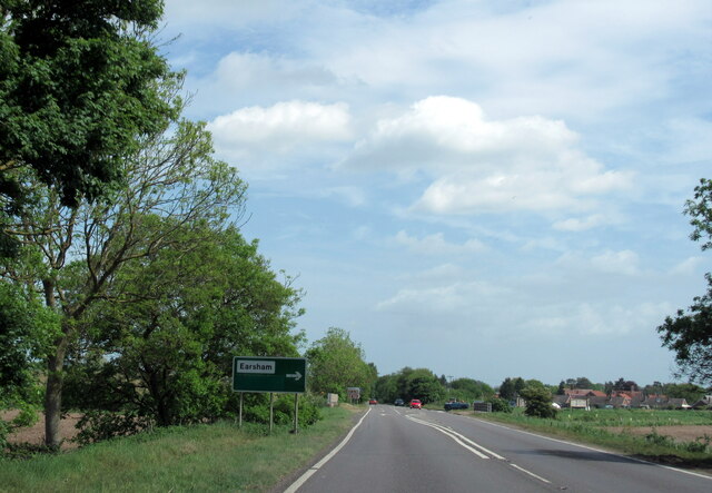
Earsham

Earsham is a village and civil parish in the English county of Norfolk. Earsham is located 1.7 kilometres (1.1 mi) west of its postal town of Bungay and...

Nearby Amenities

Located within 500m of 52.432415,1.3972883
Flixton
Created By: Potlatch 0.10b
Place: village
Wikidata: Q607312
Lat/Long: 52.4298936/1.4009365
Bus Stop
The Buck Inn
Bus: yes
Naptan AtcoCode: 390070357
Naptan Bearing: NE
Naptan BusStopType: CUS
Naptan CommonName: The Buck Inn
Naptan Indicator: adj
Naptan Landmark: The Buck Inn
Naptan NaptanCode: sufgwtpt
Naptan Street: The Street
Naptan Verified: no
Public Transport: platform
Source: naptan_import
Lat/Long: 52.4346306/1.3997069
Bus Stop
The Buck Inn
Bus: yes
Naptan AtcoCode: 390070358
Naptan Bearing: SW
Naptan BusStopType: CUS
Naptan CommonName: The Buck Inn
Naptan Indicator: opp
Naptan Landmark: The Buck Inn
Naptan NaptanCode: sufgwtpw
Naptan Street: The Street
Naptan Verified: no
Public Transport: platform
Source: naptan_import
Lat/Long: 52.4346526/1.3998667
Bus Stop
St Felix Rise
Bus: yes
Naptan AtcoCode: 390070987
Naptan Bearing: S
Naptan BusStopType: CUS
Naptan CommonName: St Felix Rise
Naptan Indicator: adj
Naptan Landmark: St Felix Rise
Naptan NaptanCode: sufjpmag
Naptan Street: Church Road
Naptan Verified: no
Public Transport: platform
Source: naptan_import
Lat/Long: 52.4317737/1.3974824
Bus Stop
St Felix Rise
Bus: yes
Naptan AtcoCode: 390070988
Naptan Bearing: N
Naptan BusStopType: CUS
Naptan CommonName: St Felix Rise
Naptan Indicator: opp
Naptan Landmark: St Felix Rise
Naptan NaptanCode: sufjpmaj
Naptan Street: Church Road
Naptan Verified: no
Public Transport: platform
Shelter: yes
Source: naptan_import
Lat/Long: 52.4316911/1.3972259
Parking
Fee: no
Parking: surface
Lat/Long: 52.4335909/1.3922755
Memory Post
Description: Post holds plaques in memory of folk
Historic: monument
Lat/Long: 52.4290879/1.3995694
Bench
Backrest: no
Material: wood
Seats: 3
Lat/Long: 52.4288731/1.3998052
Bench
Backrest: yes
Material: wood
Seats: 3
Lat/Long: 52.4290862/1.3996717
Defibrillator
Booth: K6
Covered: booth
Defibrillator Location: inside old red phone box, Church Road, Flixton
Disused Amenity: telephone
Emergency: defibrillator
Man Made: telephone_box
Lat/Long: 52.4318319/1.397304
Man Made: village_sign
Lat/Long: 52.4321107/1.396718
Post Box
Collection Times: Mo-Fr 09:00; Sa 07:00
Post Box Mounting: pier
Post Box Type: lamp
Ref: NR35 3511D
Royal Cypher: EIIR
Lat/Long: 52.4344276/1.3995565
Post Box
Collection Times: Mo-Fr 09:00; Sa 07:00
Post Box Design: 2010_pattern
Post Box Mounting: pier
Post Box Type: lamp
Ref: NR35 3508D
Royal Cypher: EIIR
Lat/Long: 52.4308892/1.3983884
The data included in this document is from www.openstreetmap.org. The data is made available under ODbL.

Have you been to Flixton?

Leave your review of Flixton below (or comments, questions and feedback).