Fisher's Hill

Settlement in Surrey Woking

England

Fisher's Hill

Basingstoke Canal, Woking View  of the canal near Parley Drive Bridge looking towards Woking
Basingstoke Canal, Woking Credit: Richard Rogerson

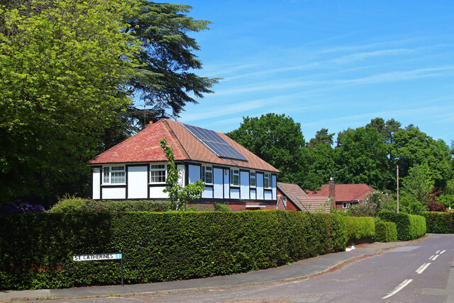
Located in the county of Surrey, Fisher's Hill is a small but picturesque village situated in the southeastern part of England. With a population of around 1,500 residents, it exudes a charming and tranquil atmosphere, making it an attractive place to live or visit.

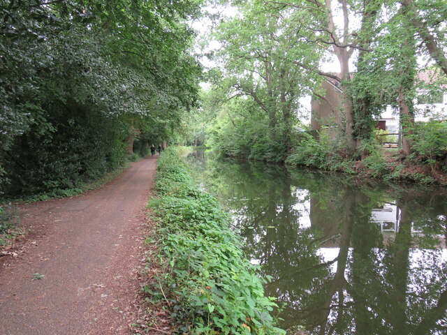
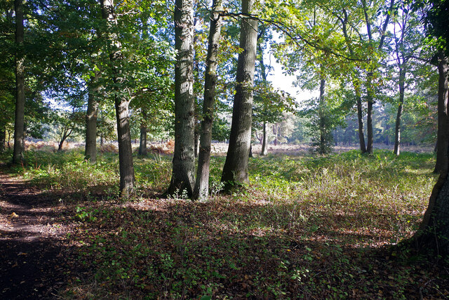
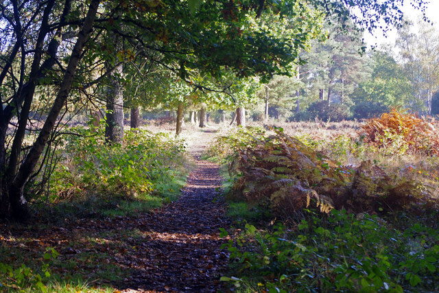
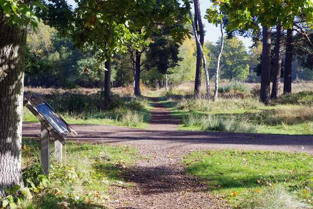
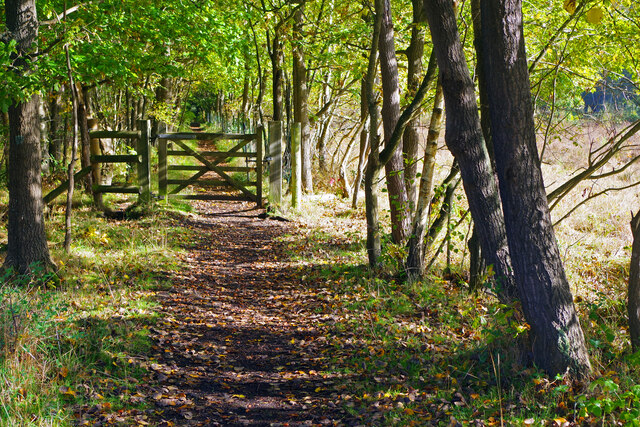
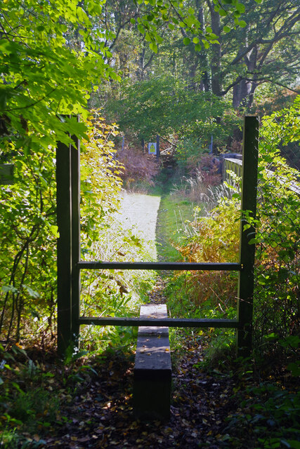
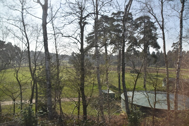
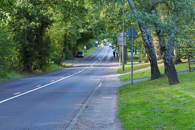
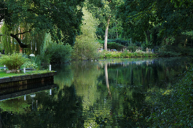
Surrounded by breathtaking natural beauty, Fisher's Hill is nestled within the stunning Surrey Hills Area of Outstanding Natural Beauty. The village is blessed with rolling hills, verdant meadows, and lush woodlands, providing ample opportunities for outdoor activities such as hiking, cycling, and horseback riding.

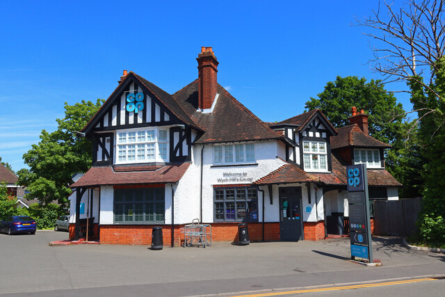
Despite its small size, Fisher's Hill boasts a strong sense of community, with a range of amenities and facilities to cater to its residents. These include a village hall, a community center, a local pub, and a quaint village shop. Additionally, the village is proud of its close-knit community spirit, evident through various social events and gatherings throughout the year.

For those seeking a taste of history, Fisher's Hill offers several historic landmarks and architectural gems. The St. Mary's Church, a Grade II listed building, stands as a testament to the village's rich heritage. Its striking architecture and peaceful surroundings make it a popular spot for visitors and locals alike.

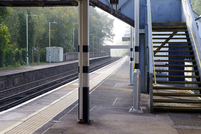
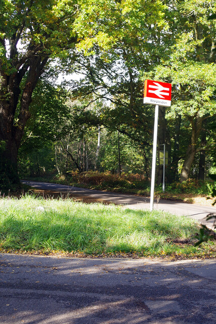
Furthermore, Fisher's Hill benefits from its proximity to larger towns and cities. The bustling market town of Guildford is just a short drive away, offering an array of shopping, dining, and entertainment options. Additionally, with excellent transport links, including nearby train stations and major road networks, residents can easily access other parts of Surrey and beyond.

In summary, Fisher's Hill is a delightful village in Surrey, offering a harmonious blend of natural beauty, community spirit, and history. Its idyllic location and close proximity to amenities make it an appealing destination for both residents and visitors.

If you have any feedback on the listing, please let us know in the comments section below.

Fisher's Hill Images

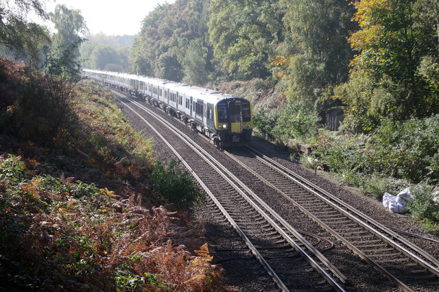
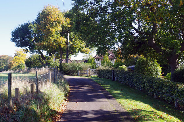
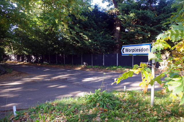
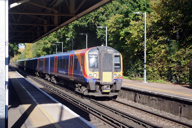
Images are sourced within 2km of 51.300639/-0.59719601 or Grid Reference SU9756. Thanks to Geograph Open Source API. All images are credited.

Basingstoke Canal, Woking View  of the canal near Parley Drive Bridge looking towards Woking
Basingstoke Canal, Woking
View of the canal near Parley Drive Bridge looking towards Woking
Worplesdon Station Worplesdon station was built between Woking and Guildford in 1883. The surrounding area has remained largely rural although there are some large houses within walking distance. It is therefore a quiet place for most of the day but nevertheless enjoys an hourly off-peak service in either direction. In this view, looking towards Guildford, the platforms are deserted and there is a hint of morning mist through the bridge (which was soon to clear leaving a bright sunny day).
Worplesdon Station
Worplesdon station was built between Woking and Guildford in 1883. The surrounding area has remained largely rural although there are some large houses within walking distance. It is therefore a quiet place for most of the day but nevertheless enjoys an hourly off-peak service in either direction. In this view, looking towards Guildford, the platforms are deserted and there is a hint of morning mist through the bridge (which was soon to clear leaving a bright sunny day).
Outside Worplesdon Station Worplesdon station is approached via a short drive leading off Prey Heath Road. At the junction the National Rail sign leans at a jaunty angle.
Outside Worplesdon Station
Worplesdon station is approached via a short drive leading off Prey Heath Road. At the junction the National Rail sign leans at a jaunty angle.
Prey Heath Prey Heath is bisected by the Woking to Guildford railway line and this is the area to the east of it. A path leads off Prey Heath Road at first in a northerly direction before making a dogleg turn across the heath; this is a convenient point of access from Worplesdon station.
Prey Heath
Prey Heath is bisected by the Woking to Guildford railway line and this is the area to the east of it. A path leads off Prey Heath Road at first in a northerly direction before making a dogleg turn across the heath; this is a convenient point of access from Worplesdon station.
Path across Prey Heath A public footpath heads in a north-easterly direction across this surviving stretch of Surrey heathland.
Path across Prey Heath
A public footpath heads in a north-easterly direction across this surviving stretch of Surrey heathland.
Prey Heath This is part of the eastern section of the heath, east of the Woking to Guildford railway line. The information board makes the point that the scene is always changing across the year.
Prey Heath
This is part of the eastern section of the heath, east of the Woking to Guildford railway line. The information board makes the point that the scene is always changing across the year.
Path across Prey Heath Here the path passes through a wooded section of the heath. The gate is probably there for stock control purposes.
Path across Prey Heath
Here the path passes through a wooded section of the heath. The gate is probably there for stock control purposes.
Path to Havering Farm This public footpath, effectively an extension of Burdenshot Hill, leads across the stile and then over the Woking to Guildford railway.
Path to Havering Farm
This public footpath, effectively an extension of Burdenshot Hill, leads across the stile and then over the Woking to Guildford railway.
Railway south of Worplesdon A Portsmouth to London Waterloo train approaches Worplesdon at speed on the Portsmouth Direct Line.
Railway south of Worplesdon
A Portsmouth to London Waterloo train approaches Worplesdon at speed on the Portsmouth Direct Line.
Burdenshot Hill, Worplesdon Burdenshot Hill is a private road to the north east of Worplesdon village lined with some very large houses. The one in view here is called Oakhanger. From the end of this road a path leads to Worplesdon station.
Burdenshot Hill, Worplesdon
Burdenshot Hill is a private road to the north east of Worplesdon village lined with some very large houses. The one in view here is called Oakhanger. From the end of this road a path leads to Worplesdon station.
The way to Worplesdon Motorists are directed down Goose Rye Road to Worplesdon village. Worplesdon was recorded in the Domesday Book as Werpesdune and there is evidence that the area was settled in Roman times; the Goose Rye name is derived from a local farm.
The way to Worplesdon
Motorists are directed down Goose Rye Road to Worplesdon village. Worplesdon was recorded in the Domesday Book as Werpesdune and there is evidence that the area was settled in Roman times; the Goose Rye name is derived from a local farm.
Worplesdon Station A non-stopping London Waterloo to Haslemere train passes through Worplesdon station between Woking and Guildford on the Portsmouth Direct Line.
Worplesdon Station
A non-stopping London Waterloo to Haslemere train passes through Worplesdon station between Woking and Guildford on the Portsmouth Direct Line.
Wynch Hill Coop supermarket near Woking.
Wynch Hill
Coop supermarket near Woking.
St Catherines Suburban road in Woking.
St Catherines
Suburban road in Woking.
West Hill Golf Course
Barges, Basingstoke Canal A pair of barges in the basin by the Hermitage Bridge.
Barges, Basingstoke Canal
A pair of barges in the basin by the Hermitage Bridge.
Hermitage Road, Knaphill Looking north along the Hermitage Road from the Hermitage Bridge.
Hermitage Road, Knaphill
Looking north along the Hermitage Road from the Hermitage Bridge.
Basin, Basingstoke Canal A tree-shrouded basin to the east of the Hermitage Bridge in Knaphill.
Basin, Basingstoke Canal
A tree-shrouded basin to the east of the Hermitage Bridge in Knaphill.
Show me another place!

Fisher's Hill is located at Grid Ref: SU9756 (Lat: 51.300639, Lng: -0.59719601)

Administrative County: Surrey

District: Woking

Police Authority: Surrey

What 3 Words

///roses.pilots.moment. Near Knaphill, Surrey

Nearby Locations

Fisher's Hill

Related Wikis

Woking (UK Parliament constituency)

Woking is a constituency represented in the House of Commons of the UK Parliament since 2010 by Jonathan Lord, a Conservative. Since it was first created...

St John's Church, Woking

St John's Church is located in St John's, Woking, England. The church is in the parish of St John's, Diocese of Guildford, which in turn is in the Province...

St John's, Woking

St Johns and Hook Heath is a suburban ward in Surrey consisting of two settlements founded in the 19th century in the medieval parish of Woking. The two...

Smart's and Prey Heaths

Smart's and Prey Heaths is a 39-hectare (96-acre) biological Site of Special Scientific Interest south-west of Woking in Surrey.These mainly damp heaths...

Nearby Amenities

Located within 500m of 51.300639,-0.59719601
Gorse Hill
Place: locality
Source: road_sign
Lat/Long: 51.3019804/-0.5952989
Post Box
Check Date: 2019-05-16
Collection Times: Mo-Fr 16:15; Sa 10:30; Su off
Operator: Royal Mail
Post Box Type: wall
Ref: GU22 64
Royal Cypher: EIIR
Royal Cypher Wikidata: Q33102113
Lat/Long: 51.3006013/-0.5975847
Give Way
Source: Surrey-Air_Survey
Lat/Long: 51.2991197/-0.6034836
The data included in this document is from www.openstreetmap.org. The data is made available under ODbL.

Have you been to Fisher's Hill?

Leave your review of Fisher's Hill below (or comments, questions and feedback).