Fisher's Row

Settlement in Lancashire Wyre

England

Fisher's Row

Carved Bridge Name 'C.C. BROADFLEET BRIDGE' cut boldly into parapet. The bridge was built in 1840, as shown  by <a href="https://www.geograph.org.uk/photo/6942271">SD4048 : Bridge Date</a>.
Carved Bridge Name Credit: Phil Johnstone

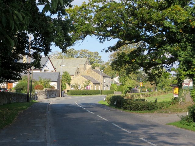
Fisher's Row is a picturesque street located in the county of Lancashire, England. Situated in the heart of a bustling market town, the row is known for its historical significance and charming architecture. The street is lined with a row of well-preserved Georgian terraced houses, which exude a sense of timeless elegance.

Fisher's Row has a rich history, dating back to the 18th century when it was originally built to accommodate the growing population of the town. The houses were primarily constructed for local fishermen, who lived and worked in the area. Today, the street serves as a reminder of Lancashire's maritime heritage, with its name paying homage to the fishermen who once resided there.

The architectural style of Fisher's Row is characterized by its symmetrical facades, sash windows, and distinctive doorways. Many of the houses have been carefully restored, preserving their original features and adding to the area's charm. The street is also adorned with vibrant flower boxes and hanging baskets during the summer months, enhancing its visual appeal.

Fisher's Row is not only aesthetically pleasing but also conveniently located. Within walking distance, residents and visitors can find a range of amenities, including shops, restaurants, and cultural attractions. The street is also in close proximity to the town's bustling market square, where locals gather to buy fresh produce and unique crafts.

In conclusion, Fisher's Row is a delightful destination in Lancashire, offering a glimpse into the region's history and showcasing beautiful Georgian architecture. Whether strolling along the street or exploring the surrounding area, visitors are sure to be captivated by the charm and character of this historic row.

If you have any feedback on the listing, please let us know in the comments section below.
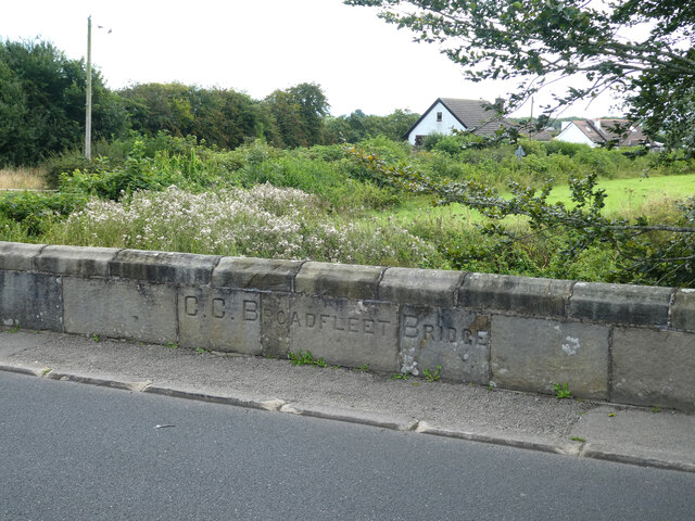
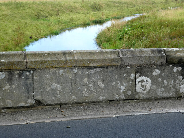
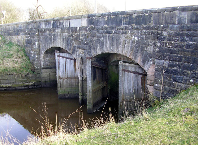
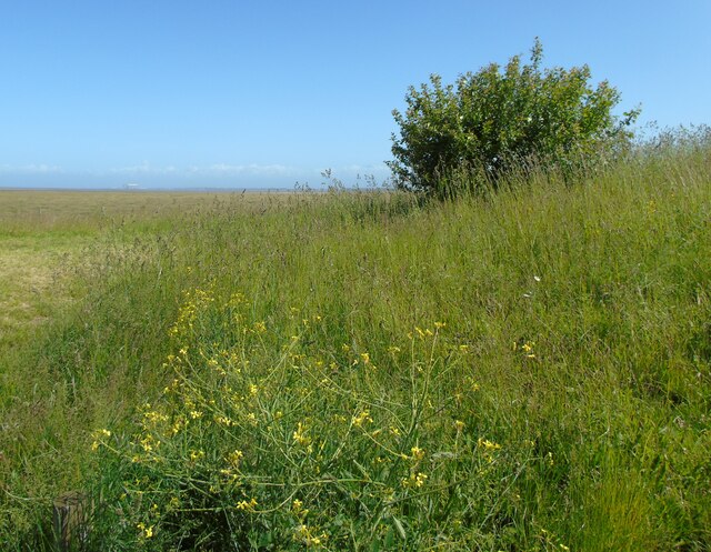
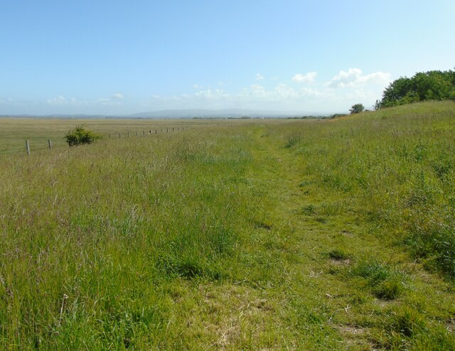
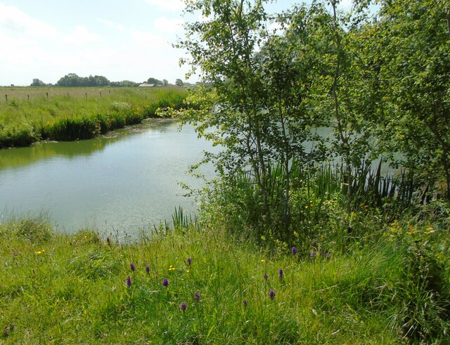
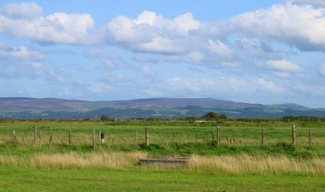
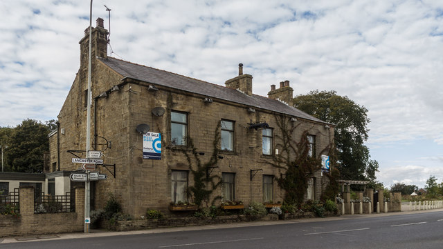
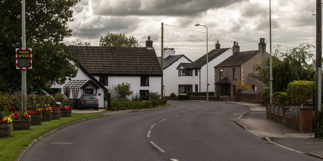
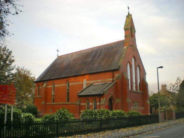
Fisher's Row Images

Images are sourced within 2km of 53.928965/-2.8972073 or Grid Reference SD4148. Thanks to Geograph Open Source API. All images are credited.

Carved Bridge Name 'C.C. BROADFLEET BRIDGE' cut boldly into parapet. The bridge was built in 1840, as shown  by <a href="https://www.geograph.org.uk/photo/6942271">SD4048 : Bridge Date</a>.
Carved Bridge Name
'C.C. BROADFLEET BRIDGE' cut boldly into parapet. The bridge was built in 1840, as shown by SD4048 : Bridge Date.
Bridge Date The date of construction of Broadfleet Bridge, '1840', rather crudely cut into the parapet opposite the much better carved name of the bridge - see <a href="https://www.geograph.org.uk/photo/6942268">SD4048 : Carved Bridge Name</a>.
Bridge Date
The date of construction of Broadfleet Bridge, '1840', rather crudely cut into the parapet opposite the much better carved name of the bridge - see SD4048 : Carved Bridge Name.
Environment Agency Bench Mark Environment Agency Bench Mark on NW parapet of Wrampool Bridge. Environment Agency Benchmarks (EABMs) have been created since the 1990s for use as survey control for Environment Agency projects. 
There is supposed to be an OS bench mark in the same location but I couldn't find it.
Environment Agency Bench Mark
Environment Agency Bench Mark on NW parapet of Wrampool Bridge. Environment Agency Benchmarks (EABMs) have been created since the 1990s for use as survey control for Environment Agency projects. There is supposed to be an OS bench mark in the same location but I couldn't find it.
Tide Gates Tide gates on Broadfleet Bridge. They are supposed to close when the water is running upstream and open to let it out. They look very old and dilapidated, though.
Tide Gates
Tide gates on Broadfleet Bridge. They are supposed to close when the water is running upstream and open to let it out. They look very old and dilapidated, though.
Cockerham Sands I am at the Lane Ends Amenity Area near Pilling, Lancashire, and looking out across Cockerham Sands and the Lune estuary. The power stations at Heysham can be seen to the left of shot. The area is rich with wild flowers in early summer: the flowering shrub in the foreground is sea radish.
Cockerham Sands
I am at the Lane Ends Amenity Area near Pilling, Lancashire, and looking out across Cockerham Sands and the Lune estuary. The power stations at Heysham can be seen to the left of shot. The area is rich with wild flowers in early summer: the flowering shrub in the foreground is sea radish.
Viewing point at Lane Ends This is the viewing point at Lane Ends Amenity Area near Pilling, Lancashire, and I am looking north east towards Cockerham. The fells of the Forest of Bowland can be glimpsed in the distance.
Viewing point at Lane Ends
This is the viewing point at Lane Ends Amenity Area near Pilling, Lancashire, and I am looking north east towards Cockerham. The fells of the Forest of Bowland can be glimpsed in the distance.
East pond, Lane Ends Amenity Area I am at the top of the east pond in the Lane Ends Amenity Area near Pilling, Lancashire. There were moorhens with chicks and swans with cygnets on the water and in the reeds on this day and the area was in full early summer flower as can be seen here.
East pond, Lane Ends Amenity Area
I am at the top of the east pond in the Lane Ends Amenity Area near Pilling, Lancashire. There were moorhens with chicks and swans with cygnets on the water and in the reeds on this day and the area was in full early summer flower as can be seen here.
Bleasdale Moors Taken at the little car park beside the A588 at the Pilling Amenity Area, Over Wyre, Lancashire,  I am looking east towards the Bleasdale Moors which, in this shot, are tinged purple by the heather in bloom.
Bleasdale Moors
Taken at the little car park beside the A588 at the Pilling Amenity Area, Over Wyre, Lancashire, I am looking east towards the Bleasdale Moors which, in this shot, are tinged purple by the heather in bloom.
St. John the Baptist church Church of England parish church in Pilling.
St. John the Baptist church
Church of England parish church in Pilling.
School Lane, Pilling A Lancashire village close to the coast.
School Lane, Pilling
A Lancashire village close to the coast.
Gulf Farm Tractor in shed at Gulf Farm.
Gulf Farm
Tractor in shed at Gulf Farm.
Bankfield Tractor and trailer on Lancaster Road at Bankfield.
Bankfield
Tractor and trailer on Lancaster Road at Bankfield.
St John the Baptist Church St John the Baptist Church at Pilling.
St John the Baptist Church
St John the Baptist Church at Pilling.
Pilling Marsh Works near Pilling Marsh.
Pilling Marsh
Works near Pilling Marsh.
Elletson Arms The disused Elletson Arms public house.
Elletson Arms
The disused Elletson Arms public house.
Lancaster Road Lancaster Road at Fishers Row.
Lancaster Road
Lancaster Road at Fishers Row.
Pilling Sands View looking out across Pilling Sands from the Lane Ends car park.
Pilling Sands
View looking out across Pilling Sands from the Lane Ends car park.
Show me another place!

Fisher's Row is located at Grid Ref: SD4148 (Lat: 53.928965, Lng: -2.8972073)

Administrative County: Lancashire

District: Wyre

Police Authority: Lancashire

What 3 Words

///chilled.figure.tissue. Near Preesall, Lancashire

Nearby Locations

Fisher's Row Pilling

Related Wikis

Related Videos

Paramotoring at Pilling Lancashire

Chris Sutton - Paramotoring at Pilling Lancashire Paramotors (also known as a Powered Paragliders) combine the easy flying ...

GoPro Hero 10 Black beach walk with Luther Dog trying out the Windslayer to reduce wind noise.

GoPro Hero 10 Black beach walk with Luther Dog trying out the Windslayer to reduce wind noise.

Churchyard of St John the Baptist, Pilling, Lancashire, Revisited

St John's was built in 1717. The only structural alteration since then has been the raising of the walls in 1813 to accommodate ...

Nearby Amenities

Located within 500m of 53.928965,-2.8972073
Noexit: yes
Lat/Long: 53.9282362/-2.8969802
Post Box
Lat/Long: 53.9282288/-2.8958133
Noexit: yes
Lat/Long: 53.9282046/-2.8973382
Damside
Bus: yes
Naptan AtcoCode: 2500LAA07531
Naptan Bearing: NW
Naptan CommonName: Damside
Naptan Indicator: opp
Naptan Landmark: Damside Farm
Naptan LocalityCode: E0047578
Naptan NaptanCode: lanjpjmd
Naptan Street: Taylors Lane
Naptan Verified: no
Public Transport: stop_position
Ref: lanjpjmd
Lat/Long: 53.929964/-2.9006656
Taylors Lane
Bus: yes
Naptan AtcoCode: 250012803
Naptan Bearing: W
Naptan CommonName: Taylors Lane
Naptan Indicator: by
Naptan Landmark: Taylors Lane
Naptan LocalityCode: E0047578
Naptan NaptanCode: lanajpaw
Naptan Street: Taylors Lane
Naptan Verified: no
Public Transport: stop_position
Ref: lanajpaw
Lat/Long: 53.9286406/-2.8956284
Damside
Bus: yes
Naptan AtcoCode: 250012785
Naptan Bearing: SE
Naptan CommonName: Damside
Naptan Indicator: by
Naptan Landmark: Damside
Naptan LocalityCode: E0047578
Naptan NaptanCode: lanajmwp
Naptan Street: Taylors Lane
Naptan Verified: no
Public Transport: stop_position
Ref: lanajmwp
Lat/Long: 53.9299182/-2.9005361
Turning Circle
Lat/Long: 53.9298725/-2.8967359
Defibrillator
Defibrillator Location: outside Pilling Village Hall
Emergency: defibrillator
Indoor: no
Ref GB The Circuit: FFED7080-520D-4BB3-A68D-AEB000DCB3F1
Lat/Long: 53.9293062/-2.8997531
Give Way
Direction: backward
Lat/Long: 53.9290638/-2.8976744
Crossing
Crossing: unmarked
Crossing Island: no
Crossing Markings: no
Tactile Paving: yes
Lat/Long: 53.9289888/-2.8977198
Noexit: yes
Lat/Long: 53.9281855/-2.8974825
Noexit: yes
Lat/Long: 53.9282886/-2.8981861
Give Way
Direction: backward
Lat/Long: 53.9289407/-2.897195
The data included in this document is from www.openstreetmap.org. The data is made available under ODbL.

Have you been to Fisher's Row?

Leave your review of Fisher's Row below (or comments, questions and feedback).