Firle
Settlement in Sussex Lewes
England
Firle

Firle is a small village located in the county of East Sussex, England. Situated at the foot of the South Downs, it is nestled within the picturesque South Downs National Park. The village is approximately six miles east of the historic town of Lewes and boasts a population of around 500 residents.
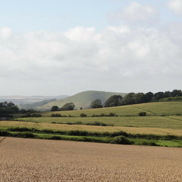
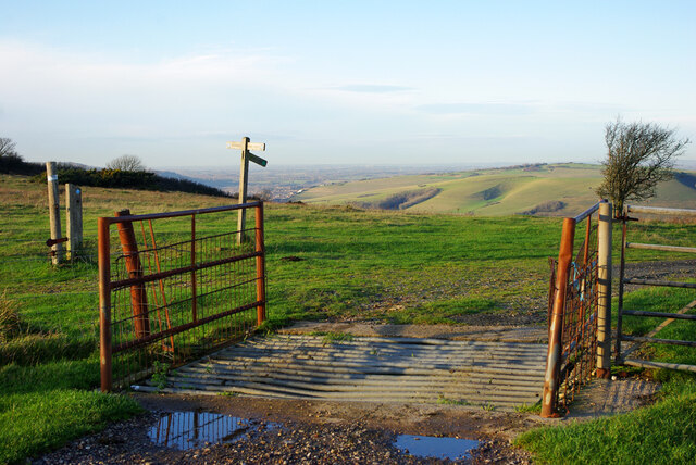
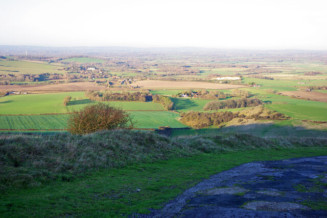
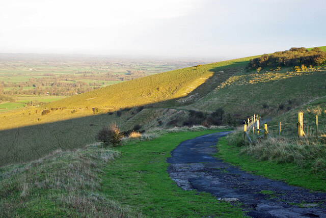
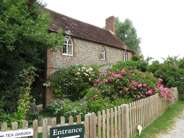
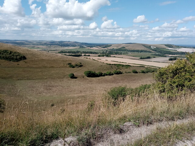
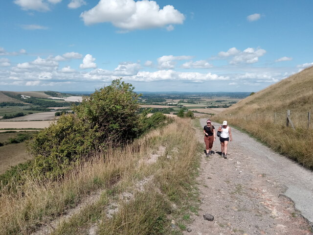
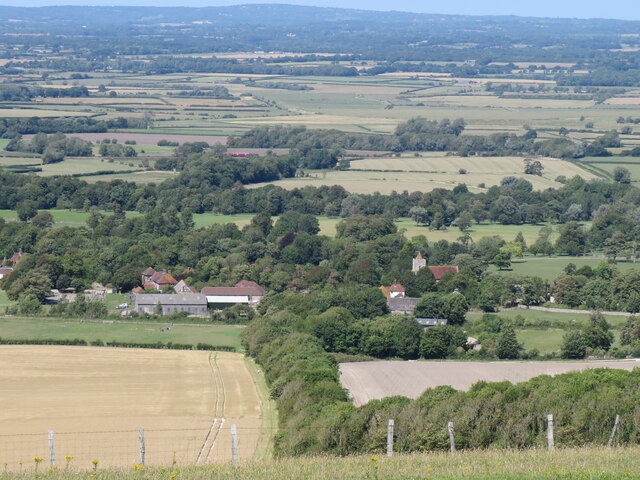
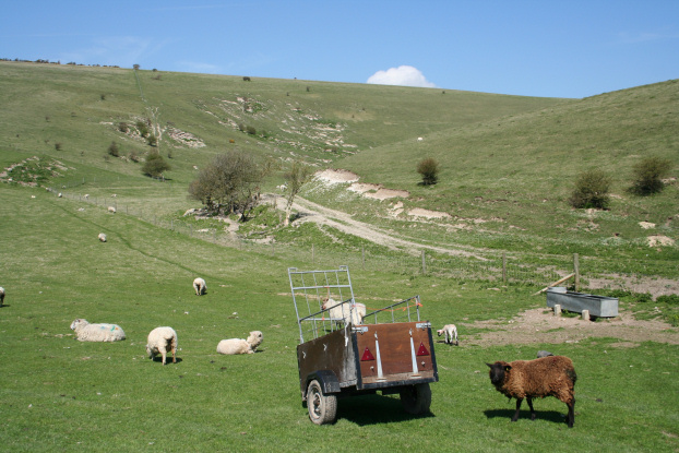
Firle is renowned for its natural beauty and stunning surroundings. The village is surrounded by rolling hills, lush meadows, and scenic woodlands, making it an idyllic destination for nature lovers and outdoor enthusiasts. The South Downs Way, a popular long-distance footpath, passes through the village, offering breathtaking views of the surrounding countryside.
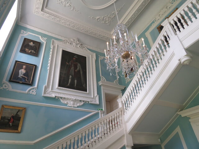
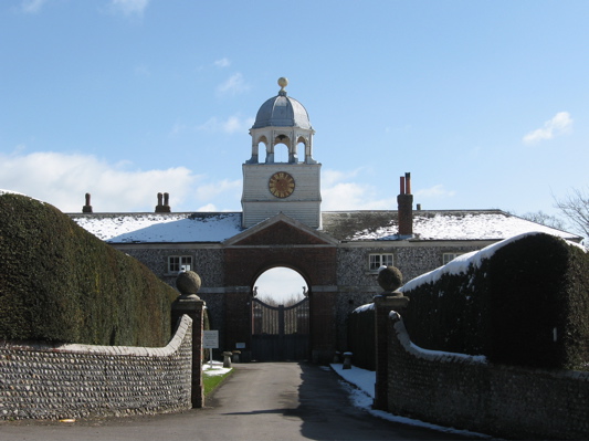
One of the notable landmarks in Firle is Firle Place, a magnificent country house that has been owned by the Gage family for over 500 years. The house, with its exquisite architecture and beautiful gardens, is open to the public and attracts visitors from far and wide. The village also has a charming 13th-century church, St. Peter's, which is known for its stunning stained glass windows and peaceful atmosphere.
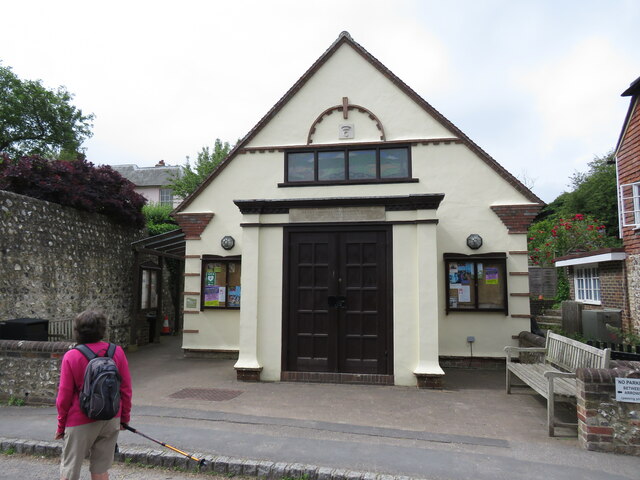
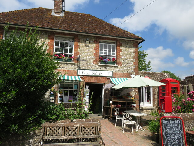
Firle has a close-knit community and a rich sense of history. The village has a local pub, The Ram Inn, where residents and visitors can enjoy traditional English fare and a warm atmosphere. Additionally, Firle holds various community events throughout the year, including a summer fair and a traditional village fete.
Overall, Firle is a hidden gem in the Sussex countryside, offering a perfect blend of natural beauty, historical charm, and community spirit.
If you have any feedback on the listing, please let us know in the comments section below.
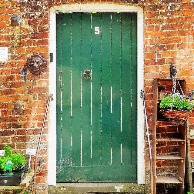
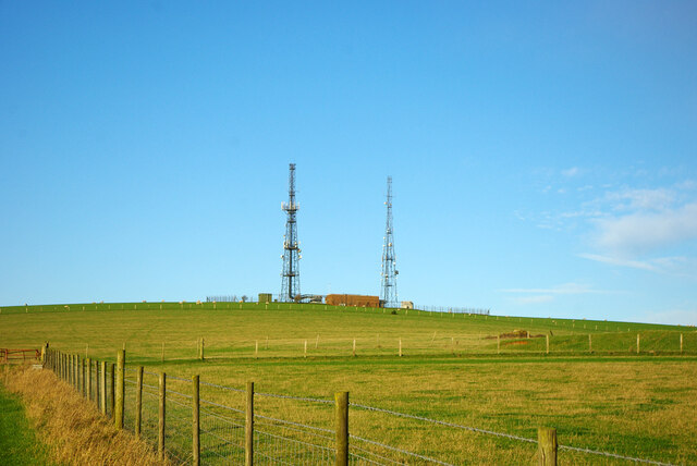
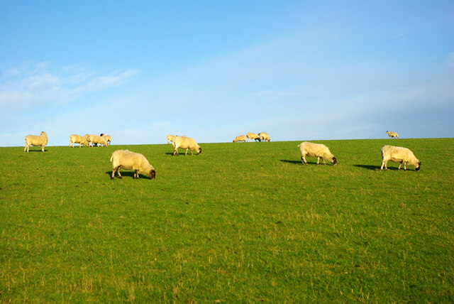
Firle Images
Images are sourced within 2km of 50.845803/0.086873219 or Grid Reference TQ4707. Thanks to Geograph Open Source API. All images are credited.


Firle is located at Grid Ref: TQ4707 (Lat: 50.845803, Lng: 0.086873219)
Administrative County: East Sussex
District: Lewes
Police Authority: Sussex
What 3 Words
///songbook.simply.define. Near Ringmer, East Sussex
Nearby Locations
Related Wikis
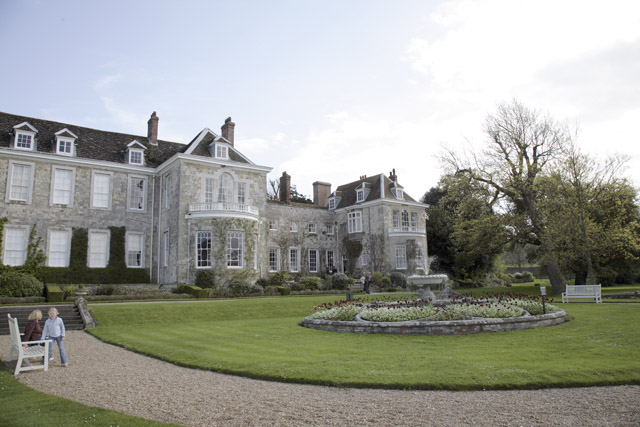
Firle Place
Firle Place is a Manor house in Firle, Sussex, United Kingdom. The Gage family have owned the land at Firle since acquiring it from the Levett family in...

Firle Escarpment
Firle Escarpment is a 302.1-hectare (747-acre) biological Site of Special Scientific Interest north of Seaford in East Sussex.This is a long stretch of...
Firle Beacon
Firle Beacon is a hill in the South Downs of southern England. It is 217 metres high and is a Marilyn. It commands a far-reaching view. When the prevailing...
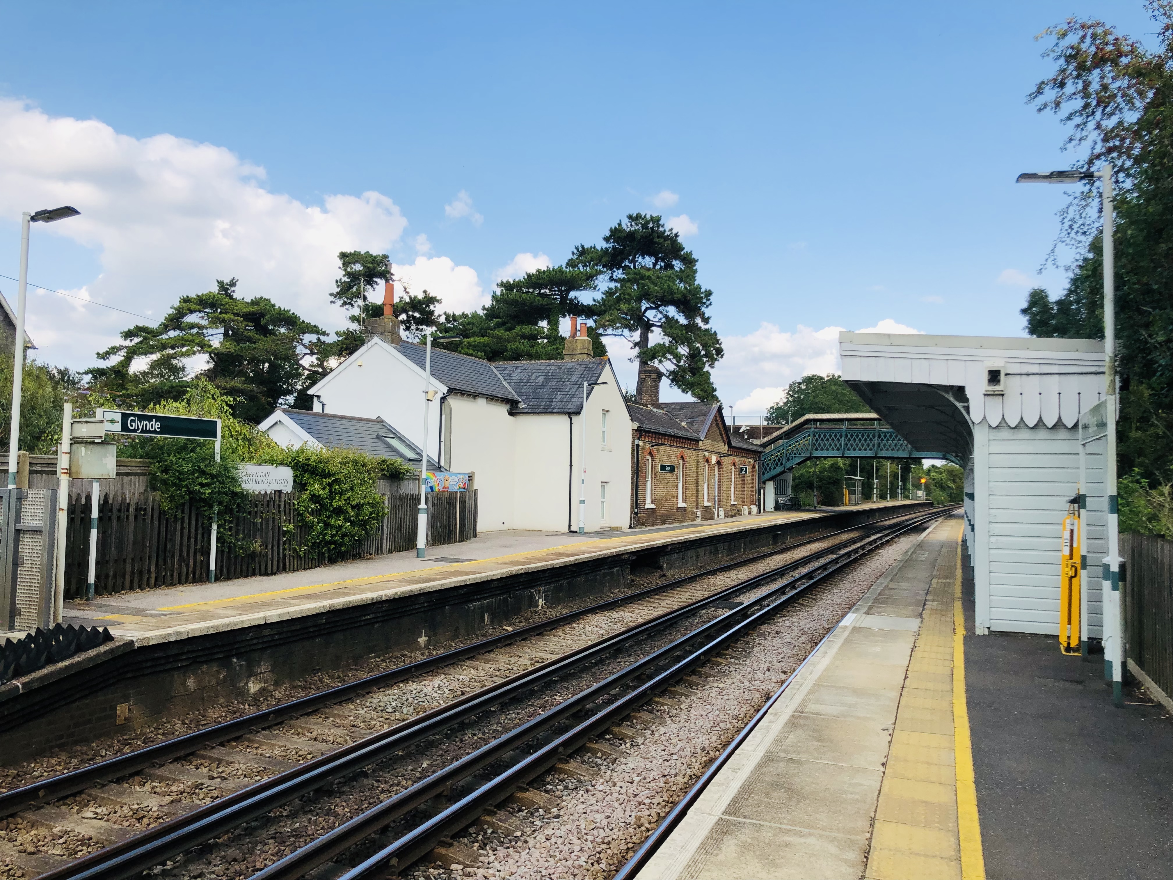
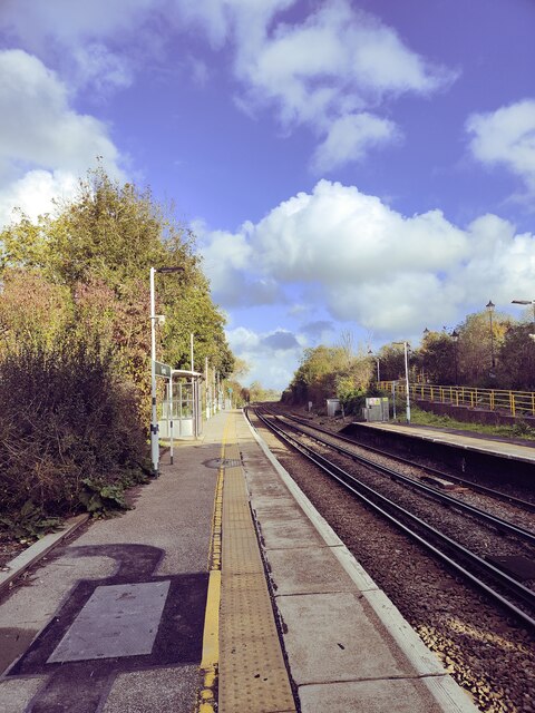
Glynde railway station
Glynde railway station serves Glynde in East Sussex. It is 53 miles 11 chains (85.5 km) from London Bridge, on the East Coastway Line and train services...

Glynde and Beddingham
Glynde and Beddingham Parish Council is a combined council of two civil parishes in the Lewes district of East Sussex. == Glynde == == Beddingham... ==

Charleston Farmhouse
Charleston, in East Sussex, is a property associated with the Bloomsbury group, that is open to the public. It was the country home of Vanessa Bell and...
Southerham Farm
Southerham Farm is a 131-hectare (320-acre) nature reserve on the eastern outskirts of Lewes in East Sussex. It is managed by the Sussex Wildlife Trust...
Glynde
Glynde is a village and shares a civil parish with Beddingham in the Lewes District of East Sussex, United Kingdom. It is located two miles (5 km) east...
Nearby Amenities
Located within 500m of 50.845803,0.086873219Have you been to Firle?
Leave your review of Firle below (or comments, questions and feedback).