Epsom Downs
Settlement in Surrey Epsom and Ewell
England
Epsom Downs

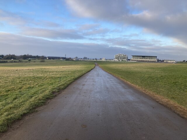
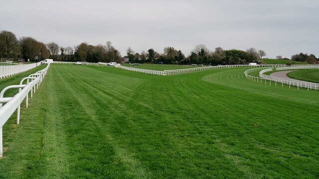
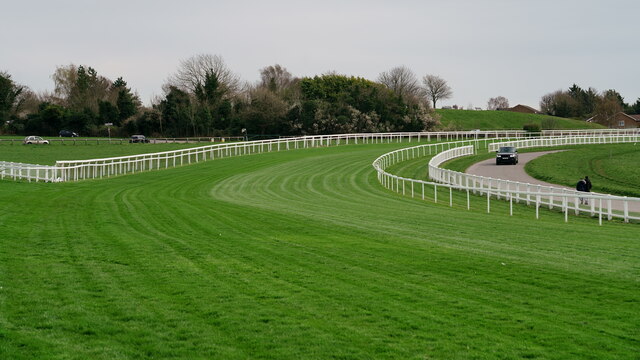
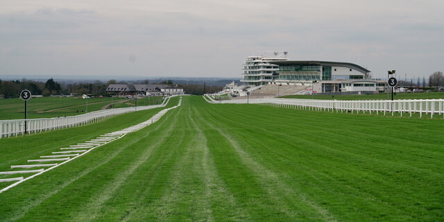
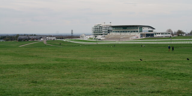
Epsom Downs is a famous and picturesque area located in the county of Surrey, England. It is renowned for its natural beauty, historic significance, and its association with horse racing. Covering an expanse of approximately 600 acres, Epsom Downs is an expansive open space situated on the North Downs, offering stunning panoramic views of the surrounding countryside.
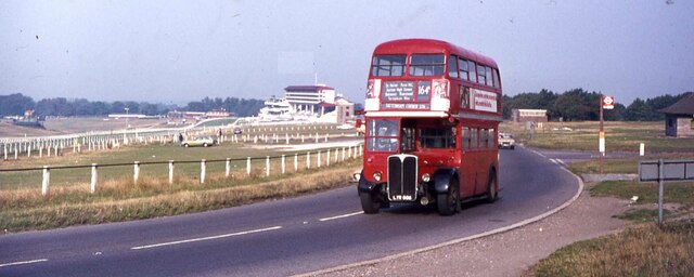
The area is most notably known for hosting the world-famous Epsom Derby, one of the most prestigious flat horse races in the world, which takes place annually in early June. The race has been held at Epsom Downs since its inception in 1780 and attracts thousands of spectators from all over the globe.
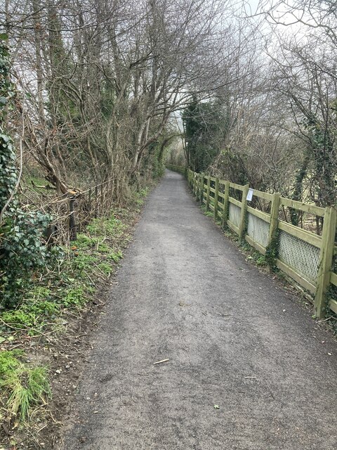
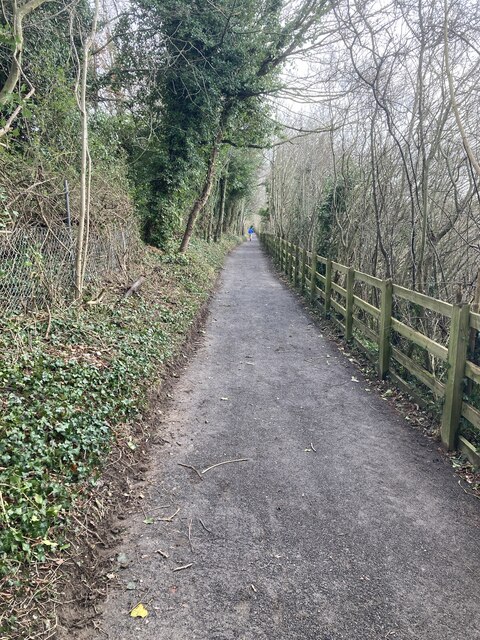
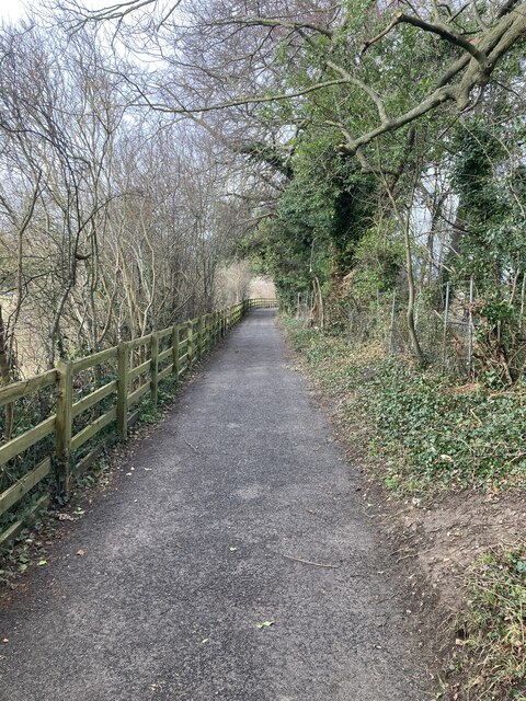
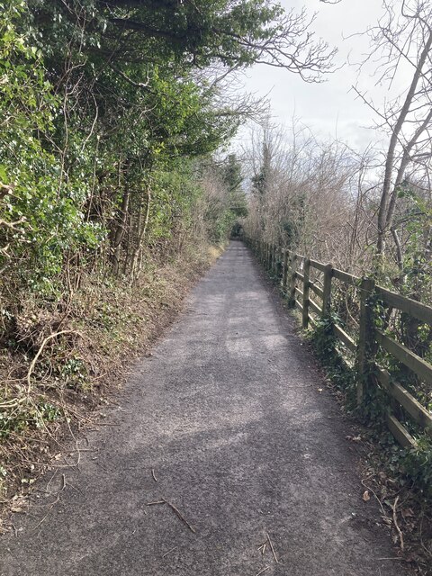
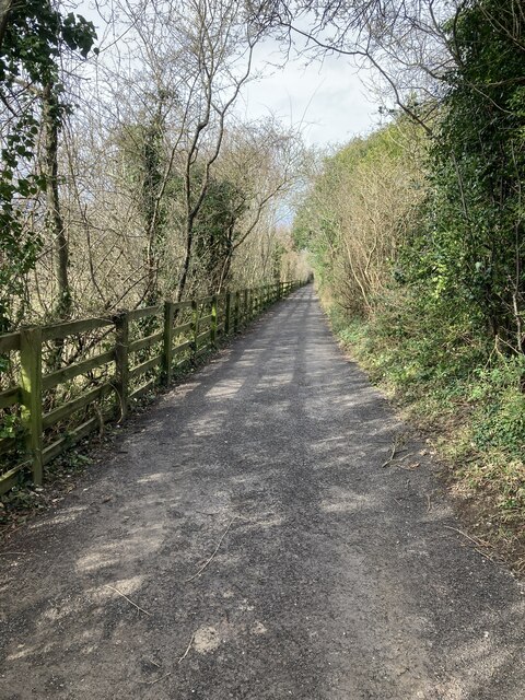
Aside from its equestrian heritage, Epsom Downs is a popular destination for outdoor enthusiasts. The vast open space provides ample opportunities for walking, picnicking, and enjoying the scenic beauty of the rolling hills and lush green landscapes. The area is also home to various wildlife, making it a haven for nature lovers.
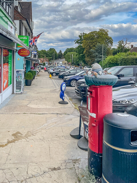
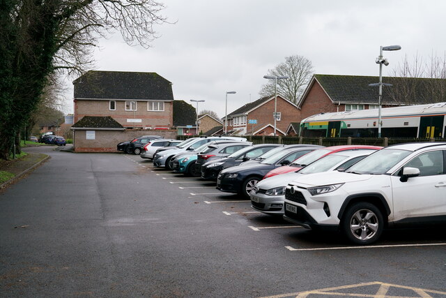
Epsom Downs is easily accessible, located just a short distance from Epsom town center. The area offers ample parking facilities, as well as a range of amenities including cafes, restaurants, and visitor centers, where one can learn more about the history and significance of the Downs.
Overall, Epsom Downs, Surrey, is a captivating destination that seamlessly blends natural beauty, cultural heritage, and sporting excellence, making it a must-visit location for both locals and tourists alike.
If you have any feedback on the listing, please let us know in the comments section below.
Epsom Downs Images
Images are sourced within 2km of 51.320438/-0.24302585 or Grid Reference TQ2259. Thanks to Geograph Open Source API. All images are credited.

Epsom Downs is located at Grid Ref: TQ2259 (Lat: 51.320438, Lng: -0.24302585)
Administrative County: Surrey
District: Epsom and Ewell
Police Authority: Surrey
What 3 Words
///mass.diary.tubes. Near Epsom, Surrey
Nearby Locations
Related Wikis
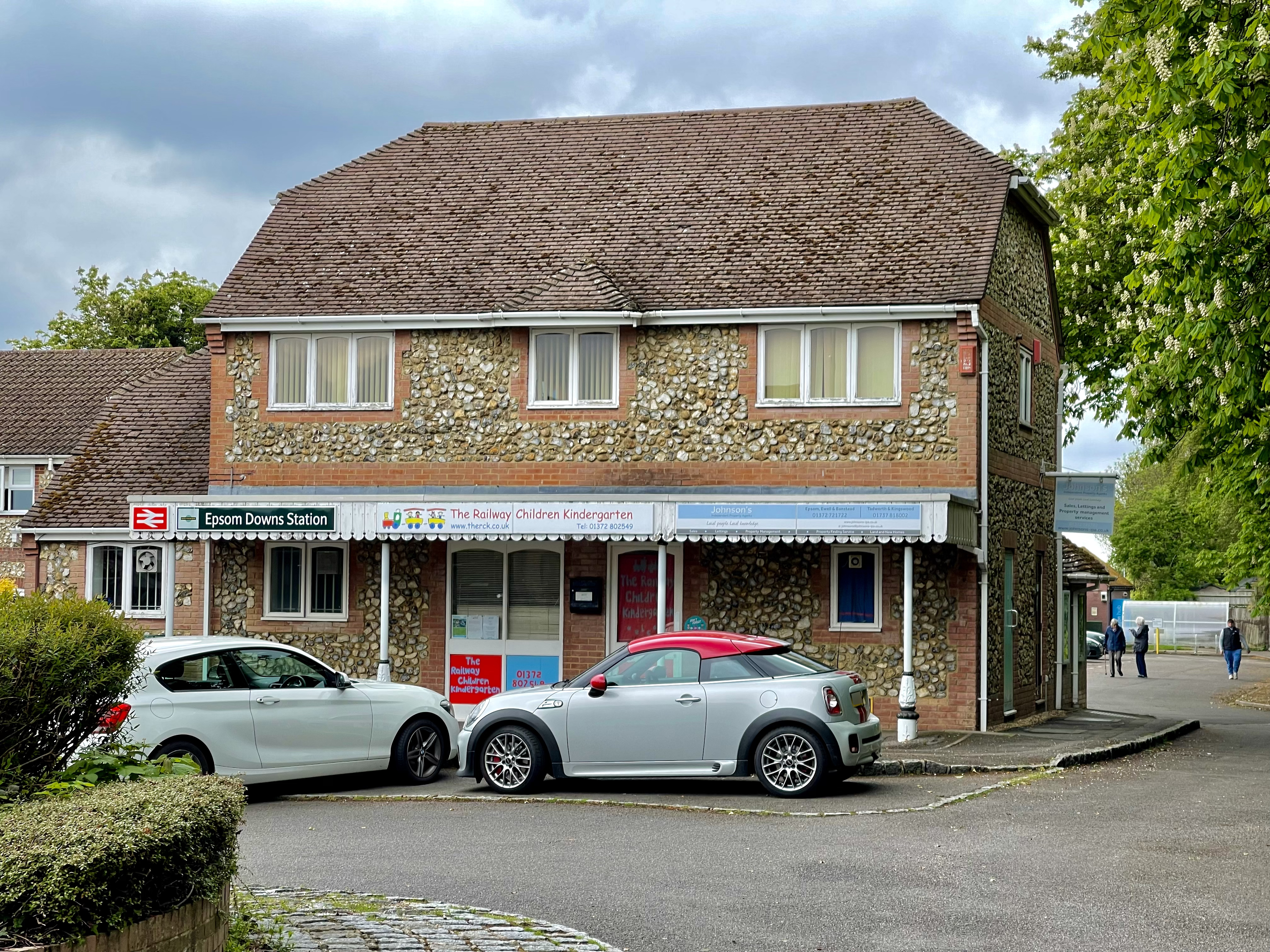
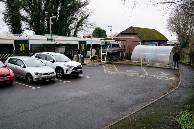
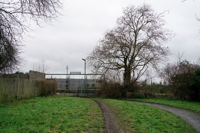
Epsom Downs railway station
Epsom Downs railway station is in the Borough of Reigate and Banstead in Surrey. The station, and all trains serving it, are operated by Southern. It is...
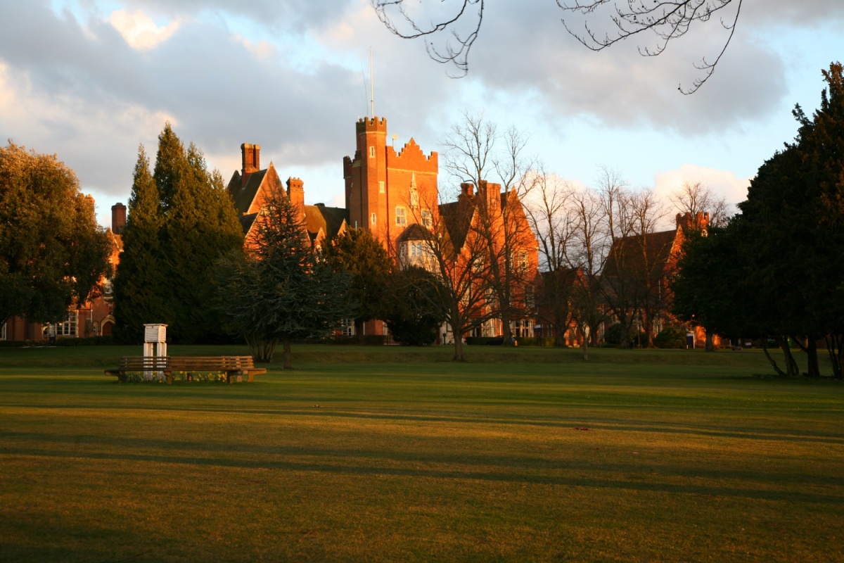
Epsom College
Epsom College is a co-educational independent school on Epsom Downs, Surrey, England, for pupils aged 11 to 18. It was founded in 1853 as a benevolent...

Tattenham Corner railway station
Tattenham Corner railway station is in Surrey, in England. The station and all trains serving it are operated by Southern, and it is the terminus of the...

Tattenham Corner
Tattenham Corner is in north Surrey, UK, the name is principally associated with Epsom Racecourse. The railway station of the same name is in the Tattenhams...

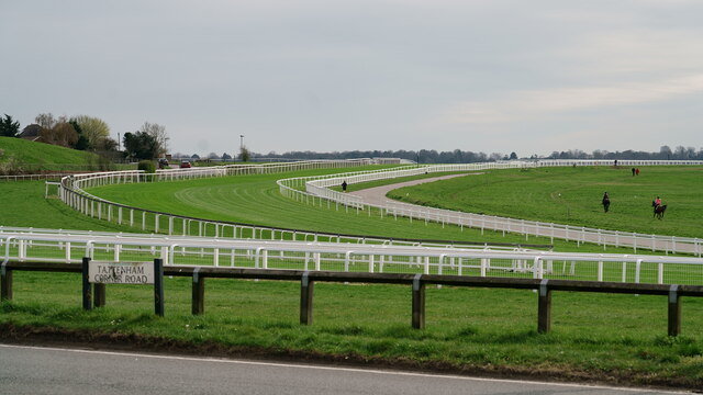
Epsom Downs Racecourse
Epsom Downs is a Grade 1 racecourse on the hills associated with Epsom in Surrey, England which is used for thoroughbred horse racing. The "Downs" referred...

Beechholme
Beechholme was a children's home in Fir Tree Road, Banstead, Surrey. It was founded in 1879 as a Residential School for poor children from the slums of...

St Martin of Tours church, Epsom
St Martin of Tours church, Epsom is a Grade II* listed building, number 1028592, in Church Street, Epsom, Surrey, KT17 4PX. The flint tower dates from...

Nork, Surrey
Nork is a residential area of the borough of Reigate and Banstead in Surrey and borders Greater London, England. Nork is separated from its post town Banstead...
Nearby Amenities
Located within 500m of 51.320438,-0.24302585Have you been to Epsom Downs?
Leave your review of Epsom Downs below (or comments, questions and feedback).