Elms Farm

Settlement in Bedfordshire

England

Elms Farm

Path towards the Great Ouse
Path towards the Great Ouse Credit: Matthew Chadwick

Elms Farm is a charming rural village located in the county of Bedfordshire, England. Situated amidst picturesque countryside, it offers a peaceful and idyllic setting for residents and visitors alike. The village is nestled between two larger towns, Bedford and Luton, providing convenient access to various amenities and transport links.

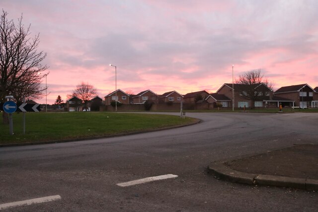
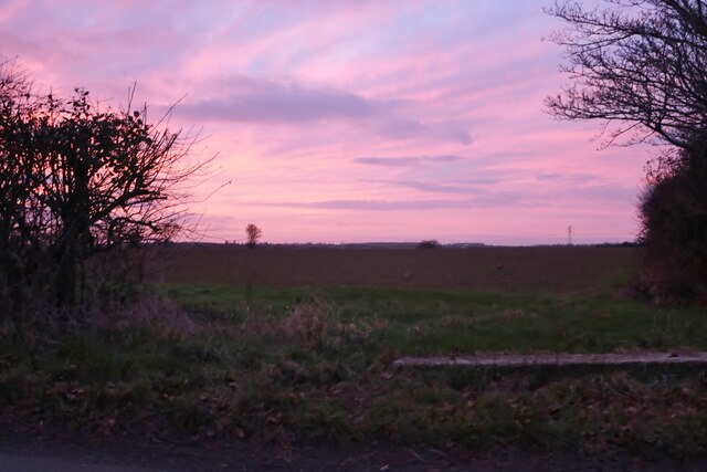
Elms Farm is renowned for its rich agricultural heritage, with sprawling fields and farmland dominating the landscape. The fertile soil and favorable climate in the area make it an ideal location for farming activities, particularly arable crops and livestock rearing. The village is dotted with traditional farmhouses and barns, preserving the rural character that has defined it for generations.

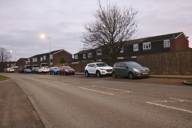
In addition to its agricultural significance, Elms Farm boasts a tight-knit community that is known for its warmth and friendliness. The village has a close community spirit, with regular events and gatherings that bring residents together. The local pub, The Elm Tree, serves as a popular hub for socializing and enjoying traditional English cuisine.

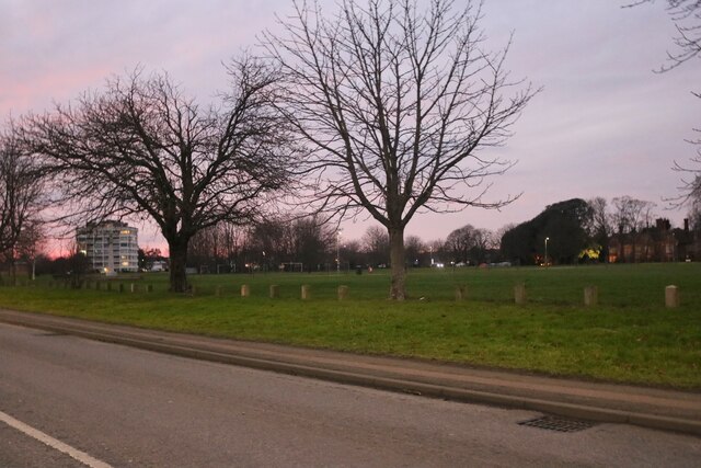
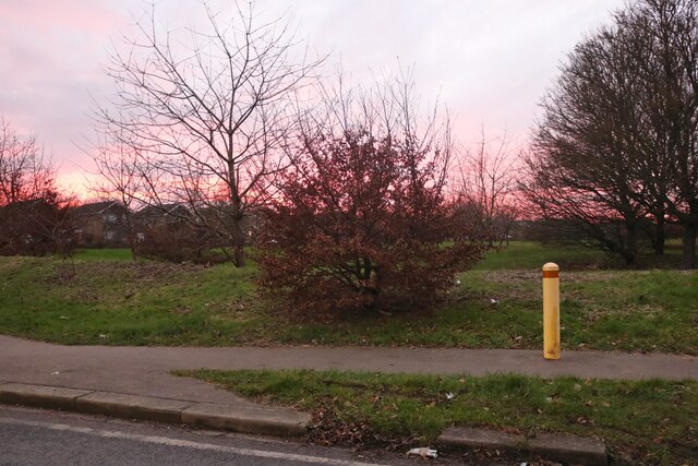
Nature enthusiasts will find Elms Farm a haven for outdoor activities. The surrounding countryside offers ample opportunities for walking, cycling, and exploring the natural beauty of the area. The nearby River Ouse and its tributaries provide excellent fishing spots for anglers.

Overall, Elms Farm provides a tranquil retreat from the hustle and bustle of city life. Its scenic surroundings, agricultural heritage, and strong sense of community make it a desirable place to live or visit for those seeking a slice of rural English charm.

If you have any feedback on the listing, please let us know in the comments section below.

Elms Farm Images

Images are sourced within 2km of 52.151626/-0.41202967 or Grid Reference TL0851. Thanks to Geograph Open Source API. All images are credited.

Path towards the Great Ouse
River Great Ouse
River Great Ouse
St Neots Road approaching the A421 At the flyover junction with the A421.
St Neots Road approaching the A421
At the flyover junction with the A421.
The A421 at Waterend From the flyover junction with the A4280 from eastern Bedford and St Neots Road.
The A421 at Waterend
From the flyover junction with the A4280 from eastern Bedford and St Neots Road.
Roundabout on Hookhams Lane, Bedford This is the first main road entering Bedford from this direction.
Roundabout on Hookhams Lane, Bedford
This is the first main road entering Bedford from this direction.
Norse Road, Bedford
Norse Road, Bedford
Go Outdoors on Norse Road, Bedford
Norse Road, Bedford
Norse Road, Bedford
Barons bodyshop on St Neots Road, Goldington
Goldington Green
Goldington Green
Flats on Goldington Green
Houses on Hookhams Lane, Salph End
Park by Hookhams Lane, Salph End Entering the urban area of Bedford
Park by Hookhams Lane, Salph End
Entering the urban area of Bedford
Sunset over Hookhams Lane, Salph End
Thatched cottage on Wilden Road, Salph End
Sunset by Wilden Road
House in the woods On Wilden Road near Salph End
House in the woods
On Wilden Road near Salph End
Sunset by Wilden Road Every sky was different so I took as many as I could.
Sunset by Wilden Road
Every sky was different so I took as many as I could.
Show me another place!

Elms Farm is located at Grid Ref: TL0851 (Lat: 52.151626, Lng: -0.41202967)

Unitary Authority: Bedford

Police Authority: Bedfordshire

What 3 Words

///tight.legal.secure. Near Willington, Bedfordshire

Nearby Locations

Elms Farm

Related Wikis

Risinghoe Castle

Risinghoe Castle, sometimes known as Goldington Castle, is a 20-foot mound, located in the former village of Goldington, a parish in the hundred of Barford...

Goldington

Goldington is part of Bedford, Bedfordshire, England. It encompasses much of the historic village and parish of Goldington that was merged with Bedford...

All Saints' Church, Renhold

Church of All Saints is a Grade I listed church in Renhold, Bedfordshire, England. It became a listed building on 13 July 1964. == See also == Grade I...

Goldington Bury

Goldington Bury is a cricket ground in the Goldington area of Bedford, in England. The first recorded match on the ground was in 1941, when Bedford Town...

Renhold

Renhold is a village and civil parish located on the River Ouse, in the Borough of Bedford, Bedfordshire, England. The parish church is situated some 4...

Putnoe

Putnoe is an electoral ward on the northern side of Bedford, England. The boundaries of Putnoe are approximately Mowsbury Park and golf course to the north...

Renhold Chapel

Renhold Chapel is a Baptist chapel in the village of Renhold, Bedfordshire, England. == History == Prior to the chapel being built, the chapel meetings...

Mark Rutherford School

Mark Rutherford School is a mixed secondary school and sixth form in Bedford, England. The school is named in honour of the Bedford-born writer William...

Nearby Amenities

Located within 500m of 52.151626,-0.41202967
Post Box
Brand: Royal Mail
Brand Wikidata: Q638098
Collection Times: Mo-Fr 09:00; Sa 07:00
Operator: Royal Mail
Operator Wikidata: Q638098
Post Box Type: lamp
Ref: MK41 170D
Royal Cypher: EIIR
Royal Cypher Wikidata: Q33102113
Source: survey
Survey Date: 2015-08-29
Lat/Long: 52.1536905/-0.4181693
Power: tower
Source: bing
Lat/Long: 52.1489375/-0.4099779
Power: tower
Lat/Long: 52.1512501/-0.4162651
Power: tower
Source: bing
Lat/Long: 52.150298/-0.411278
Power: tower
Source: bing
Lat/Long: 52.1494092/-0.4068805
Bicycle Parking
Bicycle Parking: wall_loops
Capacity: 11
Covered: no
Cyclestreets Id: 30696
Lat/Long: 52.1482832/-0.4098164
Crossing
Crossing: unmarked
Crossing Island: yes
Lat/Long: 52.1519185/-0.411786
Post Box
Post Box Design: type_n
Post Box Type: lamp
Ref: MK41 250
Lat/Long: 52.1515703/-0.4115139
Crossing
Crossing: traffic_signals
Crossing Ref: pegasus
Horse: yes
Lat/Long: 52.1484367/-0.4072094
Bench
Source: survey
Lat/Long: 52.1490741/-0.4089824
Bus Stop
Elms Farm Ind Est
Bus: yes
Naptan AtcoCode: 020035265
Naptan Bearing: NE
Naptan CommonName: Elms Farm Ind Est
Naptan Crossing: Norse Road
Naptan Indicator: adj
Naptan NaptanCode: bfsampgp
Naptan PlusbusZoneRef: BEDFDM
Naptan Street: Goldington Road
Public Transport: platform
Shelter: no
Source: naptan_import
Lat/Long: 52.1472307/-0.4106977
Bus Stop
Norse Road Cemetery
Bus: yes
Naptan AtcoCode: 020035200
Naptan Bearing: SE
Naptan CommonName: Norse Road Cemetery
Naptan Indicator: o/s
Naptan Landmark: Norse Road Cemetary
Naptan NaptanCode: bfsamjaj
Naptan PlusbusZoneRef: BEDFDM
Naptan Street: Norse Road
Public Transport: platform
Shelter: yes
Source: naptan_import;survey
Lat/Long: 52.1538297/-0.4124502
Bus Stop
Hudson Road
Bus: yes
Naptan AtcoCode: 020035334
Naptan Bearing: S
Naptan CommonName: Hudson Road
Naptan Crossing: Hudson Road
Naptan Indicator: opp
Naptan NaptanCode: bfsaptdm
Naptan PlusbusZoneRef: BEDFDM
Naptan Street: Norse Road
Public Transport: platform
Shelter: yes
Source: naptan_import
Lat/Long: 52.1521754/-0.4115623
Bus Stop
Hudson Road
Bus: yes
Naptan AtcoCode: 020035267
Naptan Bearing: N
Naptan CommonName: Hudson Road
Naptan Crossing: Hudson Road
Naptan Indicator: adj
Naptan NaptanCode: bfsampgw
Naptan PlusbusZoneRef: BEDFDM
Naptan Street: Norse Road
Public Transport: platform
Shelter: yes
Source: naptan_import
Lat/Long: 52.1512381/-0.4121172
Bus Stop
Caxton Road
Bus: yes
Naptan AtcoCode: 020035269
Naptan Bearing: SE
Naptan CommonName: Caxton Road
Naptan Indicator: opp
Naptan Landmark: Caxton Road
Naptan NaptanCode: bfsampjd
Naptan PlusbusZoneRef: BEDFDM
Naptan Street: Norse Road
Public Transport: platform
Source: naptan_import
Lat/Long: 52.148979/-0.4111845
Man Made: mast
Tower Construction: lattice
Tower Type: communication
Lat/Long: 52.1525332/-0.4174489
Crossing
Crossing: unmarked
Crossing Island: yes
Crossing Markings: no
Lat/Long: 52.151513/-0.4107106
Barrier: bollard
Lat/Long: 52.1487676/-0.414148
Crossing
Crossing: unmarked
Crossing Island: yes
Lat/Long: 52.1514544/-0.4118347
Crossing
Crossing: unmarked
Crossing Island: yes
Lat/Long: 52.1516572/-0.4114588
Pump Gyms Bedford
Addr City: Bedford
Addr Country: GB
Addr Postcode: MK41 0LF
Addr Street: Caxton Road
Addr Unit: Unit 2,3
Leisure: fitness_centre
Opening Hours: 24/7
Website: https://www.pumpgyms.com/bedford
Lat/Long: 52.1480131/-0.4142265
Board Type: notice
Information: board
Operator: Renhold Parish Council
Tourism: information
Lat/Long: 52.1513218/-0.4106629
Waste Basket
Waste: cigarettes;dog_excrement;trash
Lat/Long: 52.1513188/-0.410649
The data included in this document is from www.openstreetmap.org. The data is made available under ODbL.

Have you been to Elms Farm?

Leave your review of Elms Farm below (or comments, questions and feedback).