Easter Lonvine
Settlement in Ross-shire
Scotland
Easter Lonvine
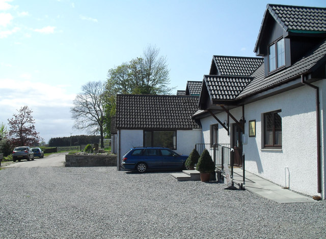
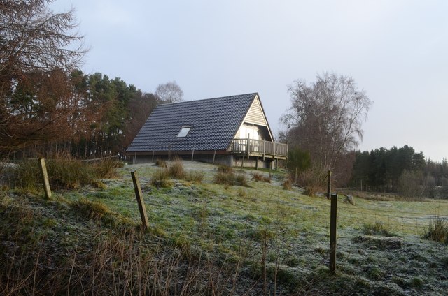
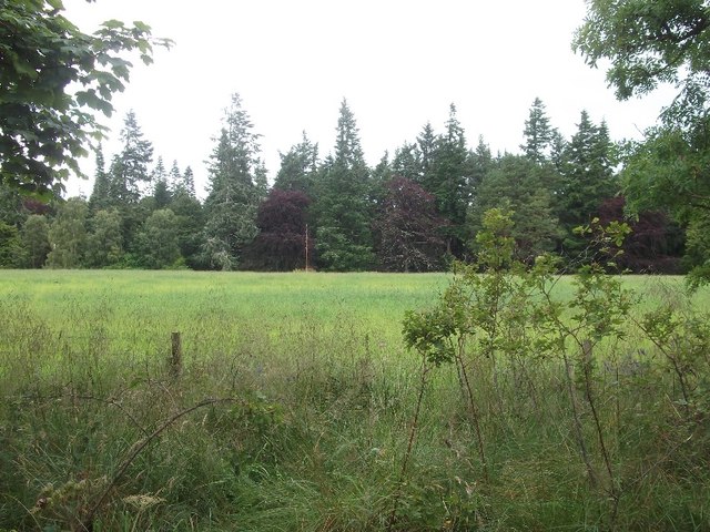
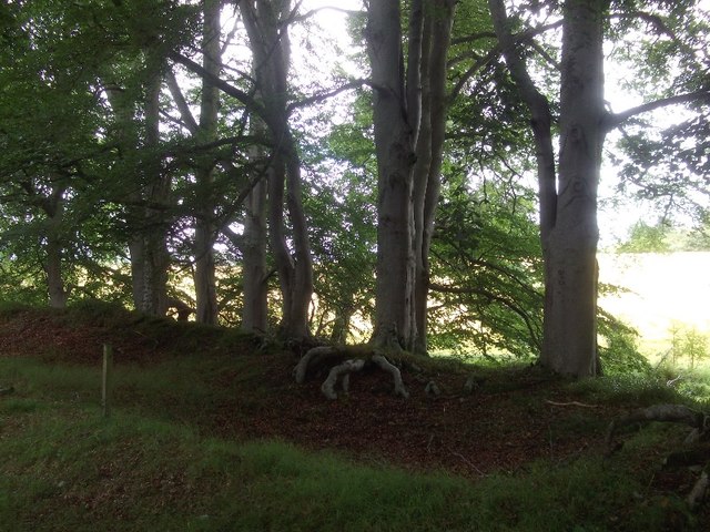
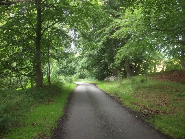
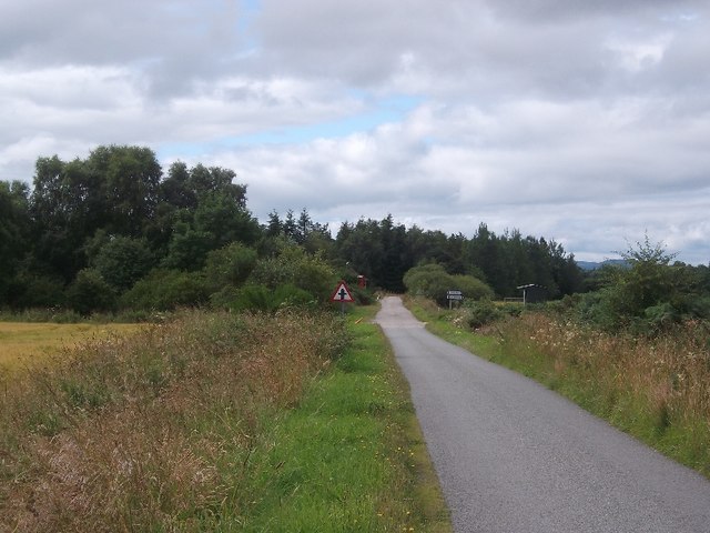
Easter Lonvine is a small village located in Ross-shire, a county in the Scottish Highlands region of Scotland. Situated in a picturesque countryside setting, the village is surrounded by rolling hills, lush green fields, and stunning natural beauty.
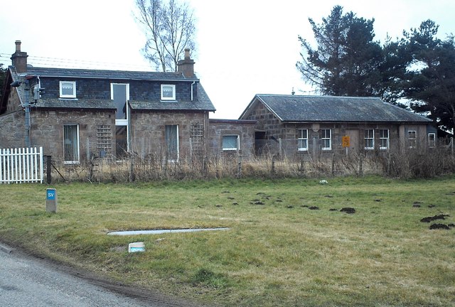
With a population of around 150 people, Easter Lonvine offers a peaceful and close-knit community atmosphere. The village consists of a handful of traditional stone houses, some of which date back several centuries, giving it a charming and historic ambiance.
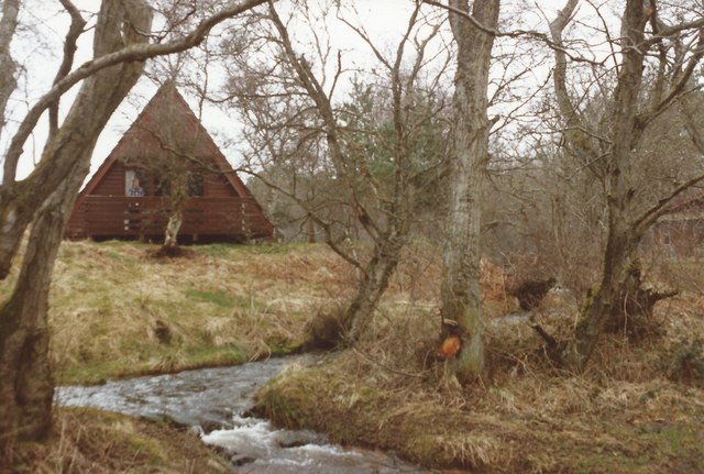
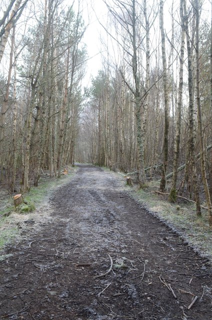
Easter Lonvine is known for its tranquil and idyllic setting, making it a popular destination for those seeking a retreat from the hustle and bustle of city life. The village is particularly attractive for outdoor enthusiasts, as it offers various opportunities for walking, hiking, and cycling. The nearby hills and glens provide breathtaking views and are home to an abundance of wildlife, making it a haven for nature lovers.
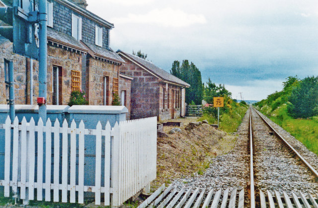
Although Easter Lonvine is a small village, it is not far from larger towns, such as Dingwall and Inverness, which provide access to a wider range of amenities, including shops, schools, and healthcare facilities. Additionally, the village is well-connected via road networks, making it easily accessible by car.
Overall, Easter Lonvine is a tranquil and scenic village, offering a serene lifestyle amidst stunning natural surroundings.
If you have any feedback on the listing, please let us know in the comments section below.
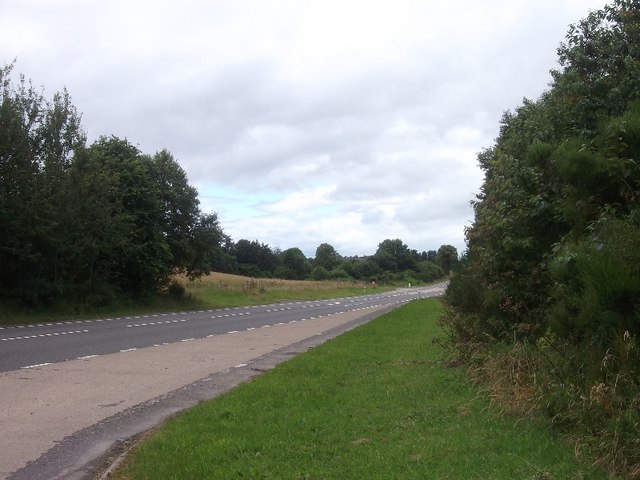
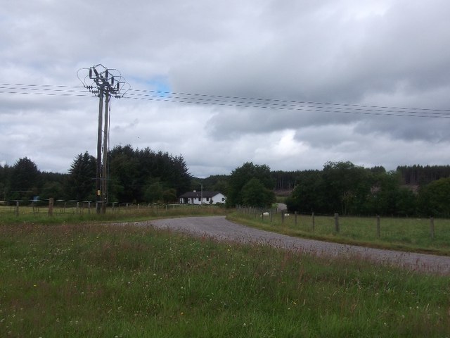
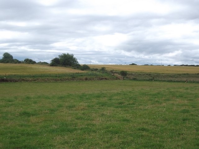
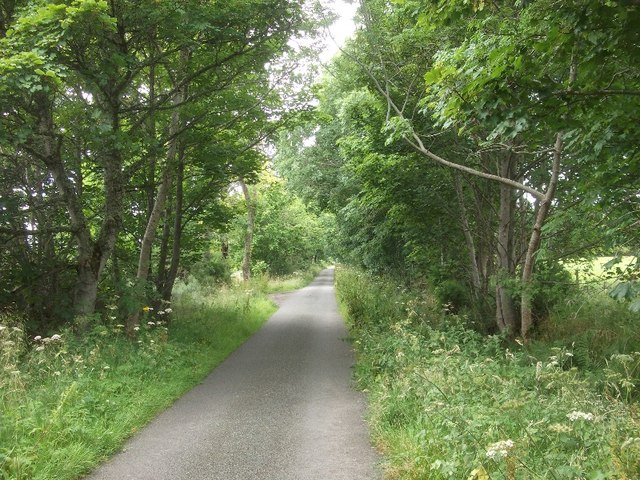
Easter Lonvine Images
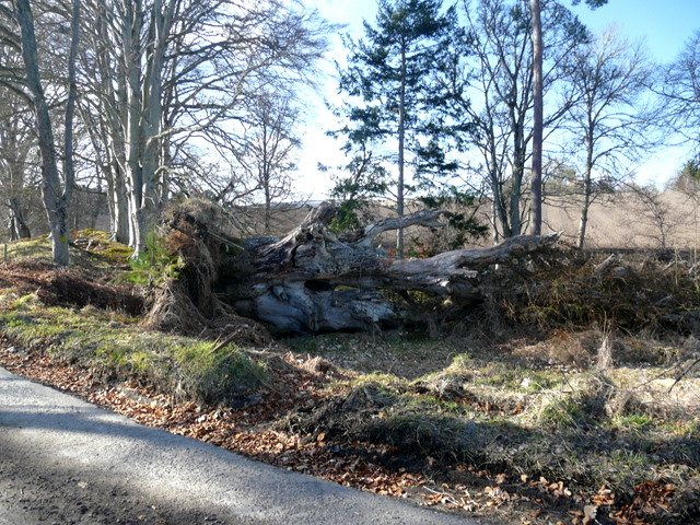
Images are sourced within 2km of 57.730234/-4.1345339 or Grid Reference NH7273. Thanks to Geograph Open Source API. All images are credited.


Easter Lonvine is located at Grid Ref: NH7273 (Lat: 57.730234, Lng: -4.1345339)
Unitary Authority: Highland
Police Authority: Highlands and Islands
What 3 Words
///using.loss.midfield. Near Invergordon, Highland
Nearby Locations
Related Wikis
Delny
Delny (Scottish Gaelic: Deilgnidh) is a small hamlet in the parish of Kilmuir-Easter in Ross-shire, Scotland. It was the site of a castle, that was once...

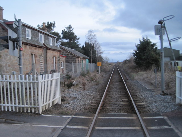
Delny railway station
Delny railway station served the hamlet of Delny, Ross-shire, Scotland from 1864 to 1964 on the Inverness and Ross-shire Railway. == History == The station...

Barbaraville
Barbaraville (Scottish Gaelic: An Cladach) is a small settlement on the north shore of Nigg Bay in the Cromarty Firth in the Highland council area of Scotland...

Balintraid
Balintraid (Scottish Gaelic: Baile na Tràghad) is an industrial settlement, which was built largely in the 1970s with the growth of the North Sea oil...
Nearby Amenities
Located within 500m of 57.730234,-4.1345339Have you been to Easter Lonvine?
Leave your review of Easter Lonvine below (or comments, questions and feedback).