East Laroch
Settlement in Argyllshire
Scotland
East Laroch

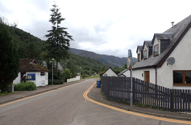
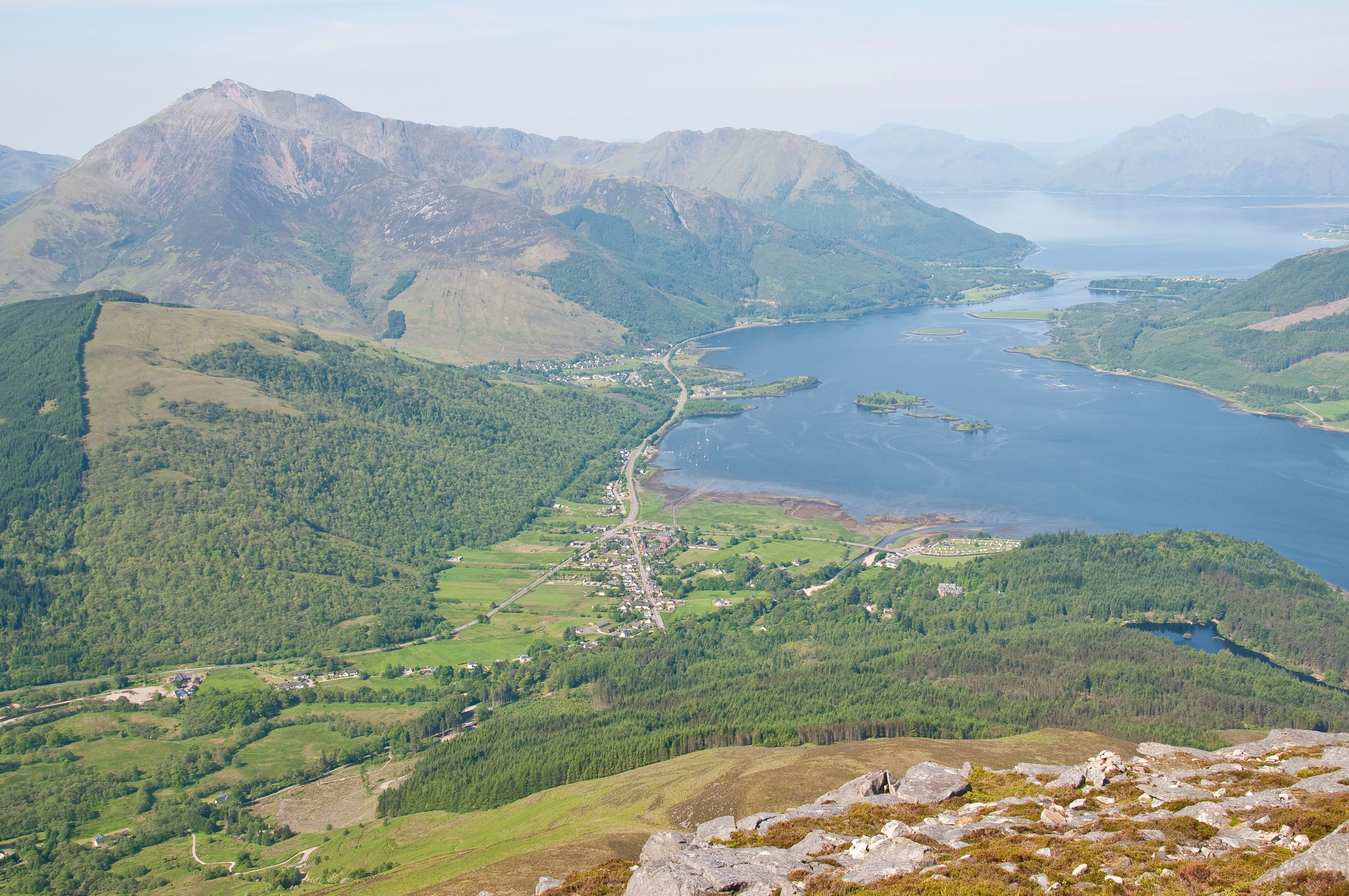
East Laroch is a small village located in the region of Argyllshire, Scotland. Situated on the eastern shore of Loch Awe, it forms part of the stunning landscape of the Scottish Highlands. With a population of approximately 150 residents, East Laroch offers a peaceful and idyllic setting for those seeking tranquility and natural beauty.
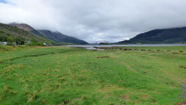
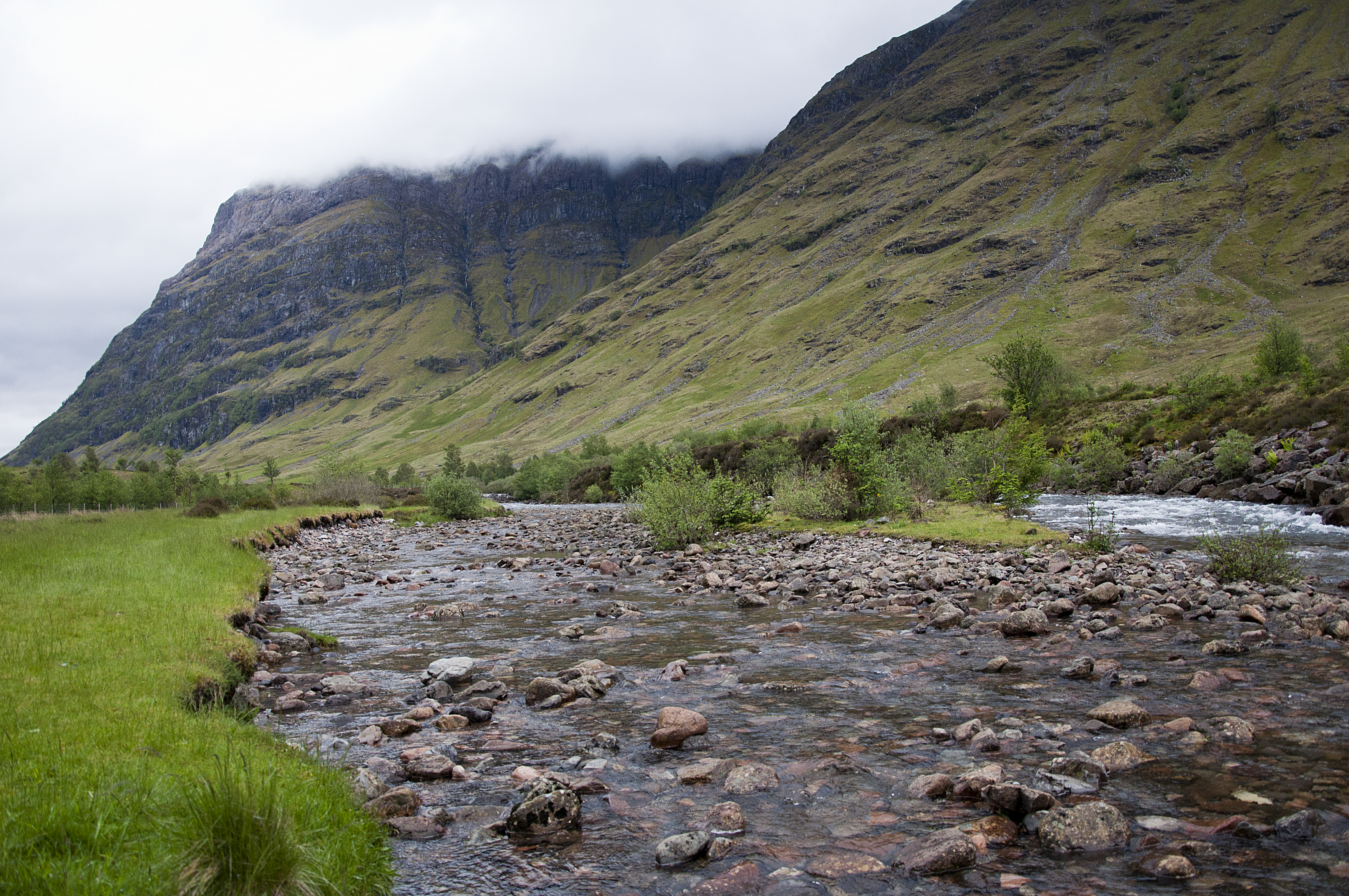
The village is surrounded by lush green hills, providing a picturesque backdrop for outdoor enthusiasts and nature lovers. Loch Awe, Scotland's longest freshwater loch, is a prominent feature of the area. Its crystal-clear waters are ideal for fishing and boating activities, attracting anglers and water sports enthusiasts from near and far.
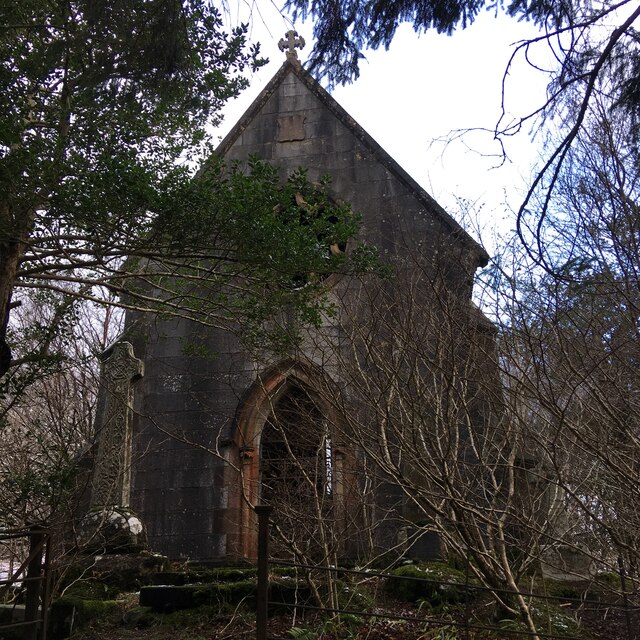
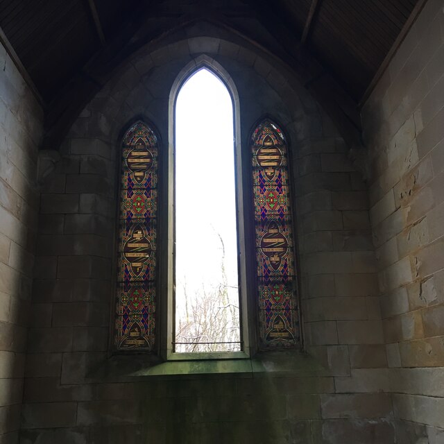
Despite its small size, East Laroch has a strong sense of community and a rich history. The village is home to a charming church, St. Conan's Kirk, renowned for its unique architecture and stunning stained glass windows. The church attracts visitors from all over the world, who are captivated by its medieval-inspired design and breathtaking views of the loch.
In terms of amenities, East Laroch offers a few small shops and local businesses that cater to the needs of its residents. However, for a wider range of services and amenities, the nearby town of Oban is easily accessible, providing residents with access to schools, healthcare facilities, and a variety of shops and restaurants.
Overall, East Laroch stands as a hidden gem within the Argyllshire region, offering a peaceful and picturesque setting that appeals to both nature lovers and those seeking a close-knit community.
If you have any feedback on the listing, please let us know in the comments section below.
East Laroch Images
Images are sourced within 2km of 56.677137/-5.1357559 or Grid Reference NN0758. Thanks to Geograph Open Source API. All images are credited.


East Laroch is located at Grid Ref: NN0758 (Lat: 56.677137, Lng: -5.1357559)
Unitary Authority: Highland
Police Authority: Highlands and Islands
What 3 Words
///choppy.minimums.suckle. Near Glencoe, Highland
Nearby Locations
Related Wikis

Ballachulish
The village of Ballachulish ( BAL-ə-KHOO-lish or BAL-ə-HOO-lish, from Scottish Gaelic Baile a' Chaolais [baləˈxɯːl̪ˠɪʃ]) in Lochaber, Highland, Scotland...
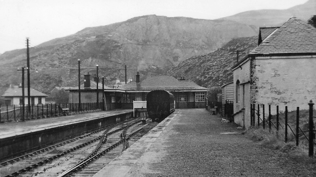
Ballachulish railway station
Ballachulish was a railway station at Ballachulish on the southern shore of Loch Leven at East Laroch (south Ballachulish) in Highland. It was the terminus...

Eilean Munde
Eilean Munde is a small uninhabited island in Loch Leven, close to Ballachulish. It is the site of a chapel built by St. Fintan Mundus (also known as Saint...

St John's Church, Ballachulish (former)
St John's Church is a former church building in Ballachulish, Highland, Scotland. It dates to 1842, replacing an earlier Episcopal church, and was designed...
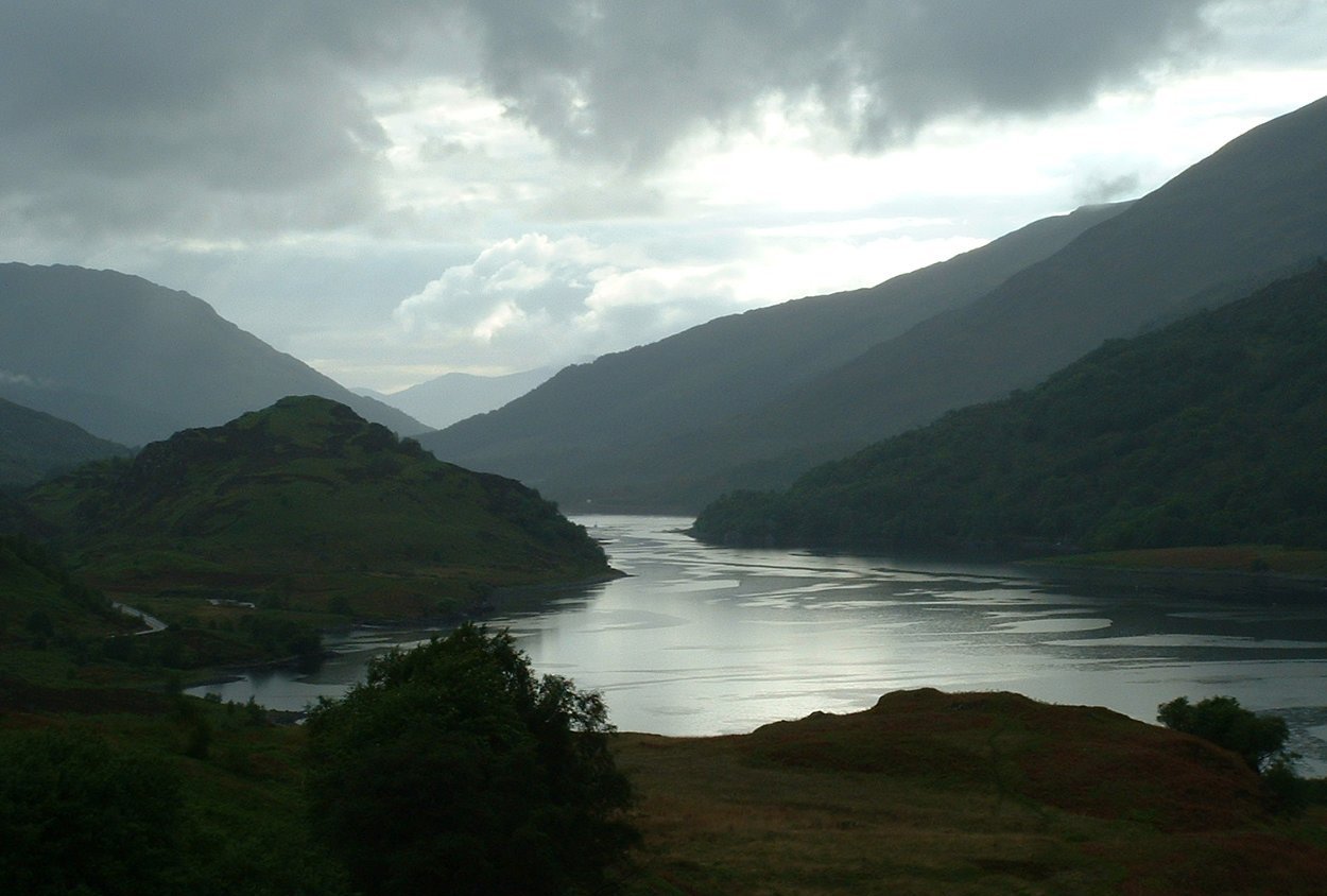
Loch Leven (Highlands)
Loch Leven (Scottish Gaelic: Loch Liobhann) is a sea loch located on the west coast of Scotland. It is spelled Loch Lyon in Timothy Pont's map of the area...
Glencoe, Highland
Glencoe or Glencoe Village (Gaelic: A’ Chàrnaich) is the main settlement in Glen Coe in the Lochaber area of the Scottish Highlands. It lies at the north...
River Coe
The River Coe (Scottish Gaelic: Comhan) rises at the north-eastern base of Buachaille Etive Beag in Scotland and flows west along Glen Coe. After dramatic...

Glencoe House
Glencoe House is a category B listed four-storey Victorian estate house in Glencoe, Lochaber, Highland, Scotland. == History == Designed by Rowand Anderson...
Nearby Amenities
Located within 500m of 56.677137,-5.1357559Have you been to East Laroch?
Leave your review of East Laroch below (or comments, questions and feedback).