East Pimbo

Settlement in Lancashire West Lancashire

England

East Pimbo

An entry onto the largest roundabout around The one-way system around the West Pimbo Industrial Estate in Skelmersdale takes in four 1km squares.
An entry onto the largest roundabout around Credit: David Long

East Pimbo is a small village located in the county of Lancashire, England. Situated in the West Lancashire district, it is part of the civil parish of Skelmersdale. With a population of around 500 residents, East Pimbo offers a peaceful and close-knit community environment.

The village is surrounded by picturesque countryside, characterized by rolling hills and lush green fields. It is conveniently located approximately 3 miles north of Skelmersdale town center, providing easy access to essential amenities and services.

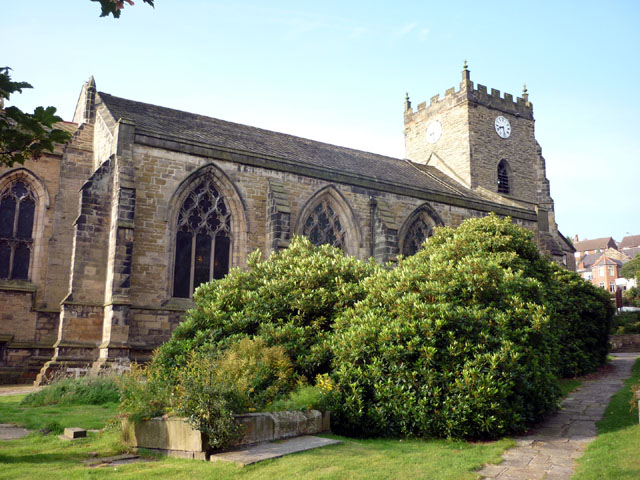
East Pimbo is known for its charming rural charm, with many traditional stone houses and cottages dotted throughout the area. The village boasts a sense of history, with some properties dating back several centuries. The local church, St. Mary's, is a prominent feature, adding to the village's historic appeal.

Residents of East Pimbo enjoy a range of recreational activities and outdoor pursuits, taking advantage of the beautiful natural surroundings. The nearby Tawd Valley Park offers ample opportunities for walking, cycling, and picnicking.

For those seeking more urban amenities, the town of Skelmersdale provides a range of shopping options, including supermarkets, local shops, and a weekly market. The village also benefits from good transportation links, with regular bus services connecting to nearby towns and cities.

Overall, East Pimbo offers a tranquil and idyllic rural lifestyle, making it an attractive place to reside for those seeking a peaceful countryside setting within easy reach of essential amenities.

If you have any feedback on the listing, please let us know in the comments section below.
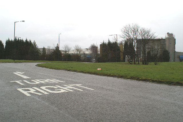
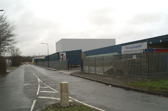
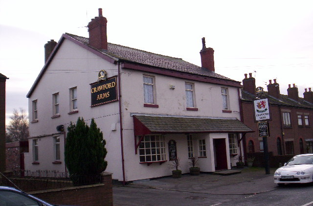
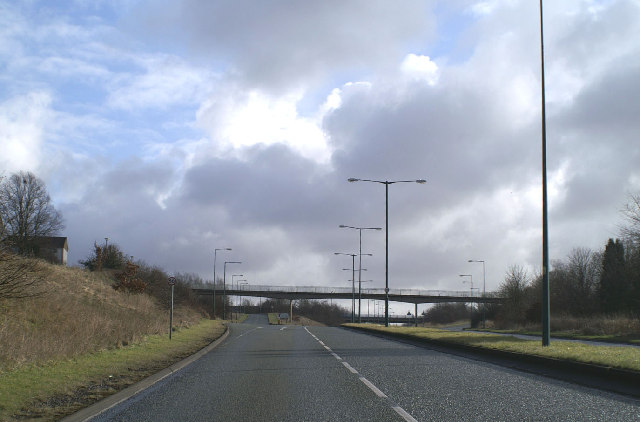
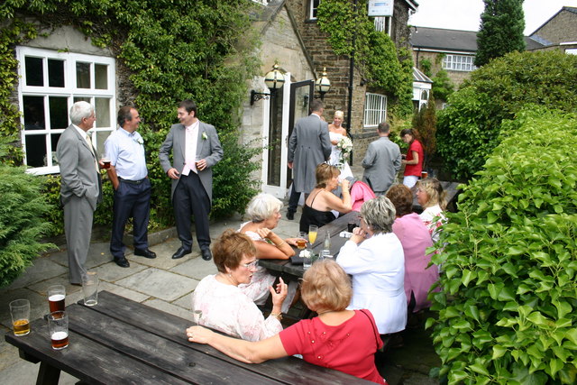
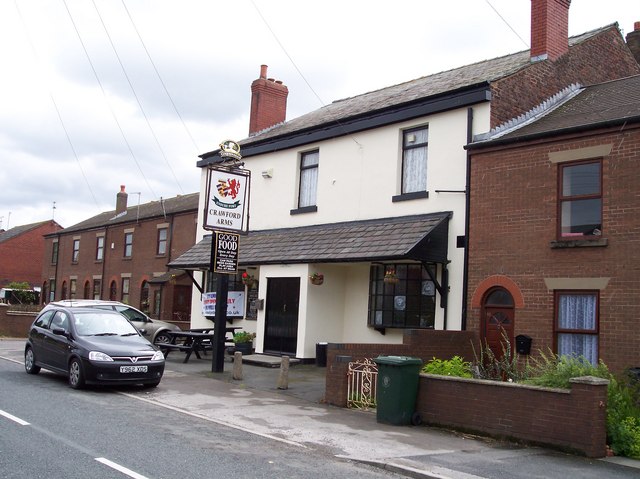
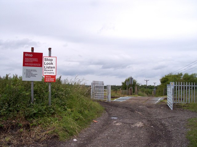
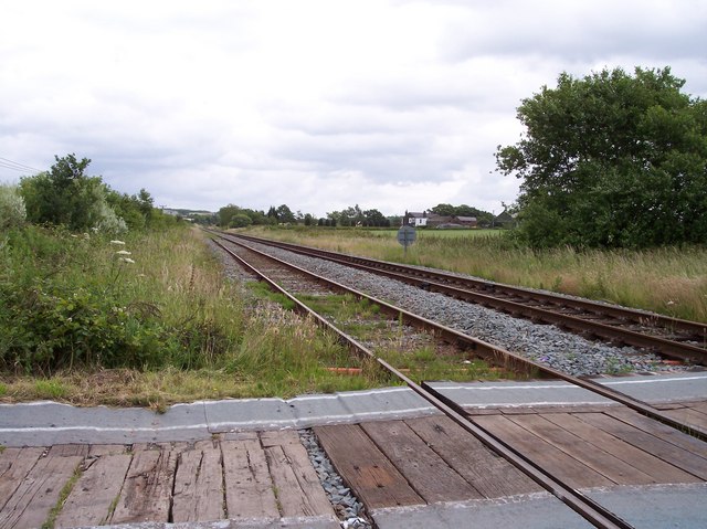
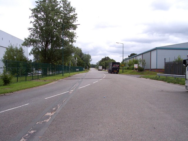
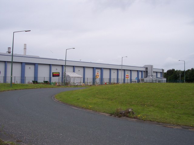
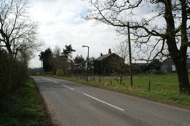
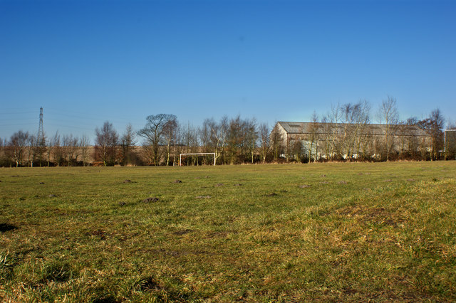
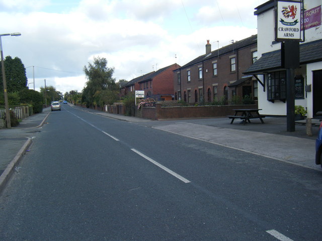
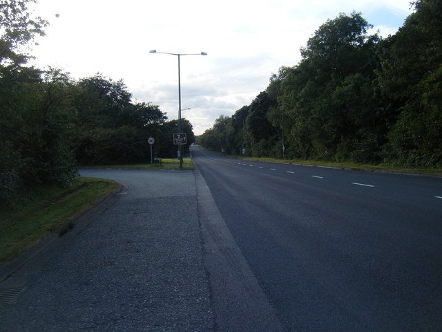
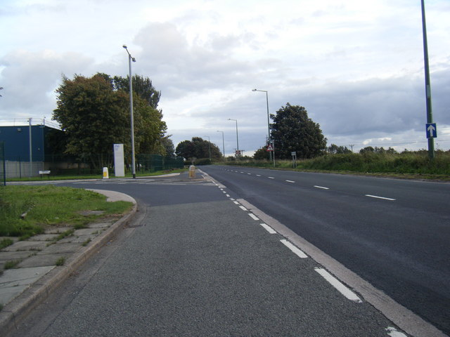
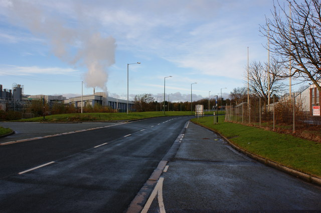
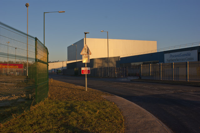
East Pimbo Images

Images are sourced within 2km of 53.528967/-2.7449754 or Grid Reference SD5003. Thanks to Geograph Open Source API. All images are credited.

An entry onto the largest roundabout around The one-way system around the West Pimbo Industrial Estate in Skelmersdale takes in four 1km squares.
An entry onto the largest roundabout around
The one-way system around the West Pimbo Industrial Estate in Skelmersdale takes in four 1km squares.
Famous names in Skelmersdale
Crawford Arms, Crawford
Ne'er the twain shall meet Skelmersdale's traffic system is aimed at keeping vehicles and pedestrians apart, leading to loads of footbridges, and no roadside pavements.
Ne'er the twain shall meet
Skelmersdale's traffic system is aimed at keeping vehicles and pedestrians apart, leading to loads of footbridges, and no roadside pavements.
The Lancashire Manor Hotel, Nr. Skelmersdale This old manor house and great hall was formerly the Balcony Farm Hotel.

The great hall is a favourite venue for weddings and all other functions.
The Lancashire Manor Hotel, Nr. Skelmersdale
This old manor house and great hall was formerly the Balcony Farm Hotel. The great hall is a favourite venue for weddings and all other functions.
Crawford Arms
Crawford Arms
Level Crossing on track from Crawford to Skelmersdale
View from crossing towards Upholland
West Pimbo perimeter road Industrial Estate in Skelmersdale
West Pimbo perimeter road
Industrial Estate in Skelmersdale
Crisp factory in Pimbo View from roundabout on entrance to perimeter road
Crisp factory in Pimbo
View from roundabout on entrance to perimeter road
Billinge Bounty Farm
Approach to Crawford village
A pitch invasion By moles!
A pitch invasion
By moles!
Crawford Road
Crawford Road
Pimbo Road near Peel Road
Pimbo Road near Pinfold Place
Pimbo Road Pepsico Walker making crisps?
Pimbo Road
Pepsico Walker making crisps?
Pinfold Place, Pimbo
Show me another place!

East Pimbo is located at Grid Ref: SD5003 (Lat: 53.528967, Lng: -2.7449754)

Administrative County: Lancashire

District: West Lancashire

Police Authority: Lancashire

What 3 Words

///masters.contracts.lands. Near Skelmersdale, Lancashire

Nearby Locations

Balcony Wood East Pimbo

Related Wikis

Upholland railway station

Upholland railway station serves the small town of Up Holland in the southern Lancashire/Wigan boundary area of England. It is on the Kirkby branch line...

Up Holland High School

Up Holland High School is a coeducational secondary school located in Up Holland, Lancashire, England. It is a non-denominational comprehensive school...

Up Holland

Up Holland (or Upholland) is a village close to Skelmersdale and civil parish in the West Lancashire district, in the county of Lancashire, England, 4...

Skelmersdale and Holland

Skelmersdale and Holland was an urban district in Lancashire, England from 1968 to 1974. It was created by the merger of Skelmersdale and Upholland urban...

Up Holland Priory

Up Holland Priory was a Benedictine priory in Up Holland, Lancashire, England. It was founded in 1319. The priory remains are recorded in the National...

Church of St Thomas the Martyr, Up Holland

The Church of St Thomas the Martyr is in School Lane, Up Holland, Lancashire, England. It is an active Anglican parish church in the deanery of Ormskirk...

Higher End

Higher End or Billinge Higher End is an area of the Metropolitan Borough of Wigan, Greater Manchester, England. == Governance == Billinge was a civil...

Bispham Hall

Bispham Hall is a Grade II* listed Elizabethan country house in Billinge, now part of the Metropolitan Borough of Wigan, Greater Manchester.The hall was...

Nearby Amenities

Located within 500m of 53.528967,-2.7449754
Upholland
Naptan AtcoCode: 9100UPHOLND
Network: National Rail
Network Website: https://www.nationalrail.co.uk/stations/upl/
Network Wikidata: Q26334
Operator: Northern Rail
Operator Website: https://www.northernrailway.co.uk/stations/upholland
Operator Wikidata: Q85789775
Public Transport: station
Railway: station
Ref Crs: UPL
Source: npe
Train: yes
Wikidata: Q2511501
Wikipedia: en:Upholland railway station
Lat/Long: 53.5284097/-2.7410475
Motorway Junction
Pimbo Interchange
Ref: 5
Lat/Long: 53.5319355/-2.7418827
Power: tower
Lat/Long: 53.5255404/-2.7403756
Power: tower
Lat/Long: 53.5250661/-2.7443438
Barrier: bollard
Lat/Long: 53.5306169/-2.7406105
Barrier: bollard
Lat/Long: 53.5306031/-2.7405993
Upholland
Public Transport: stop_position
Railway: stop
Ref: 2
Train: yes
Lat/Long: 53.528355/-2.7413902
Upholland
Public Transport: stop_position
Railway: stop
Ref: 1
Train: yes
Lat/Long: 53.5284575/-2.7407481
Give Way
Direction: forward
Lat/Long: 53.5309835/-2.7486287
Traffic Calming: bump
Lat/Long: 53.5304174/-2.7417954
Give Way
Direction: forward
Lat/Long: 53.5326216/-2.7421853
Post Box
Operator: Royal Mail
Operator Wikidata: Q638098
Post Box Design: type_b
Post Box Type: pillar
Ref: WN8 277
Royal Cypher: EIIR
Lat/Long: 53.5308869/-2.7430164
Post Box
Operator: Royal Mail
Operator Wikidata: Q638098
Post Box Type: meter
Ref: WN8 2771
Lat/Long: 53.5309231/-2.7430457
Post Box
Operator: Royal Mail
Operator Wikidata: Q638098
Post Box Type: wall
Ref: WN8 115
Royal Cypher: GR
Lat/Long: 53.5265032/-2.7427502
The data included in this document is from www.openstreetmap.org. The data is made available under ODbL.

Have you been to East Pimbo?

Leave your review of East Pimbo below (or comments, questions and feedback).