Earsdon

Settlement in Northumberland

England

Earsdon

Old Milepost by the A1, north of Morpeth Cast iron post by the A1, in parish of TRITLINGTON (CASTLE MORPETH District), Earsdon Moor, on grass verge back to stone wall, on East side of road. MA bevel iron casting, erected by the Cow-causey & Buckton-Burn turnpike trust in the 19th century. 

Inscription reads:-
: M / 5 : : A / 14 :
(To Morpeth & Alnwick)

Grade II listed. List Entry Number: 1303996
<span class="nowrap"><a title="https://historicengland.org.uk/listing/the-list/list-entry/1303996" rel="nofollow ugc noopener" href="https://historicengland.org.uk/listing/the-list/list-entry/1303996">Link</a><img style="margin-left:2px;" alt="External link" title="External link - shift click to open in new window" src="https://s1.geograph.org.uk/img/external.png" width="10" height="10"/></span>

Milestone Society National ID: NB_MPAN05.
Old Milepost by the A1, north of Morpeth Credit: Hilary Jones

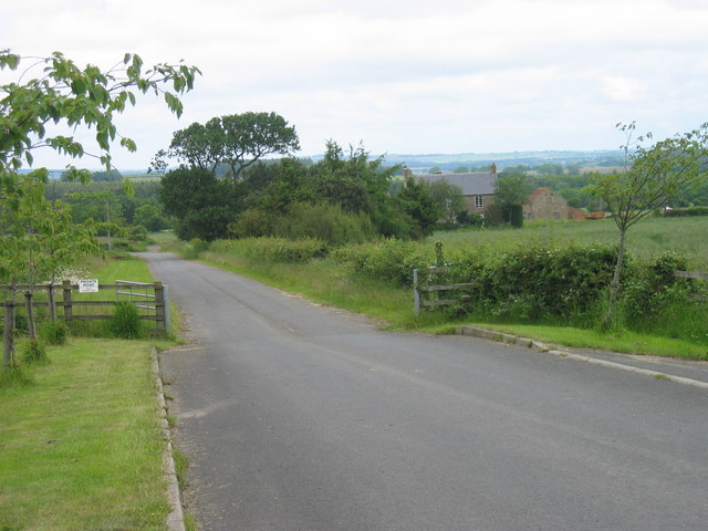
Earsdon is a small village located in the borough of Northumberland, in the northeast of England. Situated approximately 12 kilometers north of the city of Newcastle upon Tyne, Earsdon is a rural settlement known for its picturesque surroundings and historic charm.

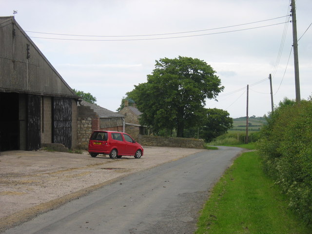
The village is nestled between rolling hills, offering breathtaking views of the Northumberland countryside. It is surrounded by lush green fields and woodland areas, making it a popular destination for nature enthusiasts and walkers. Earsdon is well connected to nearby towns and cities, with easy access to major road networks and public transportation.

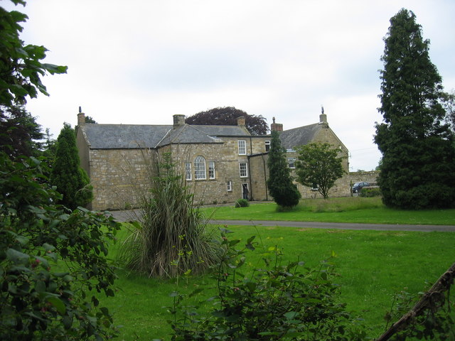
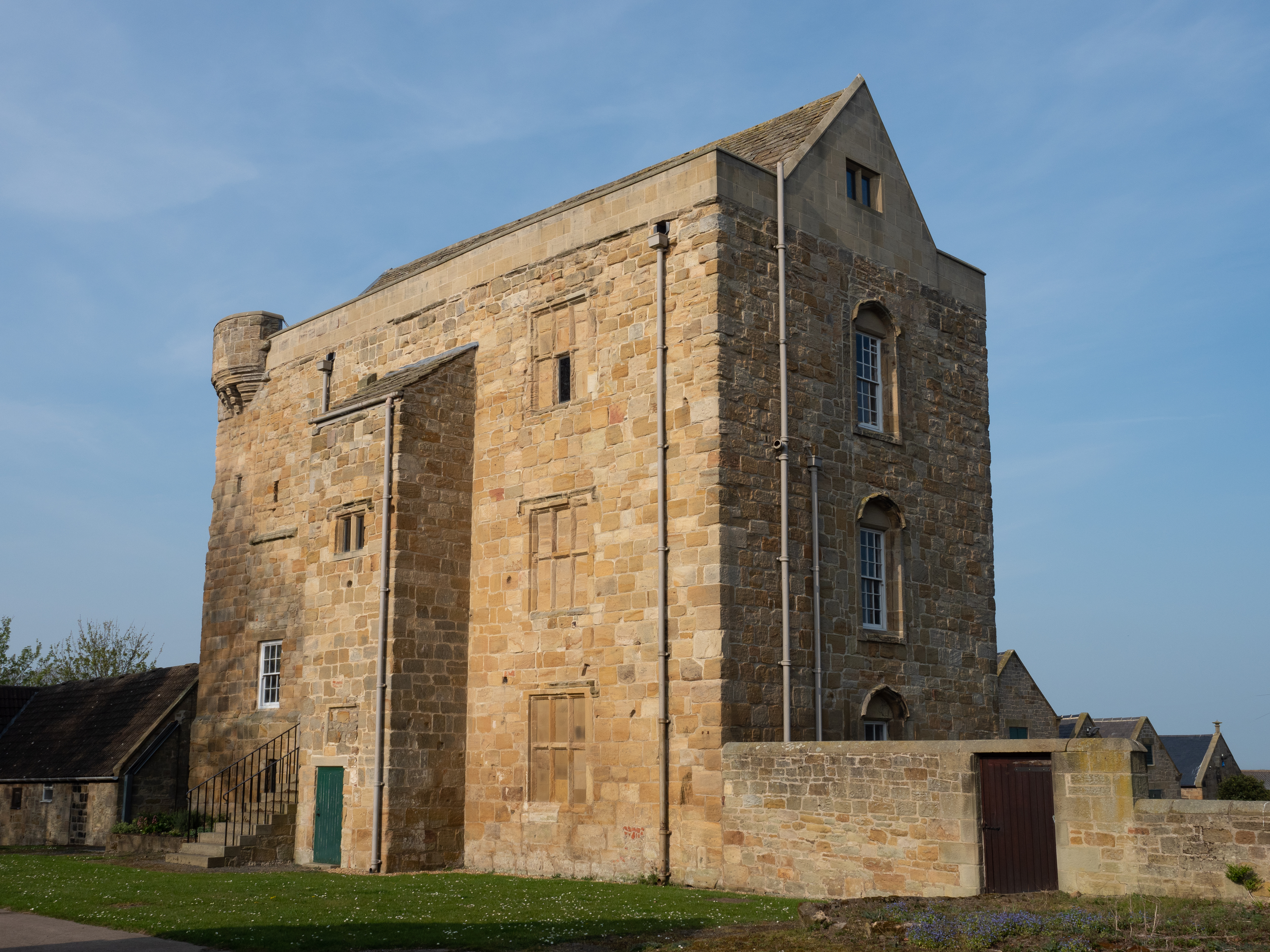
One of the notable features of Earsdon is its rich history. The village is home to several historic buildings, including Earsdon House, a Georgian mansion built in the 18th century, and Earsdon Hall, a Grade II listed building dating back to the 17th century. These architectural gems contribute to the village's unique character and attract visitors interested in exploring its heritage.

The community in Earsdon is close-knit and friendly, with a range of amenities to cater to residents' needs. The village boasts a primary school, a community center, a pub, and a church, providing essential services and spaces for social gatherings.

Overall, Earsdon offers a tranquil and idyllic setting for those seeking a peaceful retreat in the Northumberland countryside. Its combination of natural beauty, historical significance, and community spirit make it a charming place to visit or call home.

If you have any feedback on the listing, please let us know in the comments section below.
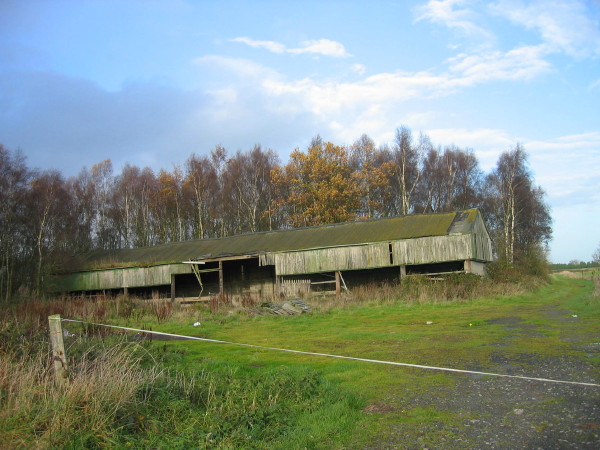
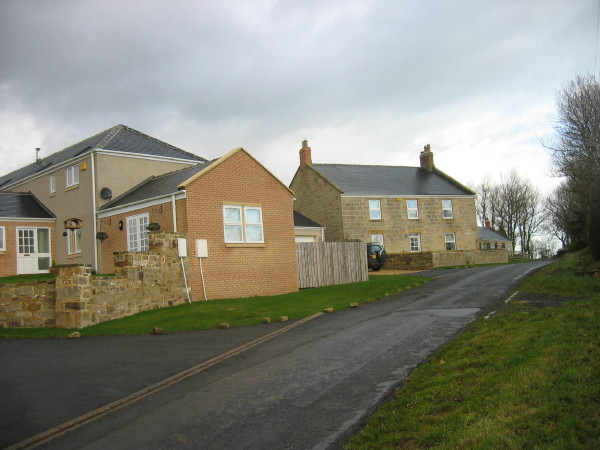
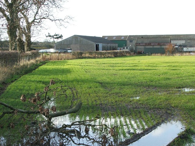
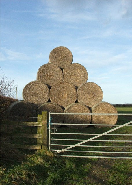
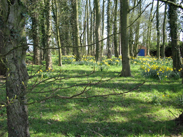
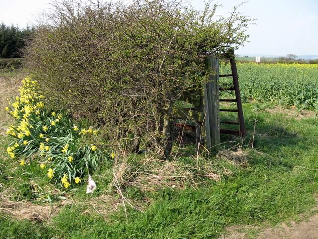
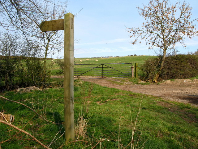
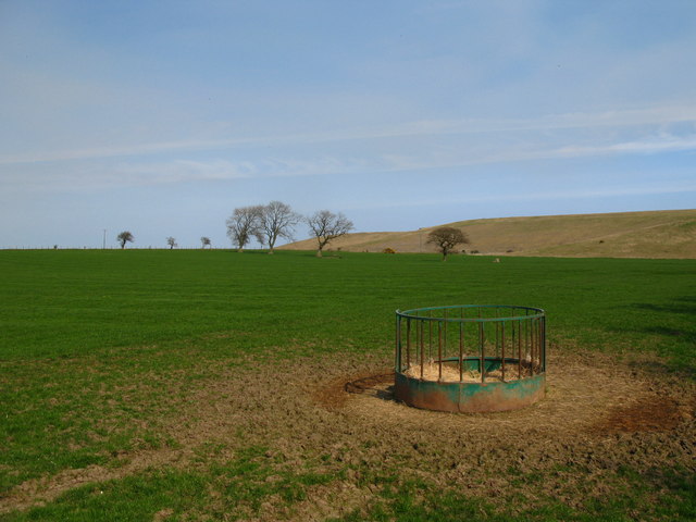
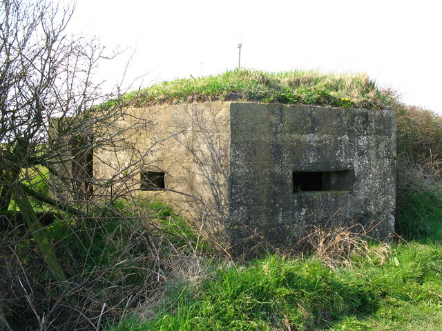
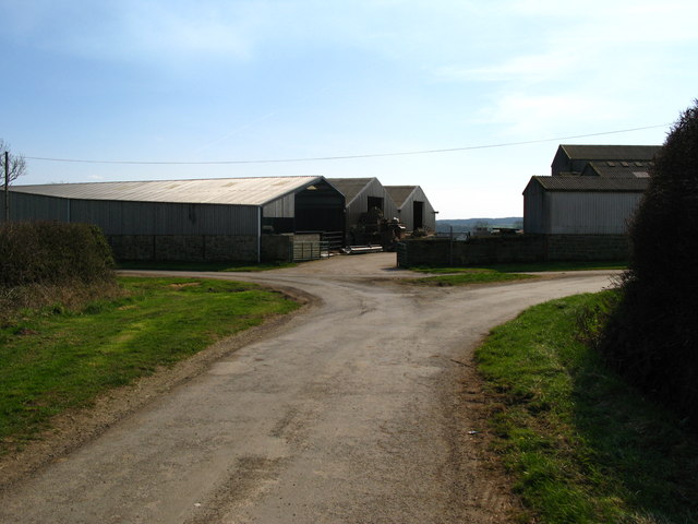
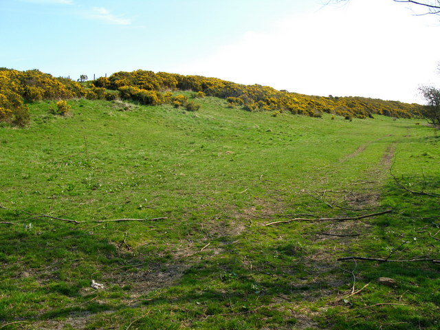
Earsdon Images

Images are sourced within 2km of 55.236867/-1.7041206 or Grid Reference NZ1893. Thanks to Geograph Open Source API. All images are credited.

Old Milepost by the A1, north of Morpeth Cast iron post by the A1, in parish of TRITLINGTON (CASTLE MORPETH District), Earsdon Moor, on grass verge back to stone wall, on East side of road. MA bevel iron casting, erected by the Cow-causey & Buckton-Burn turnpike trust in the 19th century. 

Inscription reads:-
: M / 5 : : A / 14 :
(To Morpeth & Alnwick)

Grade II listed. List Entry Number: 1303996
<span class="nowrap"><a title="https://historicengland.org.uk/listing/the-list/list-entry/1303996" rel="nofollow ugc noopener" href="https://historicengland.org.uk/listing/the-list/list-entry/1303996">Link</a><img style="margin-left:2px;" alt="External link" title="External link - shift click to open in new window" src="https://s1.geograph.org.uk/img/external.png" width="10" height="10"/></span>

Milestone Society National ID: NB_MPAN05.
Old Milepost by the A1, north of Morpeth
Cast iron post by the A1, in parish of TRITLINGTON (CASTLE MORPETH District), Earsdon Moor, on grass verge back to stone wall, on East side of road. MA bevel iron casting, erected by the Cow-causey & Buckton-Burn turnpike trust in the 19th century. Inscription reads:- : M / 5 : : A / 14 : (To Morpeth & Alnwick) Grade II listed. List Entry Number: 1303996 LinkExternal link Milestone Society National ID: NB_MPAN05.
Oak Inn, Causey Park Bridge
Storage Tank Fenrother
Storage Tank
Fenrother
Farmyard Animals A mixture of farmyard animals enjoying the Spring sunshine.
Farmyard Animals
A mixture of farmyard animals enjoying the Spring sunshine.
Broom Plantation with dilapidated barn
Fieldhead Old farm and new developments
Fieldhead
Old farm and new developments
Shield Green Farm and waterlogged field
Shield Green
Farm and waterlogged field
Secret Entrance Almost hidden gates near Tritlington Hall
Secret Entrance
Almost hidden gates near Tritlington Hall
Modern Haystack
Modern Haystack
Spring daffodils in the gardens of Priest Bridge House
Mellow Yellow Daffodils and Rape at Earsdon Mill. Earsdon Mill is beside the main road (A1) which would have allowed the easy supply of the mill with power and the easy supply of the flour produced elsewhere.
Mellow Yellow
Daffodils and Rape at Earsdon Mill. Earsdon Mill is beside the main road (A1) which would have allowed the easy supply of the mill with power and the easy supply of the flour produced elsewhere.
Public Footpath to Causey Park Bridge Footpath starts here at Earsdon. Earsdon is now not much more than a couple of farm buildings, although at one time it had a much larger population. Villages shrank in size or completely disappeared over a long period, often changes in the economy or farming practices led people to find other jobs than farming and move away to the towns. This happened at many villages in Northumberland and Durham, mainly in the 17th and 18th centuries. Earsdon is the site of a deserted medieval settlement.
Public Footpath to Causey Park Bridge
Footpath starts here at Earsdon. Earsdon is now not much more than a couple of farm buildings, although at one time it had a much larger population. Villages shrank in size or completely disappeared over a long period, often changes in the economy or farming practices led people to find other jobs than farming and move away to the towns. This happened at many villages in Northumberland and Durham, mainly in the 17th and 18th centuries. Earsdon is the site of a deserted medieval settlement.
Earsdon, Northumberland Earsdon is now not much more than a couple of farm buildings, although at one time it had a much larger population. Villages shrank in size or completely disappeared over a long period, often changes in the economy or farming practices led people to find other jobs than farming and move away to the towns. This happened at many villages in Northumberland and Durham, mainly in the 17th and 18th centuries. Earsdon is the site of a deserted medieval settlement.
Earsdon, Northumberland
Earsdon is now not much more than a couple of farm buildings, although at one time it had a much larger population. Villages shrank in size or completely disappeared over a long period, often changes in the economy or farming practices led people to find other jobs than farming and move away to the towns. This happened at many villages in Northumberland and Durham, mainly in the 17th and 18th centuries. Earsdon is the site of a deserted medieval settlement.
World War II pill box, Earsdon A concrete pillbox stands in a hedgerow at Earsdon. It was built in World War II, probably in 1940.
World War II pill box, Earsdon
A concrete pillbox stands in a hedgerow at Earsdon. It was built in World War II, probably in 1940.
Farm at Earsdon
Farm at Earsdon
Earsdon Earsdon Burn flows through this small Northumbrian valley.
Earsdon
Earsdon Burn flows through this small Northumbrian valley.
Footpath and drive leading to West Forest and Eshott
Causey Park Hag Farm
Show me another place!

Earsdon is located at Grid Ref: NZ1893 (Lat: 55.236867, Lng: -1.7041206)

Unitary Authority: Northumberland

Police Authority: Northumbria

What 3 Words

///scorched.leaflet.mainframe. Near Longhorsley, Northumberland

Nearby Locations

Tindale Hill Earsdon

Related Wikis

Causey Park Bridge

Causey Park Bridge is a village in Northumberland, England. It is about 6 miles (10 km) to the north of Morpeth and a similar distance inland from the...

Causey Park House

Causey Park House is a 16th-century former manor house with Grade II listed building status situated at Causey Park, Northumberland, England. The Manors...

Tritlington

Tritlington is a hamlet and former civil parish about 4 miles from Morpeth, now in the parish of Tritlington and West Chevington, in the county of Northumberland...

Cockle Park Tower

Cockle Park Tower is a Grade 1 listed building in the hamlet of Cockle Park, Northumberland, England, some 4 miles (6 km) to the north of Morpeth. This...

Nearby Amenities

Located within 500m of 55.236867,-1.7041206
Earsdon Moor
Place: hamlet
Lat/Long: 55.2351217/-1.7044206
Power: pole
Lat/Long: 55.2366451/-1.70545
Power: pole
Lat/Long: 55.2367348/-1.7048845
Power: pole
Lat/Long: 55.2353722/-1.7064536
Power: pole
Lat/Long: 55.2373389/-1.7067698
Power: pole
Lat/Long: 55.2365391/-1.7061183
Power: pole
Lat/Long: 55.2364336/-1.7067204
Power: pole
Lat/Long: 55.2385257/-1.7068344
Power: pole
Lat/Long: 55.2393622/-1.7068559
Power: pole
Lat/Long: 55.2402369/-1.7069042
The data included in this document is from www.openstreetmap.org. The data is made available under ODbL.

Have you been to Earsdon?

Leave your review of Earsdon below (or comments, questions and feedback).