Easington
Settlement in Northumberland
England
Easington
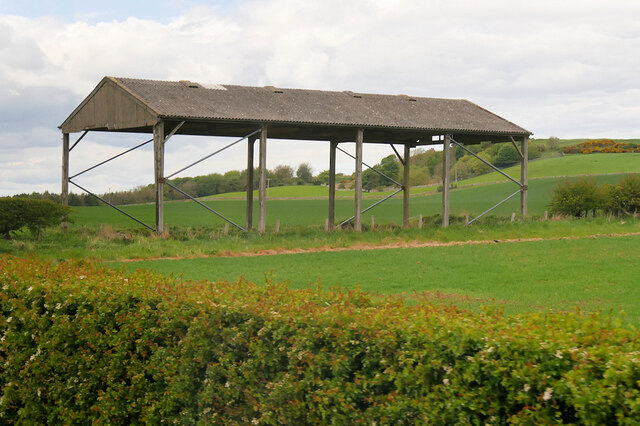
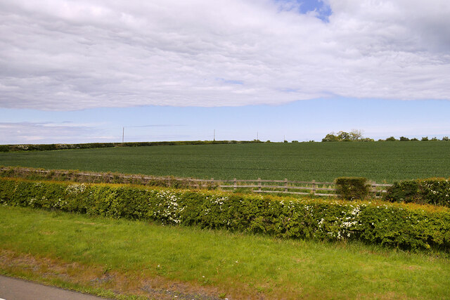
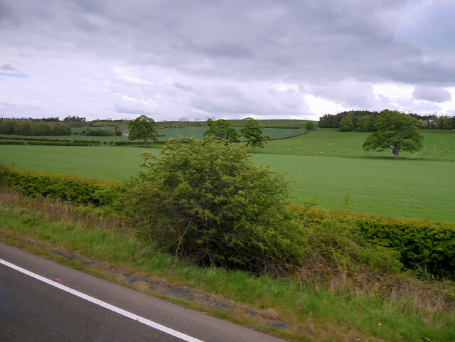
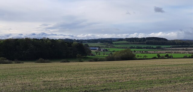
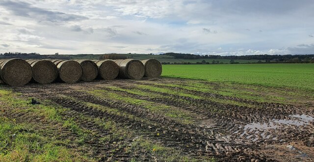
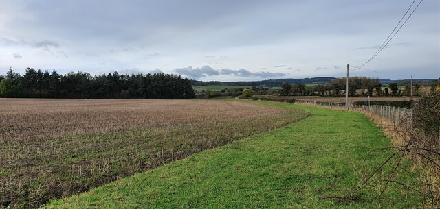
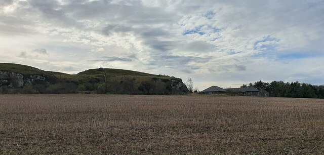
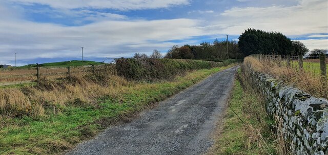
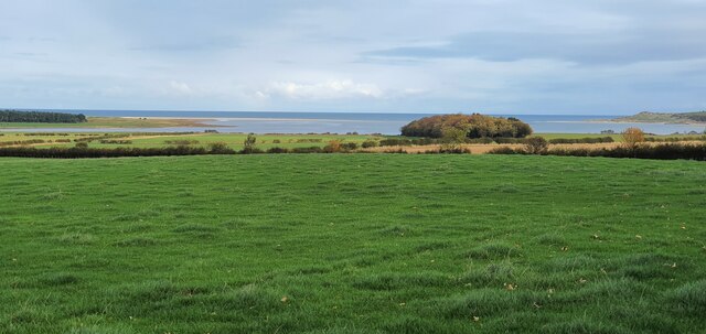
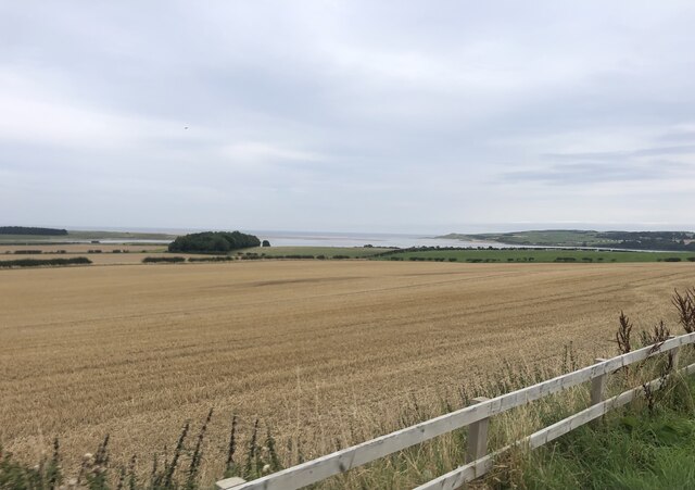
Easington is a small village located in the county of Northumberland, England. Situated on the northeast coast, it lies approximately 12 miles north of the historic town of Alnwick. Easington is surrounded by picturesque countryside and offers stunning views of the North Sea.
The village is known for its charming and peaceful atmosphere, making it an ideal spot for those seeking a tranquil getaway. The area is rich in natural beauty, with the nearby Easington Lough providing a haven for wildlife enthusiasts. The lough is a designated nature reserve and offers excellent opportunities for birdwatching and nature walks.
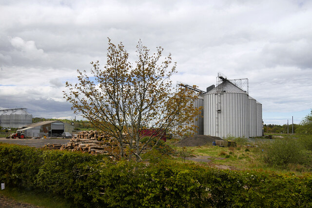
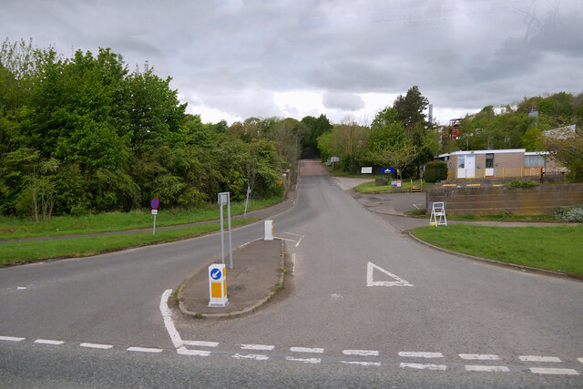
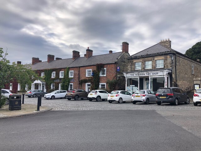
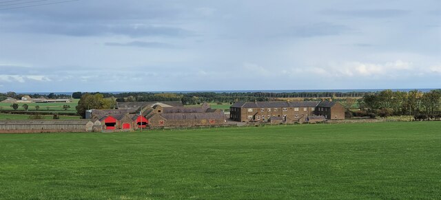
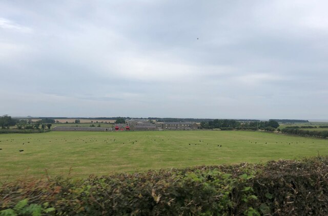
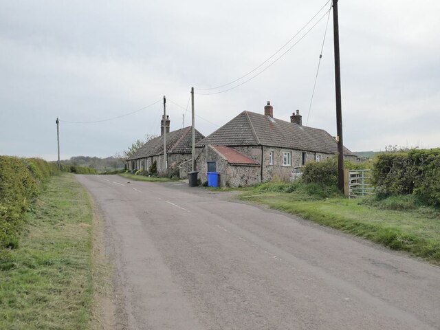
Easington boasts a close-knit community and is home to a small population. Local amenities include a village hall, a primary school, and a traditional pub. The village is also in close proximity to the larger town of Belford, which provides additional amenities such as shops, restaurants, and medical facilities.
For history enthusiasts, Easington offers a glimpse into the past with its historic landmarks. The village is known for its 12th-century church, St. John the Baptist, which features beautiful stained glass windows and a striking tower. The surrounding area is also dotted with ancient ruins, including Easington Tower, a medieval fortification that once served as a defensive structure.
Overall, Easington is a charming and idyllic village that offers a peaceful retreat and a rich history. Its natural beauty, close-knit community, and historic landmarks make it a hidden gem in the heart of Northumberland.
If you have any feedback on the listing, please let us know in the comments section below.
Easington Images
Images are sourced within 2km of 55.60666/-1.8086924 or Grid Reference NU1234. Thanks to Geograph Open Source API. All images are credited.
Easington is located at Grid Ref: NU1234 (Lat: 55.60666, Lng: -1.8086924)
Unitary Authority: Northumberland
Police Authority: Northumbria
What 3 Words
///reclining.output.cheeses. Near Belford, Northumberland
Nearby Locations
Related Wikis

Easington, Northumberland
Easington is a place and former civil parish, now in the parish of Belford about 14 miles from Alnwick, in the county of Northumberland, England. In 2011...
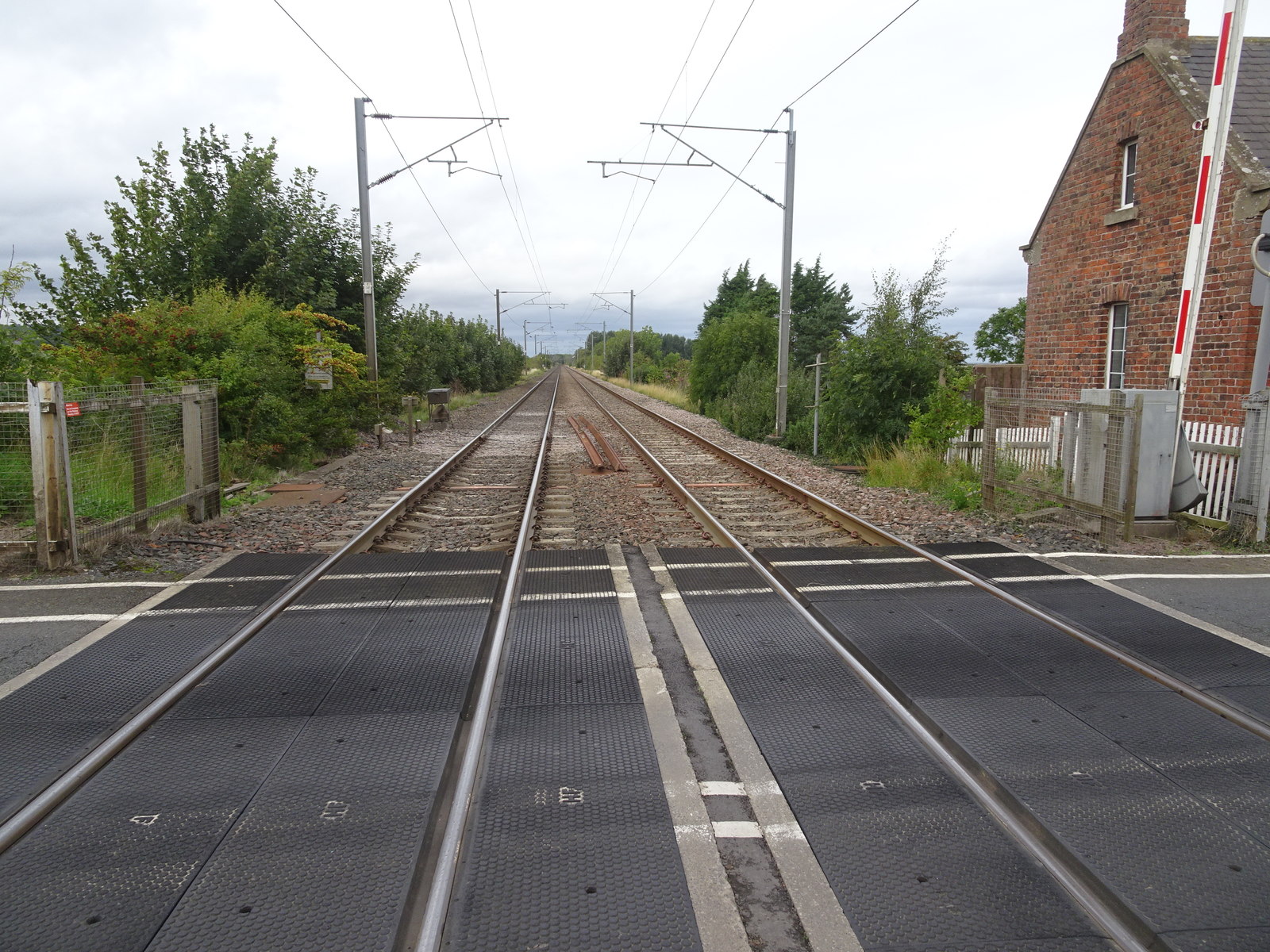
Crag Mill railway station
Crag Mill railway station served the village of Belford, Northumberland, England from around 1862 to 1877 on the East Coast Main Line. == History == The...

Belford Hall
Belford Hall is a Grade I listed building, an 18th-century mansion house situated at Belford, Northumberland. The Manor of Belford was acquired by the...

Belford railway station (England)
Belford railway station is a disused station situated on the East Coast Main Line between the current Chathill and Berwick-upon-Tweed stations serving...
Nearby Amenities
Located within 500m of 55.60666,-1.8086924Have you been to Easington?
Leave your review of Easington below (or comments, questions and feedback).