Dykesfield

Settlement in Cumberland Carlisle

England

Dykesfield

Signpost at Boustead Hill Overlooking Burgh Marsh and the River Eden as it joins the Channel of the River Esk, and on the line of Hadrian's Wall.
Signpost at Boustead Hill Credit: M J Richardson

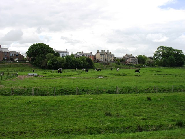
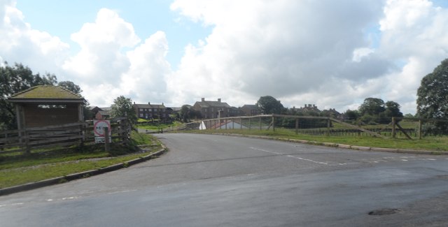
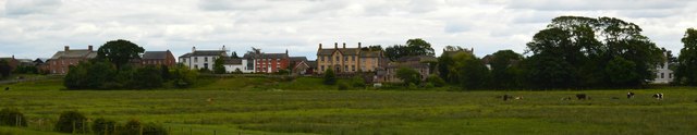
Dykesfield is a small village located in the county of Cumberland, in the northwestern part of England. Situated amidst the picturesque landscape of the Lake District National Park, it is nestled between the towns of Carlisle and Penrith.

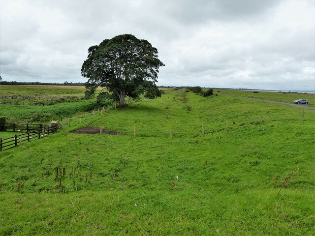
The village is known for its stunning natural beauty, with rolling hills, lush green meadows, and idyllic farmland surrounding it. It offers a peaceful and tranquil environment, making it a popular destination for those seeking a retreat from the hustle and bustle of city life.

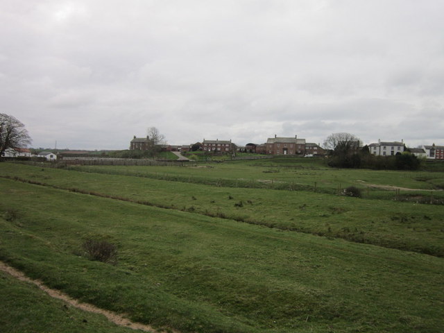
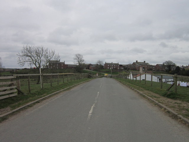
Dykesfield is primarily a rural community, characterized by charming stone-built cottages, some of which date back several centuries. Its rich history is evident in the local architecture and landmarks, including the historic St. Mary's Church, which stands as a testament to the village's heritage.

Despite its small size, Dykesfield boasts a close-knit community that takes great pride in preserving its traditions and culture. The village hosts various events throughout the year, such as summer fairs and Christmas markets, where locals and visitors come together to celebrate and showcase their talents.

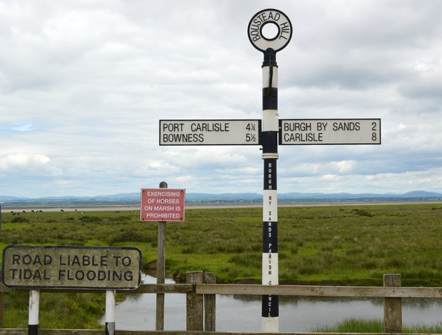
For outdoor enthusiasts, Dykesfield offers ample opportunities for exploration and recreation. The nearby Lake District provides a haven for hikers, cyclists, and nature lovers, with its numerous trails, lakes, and breathtaking vistas.

Overall, Dykesfield is a charming countryside village that offers a glimpse into the beauty of rural England. With its scenic surroundings, rich history, and strong community spirit, it is an ideal destination for those seeking a peaceful retreat or wanting to immerse themselves in the natural wonders of the Lake District.

If you have any feedback on the listing, please let us know in the comments section below.
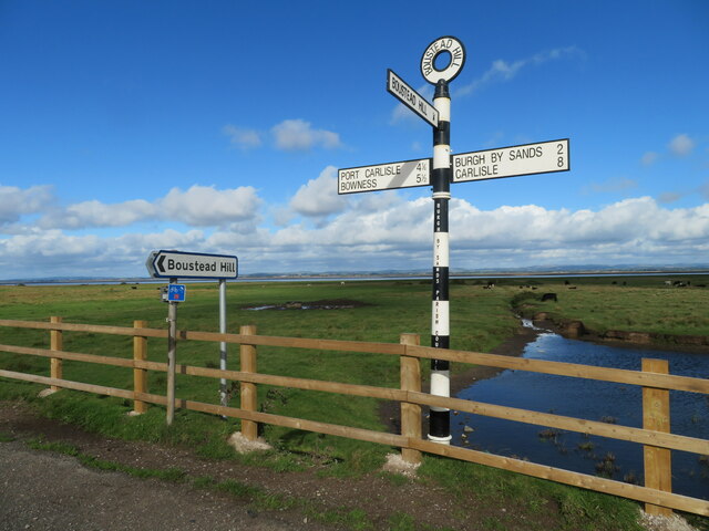
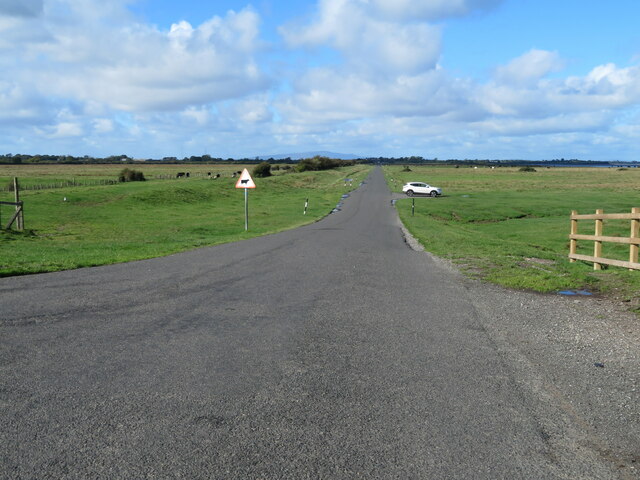
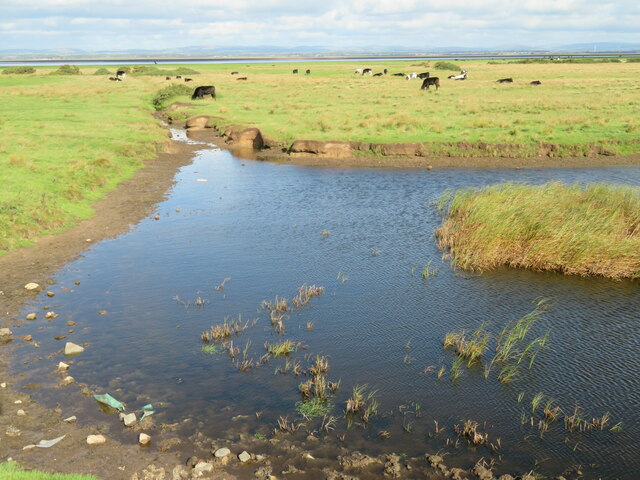
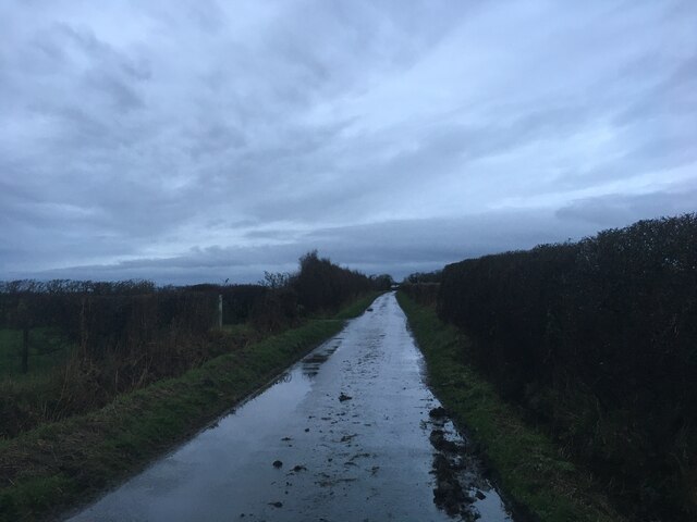
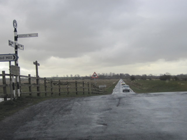
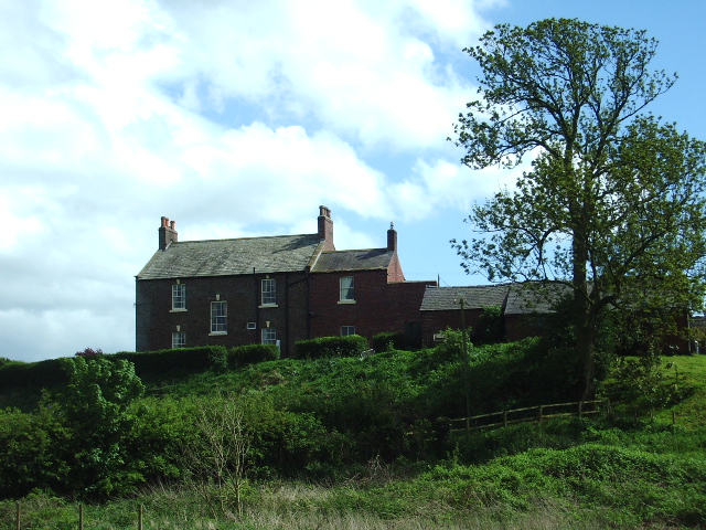
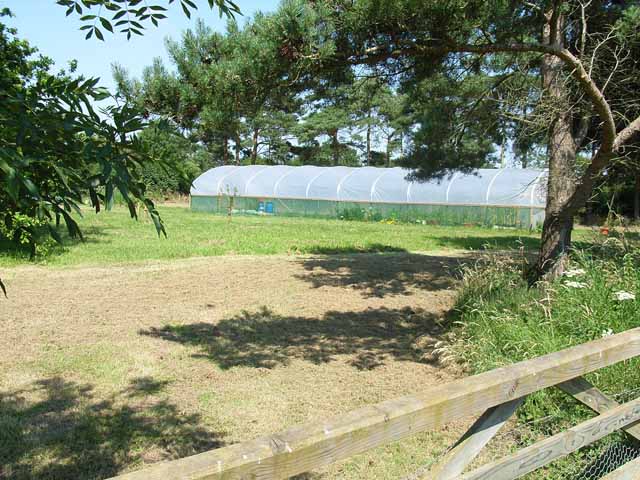
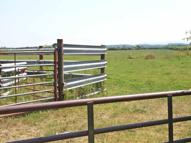
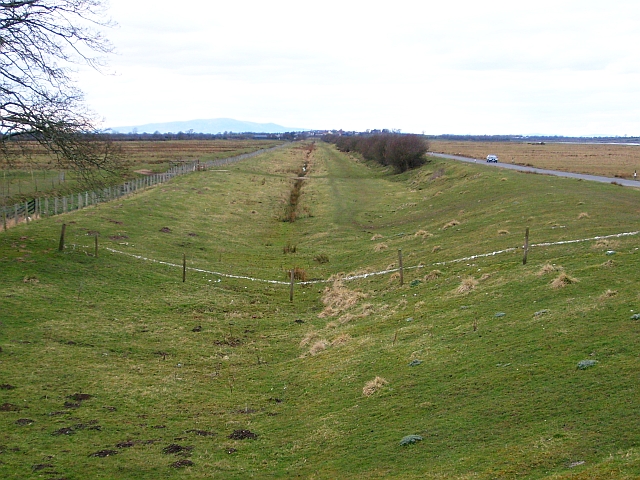
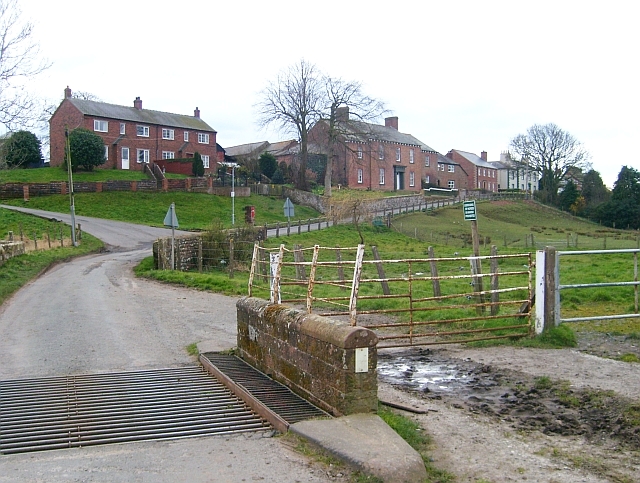
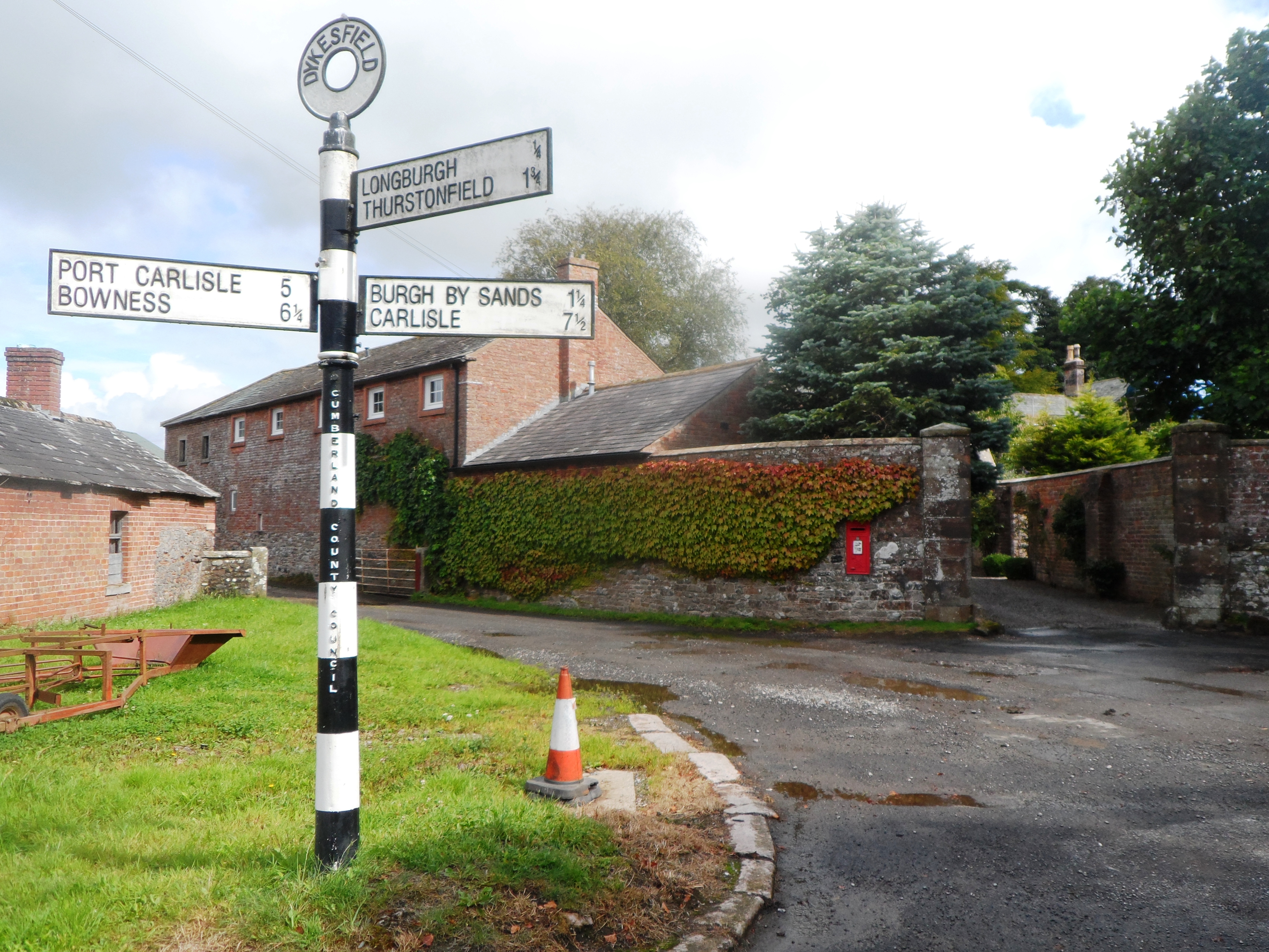
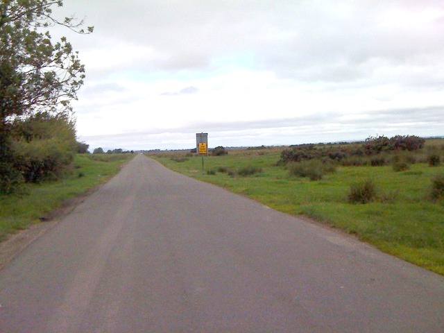
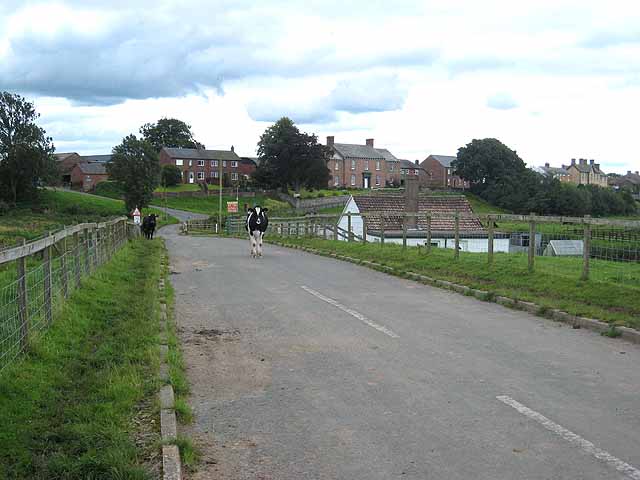
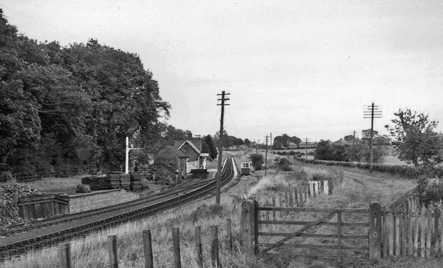
Dykesfield Images

Images are sourced within 2km of 54.922374/-3.0815765 or Grid Reference NY3059. Thanks to Geograph Open Source API. All images are credited.

Signpost at Boustead Hill Overlooking Burgh Marsh and the River Eden as it joins the Channel of the River Esk, and on the line of Hadrian's Wall.
Signpost at Boustead Hill
Overlooking Burgh Marsh and the River Eden as it joins the Channel of the River Esk, and on the line of Hadrian's Wall.
The road to Port Carlisle Heading west along the line of Hadrian's Wall from Boustead Hill. The indistinct hump on the horizon is Criffel, 34 km to the west, in Dumfries & Galloway across the Solway.
The road to Port Carlisle
Heading west along the line of Hadrian's Wall from Boustead Hill. The indistinct hump on the horizon is Criffel, 34 km to the west, in Dumfries & Galloway across the Solway.
Pool in Burgh Marsh Looking north across the marsh to the River Eden.
Pool in Burgh Marsh
Looking north across the marsh to the River Eden.
Minor road towards Boustead Hill
Canal Mile Marker, Boustead Hill Close to the route of the Carlisle Canal which was then laid to rail for the Carlisle and Silloth Branch of the North British Railway (NBR) opened 1854 see <span class="nowrap"><a title="https://en.wikipedia.org/wiki/Carlisle_and_Silloth_Bay_Railway" rel="nofollow ugc noopener" href="https://en.wikipedia.org/wiki/Carlisle_and_Silloth_Bay_Railway">Link</a><img style="margin-left:2px;" alt="External link" title="External link - shift click to open in new window" src="https://s1.geograph.org.uk/img/external.png" width="10" height="10"/></span>.

Inscription: 6

Milestone Society National ID: CAR-06
Canal Mile Marker, Boustead Hill
Close to the route of the Carlisle Canal which was then laid to rail for the Carlisle and Silloth Branch of the North British Railway (NBR) opened 1854 see LinkExternal link. Inscription: 6 Milestone Society National ID: CAR-06
Route of former railway The route of the Carlisle branch line to Silloth and Port Carlisle running close to the estuary and viewed from Boustead Hill Bridge. It was firstly also the route of the Carlisle Canal.
Route of former railway
The route of the Carlisle branch line to Silloth and Port Carlisle running close to the estuary and viewed from Boustead Hill Bridge. It was firstly also the route of the Carlisle Canal.
Looking towards Boustead Hill
The road to Boustead Hill
Boustead Hill Beside the Solway Firth, a small village 10 metres above Mean Sea Level can well justify the word 'Hill' in its name.
Boustead Hill
Beside the Solway Firth, a small village 10 metres above Mean Sea Level can well justify the word 'Hill' in its name.
Boustead Hill
Boustead Hill
Hadrian's Wall Walk Day 1 - Bowness on Solway to Carlisle 3 Boustead Hill viewed from the Drumburgh to Burgh by Sands road.
Hadrian's Wall Walk Day 1 - Bowness on Solway to Carlisle 3
Boustead Hill viewed from the Drumburgh to Burgh by Sands road.
Fingerpost & friends This fingerpost, along with its coterie of hazard warning signs, are situated opposite the Boustead Hill road between Drumburgh and Burgh by Sands.
Fingerpost & friends
This fingerpost, along with its coterie of hazard warning signs, are situated opposite the Boustead Hill road between Drumburgh and Burgh by Sands.
Solway coastal road at Boustead Hill
Highfield Farm This farmhouse has excellent views of the Solway Firth to the north
Highfield Farm
This farmhouse has excellent views of the Solway Firth to the north
Polythene greenhouse, Boustead Hill
Livestock pen at Boustead Hill
Line of former canal and railway The Carlisle Canal, opened in 1823, passed through here on its route to Port Carlisle. By 1854 it had been drained and replaced by a railway, which itself closed in 1964.
Line of former canal and railway
The Carlisle Canal, opened in 1823, passed through here on its route to Port Carlisle. By 1854 it had been drained and replaced by a railway, which itself closed in 1964.
Cattle grid on road to Boustead Hill The turning on the left just up the road is for <a href="https://www.geograph.org.uk/photo/171866">NY2959 : Highfield Farm</a>.
Cattle grid on road to Boustead Hill
The turning on the left just up the road is for NY2959 : Highfield Farm.
Show me another place!

Dykesfield is located at Grid Ref: NY3059 (Lat: 54.922374, Lng: -3.0815765)

Administrative County: Cumbria

District: Carlisle

Police Authority: Cumbria

What 3 Words

///trial.advantage.intruders. Near Gretna, Dumfries & Galloway

Nearby Locations

Dykesfield

Related Wikis

Nearby Amenities

Located within 500m of 54.922374,-3.0815765
Milecastle 73 (site of)
Historic: archaeological_site
Historic Civilization: ancient_roman
Razed: yes
Source: https://www.pastscape.org.uk/hob.aspx?a=0&hob_id=10726
Lat/Long: 54.9245279/-3.0792008
Bus Stop
Dykesfield
Bus: yes
Naptan AtcoCode: 090033072277
Naptan Bearing: E
Naptan CommonName: Dykesfield
Naptan Indicator: o/s
Naptan Landmark: entrance to Dykesfield Farm
Naptan NaptanCode: cumampga
Naptan Street: No name
Naptan Verified: no
Public Transport: platform
Shelter: no
Source: naptan_import
Lat/Long: 54.922565/-3.0819209
Post Box
Brand: Royal Mail
Brand Wikidata: Q638098
Mapillary: 1043414002951047
Operator: Royal Mail
Operator Wikidata: Q638098
Post Box Mounting: stone_wall
Post Box Type: wall
Ref: CA5 60
Survey Date: 2022-06-11
Lat/Long: 54.922484/-3.0815577
Longburgh
Place: hamlet
Wikidata: Q6673635
Lat/Long: 54.919955/-3.0796506
Hiking: yes
Information: guidepost
Inscription: Hadrian's Wall Path
Operator: National Trails
Tourism: information
Lat/Long: 54.9223213/-3.0812104
Barrier: kissing_gate
Foot: yes
Lat/Long: 54.9224881/-3.0835162
Access: yes
Barrier: cattle_grid
Lat/Long: 54.9224566/-3.0835266
Hiking: yes
Information: guidepost
Inscription: PUBLIC FOOTPATH FORESHORE
Tourism: information
Lat/Long: 54.9225321/-3.0836961
The data included in this document is from www.openstreetmap.org. The data is made available under ODbL.

Have you been to Dykesfield?

Leave your review of Dykesfield below (or comments, questions and feedback).