Dyke House

Settlement in Durham

England

Dyke House

Hartlepool, Redlands The benchmark is cut into a brick gatepost to the property, Redlands, located on Grange Road.
Hartlepool, Redlands Credit: Mel Towler

Dyke House is a small village located in County Durham, England. Situated in the North East of the country, it is approximately 6 miles north of the city of Durham. The village is nestled in a picturesque rural setting, surrounded by rolling hills and lush green fields.

Dyke House is known for its tranquil and peaceful atmosphere, with a population of around 500 residents. The village is characterized by its charming stone-built cottages and traditional architecture, which gives it a distinct and timeless appeal.

Despite its small size, Dyke House boasts a strong sense of community. The village has a local primary school, providing education for the younger residents. Additionally, there is a village hall that serves as a hub for various community activities and gatherings.

The area surrounding Dyke House offers plenty of opportunities for outdoor enthusiasts. The village is close to several scenic walking and cycling routes, allowing residents to enjoy the stunning natural beauty of the Durham countryside. The nearby River Wear also provides opportunities for fishing and boating.

Although Dyke House is primarily a residential area, it is conveniently located for access to amenities and services. The city of Durham is just a short drive away, offering a wide range of shops, restaurants, and cultural attractions.

In summary, Dyke House is a charming and idyllic village in County Durham. With its peaceful atmosphere, strong sense of community, and beautiful surroundings, it provides a delightful place to live or visit.

If you have any feedback on the listing, please let us know in the comments section below.

Dyke House Images

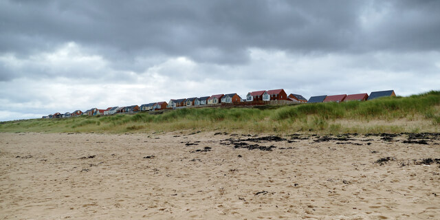
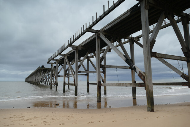
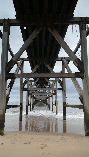
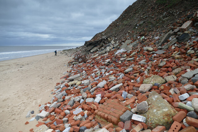
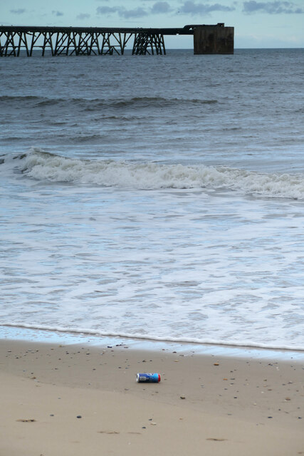
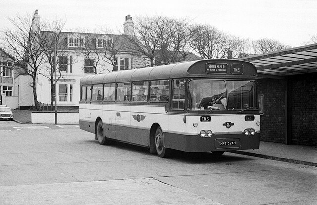
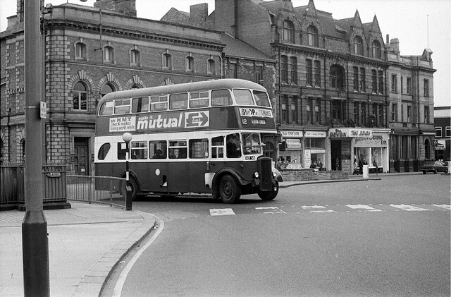
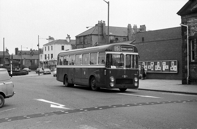
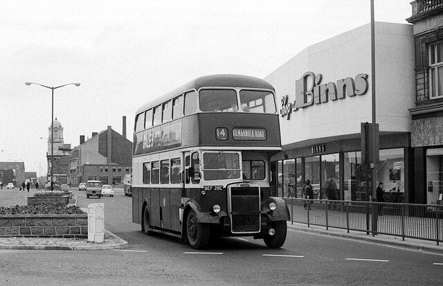
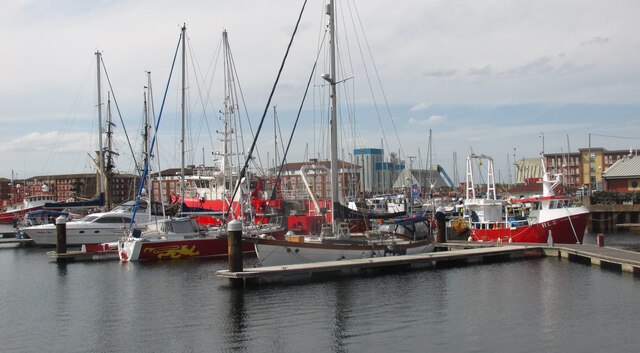
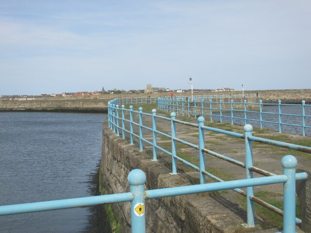
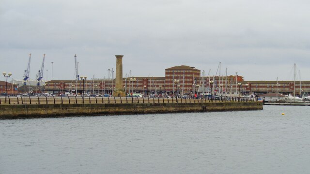
Images are sourced within 2km of 54.696987/-1.2124233 or Grid Reference NZ5033. Thanks to Geograph Open Source API. All images are credited.

Hartlepool, Redlands The benchmark is cut into a brick gatepost to the property, Redlands, located on Grange Road.
Hartlepool, Redlands
The benchmark is cut into a brick gatepost to the property, Redlands, located on Grange Road.
Hartlepool, Redlands There is a benchmark cut into the left brick gatepost of the property, Redlands, which is located on the south side of Grange Road.
Hartlepool, Redlands
There is a benchmark cut into the left brick gatepost of the property, Redlands, which is located on the south side of Grange Road.
Hartlepool, 94 Clifton Avenue The benchmark is cut into the south facing wall of the property which is on the north side of Clifton Avenue. The mark is cut into the 6th and 7th courses of brick.
Hartlepool, 94 Clifton Avenue
The benchmark is cut into the south facing wall of the property which is on the north side of Clifton Avenue. The mark is cut into the 6th and 7th courses of brick.
Hartlepool, 94 Clifton Avenue There is a benchmark cut into the south facing wall of the property which is on the north side of Clifton Avenue. The mark is cut into the 6th and 7th courses of brick.
Hartlepool, 94 Clifton Avenue
There is a benchmark cut into the south facing wall of the property which is on the north side of Clifton Avenue. The mark is cut into the 6th and 7th courses of brick.
Built on sand The site of the former Steetley Magnesite works is now a housing development, with more still under construction further right than this view. Just before World War II when the works were opened, very few were aware of the impending change in climate that is the result of mankind's emission of greenhouse gases into the atmosphere and no-one had really thought through the implications, so, since sea water was the raw material, the location would have seemed eminently sensible. Now, decades later, no-one can fail to be aware of climate change and the fact that sea levels are rising worldwide and will continue to rise for many years yet no matter how effectively action is taken to limit temperature change. You'd think the fact that Hartlepool has recently had to spend millions on sea defences just a couple of miles away at the Headland to protect older housing would mean that their planning department would have an inkling of the future impact. But here we see houses built on sand just a few metres above present sea level calling into question the whole idea of "safe as houses". These ones are unquestionably temporary and will no doubt succumb to the combined volume of the Greenland and Antarctic ice sheets being turned into sea water, pushed inland by storm surges as the climate gets wilder. I can imagine that, just like the flammable cladding on tower blocks, developers will not end up paying the costs of their negligence, householders will be bankrupted and the whole lot will end up in the sea. I cannot imagine what would possess anyone to spend real money on such a residence. Even in biblical times it was known to be foolish to build on sand...
Built on sand
The site of the former Steetley Magnesite works is now a housing development, with more still under construction further right than this view. Just before World War II when the works were opened, very few were aware of the impending change in climate that is the result of mankind's emission of greenhouse gases into the atmosphere and no-one had really thought through the implications, so, since sea water was the raw material, the location would have seemed eminently sensible. Now, decades later, no-one can fail to be aware of climate change and the fact that sea levels are rising worldwide and will continue to rise for many years yet no matter how effectively action is taken to limit temperature change. You'd think the fact that Hartlepool has recently had to spend millions on sea defences just a couple of miles away at the Headland to protect older housing would mean that their planning department would have an inkling of the future impact. But here we see houses built on sand just a few metres above present sea level calling into question the whole idea of "safe as houses". These ones are unquestionably temporary and will no doubt succumb to the combined volume of the Greenland and Antarctic ice sheets being turned into sea water, pushed inland by storm surges as the climate gets wilder. I can imagine that, just like the flammable cladding on tower blocks, developers will not end up paying the costs of their negligence, householders will be bankrupted and the whole lot will end up in the sea. I cannot imagine what would possess anyone to spend real money on such a residence. Even in biblical times it was known to be foolish to build on sand...
Steetley Magnesite pier Built shortly before World War II, the pier carried large pipes to the Steetley Magnesite works, where Magnesium was extracted from seawater until the works closed in 2005. The whole thing was then abandoned to the elements, with a gap to prevent access to the further reaches (although it would appear that means has been added to climb up, just beyond the gap). The nearer section appears to be in use to provide swings for local entertainment and the remaining parts are not yet in a state of decay, but it seems utterly out of sympathy with the modern world that the owners of the site would not have been required to remove all trace of this structure as part of the decommissioning of the works (which have now been replaced by a housing development).
Steetley Magnesite pier
Built shortly before World War II, the pier carried large pipes to the Steetley Magnesite works, where Magnesium was extracted from seawater until the works closed in 2005. The whole thing was then abandoned to the elements, with a gap to prevent access to the further reaches (although it would appear that means has been added to climb up, just beyond the gap). The nearer section appears to be in use to provide swings for local entertainment and the remaining parts are not yet in a state of decay, but it seems utterly out of sympathy with the modern world that the owners of the site would not have been required to remove all trace of this structure as part of the decommissioning of the works (which have now been replaced by a housing development).
Steetley Magnesite pier Built shortly before World War II, the pier carried large pipes to the Steetley Magnesite works, where Magnesium was extracted from seawater until the works closed in 2005. The whole thing was then abandoned to the elements, with a gap to prevent access to the further reaches - a bit of sky visible where the deck should be is the only evidence of this in this particular view. The nearer section appears to be in use to provide swings for local entertainment and the remaining parts are not yet in a state of decay, but it seems utterly out of sympathy with the modern world that the owners of the site would not have been required to remove all trace of this structure as part of the decommissioning of the works (which have now been replaced by a housing development).
Steetley Magnesite pier
Built shortly before World War II, the pier carried large pipes to the Steetley Magnesite works, where Magnesium was extracted from seawater until the works closed in 2005. The whole thing was then abandoned to the elements, with a gap to prevent access to the further reaches - a bit of sky visible where the deck should be is the only evidence of this in this particular view. The nearer section appears to be in use to provide swings for local entertainment and the remaining parts are not yet in a state of decay, but it seems utterly out of sympathy with the modern world that the owners of the site would not have been required to remove all trace of this structure as part of the decommissioning of the works (which have now been replaced by a housing development).
Cheap and nasty "rock armour" Millions have been spent in adding rock armour around Hartlepool's Headland less than a mile to the southeast to defend housing there from North Sea storms and the erosion they cause. The rock used is not entirely in keeping with the local geology (Magnesian Limestone) but at least it looks fairly natural. Here a cheaper and far less aesthetic solution has been adopted with huge amounts of builders' rubble and old reinforcing steel dumped in front of the dune face - no doubt avoiding landfill tax too! Small, and very rounded, pieces of brick litter the beach, suggesting that longevity was not a consideration, and that most of this material will end up adding much to the sand and nothing to the stability of the coast. Meanwhile, it is pretty offensive in its ugliness.
Cheap and nasty "rock armour"
Millions have been spent in adding rock armour around Hartlepool's Headland less than a mile to the southeast to defend housing there from North Sea storms and the erosion they cause. The rock used is not entirely in keeping with the local geology (Magnesian Limestone) but at least it looks fairly natural. Here a cheaper and far less aesthetic solution has been adopted with huge amounts of builders' rubble and old reinforcing steel dumped in front of the dune face - no doubt avoiding landfill tax too! Small, and very rounded, pieces of brick litter the beach, suggesting that longevity was not a consideration, and that most of this material will end up adding much to the sand and nothing to the stability of the coast. Meanwhile, it is pretty offensive in its ugliness.
Two sorts of abandonment Both the 99p Omega White Cider can, and the old Steetley Magnesite pier have been abandoned. Whilst the can is the result of just careless antisocial behaviour, the pier is a greater magnitude of unacceptable destruction of the environment - and no doubt a lot more expensive to remove. But in this second case, there is no doubt that deliberate decisions were taken to avoid the cost of removal and no legal action has been enforced on the former owners of Steetley Magnesite works (which closed in 2005 rendering the pier derelict) to remove their offensive rubbish.
Two sorts of abandonment
Both the 99p Omega White Cider can, and the old Steetley Magnesite pier have been abandoned. Whilst the can is the result of just careless antisocial behaviour, the pier is a greater magnitude of unacceptable destruction of the environment - and no doubt a lot more expensive to remove. But in this second case, there is no doubt that deliberate decisions were taken to avoid the cost of removal and no legal action has been enforced on the former owners of Steetley Magnesite works (which closed in 2005 rendering the pier derelict) to remove their offensive rubbish.
Hartlepool Bus Station – 1971 Although the modern Transport Interchange is on much the same site, the whole area has been developed out of recognition as a result of the construction of the modern A179, and the house in the background no longer exists.

Trimdon Motor Services was one of many independent operators serving the Durham coalfields with quite a substantial network of services, and one of the few to survive potential takeover by United Automobile service and the immediate aftermath of deregulation in 1986. The bus is a Leyland Leopard with Plaxton bodywork.

This is one of a series of views featuring buses in the 60s, 70s, and 80s. <a title="https://www.geograph.org.uk/search.php?i=137652761" href="https://www.geograph.org.uk/search.php?i=137652761">Link</a>
Hartlepool Bus Station – 1971
Although the modern Transport Interchange is on much the same site, the whole area has been developed out of recognition as a result of the construction of the modern A179, and the house in the background no longer exists. Trimdon Motor Services was one of many independent operators serving the Durham coalfields with quite a substantial network of services, and one of the few to survive potential takeover by United Automobile service and the immediate aftermath of deregulation in 1986. The bus is a Leyland Leopard with Plaxton bodywork. This is one of a series of views featuring buses in the 60s, 70s, and 80s. Link
Church Street, Hartlepool – 1971 Despite major redevelopment of Church Square and Church Street, this particular row of buildings has survived intact. The Devon was a bar, apparently in the basement, which appears to have had a less than salubrious reputation by the 1970s.

The bus is Hartlepool Corporation 81, a Daimler CVG6 with Roe bodywork new in 1953, so already long in the tooth for a municipal bus.

This is one of a series of views featuring buses in the 60s, 70s, and 80s. <a title="https://www.geograph.org.uk/search.php?i=137652761" href="https://www.geograph.org.uk/search.php?i=137652761">Link</a>
Church Street, Hartlepool – 1971
Despite major redevelopment of Church Square and Church Street, this particular row of buildings has survived intact. The Devon was a bar, apparently in the basement, which appears to have had a less than salubrious reputation by the 1970s. The bus is Hartlepool Corporation 81, a Daimler CVG6 with Roe bodywork new in 1953, so already long in the tooth for a municipal bus. This is one of a series of views featuring buses in the 60s, 70s, and 80s. Link
Church Street West, Hartlepool – 1971 The buildings visible are little changed, although the scenery has changed dramatically, the road, with Church Square beyond, now being a traffic free open space <a title="https://www.geograph.org.uk/photo/5953657" href="https://www.geograph.org.uk/photo/5953657">Link</a> .

The bus is Hartlepool Corporation 36, one of a batch of 5 Leyland Leopards with ECW bodywork. They were the first ECW bodies delivered to a non-BTC operator after Leyland had taken a 25% share in ECW in 1965. The front end design was non-standard and as far as I am aware was unique to these 5 buses.

This is one of a series of views featuring buses in the 60s, 70s, and 80s. <a title="https://www.geograph.org.uk/search.php?i=137652761" href="https://www.geograph.org.uk/search.php?i=137652761">Link</a>
Church Street West, Hartlepool – 1971
The buildings visible are little changed, although the scenery has changed dramatically, the road, with Church Square beyond, now being a traffic free open space Link . The bus is Hartlepool Corporation 36, one of a batch of 5 Leyland Leopards with ECW bodywork. They were the first ECW bodies delivered to a non-BTC operator after Leyland had taken a 25% share in ECW in 1965. The front end design was non-standard and as far as I am aware was unique to these 5 buses. This is one of a series of views featuring buses in the 60s, 70s, and 80s. Link
Stockton Street, Hartlepool – 1971 The shop proclaims 'Shop at Binns', and perhaps the most unusual feature of the picture is that the bus does not carry the same slogan on the front above the destination. The slogan was almost ubiquitous on double-deck buses throughout the north east. Binns was a chain of large department stores based in Sunderland but which then spread across the north east and later further afield. Following takeover by House of Fraser in 1953, stores from other taken-over companies were often given the Binns name. The name ceased to be used after 2006 when the ownership of House of Fraser changed. In the distance is the tower of the Co-operative department store <a title="https://www.geograph.org.uk/photo/4011351" href="https://www.geograph.org.uk/photo/4011351">Link</a> .

The bus is Hartlepool Corporation 28, a Leyland PD2 with Roe bodywork new in 1965. It was the last double deck bus to be purchased by the corporation.

This is one of a series of views featuring buses in the 60s, 70s, and 80s. <a title="https://www.geograph.org.uk/search.php?i=137652761" href="https://www.geograph.org.uk/search.php?i=137652761">Link</a>
Stockton Street, Hartlepool – 1971
The shop proclaims 'Shop at Binns', and perhaps the most unusual feature of the picture is that the bus does not carry the same slogan on the front above the destination. The slogan was almost ubiquitous on double-deck buses throughout the north east. Binns was a chain of large department stores based in Sunderland but which then spread across the north east and later further afield. Following takeover by House of Fraser in 1953, stores from other taken-over companies were often given the Binns name. The name ceased to be used after 2006 when the ownership of House of Fraser changed. In the distance is the tower of the Co-operative department store Link . The bus is Hartlepool Corporation 28, a Leyland PD2 with Roe bodywork new in 1965. It was the last double deck bus to be purchased by the corporation. This is one of a series of views featuring buses in the 60s, 70s, and 80s. Link
Hartlepool marina. Short walk around the marina.
Hartlepool marina.
Short walk around the marina.
West Harbour. Hartlepool.
West Harbour.
Hartlepool.
Jackson's Landing With the Seaton High Light, viewed from the 'Historic Quay'. The High Light is a re-positioned River Tees navigational light tower
Jackson's Landing
With the Seaton High Light, viewed from the 'Historic Quay'. The High Light is a re-positioned River Tees navigational light tower
PSS Wingfield Castle At the 'Historic Quay' museum, a former River Humber ferry
PSS Wingfield Castle
At the 'Historic Quay' museum, a former River Humber ferry
Historic Quay Entrance Naval gun exhibit with historic quayside buildings behind and the masts of HMS Trincomalee
Historic Quay Entrance
Naval gun exhibit with historic quayside buildings behind and the masts of HMS Trincomalee
Show me another place!

Dyke House is located at Grid Ref: NZ5033 (Lat: 54.696987, Lng: -1.2124233)

Unitary Authority: Hartlepool

Police Authority: Cleveland

What 3 Words

///bills.matter.libraries. Near Hartlepool, Co. Durham

Nearby Locations

Dyke House

Related Wikis

Dyke House Academy

Dyke House Academy (formerly Dyke House Secondary Modern School, Dyke House Comprehensive School and then Dyke House Sports and Technology College) is...

Nasir Mosque

The Nasir Mosque, built in 2005 and located on Brougham Terrace, is the first purpose-built mosque in Hartlepool, County Durham, England. The mosque was...

Hartlepool

Hartlepool ( HART-lih-pool) is a seaside and port town in County Durham, England. It is governed by a unitary authority borough named after the town. The...

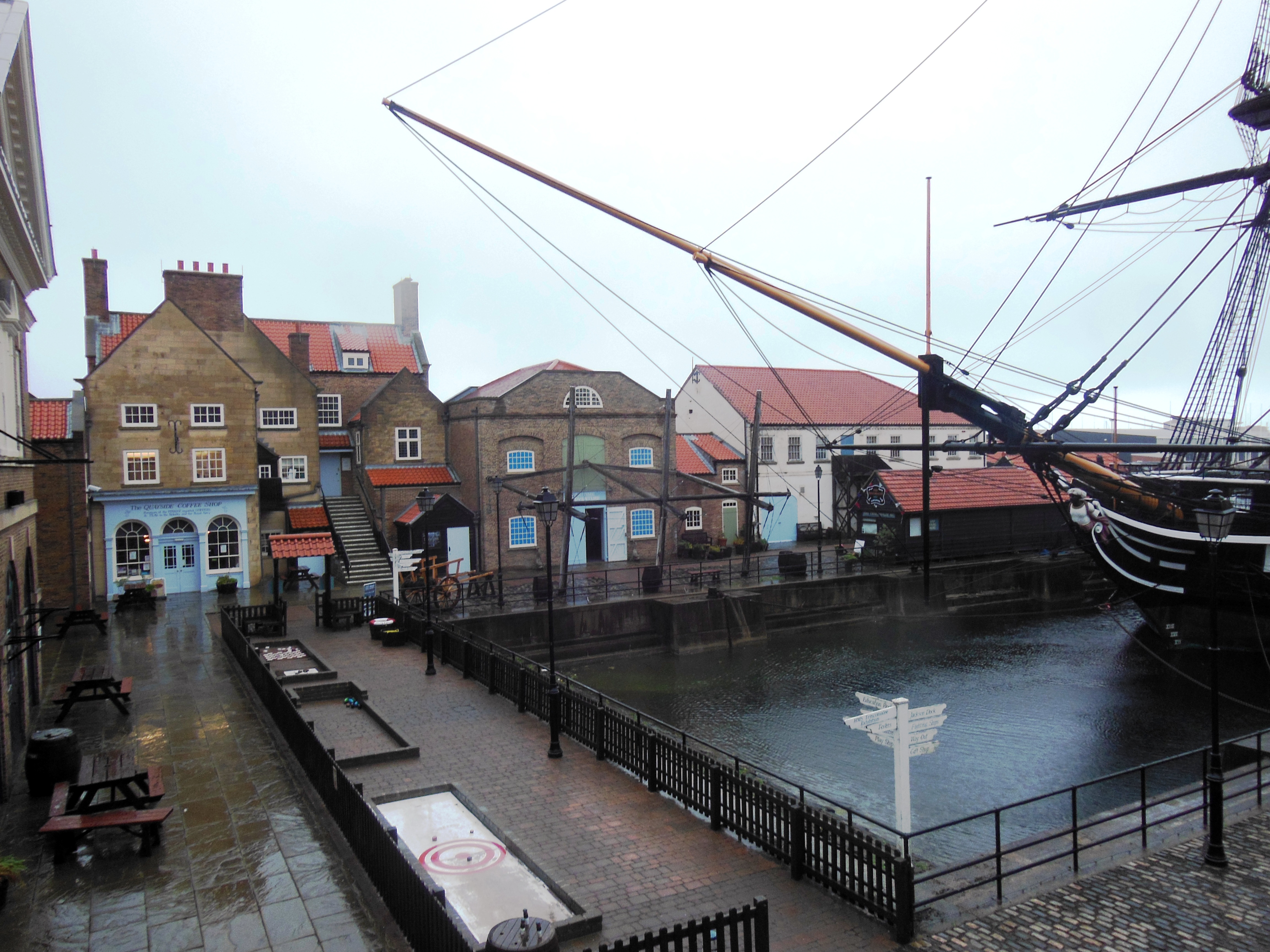
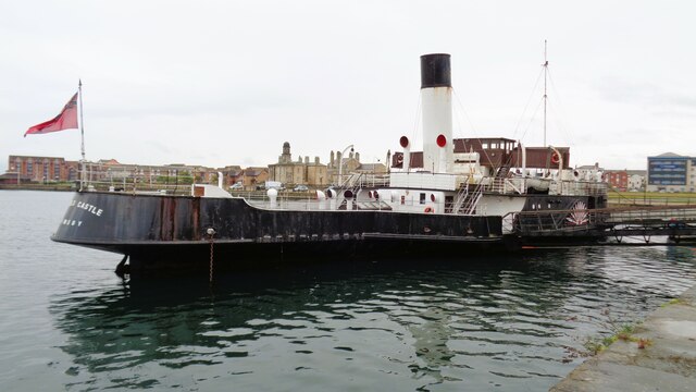
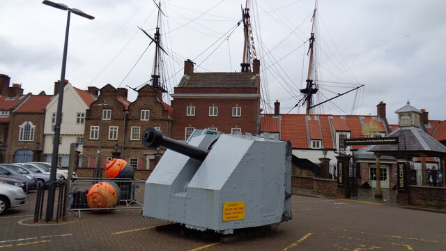
National Museum of the Royal Navy, Hartlepool

The National Museum of the Royal Navy (NMRN) is a maritime exposition and visitor attraction in Hartlepool, County Durham, Northern England. The concept...

Nearby Amenities

Located within 500m of 54.696987,-1.2124233
Traffic Signals
Lat/Long: 54.6983822/-1.2159651
Crossing
Bicycle: yes
Crossing: unmarked
Crossing Markings: no
Lat/Long: 54.6987265/-1.2113708
Crossing
Crossing: unmarked
Crossing Markings: no
Kerb: lowered
Tactile Paving: yes
Lat/Long: 54.6981687/-1.2105209
Crossing
Crossing: unmarked
Crossing Markings: no
Kerb: lowered
Tactile Paving: yes
Lat/Long: 54.698136/-1.2103645
Lancaster Road Junction
Railway: switch
Lat/Long: 54.6937904/-1.2117124
Turning Circle
Lat/Long: 54.6982782/-1.2128834
Traffic Calming: cushion
Lat/Long: 54.7003987/-1.2114086
Crossing
Lat/Long: 54.7002665/-1.2090922
Crossing
Crossing: unmarked
Crossing Island: yes
Crossing Markings: no
Kerb: lowered
Tactile Paving: yes
Lat/Long: 54.7004505/-1.2087687
Crossing
Crossing: unmarked
Lat/Long: 54.6987715/-1.210917
Crossing
Crossing: unmarked
Tactile Paving: yes
Lat/Long: 54.6980443/-1.2126333
Crossing
Crossing: unmarked
Kerb: lowered
Tactile Paving: yes
Lat/Long: 54.6984388/-1.2095754
Crossing
Crossing: unmarked
Kerb: lowered
Tactile Paving: yes
Lat/Long: 54.6989112/-1.2099711
Crossing
Crossing: unmarked
Kerb: lowered
Tactile Paving: yes
Lat/Long: 54.6983656/-1.2096426
Railway: switch
Lat/Long: 54.6993729/-1.2066365
Railway: buffer_stop
Lat/Long: 54.6991326/-1.20945
Check Date: 2022-11-14
Traffic Calming: cushion
Lat/Long: 54.6925/-1.2119483
Check Date: 2022-11-14
Traffic Calming: cushion
Lat/Long: 54.6931049/-1.211999
Check Date: 2022-11-14
Traffic Calming: cushion
Lat/Long: 54.6937613/-1.2120834
Traffic Calming: cushion
Lat/Long: 54.6938644/-1.2127145
Traffic Calming: cushion
Lat/Long: 54.6944345/-1.2121654
Traffic Calming: cushion
Lat/Long: 54.6946853/-1.2126452
Traffic Calming: cushion
Lat/Long: 54.6950616/-1.2122425
Traffic Calming: cushion
Lat/Long: 54.695856/-1.2123221
Traffic Calming: cushion
Lat/Long: 54.6965583/-1.2123969
Traffic Calming: cushion
Lat/Long: 54.6967381/-1.2158964
Traffic Calming: cushion
Lat/Long: 54.697099/-1.2124451
Traffic Calming: cushion
Lat/Long: 54.6973254/-1.2159237
Traffic Calming: cushion
Lat/Long: 54.6976879/-1.2123838
Crossing
Bicycle: yes
Crossing: unmarked
Crossing Markings: no
Tactile Paving: yes
Lat/Long: 54.6979315/-1.2124621
Crossing
Bicycle: yes
Crossing: unmarked
Crossing Markings: no
Tactile Paving: yes
Lat/Long: 54.697954/-1.2122966
Bus Stop
May Street
Bench: no
Bus: yes
Local Ref: A
Naptan AtcoCode: 075071005A
Naptan NaptanCode: haradgd
Public Transport: platform
Shelter: no
Lat/Long: 54.697992/-1.2133137
Traffic Calming: cushion
Lat/Long: 54.6980097/-1.2159566
Public Transport: stop_position
Lat/Long: 54.6980497/-1.2132988
Platform
BMB Group
Bench: yes
Bus: yes
Local Ref: A
Public Transport: platform
Shelter: yes
Lat/Long: 54.6985635/-1.2179226
Crossing
Lat/Long: 54.6986053/-1.2178133
Bus: yes
Public Transport: stop_position
Lat/Long: 54.6986168/-1.2179062
Public Transport: stop_position
Lat/Long: 54.6986917/-1.218515
Crossing
Crossing: unmarked
Lat/Long: 54.6987035/-1.2109605
Platform
Bench: no
Bus: yes
Public Transport: platform
Shelter: no
Lat/Long: 54.6987556/-1.2184921
Crossing
Crossing: unmarked
Kerb: lowered
Tactile Paving: yes
Lat/Long: 54.6989336/-1.2101327
Car Wash
Lat/Long: 54.6981293/-1.209915
Crossing
Crossing: traffic_signals
Lat/Long: 54.6982999/-1.2159633
Crossing
Crossing: traffic_signals
Lat/Long: 54.6983634/-1.215814
Barrier: bollard
Lat/Long: 54.6983718/-1.216283
Crossing
Crossing: traffic_signals
Lat/Long: 54.6984059/-1.2161639
Crossing
Crossing: traffic_signals
Lat/Long: 54.698457/-1.2159377
Traffic Calming: cushion
Lat/Long: 54.6993331/-1.2117403
Traffic Calming: cushion
Lat/Long: 54.6996828/-1.2117617
Noexit: yes
Lat/Long: 54.6983071/-1.2123353
Give Way
Direction: backward
Lat/Long: 54.6971252/-1.2065844
Give Way
Direction: forward
Lat/Long: 54.6972015/-1.2066051
Street Lamp
Lat/Long: 54.6935257/-1.216476
Man Made: utility_pole
Lat/Long: 54.6935545/-1.2161174
Street Lamp
Lat/Long: 54.6934473/-1.2169596
Barrier: kerb
Kerb: lowered
Tactile Paving: no
Lat/Long: 54.6988804/-1.2115899
Bicycle: yes
Information: route_marker
Tourism: information
Lat/Long: 54.6940579/-1.212212
Bicycle: yes
Information: route_marker
Tourism: information
Lat/Long: 54.6998569/-1.2104923
Bicycle: yes
Information: guidepost
Tourism: information
Lat/Long: 54.6979815/-1.2121689
Bicycle: yes
Information: guidepost
Tourism: information
Lat/Long: 54.6988944/-1.2115258
Crossing
Crossing: unmarked
Crossing Island: no
Kerb: lowered
Tactile Paving: yes
Lat/Long: 54.6937151/-1.2146655
Bicycle: yes
Information: route_marker
Reflective: no
Tourism: information
Lat/Long: 54.6978826/-1.2125024
Bicycle: yes
Information: route_marker
Reflective: no
Tourism: information
Lat/Long: 54.6981379/-1.2121116
Crossing
Crossing: unmarked
Crossing Island: no
Kerb: lowered
Tactile Paving: yes
Lat/Long: 54.6939005/-1.212175
Demolished Advertising: billboard
Demolished Animated: no
Demolished Direction: 280
Demolished Lit: yes
Demolished Operator: global
Demolished Sides: 1
Demolished Support: pole
Lat/Long: 54.6979493/-1.2121262
Camera Angle: 30
Camera Direction: 45
Camera Mount: wall
Camera Type: fixed
Height: 3.5
Man Made: surveillance
Surveillance: public
Surveillance Type: camera
Surveillance Zone: town
Lat/Long: 54.6978366/-1.2124985
Bicycle: yes
Information: guidepost
Tourism: information
Lat/Long: 54.6986732/-1.2113357
Description: supplies power to lit billboard
Man Made: street_cabinet
Street Cabinet: power
Lat/Long: 54.6979457/-1.2121543
Bicycle: yes
Information: route_marker
Tourism: information
Lat/Long: 54.6987653/-1.2116359
Bicycle: yes
Information: guidepost
Tourism: information
Lat/Long: 54.6998032/-1.2102839
Bicycle: yes
Direction: N
Information: route_marker
Tourism: information
Lat/Long: 54.6969545/-1.2123074
Advertising: billboard
Animated: no
Direction: 110
Sides: 1
Support: pole
Lat/Long: 54.6987964/-1.2118721
Advertising: billboard
Animated: no
Height: 3
Luminous: yes
Operator: global
Sides: 1
Support: wall_mounted
Lat/Long: 54.6986565/-1.2119694
Crossing
Crossing: unmarked
Crossing Island: no
Tactile Paving: no
Lat/Long: 54.6990767/-1.2115761
Crossing
Bicycle: yes
Crossing: unmarked
Crossing Markings: no
Lat/Long: 54.6987616/-1.2114935
Crossing
Crossing: unmarked
Tactile Paving: yes
Lat/Long: 54.6980213/-1.2124604
Advertising: billboard
Direction: 230
Message: commercial
Size: 0.6*0.8
Lat/Long: 54.6988026/-1.2114009
Give Way
Direction: forward
Lat/Long: 54.6999725/-1.2094612
Waste Basket
Waste: trash
Lat/Long: 54.6979482/-1.2127816
Bicycle: yes
Direction Northeast: yes
Est End Date: 2028-2030
Information: route_marker
Reflective: yes
Start Date: 2023-01-31
Tourism: information
Lat/Long: 54.6988936/-1.2115275
Bicycle: yes
Direction Northeast: yes
Est End Date: 2028-2030
Information: route_marker
Reflective: yes
Start Date: 2023-01-31
Tourism: information
Lat/Long: 54.6990288/-1.2116338
Bicycle: yes
Direction Southwest: yes
Est End Date: 2028-2030
Information: route_marker
Reflective: yes
Start Date: 2023-01-31
Tourism: information
Lat/Long: 54.6998035/-1.2102842
Man Made: mast
Tower Type: lighting
Lat/Long: 54.6964543/-1.2055966
Man Made: mast
Tower Type: lighting
Lat/Long: 54.6955677/-1.2051272
Street Lamp
Lat/Long: 54.6985798/-1.2124738
Street Lamp
Lat/Long: 54.6983167/-1.2123873
Barrier: cycle_barrier
Cycle Barrier: double
Lat/Long: 54.6969504/-1.2147295
Barrier: kerb
Kerb: raised
Tactile Paving: no
Lat/Long: 54.6989129/-1.2116905
Waste Basket
Lat/Long: 54.7003345/-1.2088956
Crossing
Crossing: unmarked
Kerb: lowered
Tactile Paving: yes
Lat/Long: 54.7006191/-1.2088579
Camera Direction: 280
Camera Mount: pole
Camera Type: panning
Height: 6
Man Made: surveillance
Surveillance: public
Surveillance Type: camera
Surveillance Zone: traffic
Lat/Long: 54.6979332/-1.2121654
Parton Street
Bench: no
Bus: yes
Local Ref: B
Public Transport: platform
Shelter: no
Lat/Long: 54.6950381/-1.2159062
Lancaster Court
Bus: yes
Description: no public services
Local Ref: A
Public Transport: platform
Lat/Long: 54.69373/-1.2136317
Brougham Terrace East End
Bus: yes
Description: no public services
Local Ref: A
Public Transport: platform
Lat/Long: 54.6938867/-1.2119783
Waste Basket
Lat/Long: 54.6938367/-1.2119417
Amberton Road
Bench: no
Bus: yes
Description: no public services
Local Ref: A
Public Transport: platform
Shelter: no
Lat/Long: 54.6970819/-1.2159948
Traffic Calming: cushion
Lat/Long: 54.6956557/-1.2198415
Fire Hydrant
Emergency: fire_hydrant
Fire Hydrant Type: underground
Lat/Long: 54.696011/-1.2199195
Barrier: kerb
Lat/Long: 54.6960845/-1.2200467
Traffic Calming: cushion
Lat/Long: 54.6961592/-1.2200035
May Street
Bench: no
Bus: yes
Local Ref: B
Public Transport: platform
Shelter: no
Lat/Long: 54.698361/-1.2151347
Camera Mount: wall
Height: 3
Man Made: surveillance
Surveillance: public
Surveillance Type: camera
Surveillance Zone: town
Lat/Long: 54.6971123/-1.2148907
Camera Mount: wall
Camera Type: panning
Height: 4
Man Made: surveillance
Surveillance: public
Surveillance Type: camera
Surveillance Zone: town
Lat/Long: 54.6973009/-1.2151737
Camera Angle: 45
Camera Direction: 90
Camera Mount: wall
Camera Type: fixed
Height: 4
Man Made: surveillance
Surveillance: public
Surveillance Type: camera
Surveillance Zone: town
Lat/Long: 54.6969525/-1.2161229
Camera Angle: 45
Camera Direction: 135
Camera Mount: wall
Camera Type: fixed
Height: 4
Man Made: surveillance
Surveillance: public
Surveillance Type: camera
Surveillance Zone: town
Lat/Long: 54.6972945/-1.2153726
Restaurant
Romeo Pizza
Cuisine: pizza;burger;kebab
Lat/Long: 54.6978606/-1.2127084
Restaurant
Top Chef
Cuisine: chinese
Takeaway: only
Lat/Long: 54.6978804/-1.2128724
Defibrillator
Emergency: defibrillator
Lat/Long: 54.6978805/-1.2126493
lifestyle express
Shop: convenience
Lat/Long: 54.6978388/-1.2125523
Charging Station
Access: private
Lat/Long: 54.6974812/-1.2064866
Camera Direction: 80
Camera Mount: pole
Camera Type: fixed
Height: 4
Man Made: surveillance
Surveillance: public
Surveillance Type: camera
Surveillance Zone: traffic
Lat/Long: 54.697036/-1.2085449
Man Made: street_cabinet
Street Cabinet: traffic_monitoring
Lat/Long: 54.6970376/-1.2085507
Crossing
Crossing: uncontrolled
Lat/Long: 54.6972685/-1.2125831
Crossing
Lat/Long: 54.6979526/-1.2129623
Crossing
Lat/Long: 54.6973086/-1.2130742
Crossing
Lat/Long: 54.6980823/-1.2129349
Give Way
Direction: forward
Lat/Long: 54.697269/-1.2125362
Give Way
Lat/Long: 54.6979709/-1.2125671
Waste Basket
Lat/Long: 54.6942482/-1.217667
The data included in this document is from www.openstreetmap.org. The data is made available under ODbL.

Have you been to Dyke House?

Leave your review of Dyke House below (or comments, questions and feedback).