Dunnyshop
Settlement in Lancashire Hyndburn
England
Dunnyshop
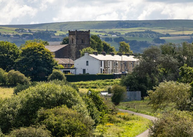
Dunnyshop is a small village located in the county of Lancashire, England. Situated in the borough of Ribble Valley, Dunnyshop is nestled in the heart of the picturesque countryside, surrounded by rolling hills and lush green fields. The village is situated approximately 5 miles north of the town of Clitheroe and is easily accessible by road.
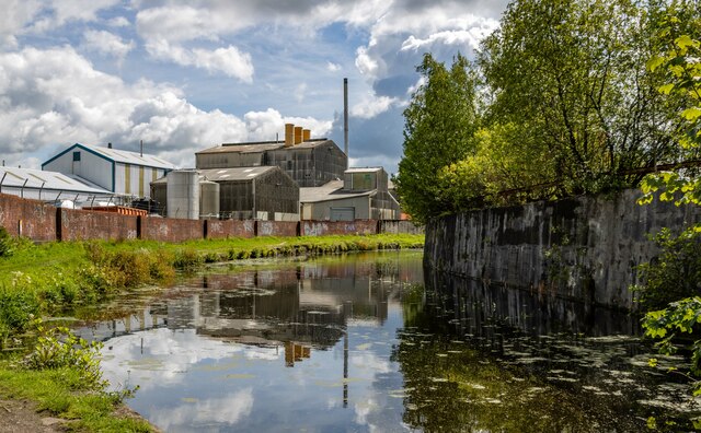
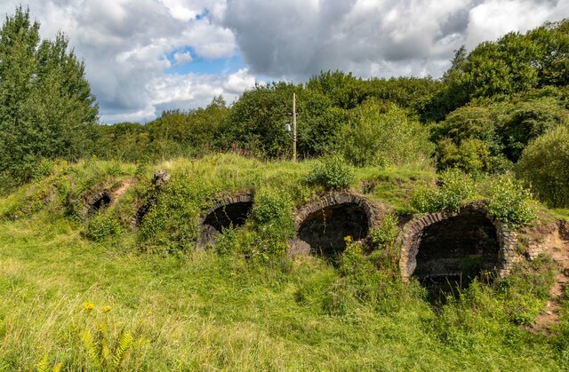
Despite its small size, Dunnyshop has a rich history that dates back several centuries. The village was originally known for its textile industry, with many traditional mills and factories dotting the landscape. However, with the decline of the industry in the 20th century, Dunnyshop has transitioned into a predominantly residential area, with a charming mix of period cottages and modern houses.
The village boasts a strong sense of community, with various local events and activities taking place throughout the year. The nearby countryside offers ample opportunities for outdoor enthusiasts, with scenic walking trails, cycling routes, and fishing spots in the surrounding area.
For amenities, residents of Dunnyshop have easy access to a range of services in the nearby towns of Clitheroe and Whalley, including shops, supermarkets, schools, and healthcare facilities. Additionally, the village is well-connected to public transportation, with regular bus services linking it to the surrounding areas.
Overall, Dunnyshop is a peaceful and idyllic village, offering a tranquil retreat for those looking to escape the hustle and bustle of city life while still enjoying the convenience of nearby amenities.
If you have any feedback on the listing, please let us know in the comments section below.
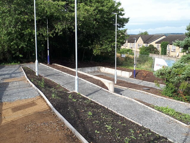
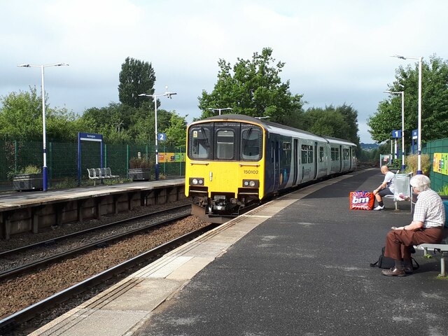
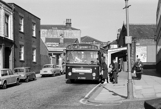
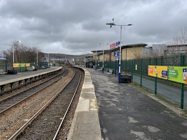
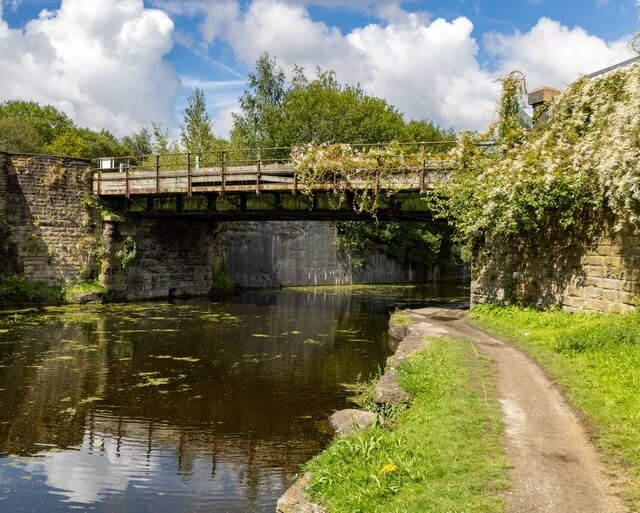
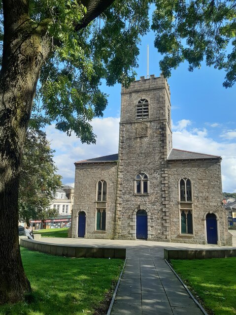
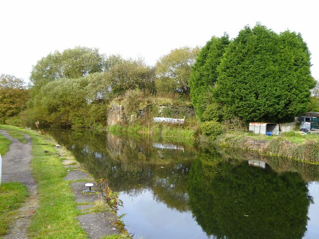
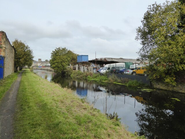
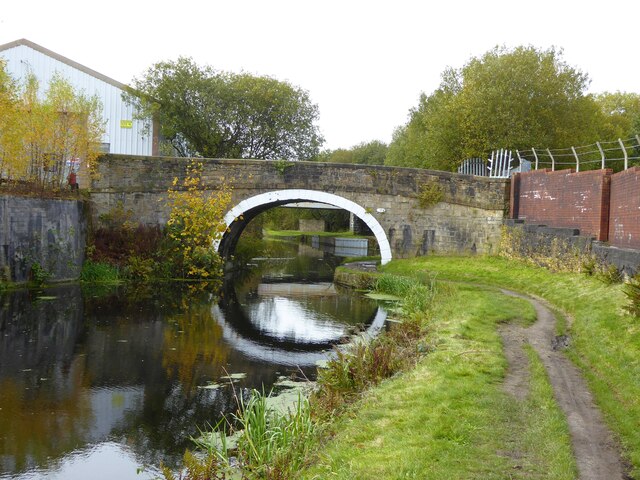
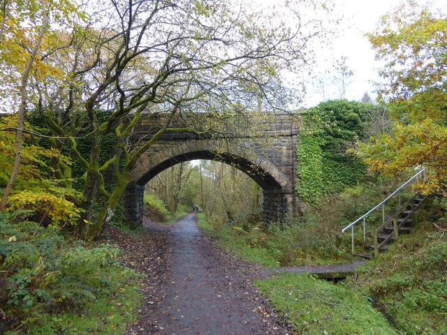
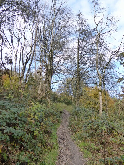
Dunnyshop Images
Images are sourced within 2km of 53.743636/-2.3822779 or Grid Reference SD7427. Thanks to Geograph Open Source API. All images are credited.
Dunnyshop is located at Grid Ref: SD7427 (Lat: 53.743636, Lng: -2.3822779)
Administrative County: Lancashire
District: Hyndburn
Police Authority: Lancashire
What 3 Words
///chairs.stardom.renewals. Near Church, Lancashire
Nearby Locations
Related Wikis

Mount Carmel Roman Catholic High School
Mount Carmel Roman Catholic High School is a coeducational Roman Catholic secondary school located in Accrington, a town located in the county of Lancashire...
Rhyddings
Rhyddings (formerly Rhyddings High School and then Rhyddings Business and Enterprise School) is a mixed secondary school located in Oswaldtwistle in the...

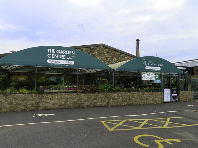
Oswaldtwistle
Oswaldtwistle ( "ozzel twizzel") is a town in the Hyndburn borough of Lancashire, England, 3 miles (5 km) southeast of Blackburn, contiguous with Accrington...

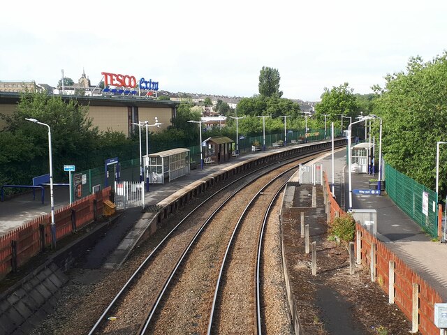
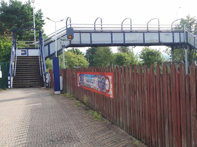
Church & Oswaldtwistle railway station
Church & Oswaldtwistle railway station serves both the village of Church and the town of Oswaldtwistle, in Lancashire, England. The station is 5+1⁄3 miles...

Globe Works, Accrington
The Globe Works is a former industrial works in Accrington, Lancashire, England, that following refurbishment contains rented offices and conference rooms...

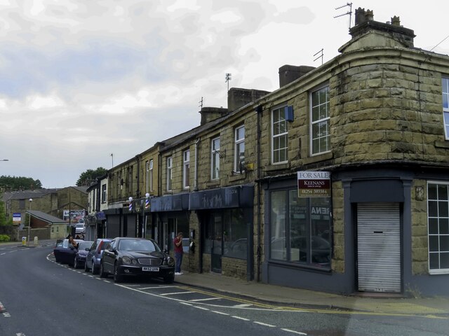
Church, Lancashire
Church is a large village in Hyndburn, Lancashire, England, situated one mile (1.6 km) west of Accrington. The village had a population of 5,186 at the...

Accrington railway station
Accrington railway station serves the town of Accrington in Lancashire, England. It is a station on the East Lancashire line 6+1⁄4 miles (10.1 km) east...

Cannon Street Baptist Church, Accrington
Cannon Street Baptist Church, Accrington is a Grade II listed former Baptist church in Accrington, Lancashire. == History == The congregation for which...
Nearby Amenities
Located within 500m of 53.743636,-2.3822779Have you been to Dunnyshop?
Leave your review of Dunnyshop below (or comments, questions and feedback).