Dunlichity
Settlement in Inverness-shire
Scotland
Dunlichity
Dunlichity is a small rural parish located in the county of Inverness-shire, Scotland. Situated approximately 10 miles south of Inverness, it covers an area of about 21 square miles. The parish is bordered by the River Nairn to the east and the Monadhliath Mountains to the south.
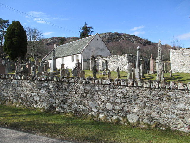
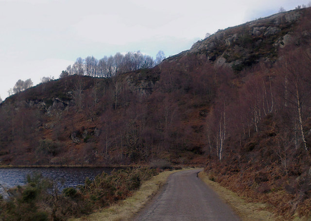
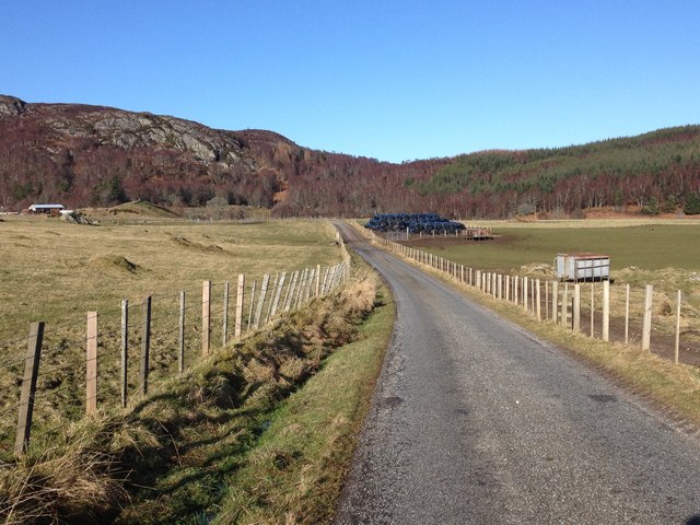
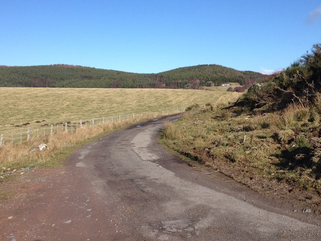
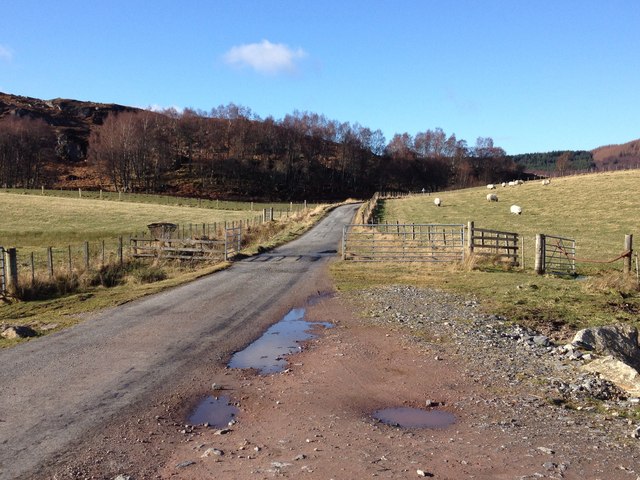
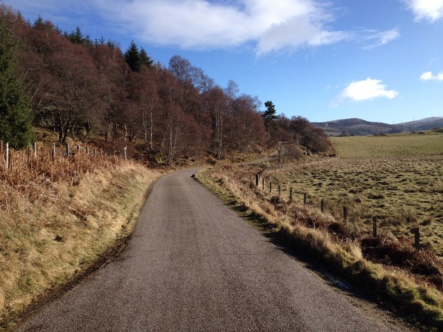
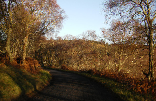
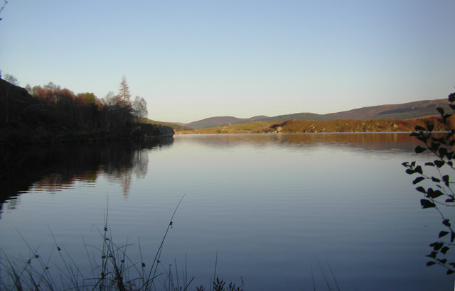
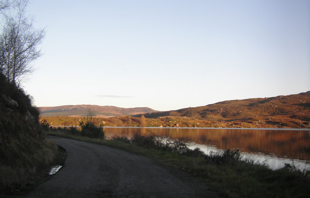
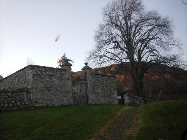
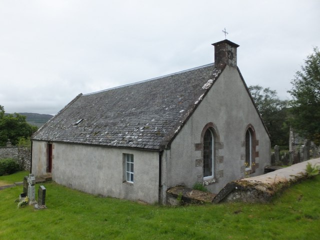
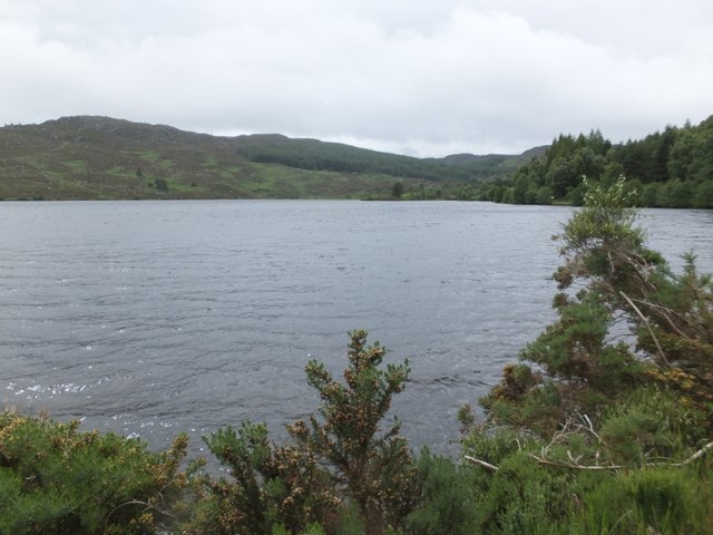
The area is known for its picturesque landscapes, with rolling hills, moorland, and forests dominating the scenery. The village of Dunlichity itself is a charming hamlet, consisting of several traditional stone cottages and a historic church. The church, dedicated to St. Mary, dates back to the 18th century and is a notable landmark in the area.
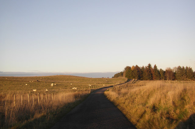
Agriculture plays a significant role in the local economy, with sheep farming being the primary agricultural activity. The fertile land and moderate climate provide favorable conditions for farming, allowing for the cultivation of crops such as barley and oats.
Dunlichity is also rich in history, with traces of ancient settlements and burial sites found in the surrounding countryside. The area has witnessed various historical events, including battles during the Jacobite uprising of 1745.
The parish offers numerous opportunities for outdoor activities, such as hiking, fishing, and wildlife spotting. The nearby Monadhliath Mountains provide ample opportunities for hillwalking and offer breathtaking views of the surrounding countryside.
Overall, Dunlichity is a tranquil and picturesque location, offering a peaceful retreat for those seeking to immerse themselves in Scotland's natural beauty and rich heritage.
If you have any feedback on the listing, please let us know in the comments section below.
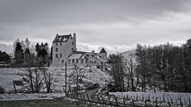
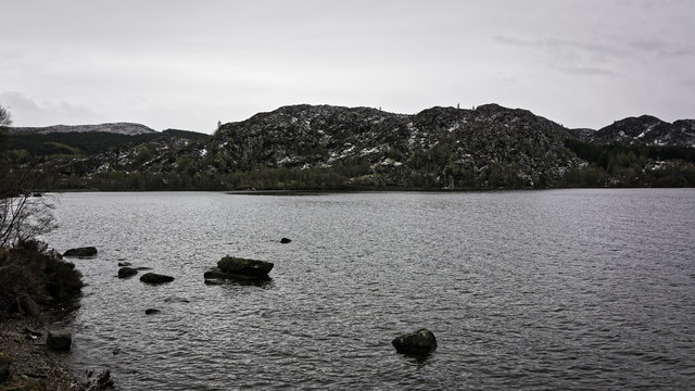
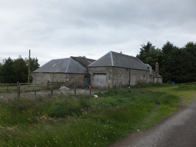
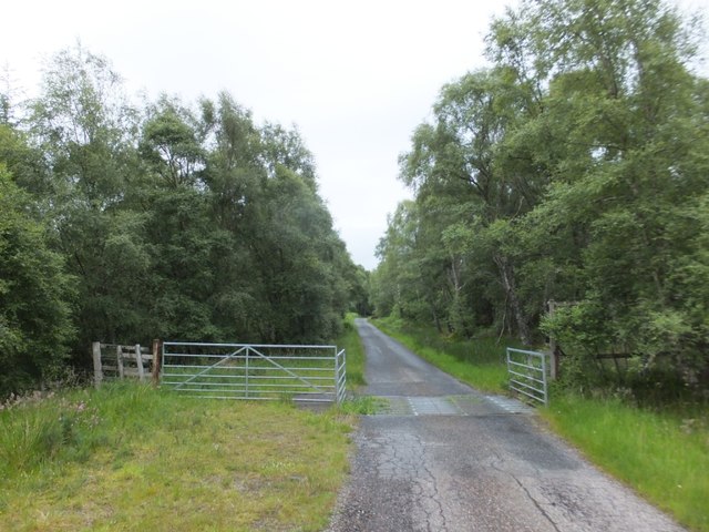
Dunlichity Images
Images are sourced within 2km of 57.367365/-4.2292535 or Grid Reference NH6632. Thanks to Geograph Open Source API. All images are credited.
Dunlichity is located at Grid Ref: NH6632 (Lat: 57.367365, Lng: -4.2292535)
Unitary Authority: Highland
Police Authority: Highlands and Islands
What 3 Words
///defenders.tiptoes.letter. Near Milton of Leys, Highland
Nearby Locations
Related Wikis

Strathnairn
Strathnairn (Gaelic: Srath Narann) is an area of the Scottish Highlands approximately 8 miles southwest of Inverness, bordering the Monadhliath Mountains...

Farr, Strathnairn
Farr (Gaelic: Fàrr) is a large area in Strathnairn, about 12 kilometres (7.5 mi) south of Inverness, in the Highland of Scotland. Much of the area is spread...
Inverernie
Inverernie (Gaelic: Inbhir Fhearna) is a small settlement, with a local shop, within Farr and the wider area of Strathnairn in the Highlands of Scotland...
Balnafoich
Balnafoich (Scottish Gaelic: Baile na Faich meaning Township of the Green Field) was once only a small croft, but is now a little settlement lying 7 miles...
Nearby Amenities
Located within 500m of 57.367365,-4.2292535Have you been to Dunlichity?
Leave your review of Dunlichity below (or comments, questions and feedback).