Coire Buidhe

Corrie (Glacial Valley) in Inverness-shire

Scotland

Coire Buidhe

Farmland near Milton Wood
Farmland near Milton Wood Credit: Jennifer Jones

The requested URL returned error: 429 Too Many Requests

If you have any feedback on the listing, please let us know in the comments section below.
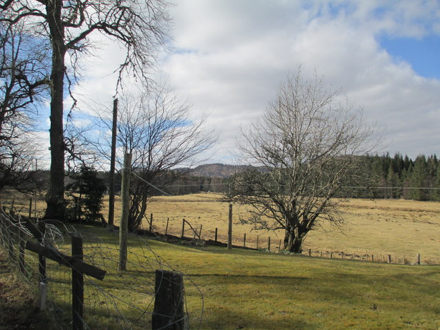
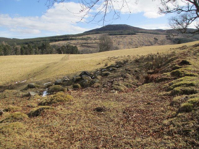
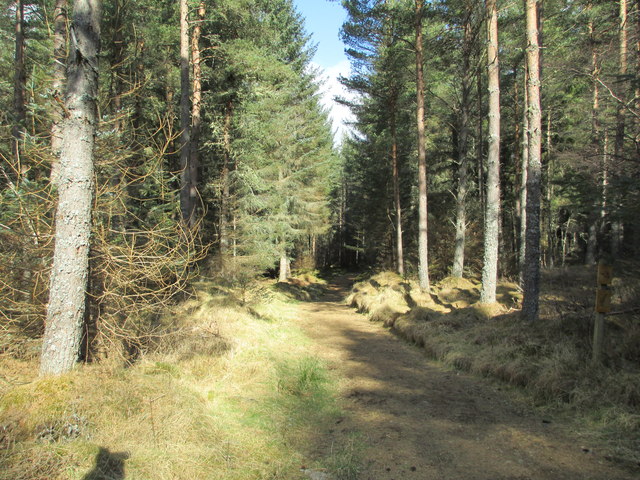
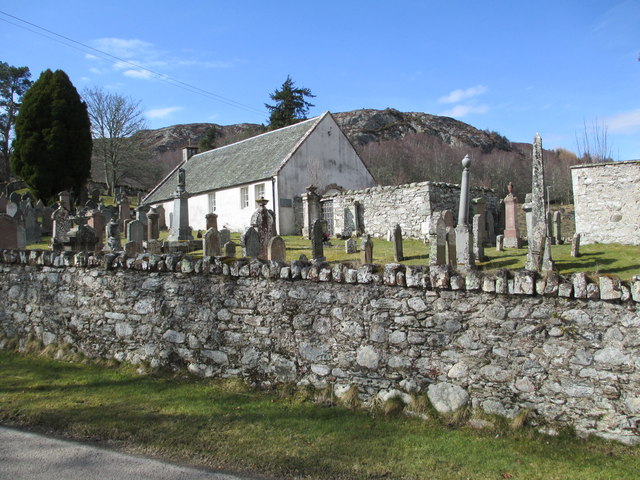
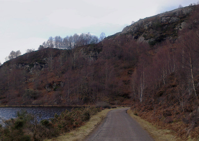
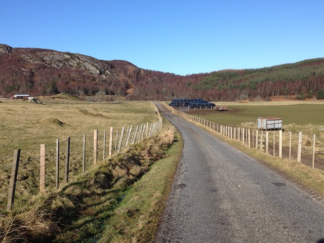
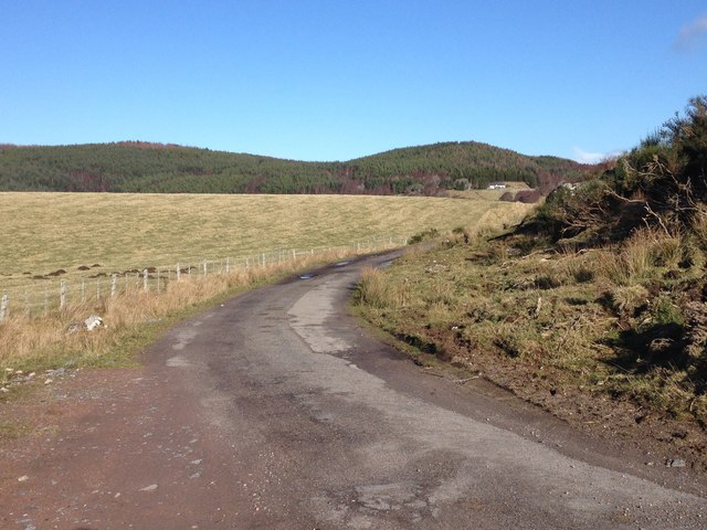
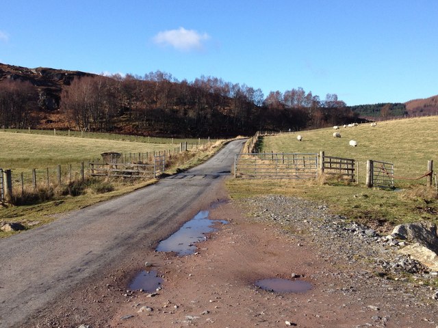
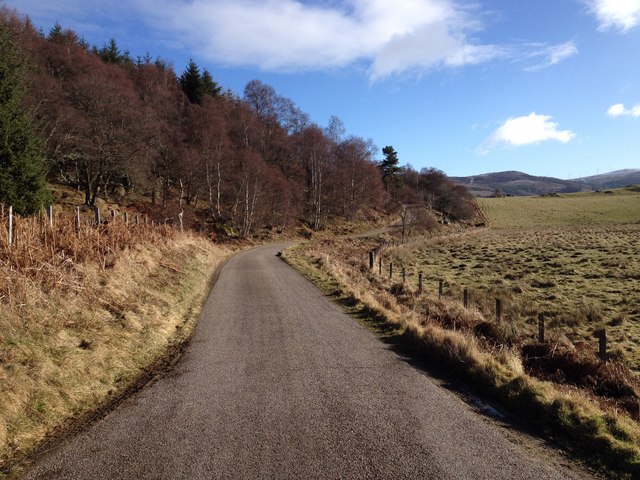
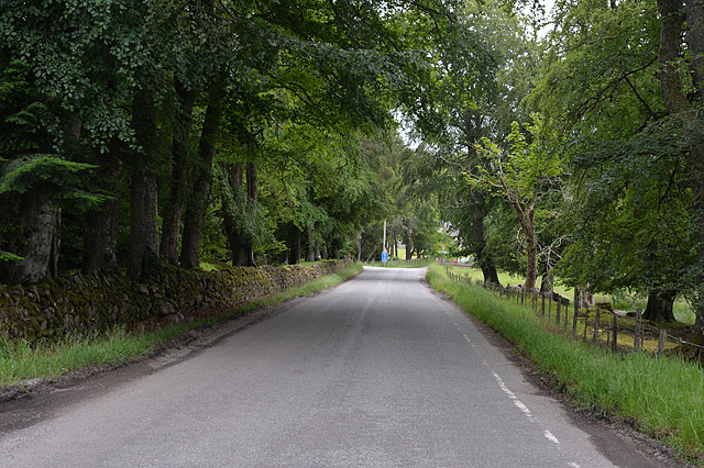
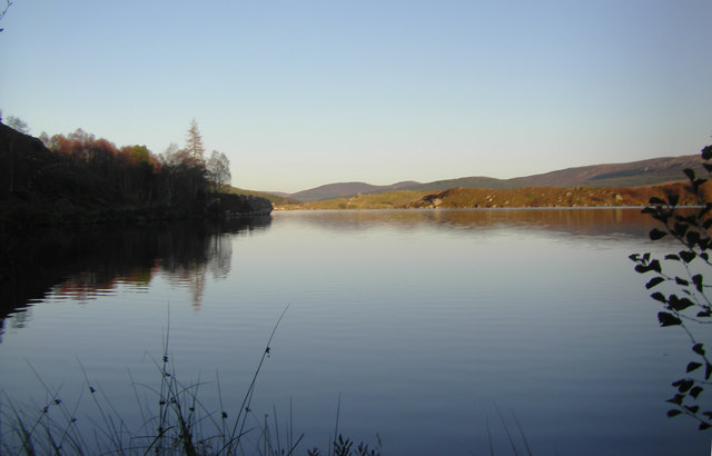
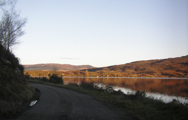
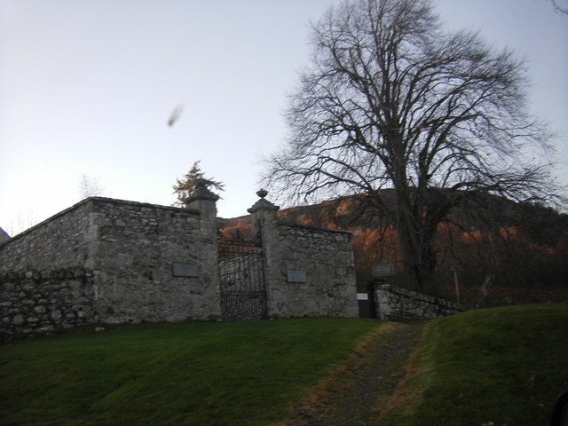
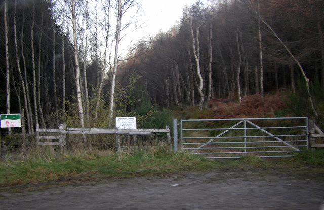
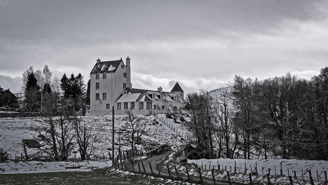
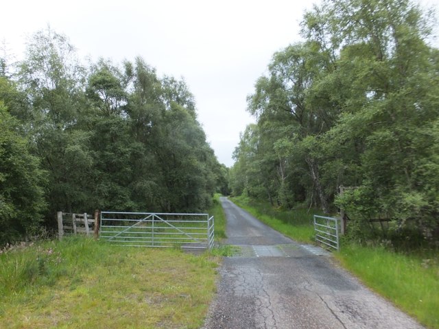
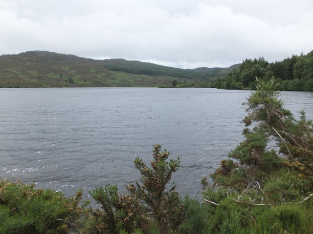
Coire Buidhe Images

Images are sourced within 2km of 57.359506/-4.2214277 or Grid Reference NH6632. Thanks to Geograph Open Source API. All images are credited.

Farmland near Milton Wood
Grazing land near Milton of Farr
Woodland walk at Woodside
Dunlichity Church
Dunlichity Church
Road beside Loch a' Chlachain
Minor road near Dunlichity
Road to Milton of Tordarroch
Minor road near Dunlichity
The B851 Approaching the junction with the Garbole mountain road. Both branches continue as single track roads; this is the last bit of double track on the B851 for a couple of miles.
The B851
Approaching the junction with the Garbole mountain road. Both branches continue as single track roads; this is the last bit of double track on the B851 for a couple of miles.
Loch a' Chlachain
Loch a' Chlachain
Road running alongside Loch a' Chlachain
Entrance to Dunlichity Burial Ground
Gated access to forest near Dunlichity
Tordarroch after late snow
Cattle grid on the road to Dunlichity
Dunlichity Church
Dunlichity Church
Loch a' Chlachain
Loch a' Chlachain
Show me another place!

Coire Buidhe is located at Grid Ref: NH6632 (Lat: 57.359506, Lng: -4.2214277)

Unitary Authority: Highland

Police Authority: Highlands and Islands

What 3 Words

///renews.identify.compacts. Near Milton of Leys, Highland

Nearby Locations

Coire Buidhe Dunlichity

Related Wikis

Strathnairn

Strathnairn (Gaelic: Srath Narann) is an area of the Scottish Highlands approximately 8 miles southwest of Inverness, bordering the Monadhliath Mountains...

Farr, Strathnairn

Farr (Gaelic: Fàrr) is a large area in Strathnairn, about 12 kilometres (7.5 mi) south of Inverness, in the Highland of Scotland. Much of the area is spread...

Inverernie

Inverernie (Gaelic: Inbhir Fhearna) is a small settlement, with a local shop, within Farr and the wider area of Strathnairn in the Highlands of Scotland...

Balnafoich

Balnafoich (Scottish Gaelic: Baile na Faich meaning Township of the Green Field) was once only a small croft, but is now a little settlement lying 7 miles...

Nearby Amenities

Located within 500m of 57.359506,-4.2214277
Barrier: cattle_grid
Source: survey
Lat/Long: 57.3622734/-4.2181713
The data included in this document is from www.openstreetmap.org. The data is made available under ODbL.

Have you been to Coire Buidhe?

Leave your review of Coire Buidhe below (or comments, questions and feedback).