Dunbury
Settlement in Dorset
England
Dunbury
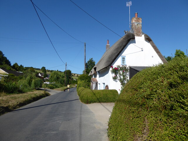
Dunbury is a picturesque village nestled in the county of Dorset, located in the southwestern part of England. With a population of approximately 1,200 residents, it is known for its charming and idyllic setting, surrounded by rolling green hills and lush countryside.
The village of Dunbury dates back to medieval times, and its history can be seen in the architecture of its buildings. The centerpiece of the village is the St. Mary's Church, a beautiful 12th-century structure that stands tall and proud. The church serves as a reminder of Dunbury's rich heritage and is a popular attraction for visitors.
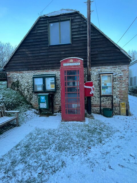
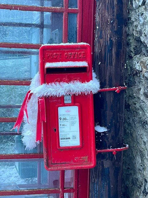
Dunbury offers a range of amenities to its residents and visitors. The village boasts a cozy pub, The Dunbury Arms, which is a hub for locals and a great place to experience the warm hospitality of the community. Additionally, there are a few local shops and a post office, providing convenience to the villagers.
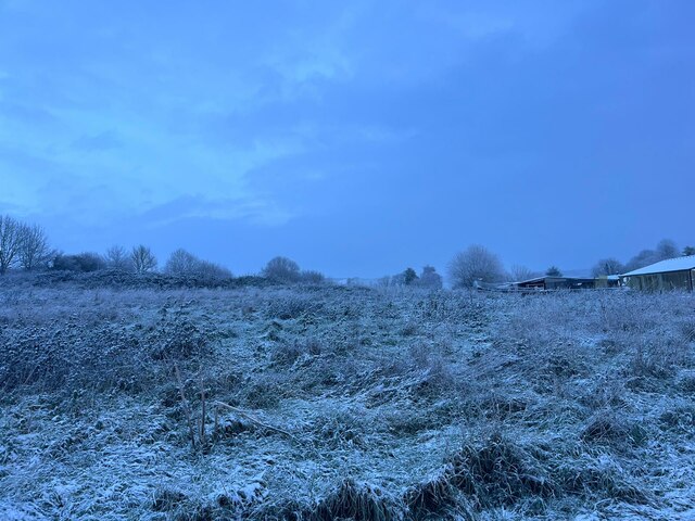
For nature enthusiasts, Dunbury is a paradise. The village is surrounded by stunning countryside, offering numerous opportunities for outdoor activities such as hiking, cycling, and horseback riding. The nearby Dunbury Hill offers panoramic views of the village and its surroundings, making it a popular spot for nature lovers and photographers.
Overall, Dunbury is a delightful village that exudes charm and tranquility. Its rich history, stunning natural beauty, and welcoming community make it an ideal destination for those seeking a peaceful retreat in the heart of Dorset.
If you have any feedback on the listing, please let us know in the comments section below.
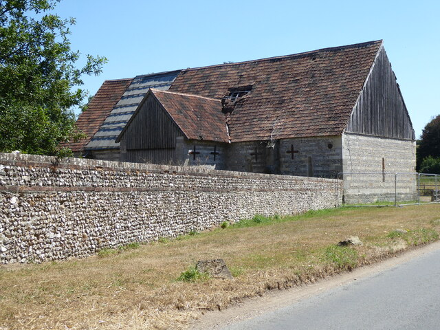
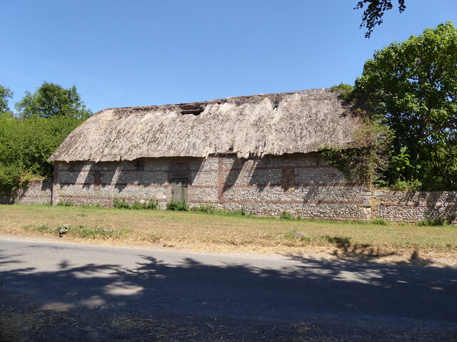
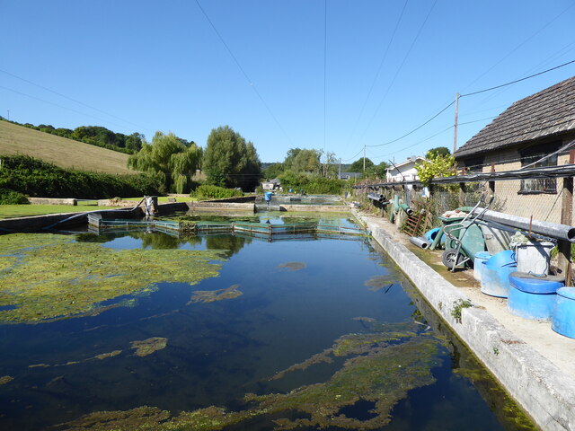
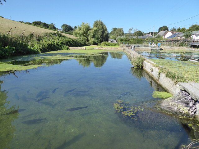
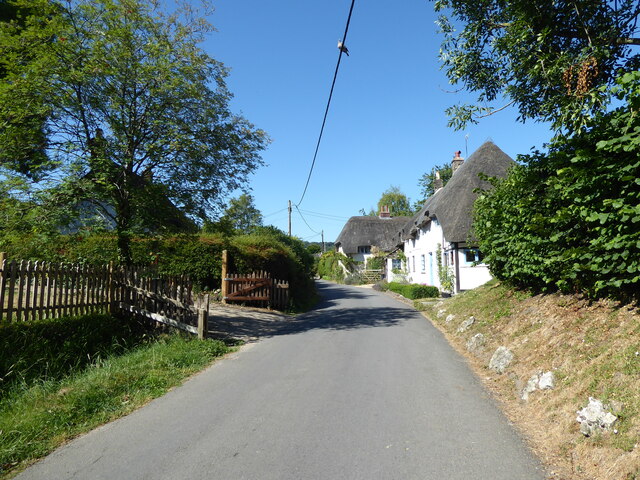
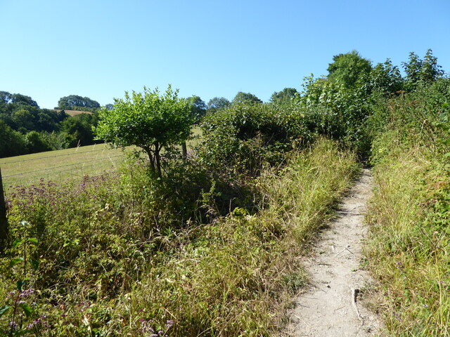
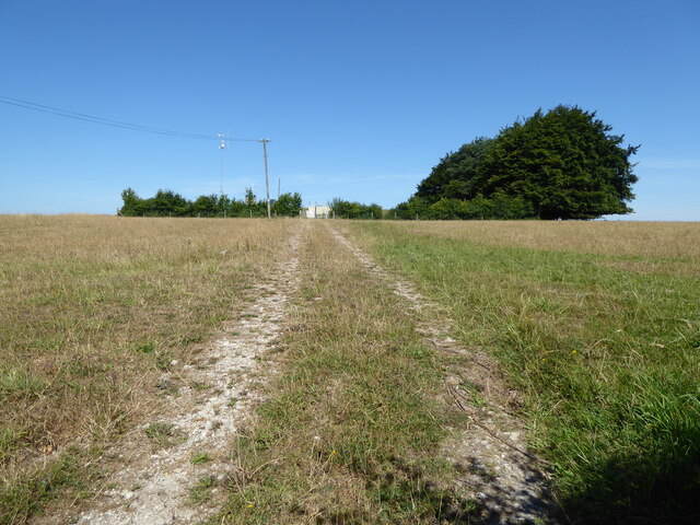
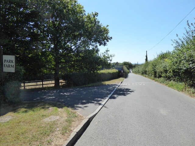
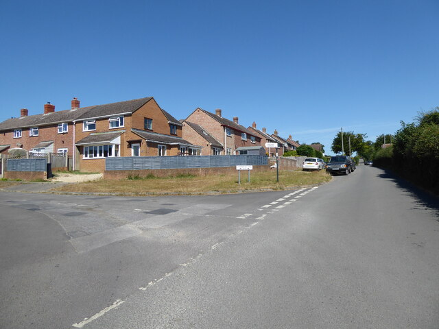
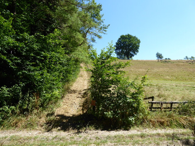
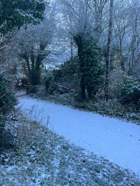
Dunbury Images
Images are sourced within 2km of 50.831792/-2.2578112 or Grid Reference ST8103. Thanks to Geograph Open Source API. All images are credited.
Dunbury is located at Grid Ref: ST8103 (Lat: 50.831792, Lng: -2.2578112)
Unitary Authority: Dorset
Police Authority: Dorset
What 3 Words
///makeup.segregate.bitters. Near Milborne St Andrew, Dorset
Nearby Locations
Related Wikis

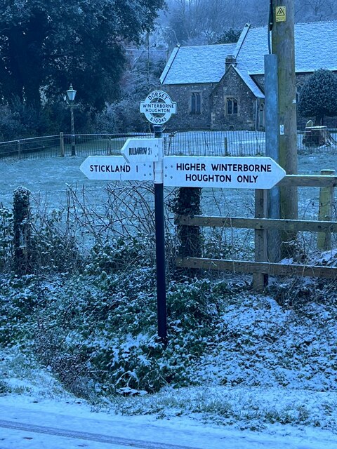
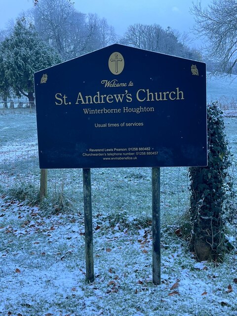
Winterborne Houghton
Winterborne Houghton is a village and civil parish in north Dorset, England. It is situated in a winterbourne valley on the Dorset Downs, five miles (eight...

Winterborne Stickland
Winterborne Stickland is a village and civil parish in the county of Dorset in southern England. It lies about four miles (six kilometres) west of the...

Winterborne Clenston
Winterborne Clenston is a small village and civil parish in Dorset, England, around 3+1⁄2 miles (5.5 kilometres) southwest of Blandford Forum. In 2013...

Milton Abbas
Milton Abbas is a village and civil parish in Dorset, England, lying around 5 miles (8 kilometres) southwest of Blandford Forum. In the 2011 Census the...
Nearby Amenities
Located within 500m of 50.831792,-2.2578112Have you been to Dunbury?
Leave your review of Dunbury below (or comments, questions and feedback).