Dukesfield
Settlement in Cheshire
England
Dukesfield
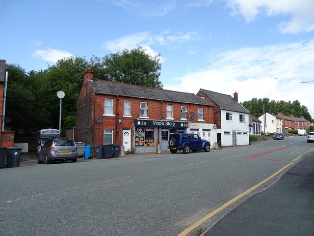
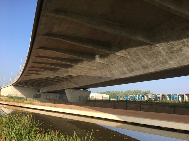
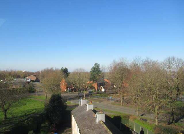
Dukesfield is a small village located in the county of Cheshire, England. Situated in the picturesque countryside, Dukesfield is known for its charming rural setting and historic architecture. The village is home to a mix of traditional stone cottages, historic buildings, and modern homes, creating a unique blend of old and new.
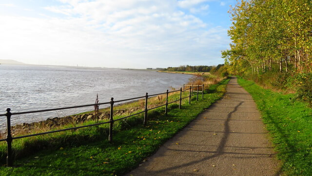
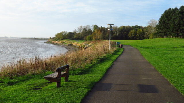
Dukesfield is surrounded by rolling hills and lush green fields, making it a popular destination for those seeking a peaceful retreat from the hustle and bustle of city life. The village is also close to several walking and cycling routes, providing ample opportunities for outdoor recreation.
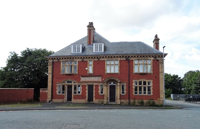
In terms of amenities, Dukesfield has a small number of shops, pubs, and restaurants, offering residents and visitors a taste of local cuisine and culture. The village is well-connected to nearby towns and cities, making it easy to access larger shopping centers, entertainment venues, and transportation hubs.
Overall, Dukesfield is a quaint and charming village that offers a tranquil setting and a strong sense of community, making it a desirable place to live or visit in Cheshire.
If you have any feedback on the listing, please let us know in the comments section below.
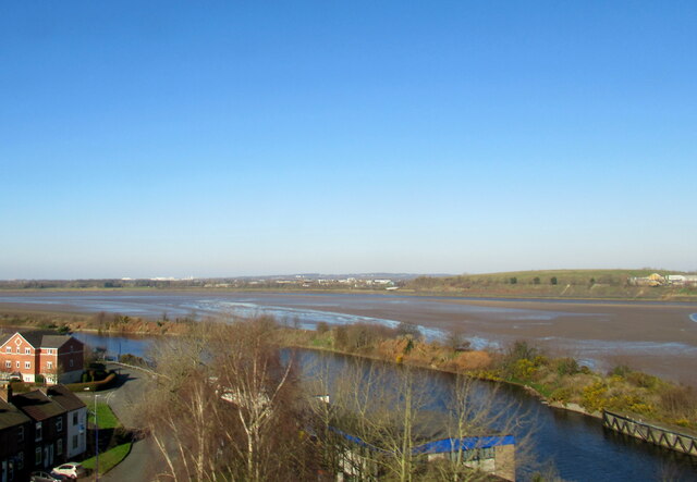
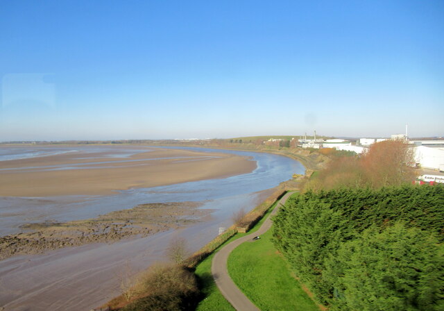
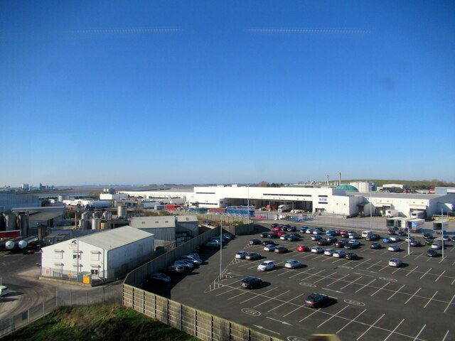
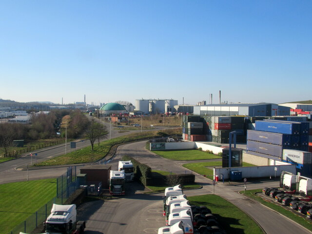
Dukesfield Images
Images are sourced within 2km of 53.341436/-2.7405302 or Grid Reference SJ5082. Thanks to Geograph Open Source API. All images are credited.


Dukesfield is located at Grid Ref: SJ5082 (Lat: 53.341436, Lng: -2.7405302)
Unitary Authority: Halton
Police Authority: Cheshire
What 3 Words
///curiosity.school.wonderfully. Near Runcorn, Cheshire
Nearby Locations
Related Wikis
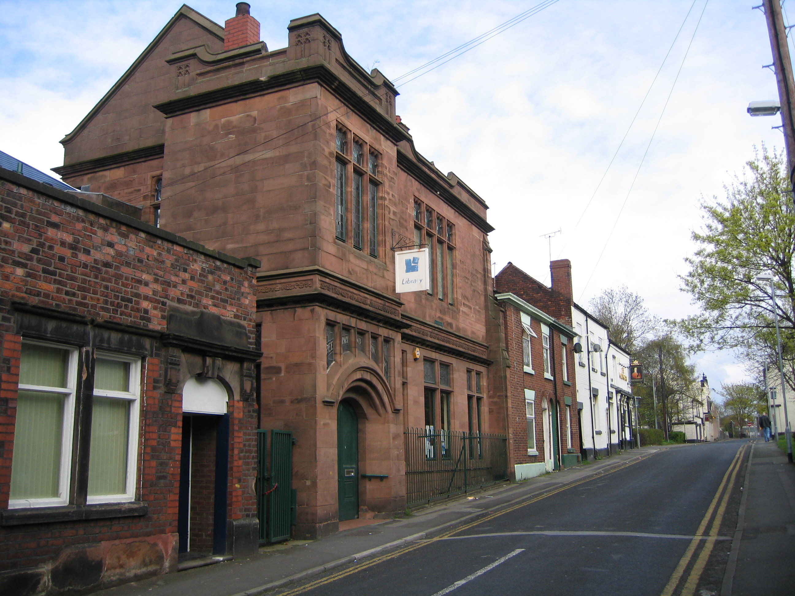
Carnegie Library, Runcorn
The Carnegie Library is in Egerton Street, Runcorn, Cheshire, England. It is recorded in the National Heritage List for England as a designated Grade...
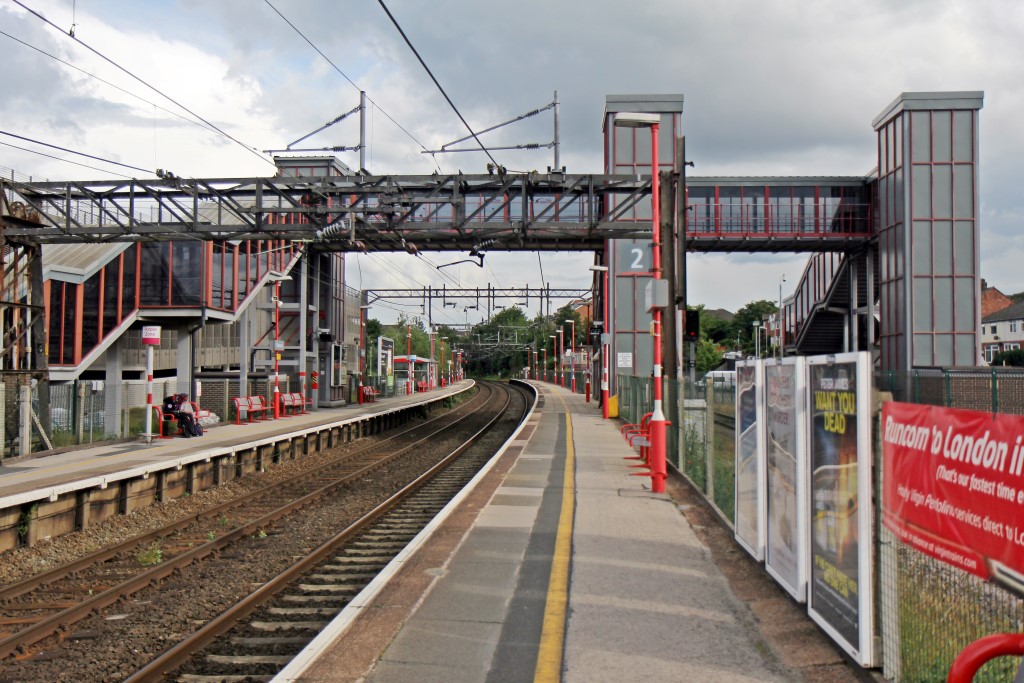
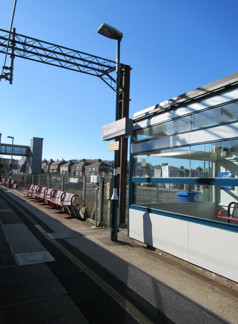
Runcorn railway station
Runcorn railway station is in the industrial town of Runcorn in Cheshire, north-west England. The station lies on the Liverpool branch of the West Coast...

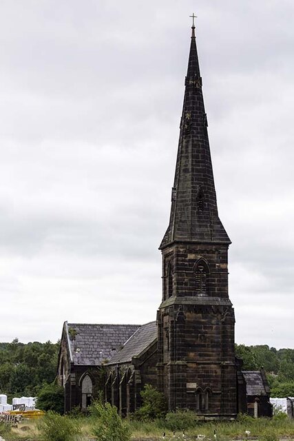
All Saints' Church, Runcorn
All Saints' Church is the parish church of Runcorn, Cheshire, England, sited on the south bank of the River Mersey overlooking Runcorn Gap. There is a...

Bridgewater House, Runcorn
Bridgewater House is in the Old Coach Road, Runcorn, Cheshire, England. It is recorded in the National Heritage List for England as a designated Grade...
Related Videos

Runcorn- A beautiful town at the west coast of England near Liverpool,Cheshire #ytshorts #whenever
Runcorn is a beautiful, scenic town in the county of Cheshire and is very near to Liverpool City (about ten to fifteen minutes via ...
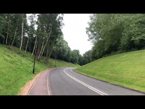
Walking tour at a very peaceful place in Runcorn, UK
walking #walk #runcorn #uk #peaceful.

Runcorn
A Walk In Runcorn Including The Silver Jubilee Bridge.

Nearby Amenities
Located within 500m of 53.341436,-2.7405302Have you been to Dukesfield?
Leave your review of Dukesfield below (or comments, questions and feedback).