Duke's Meadow

Settlement in Brecknockshire

Wales

Duke's Meadow

Llwybr i Barc Bryn Bach / Path to Bryn Bach Park Llwybr yn mynd i gyfeiriad Parc Bryn Bach.

Path heading towards Bryn Bach Park (trans. little hill).
Llwybr i Barc Bryn Bach / Path to Bryn Bach Park Credit: Alan Richards

The requested URL returned error: 429 Too Many Requests

If you have any feedback on the listing, please let us know in the comments section below.

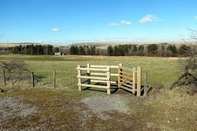
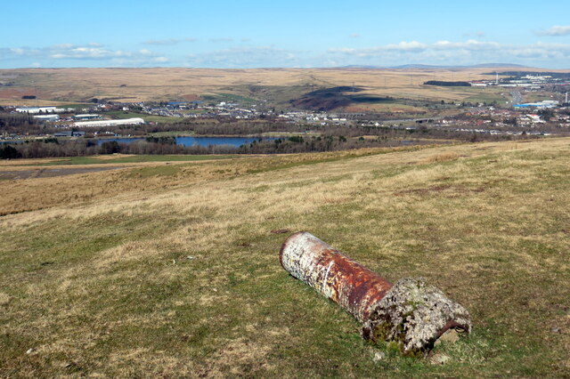
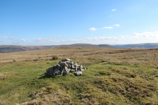
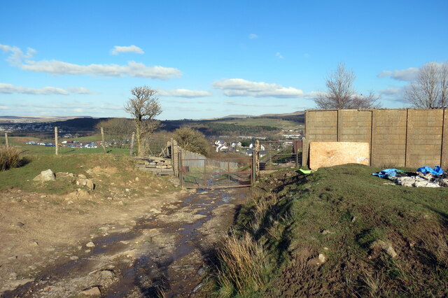
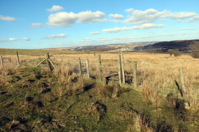
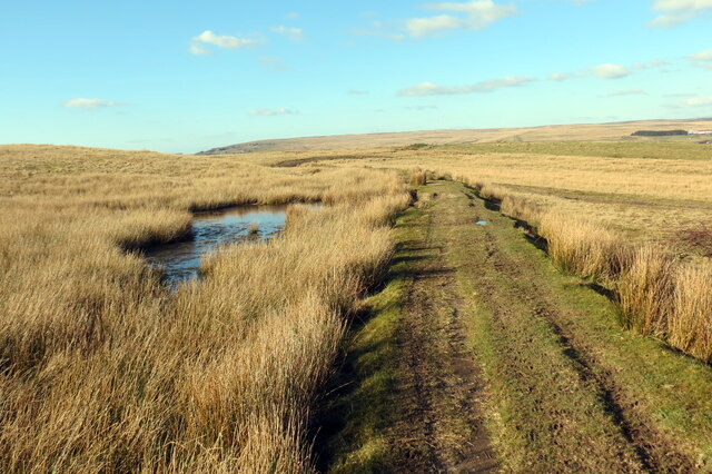
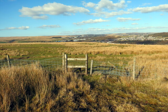
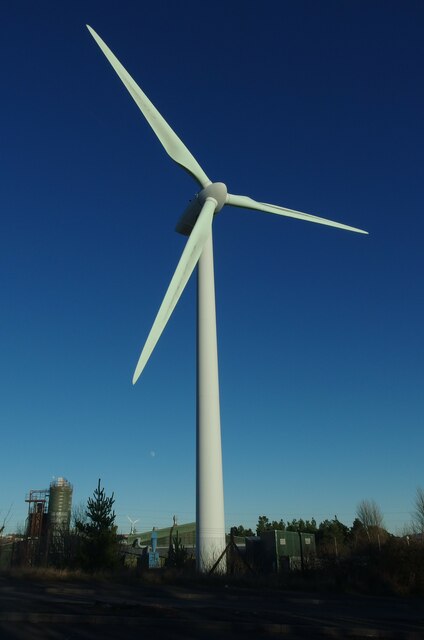
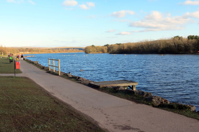
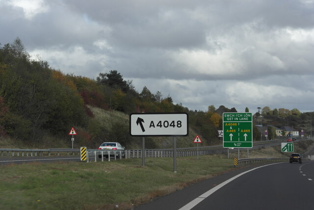
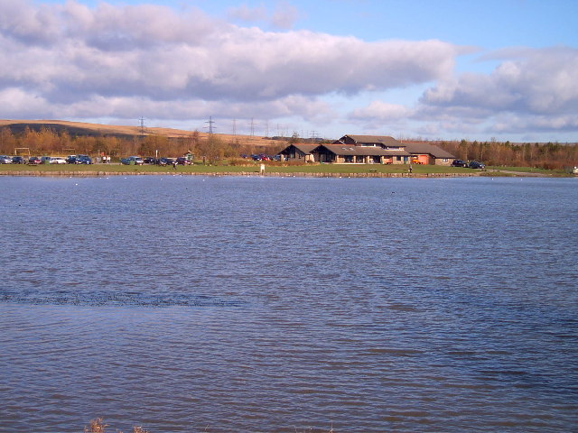
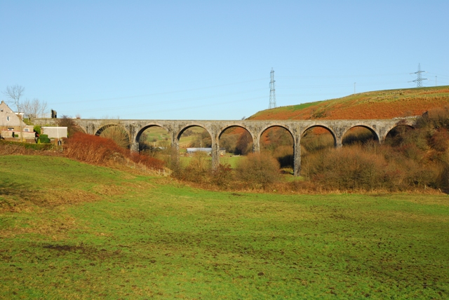
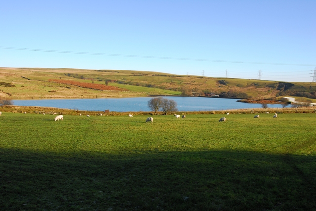
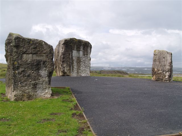
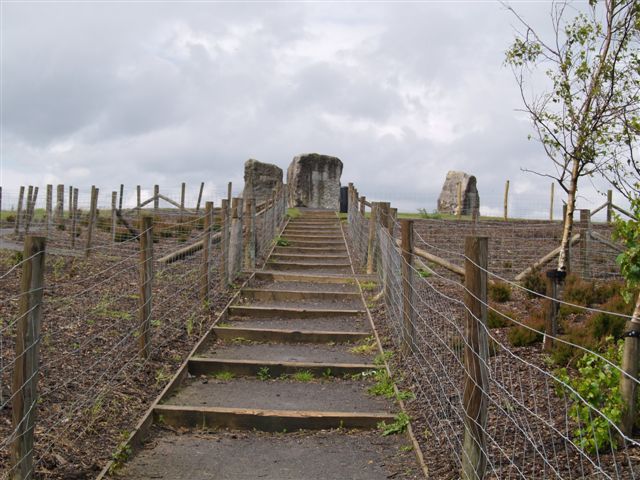
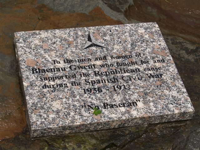
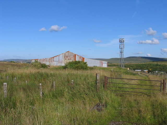
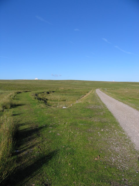
Duke's Meadow Images

Images are sourced within 2km of 51.787698/-3.2544261 or Grid Reference SO1310. Thanks to Geograph Open Source API. All images are credited.

Llwybr i Barc Bryn Bach / Path to Bryn Bach Park Llwybr yn mynd i gyfeiriad Parc Bryn Bach.

Path heading towards Bryn Bach Park (trans. little hill).
Llwybr i Barc Bryn Bach / Path to Bryn Bach Park
Llwybr yn mynd i gyfeiriad Parc Bryn Bach. Path heading towards Bryn Bach Park (trans. little hill).
Ar lethrau Bryn Rhymni / On the slopes of Rhymney Hill Piler arolwg ar lawr ar lethrau Bryn Rhymni. Yn y pellter mae Llyn Bryn Bach.

A recumbent survey pillar on the slopes of Rhymney Hill. Visible in the distance is Bryn Bach Lake (trans. little hill).
Ar lethrau Bryn Rhymni / On the slopes of Rhymney Hill
Piler arolwg ar lawr ar lethrau Bryn Rhymni. Yn y pellter mae Llyn Bryn Bach. A recumbent survey pillar on the slopes of Rhymney Hill. Visible in the distance is Bryn Bach Lake (trans. little hill).
Carn ar Fryn Rhymni / A cairn on Rhymney Hill Domen o gerrig, nod terfyn posibl, ar Fryn Rhymni ger ei gopa. Yn y pellter mae Mynydd Bedwellte.

A pile of stones, possibly a boundary marker, on Rhymney Hill near its summit. Mynydd Bedwellte (trans. mountain of Mellte's abode) can be seen in the distance.
Carn ar Fryn Rhymni / A cairn on Rhymney Hill
Domen o gerrig, nod terfyn posibl, ar Fryn Rhymni ger ei gopa. Yn y pellter mae Mynydd Bedwellte. A pile of stones, possibly a boundary marker, on Rhymney Hill near its summit. Mynydd Bedwellte (trans. mountain of Mellte's abode) can be seen in the distance.
Trac lawr i Ystad Cefn Golau / Track down to Cefn Golau Estate Trac o'r mynydd yn mynd i lawr y waered i gyfeiriad Ystad Gefn Golud.

A track from the mountain descending towards Cefn Golau Estate (trans. light ridge).
Trac lawr i Ystad Cefn Golau / Track down to Cefn Golau Estate
Trac o'r mynydd yn mynd i lawr y waered i gyfeiriad Ystad Gefn Golud. A track from the mountain descending towards Cefn Golau Estate (trans. light ridge).
Llwybr ar lethrau Bryn Rhymni /  Path on the slopes of Rhymney Hill Sticil ar lethrau Bryn Rhymni.

A stile on the slopes of Rhymney Hill.
Llwybr ar lethrau Bryn Rhymni / Path on the slopes of Rhymney Hill
Sticil ar lethrau Bryn Rhymni. A stile on the slopes of Rhymney Hill.
Trac ar lethrau Bryn Rhymni / Track on the slopes of Rhymney Hill Trac ar lethrau Bryn Rhymni yn mynd i gyfeiriad lleoliad o'r enw Tredegar Patch.

A track on the slopes of Rhymney Hill heading towards a location known as Tredegar Patch.
Trac ar lethrau Bryn Rhymni / Track on the slopes of Rhymney Hill
Trac ar lethrau Bryn Rhymni yn mynd i gyfeiriad lleoliad o'r enw Tredegar Patch. A track on the slopes of Rhymney Hill heading towards a location known as Tredegar Patch.
Llwybr i Barc Bryn Bach / Path to Bryn Bach Park Llwybr yn mynd i gyfeiriad Parc Bryn Bach.

A path heading in the direction of Bryn Bach Park (trans. little hill).
Llwybr i Barc Bryn Bach / Path to Bryn Bach Park
Llwybr yn mynd i gyfeiriad Parc Bryn Bach. A path heading in the direction of Bryn Bach Park (trans. little hill).
Wind Turbine at Rassau Industrial Estate This was the first full scale wind turbine to be erected in Blaenau Gwent round about 2012.
It sits beside the Alan Davies Way in the grounds of BMI Redlands Rassau Plant.
Many more wind turbines have been erected since then in the County including another one on the same industrial estate. Look carefully and you can see it and the moon too.
Wind Turbine at Rassau Industrial Estate
This was the first full scale wind turbine to be erected in Blaenau Gwent round about 2012. It sits beside the Alan Davies Way in the grounds of BMI Redlands Rassau Plant. Many more wind turbines have been erected since then in the County including another one on the same industrial estate. Look carefully and you can see it and the moon too.
Parc Bryn Bach / Bryn Bach Park Llwybr glanllyn ym Mharc Bryn Bach.

Lakeside path at Bryn Bach Park (trans. little hill).
Parc Bryn Bach / Bryn Bach Park
Llwybr glanllyn ym Mharc Bryn Bach. Lakeside path at Bryn Bach Park (trans. little hill).
A4048 Slip Road onto Nantybwch Roundabout A465>A4048 Slip road leading onto the Nantybwch roundabout, in Tredegar.
A4048 Slip Road onto Nantybwch Roundabout
A465>A4048 Slip road leading onto the Nantybwch roundabout, in Tredegar.
Bryn Bach Park lake and visitor centre Bryn Bach park lake is a flooded open cast mine near Tredegar now used as a country park with model boat racing, fishing wind surfing and a campsite
Bryn Bach Park lake and visitor centre
Bryn Bach park lake is a flooded open cast mine near Tredegar now used as a country park with model boat racing, fishing wind surfing and a campsite
Viaduct near Nant-y-bwch, Tredegar Disused railway viaduct
Viaduct near Nant-y-bwch, Tredegar
Disused railway viaduct
Reservoir near Trefil Shon-Sheffrey's reservoir near Trefil
Reservoir near Trefil
Shon-Sheffrey's reservoir near Trefil
Memorial to Aneurin Bevan
Memorial to Aneurin Bevan founder of the NHS
Memorial to Aneurin Bevan
founder of the NHS
Monument at Waun y Pound
Mobile phone mast & former railway This (ubiquitous) mobile phone mast sits along side the former rail line that carried limestone from Cwar y Hendre to the iron and steel works at Ebbw Vale. Timber sleepers and some of the original stone sleepers can be seen along this bridleway.
Mobile phone mast & former railway
This (ubiquitous) mobile phone mast sits along side the former rail line that carried limestone from Cwar y Hendre to the iron and steel works at Ebbw Vale. Timber sleepers and some of the original stone sleepers can be seen along this bridleway.
Old and older rail embankments The raised ground on the left is the original embankment (late 19th century?) for the old rail line that ran from Cwar yr Hendre to Ebbw Vale Iron and Steelworks. The track on the right is a more modern (dismantled in the 1970's?) embankment. The original line followed the contour of the hill, whereas the later route took a more direct route using much larger embankments. This feature is not featured on the 1:50000 OS map but is on the 1:25000 OS map.
Old and older rail embankments
The raised ground on the left is the original embankment (late 19th century?) for the old rail line that ran from Cwar yr Hendre to Ebbw Vale Iron and Steelworks. The track on the right is a more modern (dismantled in the 1970's?) embankment. The original line followed the contour of the hill, whereas the later route took a more direct route using much larger embankments. This feature is not featured on the 1:50000 OS map but is on the 1:25000 OS map.
Show me another place!

Duke's Meadow is located at Grid Ref: SO1310 (Lat: 51.787698, Lng: -3.2544261)

Unitary Authority: Blaenau Gwent

Police Authority: Gwent

What 3 Words

///trombone.shadow.ranch. Near Tredegar, Blaenau Gwent

Related Wikis

Nantybwch railway station

Nantybwch railway station was a station on the London and North Western Railway's Heads of the Valleys line serving the village of Nantybwch in the Welsh...

Sirhowy

Sirhowy (Welsh: Sirhywi) is a village in the Sirhowy Valley (Welsh: Glyn Sirhywi) and the county of Blaenau Gwent. It is located 0.83 miles (1.34 km) north...

Ashvale, Blaenau Gwent

Ashvale (Welsh: Pantygerdinen) is a village in Blaenau Gwent, south Wales (within the historic boundaries of Monmouthshire).

Sirhowy railway station

Sirhowy railway station was a station on the Sirhowy Railway. It served Sirhowy near the town of Tredegar. == History == The station was opened on 19 June...

Nearby Amenities

Located within 500m of 51.787698,-3.2544261
Traffic Signals
Traffic Signals: signal
Lat/Long: 51.7876421/-3.2604712
Give Way
Source: bing
Lat/Long: 51.7856101/-3.2503337
Turning Circle
Lat/Long: 51.7864013/-3.2480454
Traffic Signals
Traffic Signals: signal
Lat/Long: 51.7877401/-3.2604323
Crossing
Button Operated: yes
Crossing: traffic_signals
Crossing Island: no
Crossing Markings: dots
Crossing Ref: toucan
Tactile Paving: yes
Lat/Long: 51.7883525/-3.2612208
Traffic Signals
Traffic Signals: signal
Lat/Long: 51.7883082/-3.2610981
Crossing
Button Operated: yes
Crossing: traffic_signals
Crossing Island: no
Crossing Markings: dots
Crossing Ref: toucan
Tactile Paving: yes
Lat/Long: 51.7878376/-3.2610335
Motorway Junction
Tredegar
Destination: Tredegar A4048
Lat/Long: 51.7887331/-3.2559453
Direction: SSE
Generator Method: photovoltaic
Generator Output Electricity: yes
Generator Solar Modules: 16
Generator Source: solar
Generator Type: solar_photovoltaic_panel
Location: roof
Power: generator
Lat/Long: 51.7844193/-3.2510686
Direction: SSW
Generator Method: photovoltaic
Generator Output Electricity: yes
Generator Solar Modules: 16
Generator Source: solar
Generator Type: solar_photovoltaic_panel
Location: roof
Power: generator
Lat/Long: 51.7859253/-3.2495162
Direction: 195
Generator Method: photovoltaic
Generator Output Electricity: yes
Generator Solar Modules: 12
Generator Source: solar
Generator Type: solar_photovoltaic_panel
Location: roof
Power: generator
Lat/Long: 51.7862987/-3.2490348
Direction: 165
Generator Method: photovoltaic
Generator Output Electricity: yes
Generator Solar Modules: 16
Generator Source: solar
Generator Type: solar_photovoltaic_panel
Location: roof
Power: generator
Lat/Long: 51.7869631/-3.2489852
Direction: 125
Generator Method: photovoltaic
Generator Output Electricity: yes
Generator Solar Modules: 11
Generator Source: solar
Generator Type: solar_photovoltaic_panel
Location: roof
Power: generator
Lat/Long: 51.78693/-3.2502948
Direction: SE
Generator Method: photovoltaic
Generator Output Electricity: yes
Generator Solar Modules: 11
Generator Source: solar
Generator Type: solar_photovoltaic_panel
Location: roof
Power: generator
Lat/Long: 51.788249/-3.2492493
Direction: W
Generator Method: photovoltaic
Generator Output Electricity: yes
Generator Solar Modules: 4
Generator Source: solar
Generator Type: solar_photovoltaic_panel
Location: roof
Power: generator
Lat/Long: 51.7867238/-3.2568052
Direction: W
Generator Method: photovoltaic
Generator Output Electricity: yes
Generator Solar Modules: 4
Generator Source: solar
Generator Type: solar_photovoltaic_panel
Location: roof
Power: generator
Lat/Long: 51.7866491/-3.2568187
Direction: W
Generator Method: photovoltaic
Generator Output Electricity: yes
Generator Solar Modules: 4
Generator Source: solar
Generator Type: solar_photovoltaic_panel
Location: roof
Power: generator
Lat/Long: 51.786591/-3.2568079
Direction: W
Generator Method: photovoltaic
Generator Output Electricity: yes
Generator Solar Modules: 4
Generator Source: solar
Generator Type: solar_photovoltaic_panel
Location: roof
Power: generator
Lat/Long: 51.786513/-3.2568267
Direction: S
Generator Method: photovoltaic
Generator Output Electricity: yes
Generator Solar Modules: 4
Generator Source: solar
Generator Type: solar_photovoltaic_panel
Location: roof
Power: generator
Lat/Long: 51.7865329/-3.256647
Direction: S
Generator Method: photovoltaic
Generator Output Electricity: yes
Generator Solar Modules: 4
Generator Source: solar
Generator Type: solar_photovoltaic_panel
Location: roof
Power: generator
Lat/Long: 51.7865412/-3.2565156
Direction: S
Generator Method: photovoltaic
Generator Output Electricity: yes
Generator Solar Modules: 4
Generator Source: solar
Generator Type: solar_photovoltaic_panel
Location: roof
Power: generator
Lat/Long: 51.7865363/-3.2564217
Direction: W
Generator Method: photovoltaic
Generator Output Electricity: yes
Generator Solar Modules: 2
Generator Source: solar
Generator Type: solar_photovoltaic_panel
Location: roof
Power: generator
Lat/Long: 51.7866345/-3.256307
Direction: W
Generator Method: photovoltaic
Generator Output Electricity: yes
Generator Solar Modules: 4
Generator Source: solar
Generator Type: solar_photovoltaic_panel
Location: roof
Power: generator
Lat/Long: 51.7866894/-3.2563057
Direction: W
Generator Method: photovoltaic
Generator Output Electricity: yes
Generator Solar Modules: 4
Generator Source: solar
Generator Type: solar_photovoltaic_panel
Location: roof
Power: generator
Lat/Long: 51.7867387/-3.2562903
Direction: W
Generator Method: photovoltaic
Generator Output Electricity: yes
Generator Solar Modules: 4
Generator Source: solar
Generator Type: solar_photovoltaic_panel
Location: roof
Power: generator
Lat/Long: 51.7867984/-3.2562903
Direction: W
Generator Method: photovoltaic
Generator Output Electricity: yes
Generator Solar Modules: 4
Generator Source: solar
Generator Type: solar_photovoltaic_panel
Location: roof
Power: generator
Lat/Long: 51.7868548/-3.2562956
Direction: W
Generator Method: photovoltaic
Generator Output Electricity: yes
Generator Solar Modules: 4
Generator Source: solar
Generator Type: solar_photovoltaic_panel
Location: roof
Power: generator
Lat/Long: 51.7868963/-3.2562903
Direction: W
Generator Method: photovoltaic
Generator Output Electricity: yes
Generator Solar Modules: 4
Generator Source: solar
Generator Type: solar_photovoltaic_panel
Location: roof
Power: generator
Lat/Long: 51.7869677/-3.2563198
Direction: W
Generator Method: photovoltaic
Generator Output Electricity: yes
Generator Solar Modules: 4
Generator Source: solar
Generator Type: solar_photovoltaic_panel
Location: roof
Power: generator
Lat/Long: 51.7870506/-3.2563117
Direction: W
Generator Method: photovoltaic
Generator Output Electricity: yes
Generator Solar Modules: 2
Generator Source: solar
Generator Type: solar_photovoltaic_panel
Location: roof
Power: generator
Lat/Long: 51.7869328/-3.2568723
Direction: W
Generator Method: photovoltaic
Generator Output Electricity: yes
Generator Solar Modules: 4
Generator Source: solar
Generator Type: solar_photovoltaic_panel
Location: roof
Power: generator
Lat/Long: 51.7870191/-3.2568964
Direction: W
Generator Method: photovoltaic
Generator Output Electricity: yes
Generator Solar Modules: 4
Generator Source: solar
Generator Type: solar_photovoltaic_panel
Location: roof
Power: generator
Lat/Long: 51.7871103/-3.2568884
Direction: WSW
Generator Method: photovoltaic
Generator Output Electricity: yes
Generator Solar Modules: 12
Generator Source: solar
Generator Type: solar_photovoltaic_panel
Location: roof
Power: generator
Lat/Long: 51.7871311/-3.2580539
Direction: 105
Generator Method: photovoltaic
Generator Output Electricity: yes
Generator Solar Modules: 10
Generator Source: solar
Generator Type: solar_photovoltaic_panel
Location: roof
Power: generator
Lat/Long: 51.7846539/-3.2586372
Direction: 235
Generator Method: photovoltaic
Generator Output Electricity: yes
Generator Solar Modules: 12
Generator Source: solar
Generator Type: solar_photovoltaic_panel
Location: roof
Power: generator
Lat/Long: 51.7853532/-3.2587177
Direction: SSE
Generator Method: photovoltaic
Generator Output Electricity: yes
Generator Solar Modules: 16
Generator Source: solar
Generator Type: solar_photovoltaic_panel
Location: roof
Power: generator
Lat/Long: 51.7876487/-3.2554534
Direction: 190
Generator Method: photovoltaic
Generator Output Electricity: yes
Generator Solar Modules: 15
Generator Source: solar
Generator Type: solar_photovoltaic_panel
Location: roof
Power: generator
Lat/Long: 51.7872622/-3.2530099
Bus Stop
Naptan AtcoCode: 5320AWB32919
Naptan NaptanCode: blgapdt
Source: bing
Lat/Long: 51.7872447/-3.2489289
Bus Stop
Naptan AtcoCode: 5320WDB46517
Naptan NaptanCode: blgdpat
Source: bing
Lat/Long: 51.7873472/-3.2512511
Bus Stop
Naptan AtcoCode: 5320WDB46518
Naptan NaptanCode: blgdpaw
Source: bing
Lat/Long: 51.7874264/-3.2518069
Direction: SW
Generator Method: photovoltaic
Generator Output Electricity: yes
Generator Solar Modules: 10
Generator Source: solar
Generator Type: solar_photovoltaic_panel
Location: roof
Power: generator
Lat/Long: 51.7842133/-3.2570815
Bus Stop
Naptan AtcoCode: 5320AWB32887
Naptan NaptanCode: blgapat
Source: bing
Lat/Long: 51.7840109/-3.2543886
Bus Stop
Naptan AtcoCode: 5320AWB32886
Naptan NaptanCode: blgapdp
Source: bing
Lat/Long: 51.783309/-3.2532915
Bus Stop
Naptan AtcoCode: 5320AWB32889
Naptan NaptanCode: blgadpj
Source: bing
Lat/Long: 51.7856453/-3.2586224
Bus Stop
Naptan AtcoCode: 5320AWB32888
Naptan NaptanCode: blgadpg
Source: bing
Lat/Long: 51.7856809/-3.2588732
Crossing
Crossing: uncontrolled
Lat/Long: 51.7850006/-3.2579479
Give Way
Source: bing
Lat/Long: 51.7854644/-3.2502486
Give Way
Source: bing
Lat/Long: 51.7855134/-3.2502607
Bus Stop
Source: bing
Lat/Long: 51.7856171/-3.2506616
Bus Stop
Naptan AtcoCode: 5320AWB32921
Naptan NaptanCode: blgapdm
Source: bing
Lat/Long: 51.7856419/-3.2504913
Stop
Source: bing
Lat/Long: 51.7838657/-3.2539299
Power: substation
Ref: 551433
Source: wpd_opendata
Lat/Long: 51.7890333/-3.2599407
Direction: 185
Generator Method: photovoltaic
Generator Output Electricity: yes
Generator Solar Modules: 8
Generator Source: solar
Generator Type: solar_photovoltaic_panel
Location: roof
Power: generator
Lat/Long: 51.7844257/-3.255664
Direction: W
Generator Method: photovoltaic
Generator Output Electricity: yes
Generator Solar Modules: 2
Generator Source: solar
Generator Type: solar_photovoltaic_panel
Location: roof
Power: generator
Lat/Long: 51.7866628/-3.2563084
Bus Stop
Brooklands (NE-bound)
Bus: yes
Naptan AtcoCode: 5320WDB46520
Public Transport: platform
Ref: blgdpdg
Lat/Long: 51.7871671/-3.2573387
Bus Stop
Brooklands (SW-bound)
Bus: yes
Naptan AtcoCode: 5320WDB46519
Public Transport: platform
Ref: blgdpda
Lat/Long: 51.7870939/-3.2573691
Traffic Signals
Traffic Signals: crossing
Lat/Long: 51.7878295/-3.2609703
Traffic Signals
Traffic Signals: signal
Lat/Long: 51.7883313/-3.2612791
The data included in this document is from www.openstreetmap.org. The data is made available under ODbL.

Have you been to Duke's Meadow?

Leave your review of Duke's Meadow below (or comments, questions and feedback).